
Plan your trip
The villages of the park
Six municipalities in Ciudad Real and Toledo have land inside Cabañeros. Each one is a different gateway: to the raña, to the river or to the mountains.
Where each one is
The park, its two rivers and the villages around it. All six have part of their land inside Cabañeros, although the built-up areas of Los Navalucillos and Hontanar lie outside, to the north. Click a village to see its page.
The six villages
Official INE population figures as of 1 January 2025.
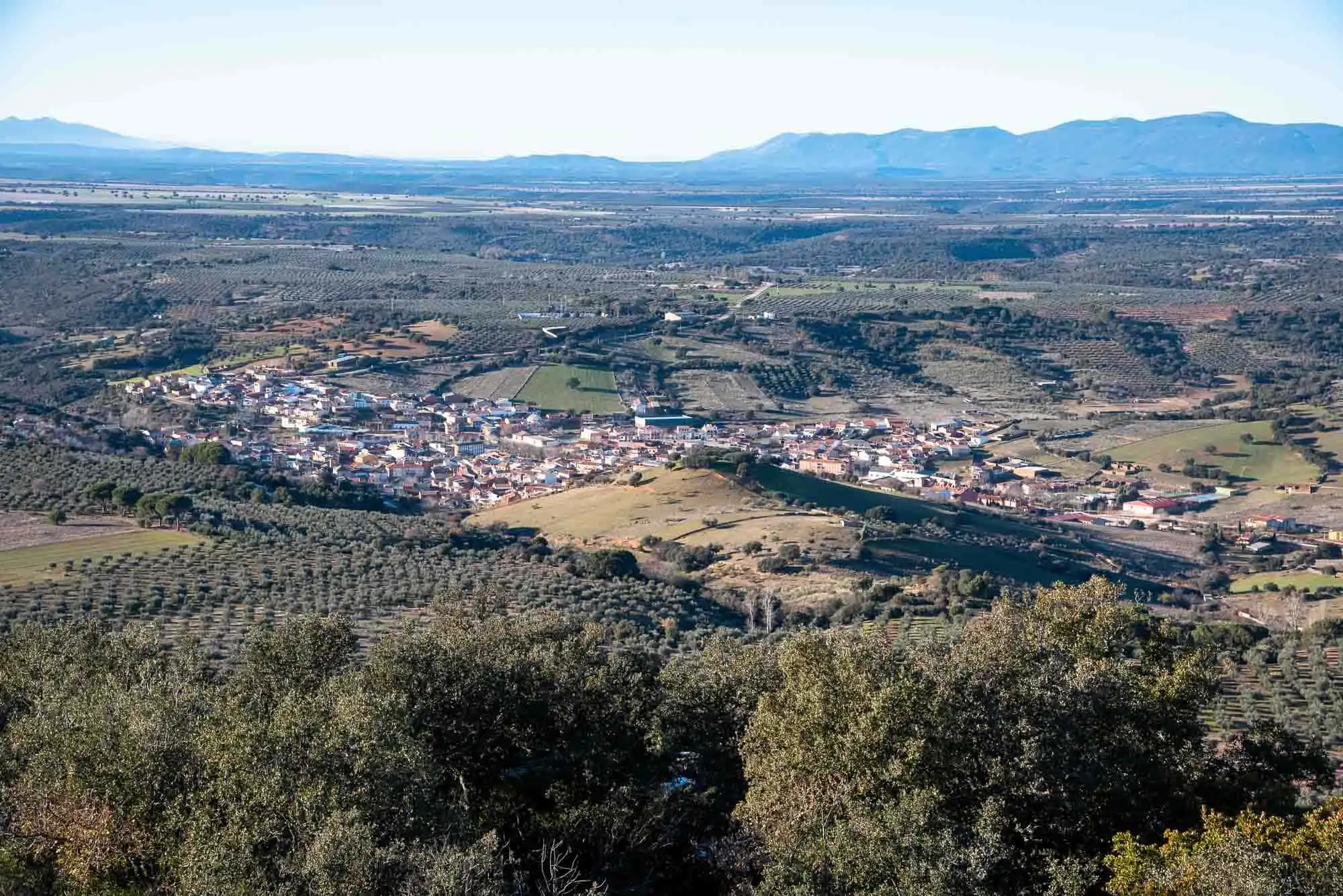
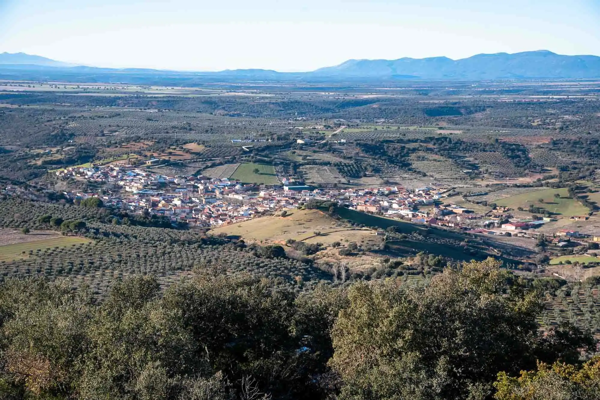
Horcajo de los Montes
Where two streams meet, at the foot of the sierra and a step from the raña.
See the village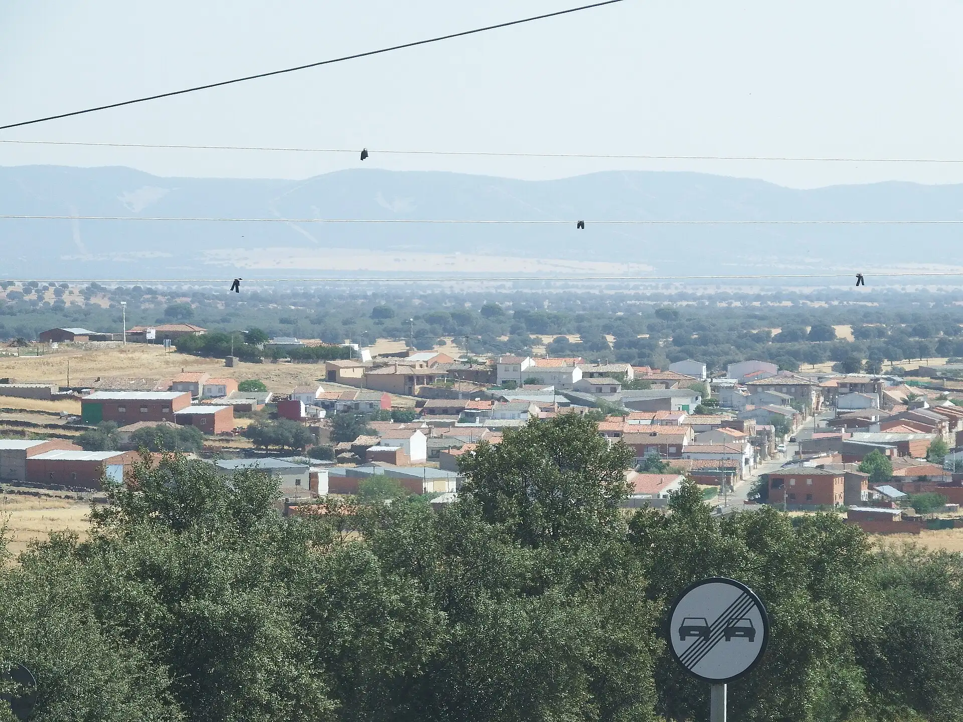
Alcoba
The municipality that gave the park the most land: the raña starts here.
With Santa Quiteria
See the village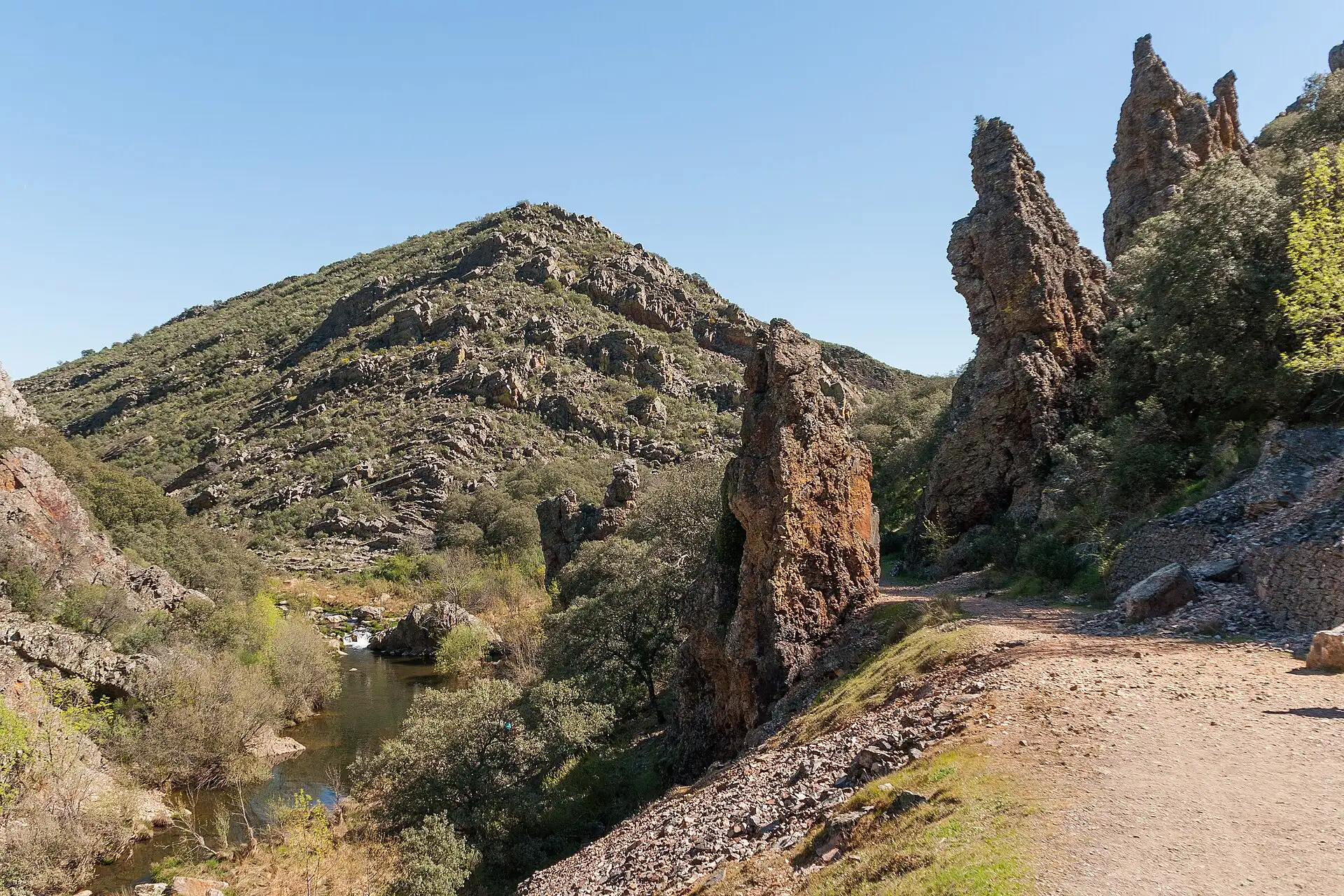
Navas de Estena
Among meadows and slates from a sea more than 400 million years old, at the entrance to the Boquerón.
See the village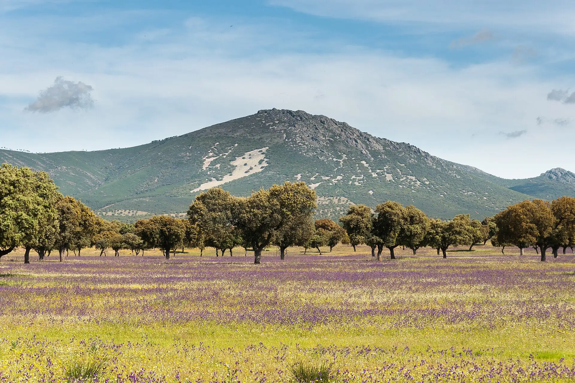
Retuerta del Bullaque
Where the Bullaque turns, between the Retuerta raña and Torre de Abraham.
With Pueblonuevo del Bullaque and El Molinillo
See the village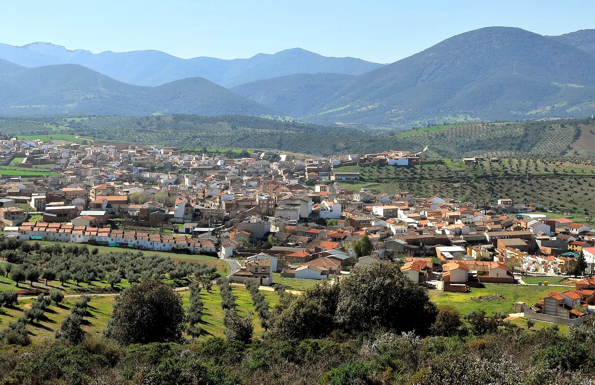
Los Navalucillos
At the foot of Rocigalgo, the highest point of the Montes de Toledo, «where nobody is a stranger».
With Robledo del Buey, Los Alares and Valdeazores
See the village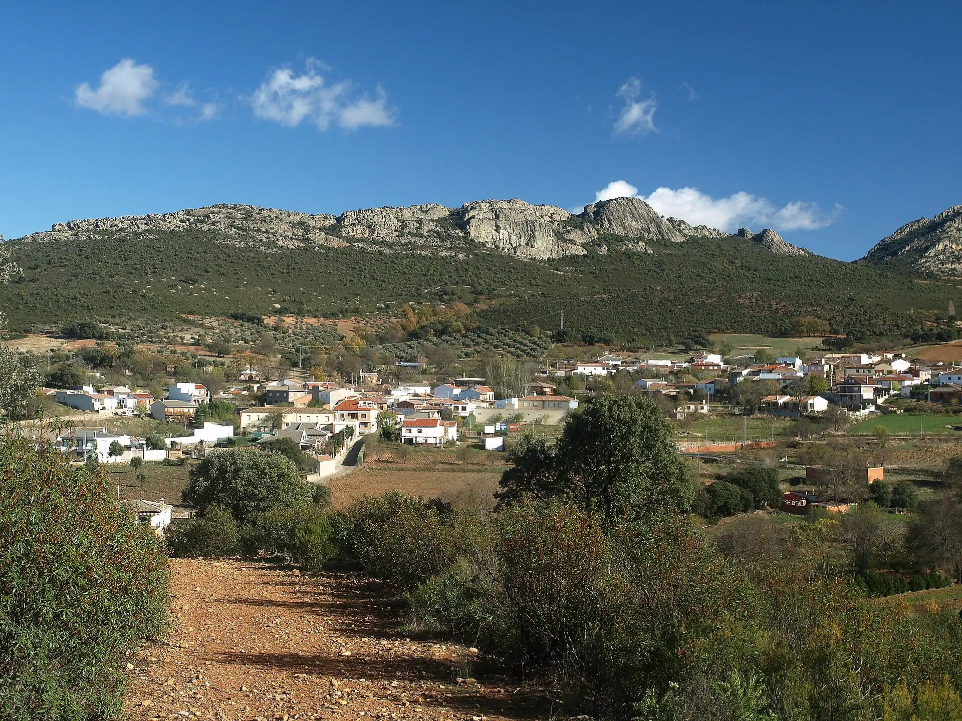
Hontanar
A valley surrounded by sierras, four springs and the ruins of Malamoneda.
See the village


Getting there
Distance and driving time from the surrounding cities. Distances from OpenStreetMap; times corrected with real journeys, rounded to 5 minutes. They are approximate.
| Village | From Madrid | From Toledo | From Ciudad Real | From Talavera |
|---|---|---|---|---|
| Horcajo de los Montes | 2 h 00 min180 km | 1 h 25 min105 km | 1 h 05 min80 km | 1 h 15 min108 km |
| Alcoba | 2 h 10 min188 km | 1 h 30 min112 km | 50 min62 km | 1 h 30 min126 km |
| Santa Quiteria | 2 h 05 min169 km | 1 h 25 min93 km | 45 min53 km | 1 h 40 min138 km |
| Navas de Estena | 1 h 50 min152 km | 1 h 05 min78 km | 1 h 20 min102 km | 1 h 05 min80 km |
| Retuerta del Bullaque | 1 h 40 min150 km | 1 h 00 min74 km | 1 h 05 min90 km | 1 h 20 min91 km |
| Pueblonuevo del Bullaque | 1 h 40 min156 km | 1 h 05 min80 km | 35 min50 km | 1 h 30 min123 km |
| Los Navalucillos | 1 h 30 min139 km | 1 h 00 min75 km | 1 h 40 min137 km | 35 min45 km |
| Hontanar | 1 h 25 min132 km | 45 min57 km | 1 h 25 min120 km | 50 min62 km |
Roads
- From Ciudad RealCM-403
- From ToledoCM-4013 or CM-401
- From Talavera de la ReinaCM-4102
Two roads cross the park: the CM-4017 (Horcajo–Retuerta) and the CM-4157 to the north, which the park advises avoiding between the Risco de las Paradas and Valdeazores because of its poor condition.
Bus
There is no public transport to the park itself, only to the villages:
- AISA: Ciudad Real to Alcoba and Horcajo de los Montes.
- Bogasbus: Ciudad Real to Pueblonuevo del Bullaque, Retuerta del Bullaque and Navas de Estena.
- SAMAR: Madrid, Toledo and Piedrabuena, with a stop at Pueblonuevo del Bullaque; and Madrid (via Toledo) or Talavera de la Reina to Los Navalucillos.
Roads and buses: MITECO-OAPN, general information about the park (2025). Plan your visit.