
Trails
La Encina
One kilometre of gentle climbing to sit in the shade of a centuries-old tree.
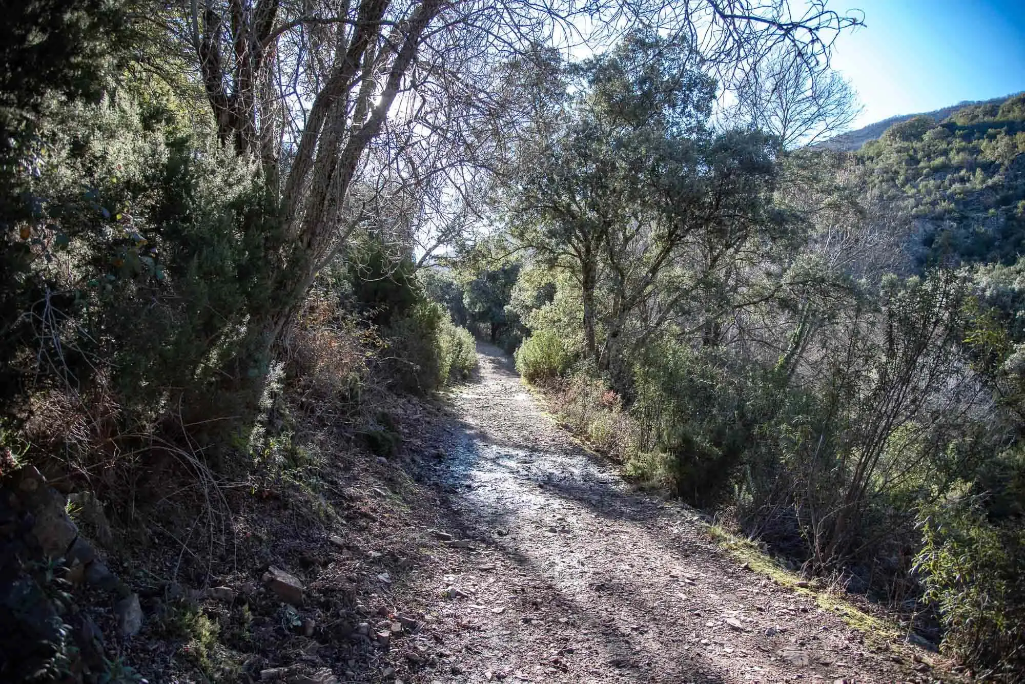
Cover photo: forest track at Los Navalucillos.
This is the shortest route in the north of the park and the best alternative when El Chorro is too long, for example with small children. It starts from the same hut as the El Chorro route and in an hour, there and back, it leads to a holm oak hundreds of years old.
Practical information
Practical information
Self-guided- Booking
- Not needed.
- Start and parking
- Las Becerras information hut: turn-off near km 16 of the CM-4155, about 10 km from Los Navalucillos, then a dirt track to the hut, which has a car park.
- Duration
- 1 h there and back
- Length
- 2 km there and back
- Climb
- 75 m
- Difficulty
- Low
- Also
- On very busy days the park may limit the number of visitors.
For seeing wildlife, the first and last hours of daylight are the best, according to the park. Official data: park information (MITECO, 2025, in Spanish).
The route
The beginning has some slope, but it is the only demanding part of the whole route. A few metres beyond the boundary of the National Park, you take the forest track on the right that runs through the Arañosa valley, among rockroses scattered with holm oaks, the most typical landscape of the Mediterranean scrub.
As you gain a little height, the three valleys of this part of the park appear, the Arañosa, the Chorro and the Calanchera, and you can clearly tell the vegetation of the sunny slopes from that of the shady ones. With luck, Griffon Vultures or an eagle pass by.
When the path flattens you see the surrounding summits, Sierra Fría, la Toledana and la Botija, and you reach an old farmhouse. Opposite is la Encina, the holm oak. It is worth sitting for a while under its branches before going back the same way.
Getting there
The starting point is the Las Becerras information hut, about 10 km from Los Navalucillos: take the turning at km 16 of the CM-4155 and follow the track to the hut, where there is parking. That track, the Becerras track, has been concreted since July 2025. If you ever find it closed, you can enter by the Pusa river reservoir, from km 10 of the same road, which was the access while the works lasted. It is the same starting point as the El Chorro, Chorrera Chica and Rocigalgo route.
Other trails in Cabañeros
Bibliography
- MITECO (2025). Información del Parque Nacional de Cabañeros. PDF
- Parque Nacional de Cabañeros. Itinerarios. Park website
- Newsletter «Desde el parque», Cabañeros National Park (OAPN), January–February and July–August 2025 (access works; in Spanish). All the newsletters.
- OAPN (2011). Guía de visita del Parque Nacional de Cabañeros. PDF