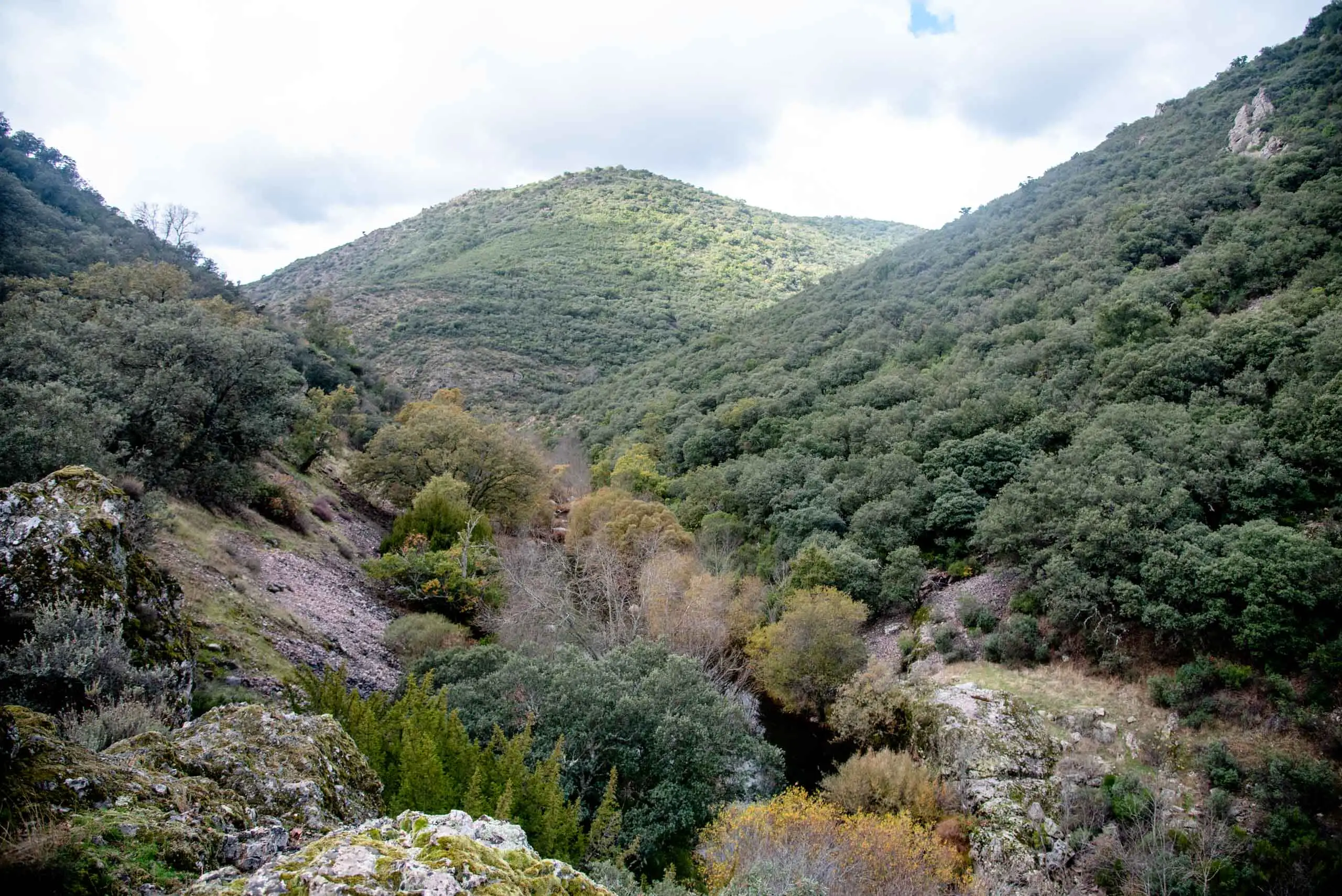
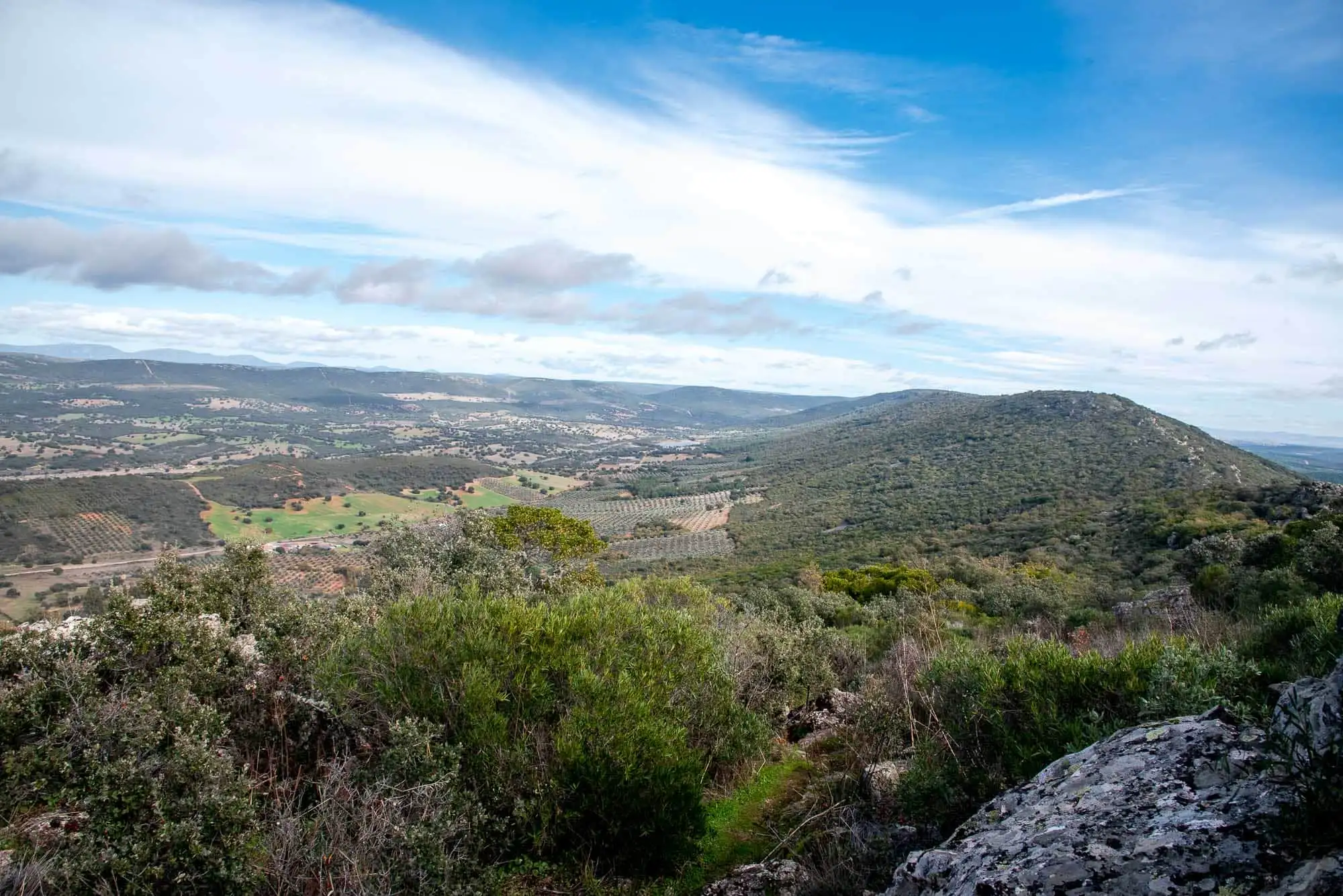
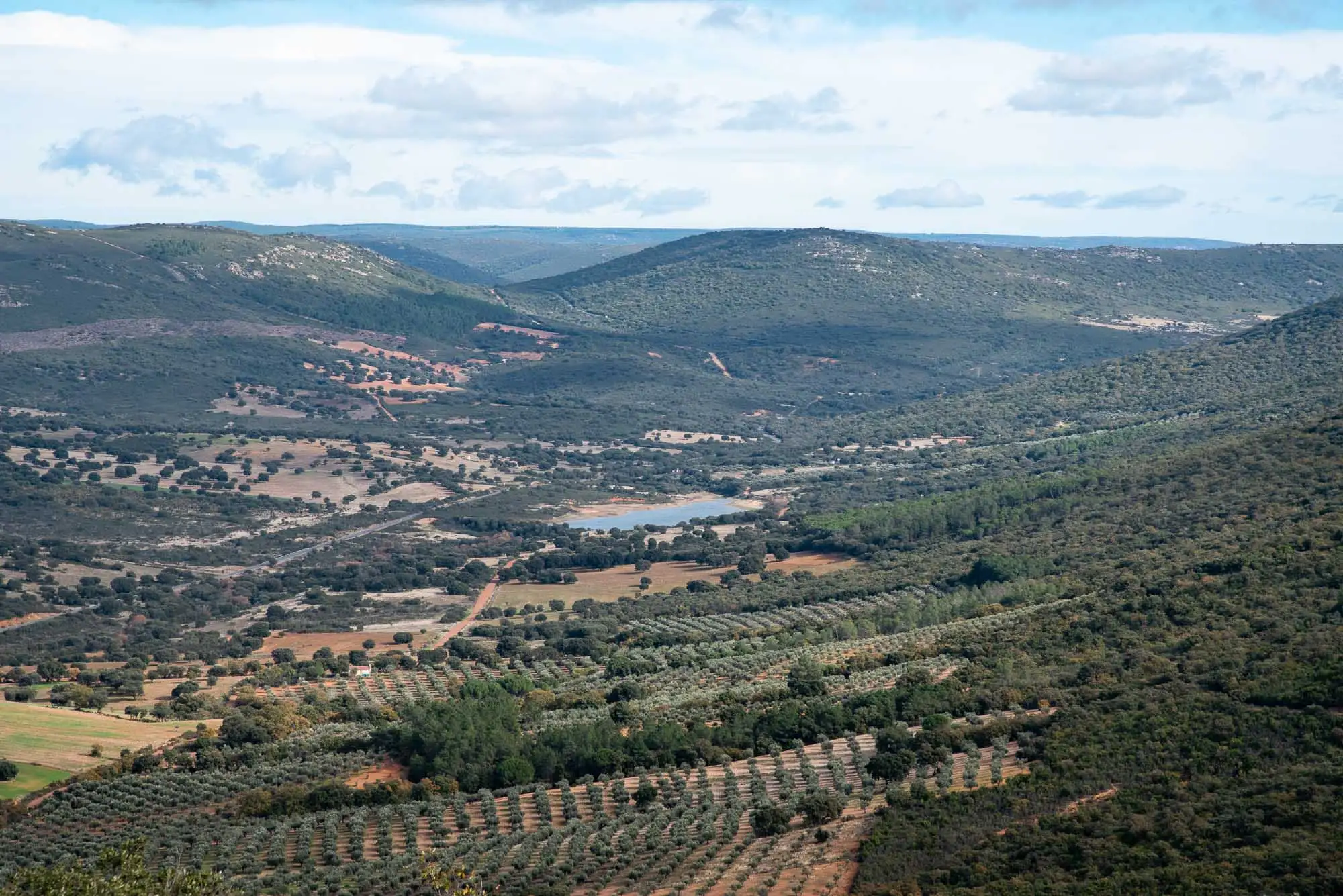
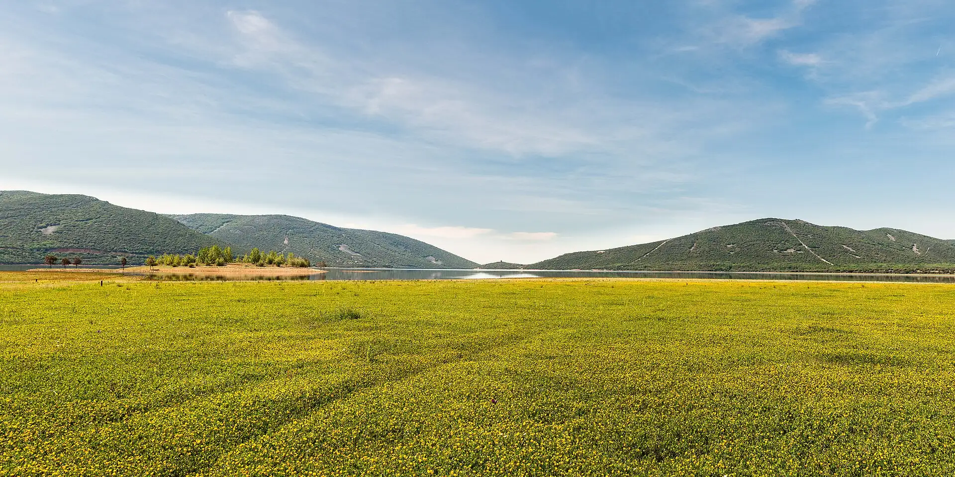
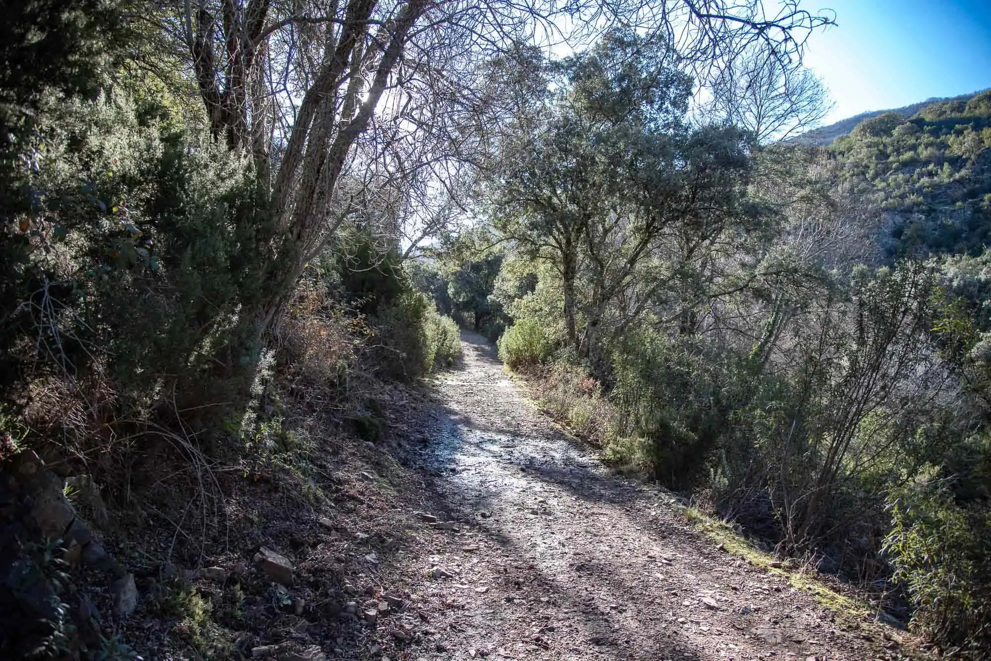
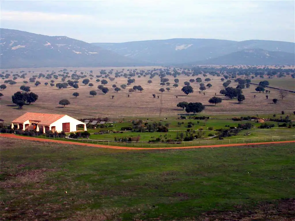
In Cabañeros, size does matter. That is why we have the tracks of the largest and oldest marine worm in the world, as well as cruzianas, quartzite towers and one of the best-preserved rivers in Mediterranean Spain.
Route profileFrom 632 to 667 m above sea level. Move your finger or the mouse over it
650 m
0 km24
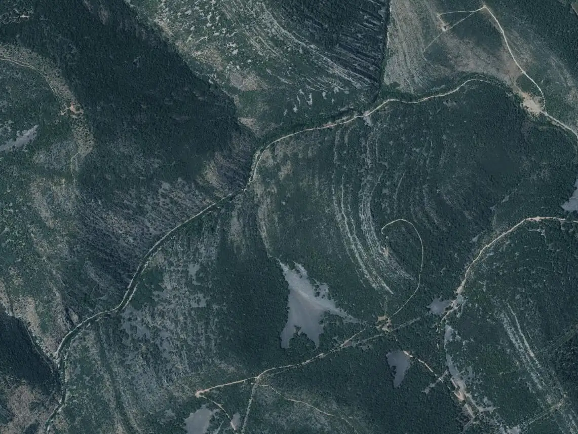
Maps: satellite and topographic maps from the Instituto Geográfico Nacional. Kilometres measured along the track (4.3 km); the park gives 6.5 km there and back from the car park (10 km from the village). Approximate heights (Copernicus model of 90 m).Download the track (GPX)
Before you go
Self-guided or with a guide. If you want a guide, book at the administrative centre (926 783 297 / 926 783 456).
In much of the park your phone has no data. Save the route before you set off and you will have all of it, with photos, map and profile. Once in the park, open cabaneros.org in this same browser: if there is no signal, the site takes you to your saved routes. GPS works without signal: on the map, “Where am I” shows your position.
It takes a few megabytes and deletes itself after 60 days.
On iPhone, Safari deletes saved data if you go more than a week without visiting the site, so save it a few days before you go.
Practical information
AccessSelf-guided or guided
Duration2 h 30 min there and back from the car park (3 h 30 min from the village)
Distance6.5 km there and back from the car park (10 km from the village)
Ascent20 m
DifficultyLow
Booking
Only if you want a guide. The guided walk is free and is booked at the park's administrative centre (926 783 297 / 926 783 456) or through the National Parks Booking Centre.
Start and parking
The village of Navas de Estena or the route's car park, reached by a 1 km unpaved track on the edge of the village.
Also
On very busy days the park may limit the number of visitors.
Leaflet
«La Tierra hace más de 400 millones de años», for doing it as a self-guided walk, at the information points and on the park's website.
For seeing wildlife, the first and last hours of daylight are the best, according to the park. Official data: park information (MITECO, 2025).
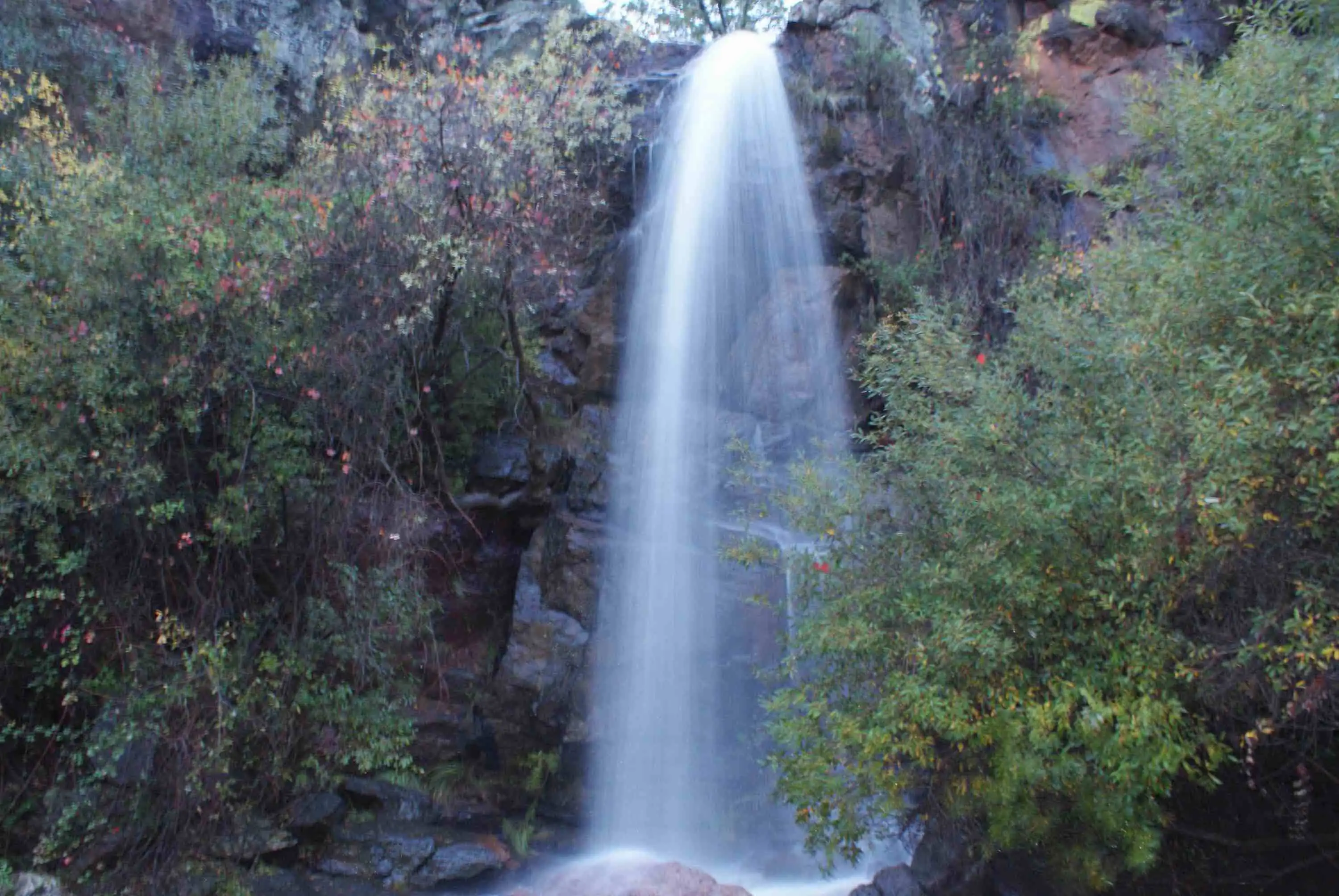
To the park, on 926 783 297. The route crosses the river and, when the Estena rises, it is closed: this happened in December 2022, in January and at Easter 2024, at the end of January 2025 (partly, from 30 January to 7 February) and in the storm of 2026, which kept it closed until 27 February1.
With a guide, be on time
Together with El Chorro, it is the most visited route in the park: 14,159 people in 20222. On very busy days the park may limit numbers. If you go with a guide, they wait 15 minutes as a courtesy; if you are not going, let them know as soon as possible, and with fewer than four participants the park may cancel the departure.
Hiking boots
Or, failing that, trainers. You have to cross parts of the river on wet stones, and you can slip in the muddy areas.
Water from home
Bring a flask or a bottle: there is nowhere to buy water along the way.
In summer
Do not forget sunglasses, a cap and sun cream.
Binoculars
For the river wildlife: the Common Kingfisher, the White-throated Dipper and, on sunny days, Mediterranean pond turtles on the stones. Above, the vultures.
Stage by stage
6 stages, from car park to car park. The plan follows your reading: the light dot is where you are. The stop numbers are the wooden posts of the park leaflet.
1km 0 – 0.6
El Chorrito and the Boquerón
The route follows the remains of a road that was never finished, beside the bed of the Estena river. Right at the start we cross the Chorrito stream by a small bridge, which takes us straight into Cabañeros National Park. When it rains hard it swells together with the Estena, and it is one of the reasons why the park closes the route. At the beginning of 2026 a footbridge was being built over it, paid for by the Cabañeros Tourism Sustainability Plan and the Ciudad Real provincial council; in February it was still not finished3.
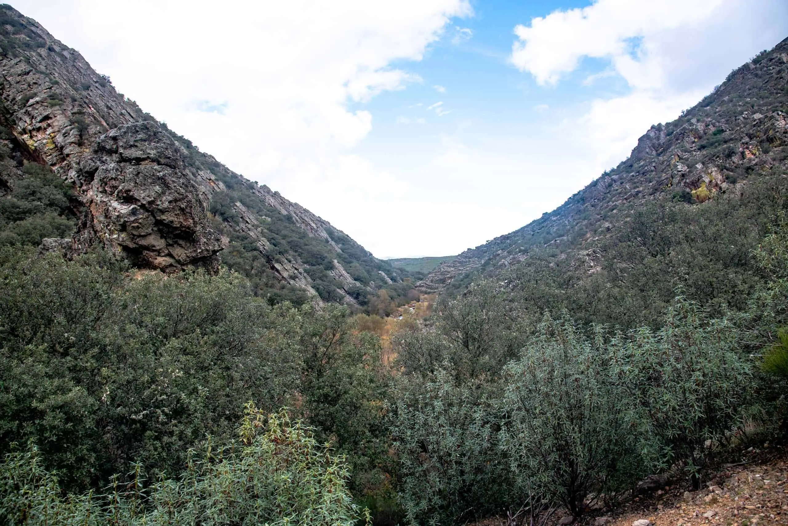
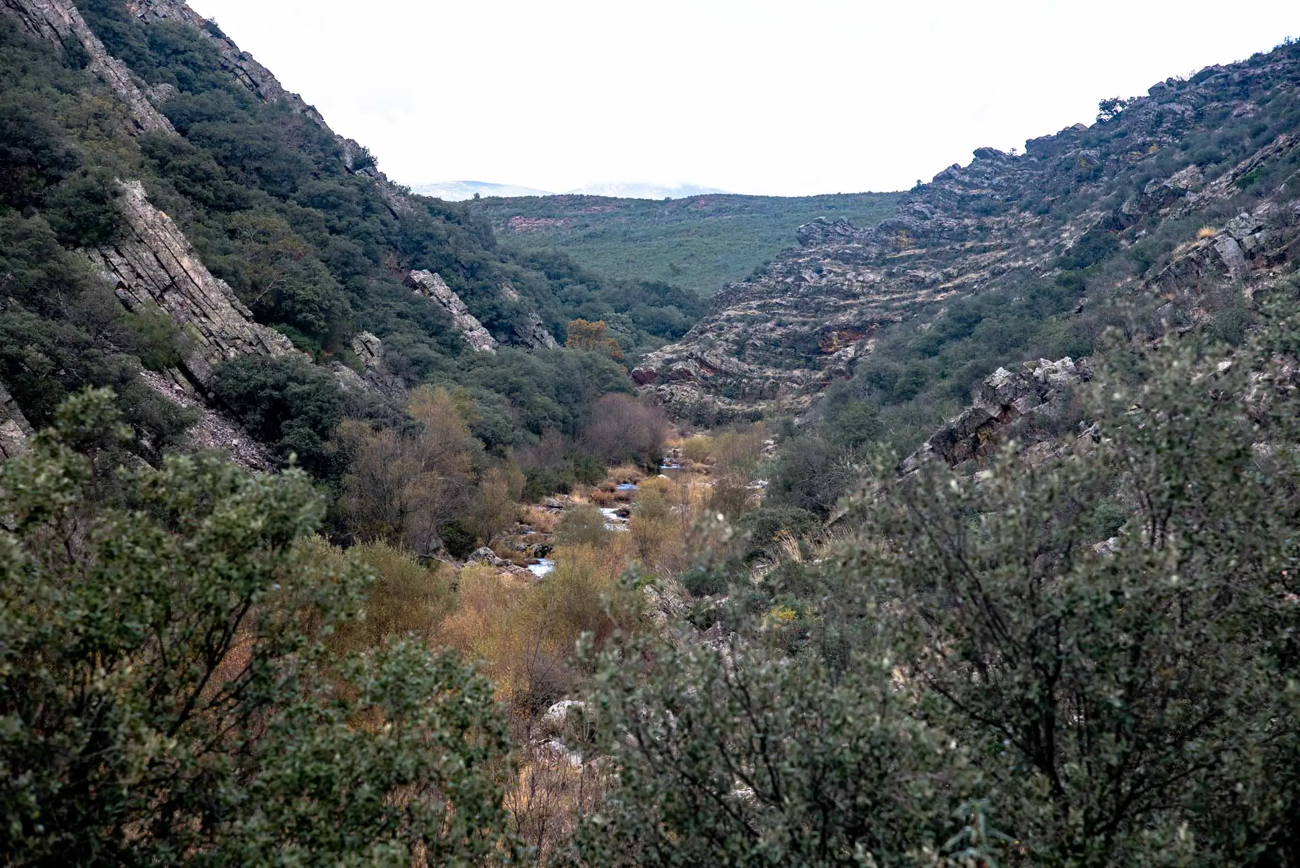
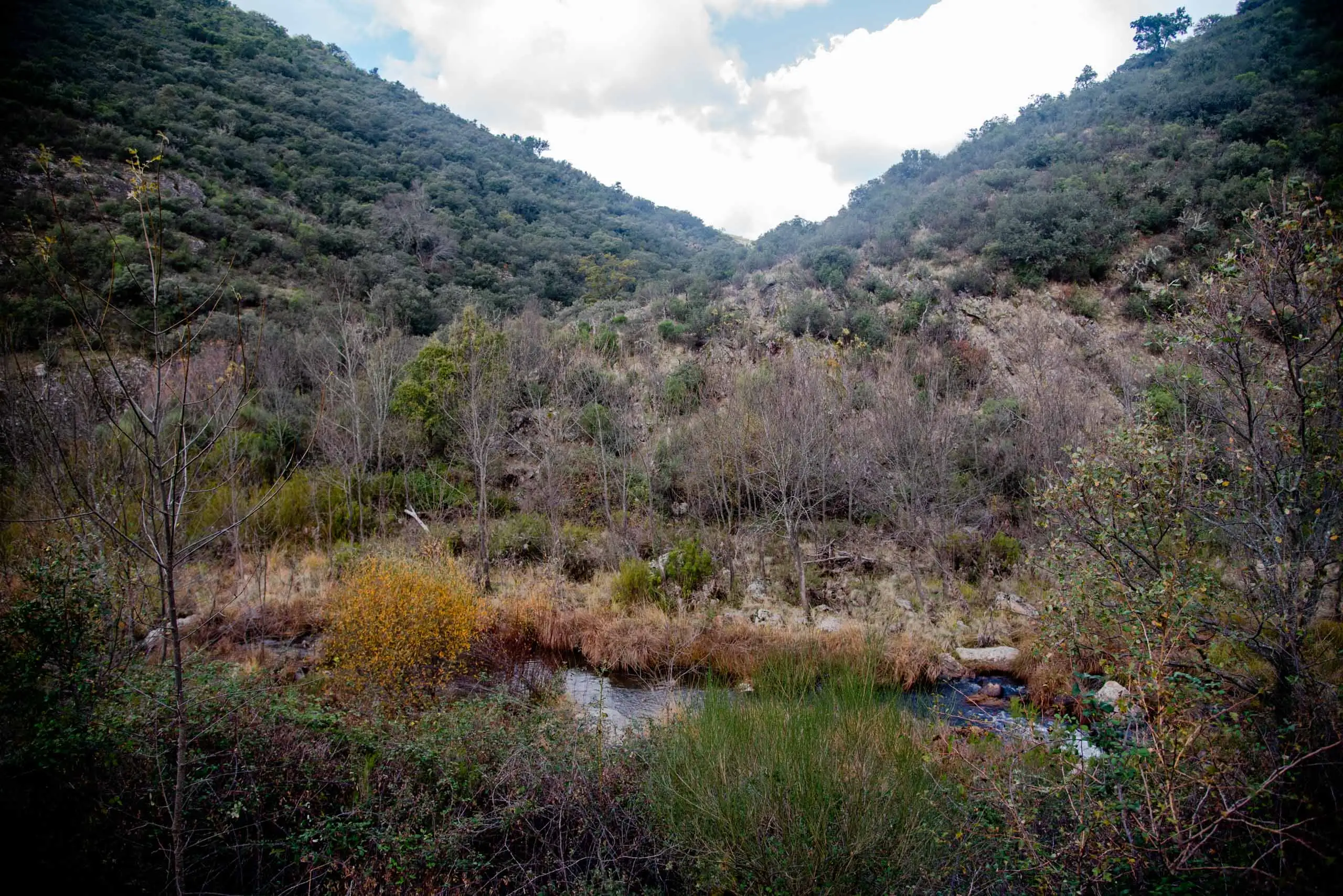
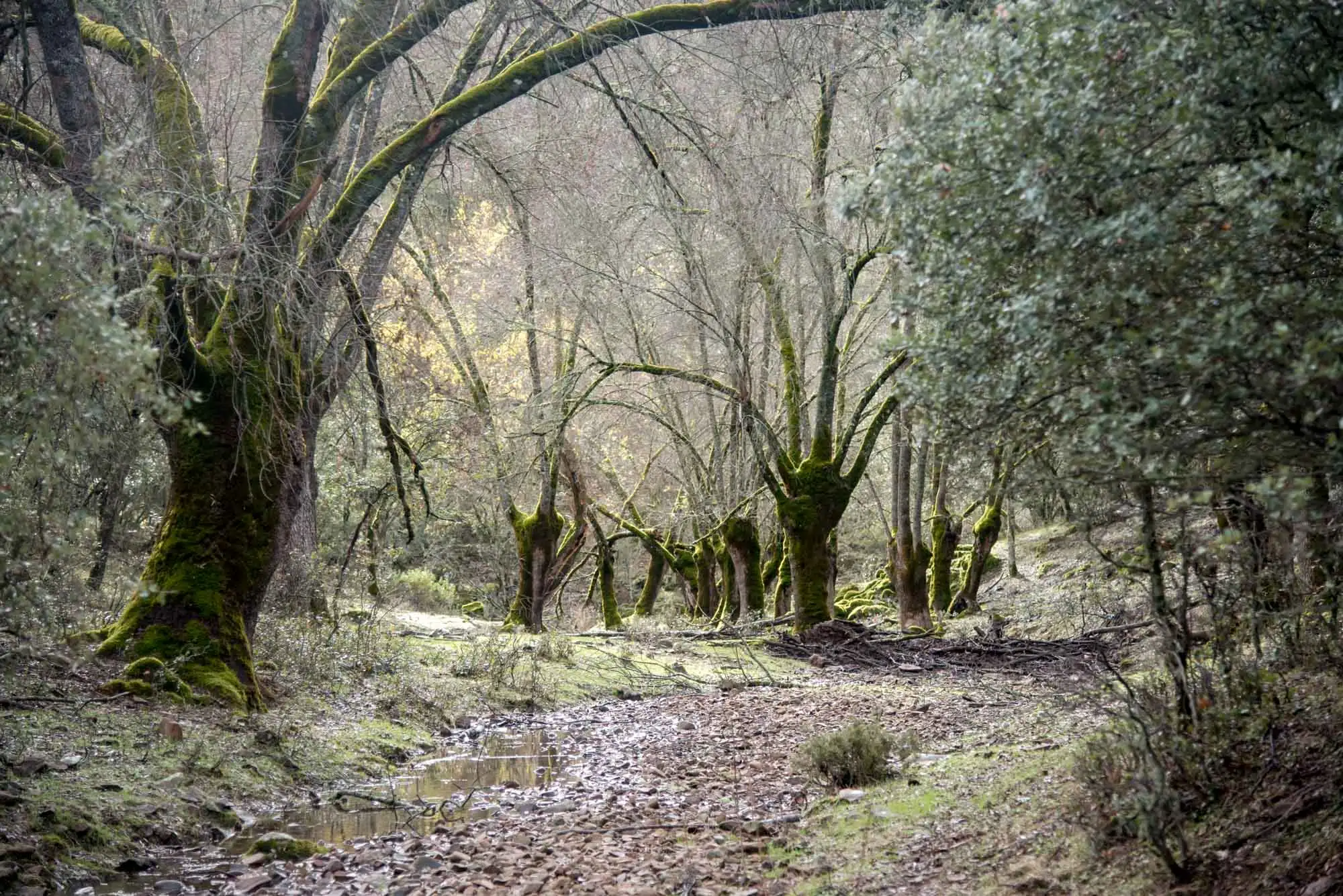
We follow the path between rockrose scrub (Cistus ladanifer) and French lavender, with holm oaks and cork oaks, to the confluence of the Chorrito with the Estena, which comes down from the heights of the Rocigalgo massif. They meet in an opening of the valley that gives the route its name: the Boquerón, which means a big mouth or opening.
The Boquerón: the valley opens up.
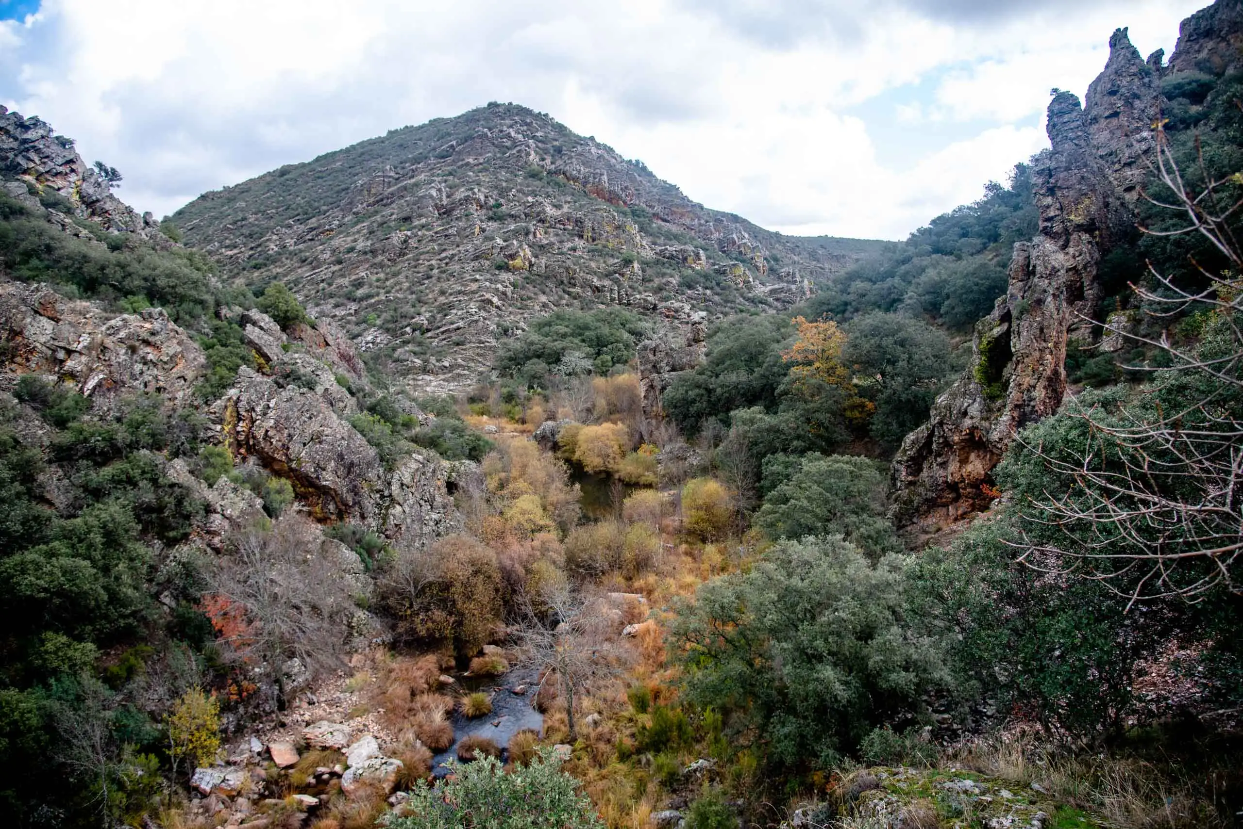
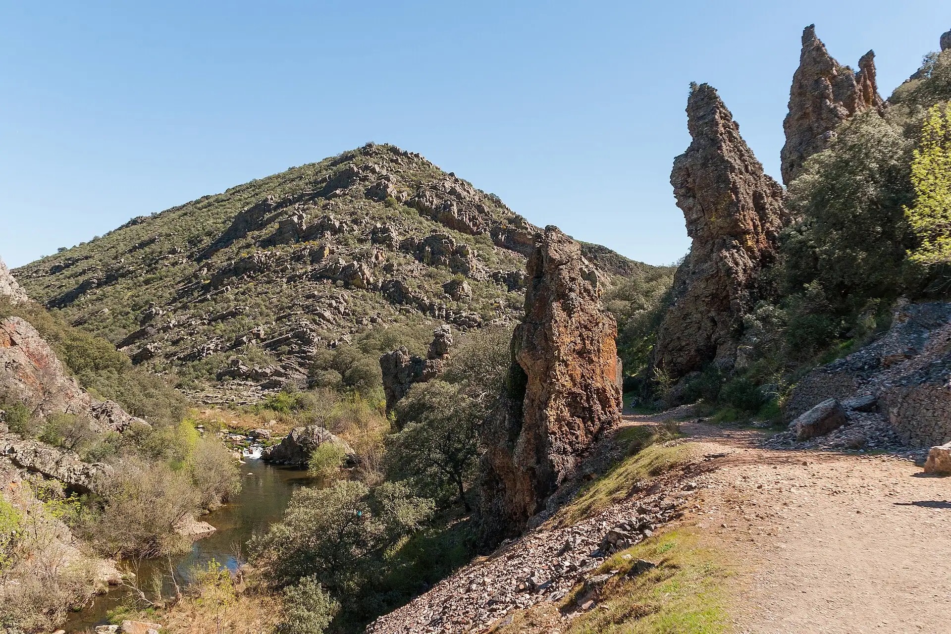
The Estena, between quartzite slopes.
2 photos
It is one of the most interesting routes in the park for its geology. We walk along a continuous section of the Lower Palaeozoic formations, from the start of the Cambrian to the Middle Ordovician. First we see the youngest, the Navas de Estena Slates, of the Middle Ordovician, and as we advance we reach the oldest, the Azorejo Sandstones, of the Terreneuvian, the first stage of the Cambrian4.
2km 0.6 – 1
The Torres and the Risco Tirapanes
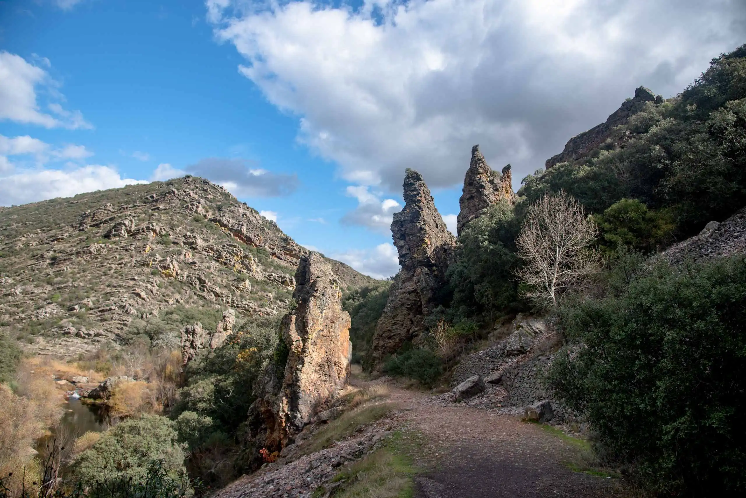
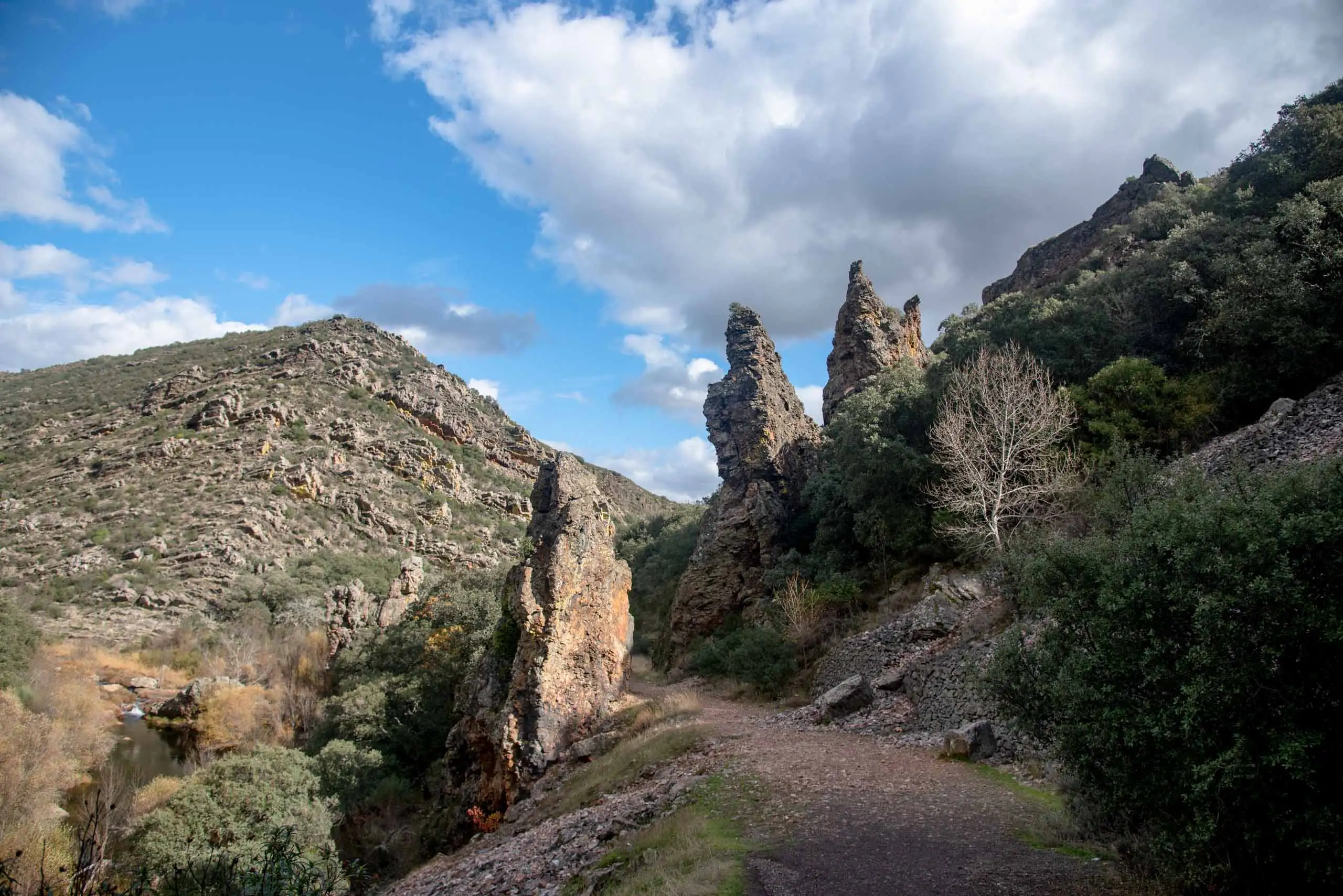
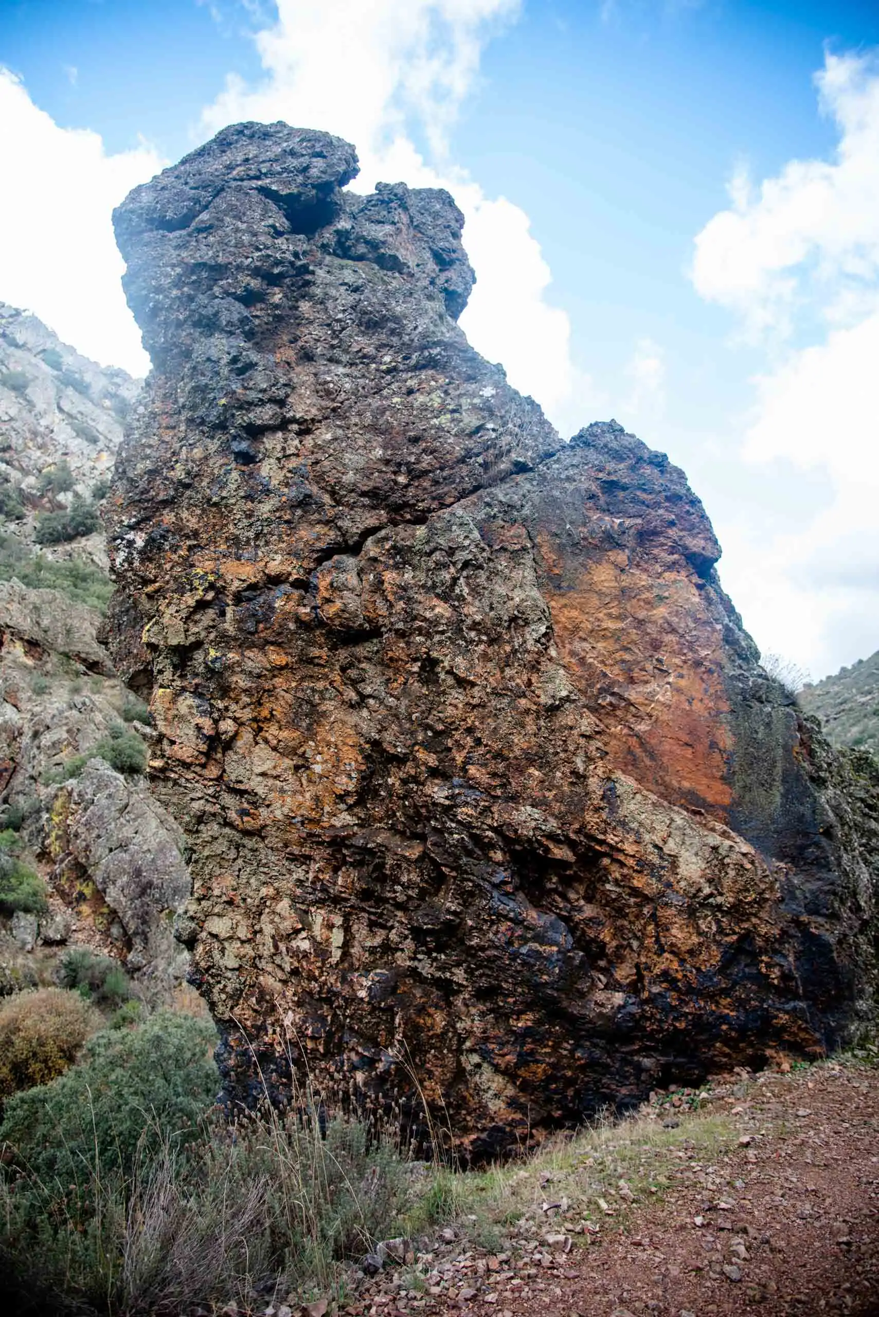
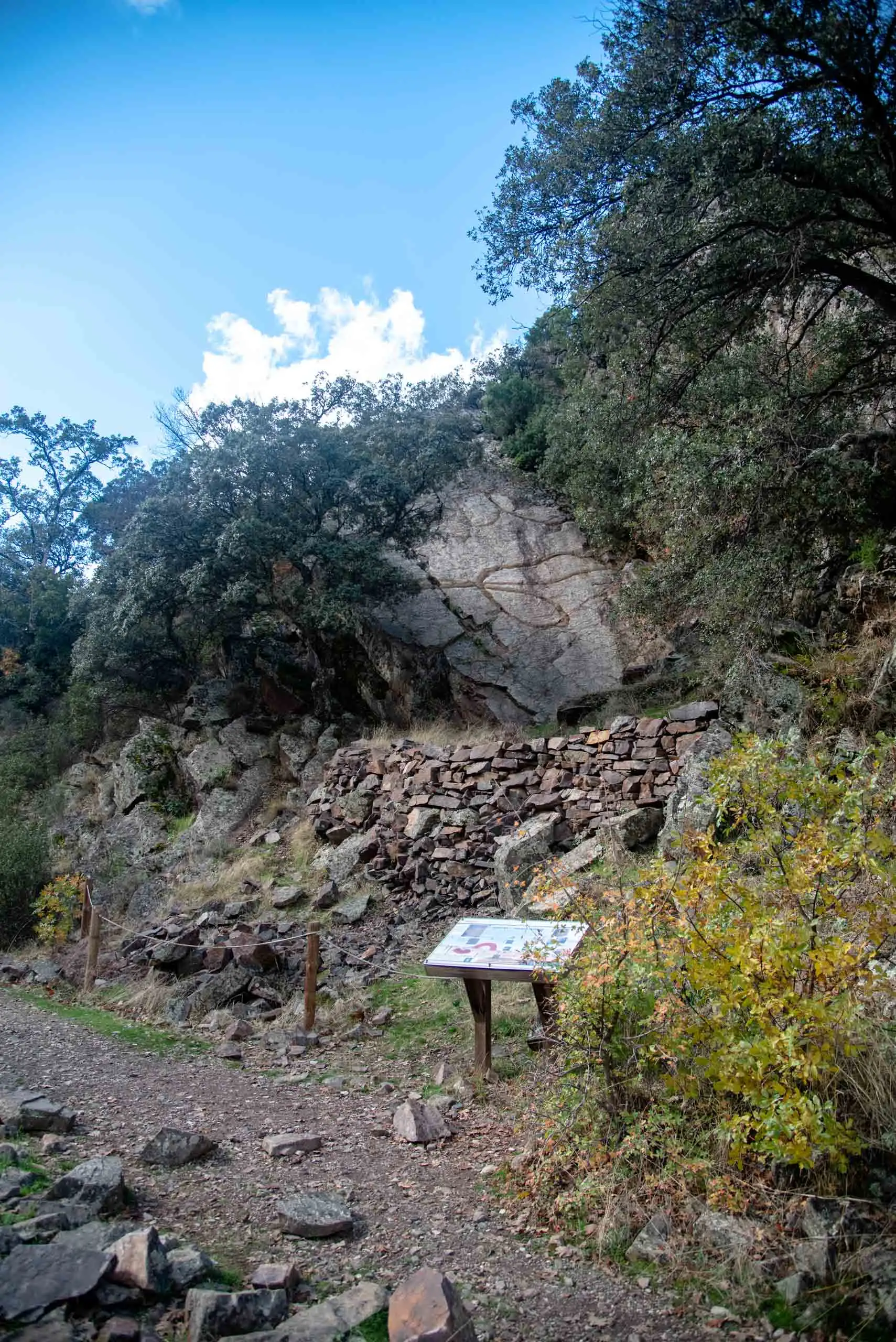
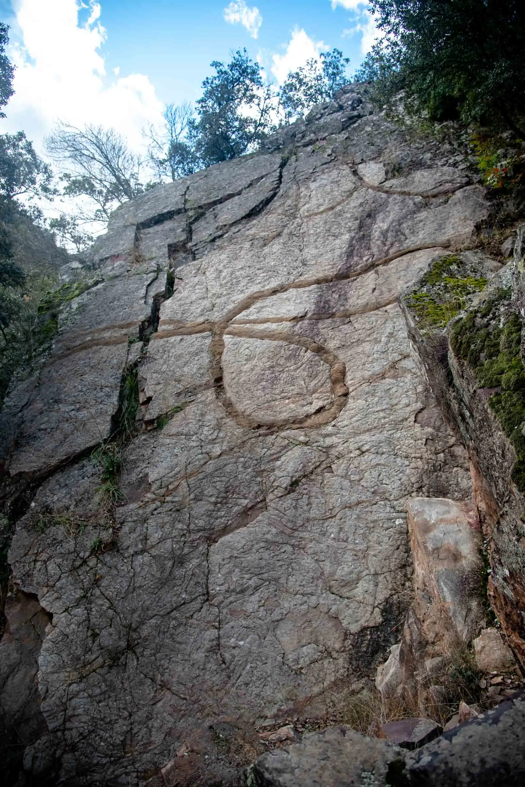
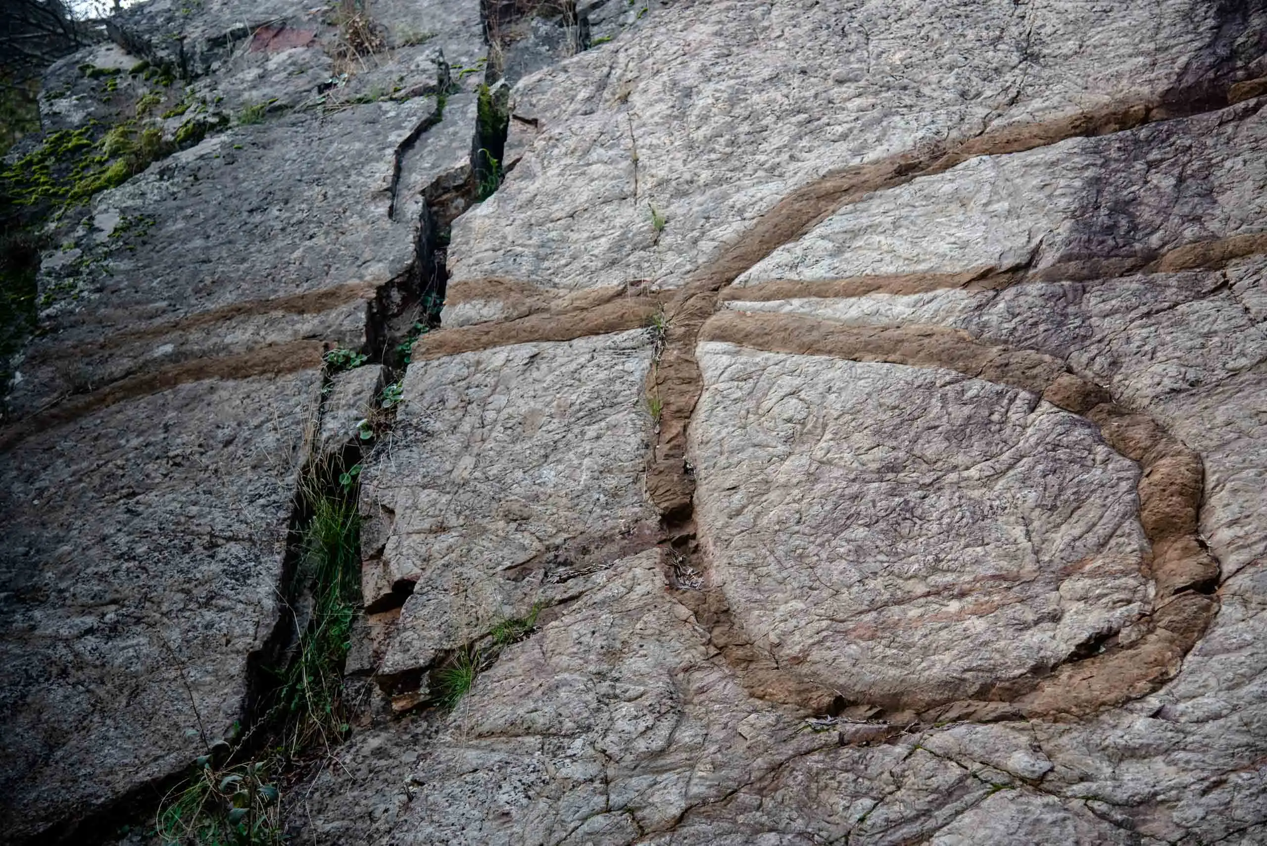
A little further on appear the famous Torres del Estena, quartzite columns born from the friction of a fault zone. The three towers are part of a tectonic breccia: movements of the earth broke the rock from within and then its fragments were cemented together again. Through the faults, which erosion no longer lets us see, hydrothermal fluids flowed and left iron and manganese oxides and hydroxides, the dark patina of the rock, sometimes in rounded shapes.
The Torres del Estena.
The breccia, with its patina of iron and manganese.
2 photos
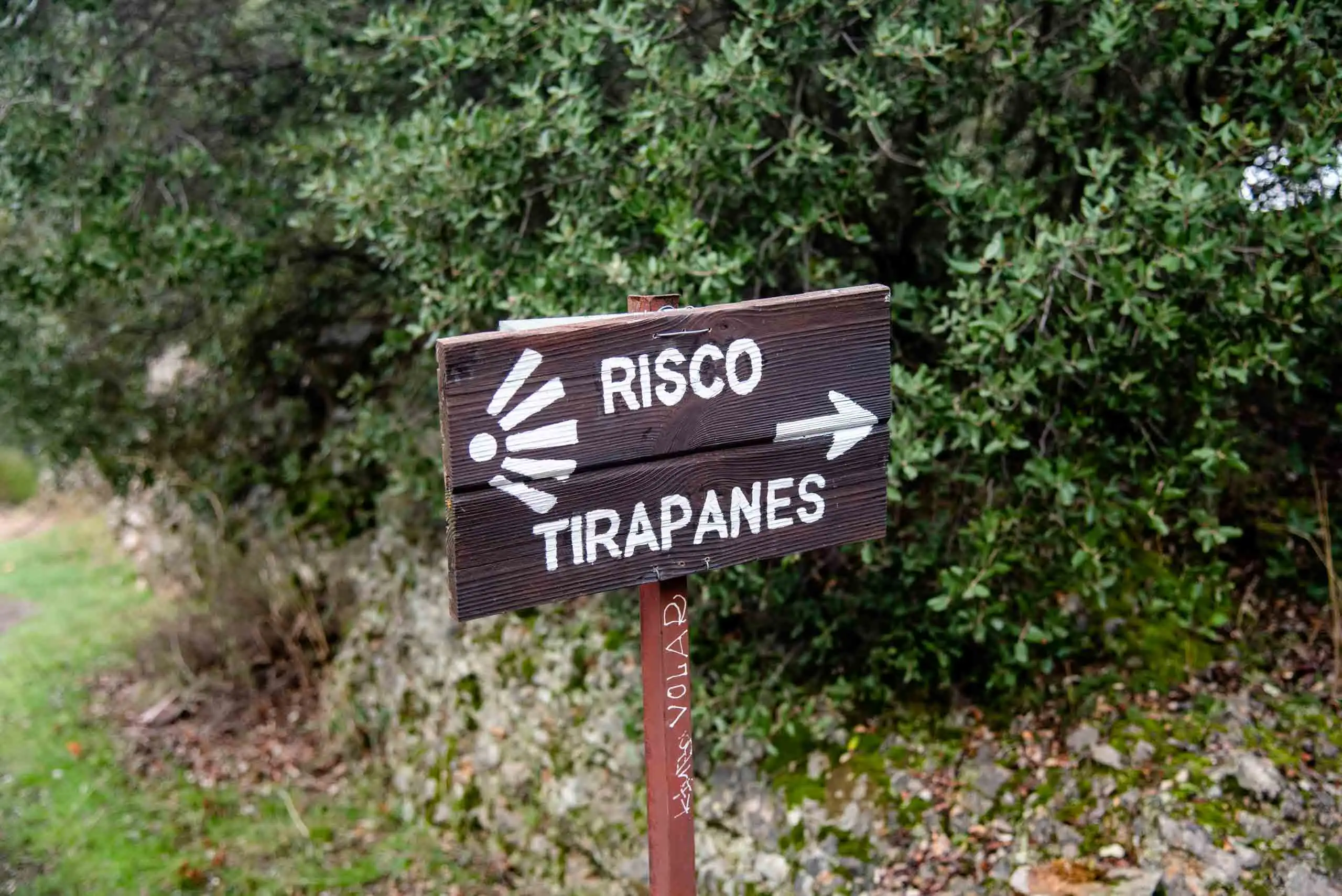
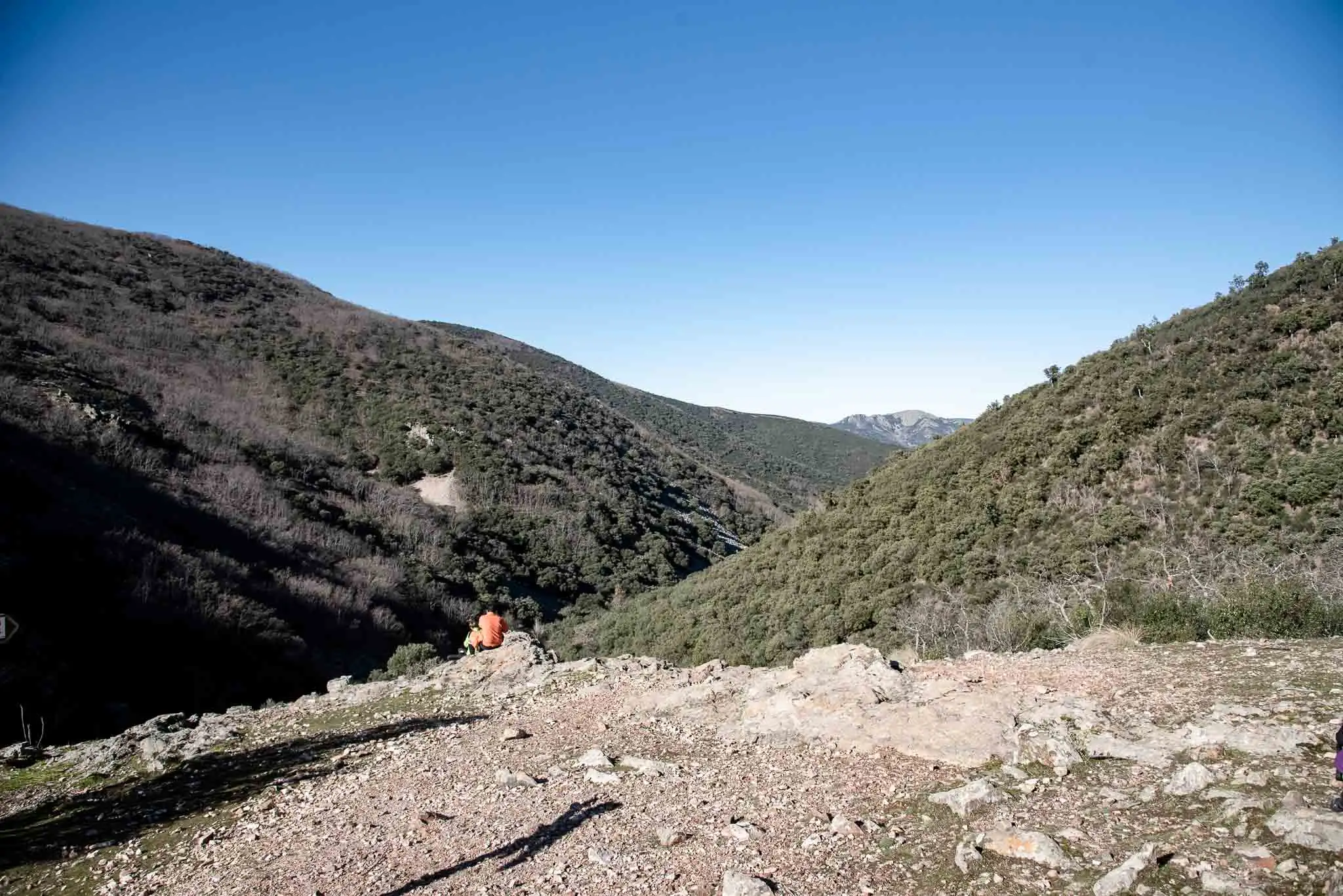
We continue and, on the right, a short path leads to a lovely viewpoint: the Risco Tirapanes, or «tirapán» (bread-thrower). It is called that because, when the river rose, the women threw bread and other provisions from here to the men working in the hills, charcoal-burning, herding or stripping cork. It was a delivery service with good aim as its only insurance.
The turning to the Risco Tirapanes.
View from the Risco Tirapanes.
The Estena, from above.
3 photos
3km 1 – 1.3Stop 3
The Fuente del Fresno and the cruzianas
Next we pass the Fuente del Fresno, beside a centuries-old ash tree. Very close there are some yews.
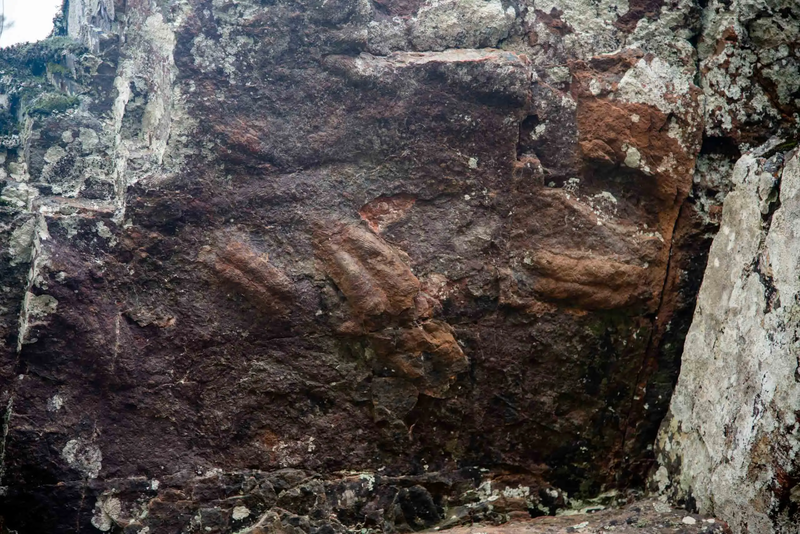
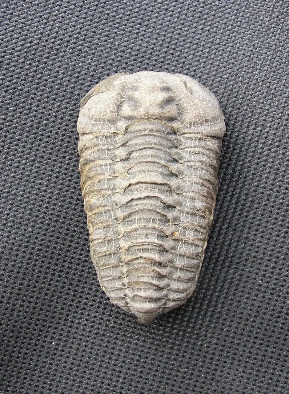
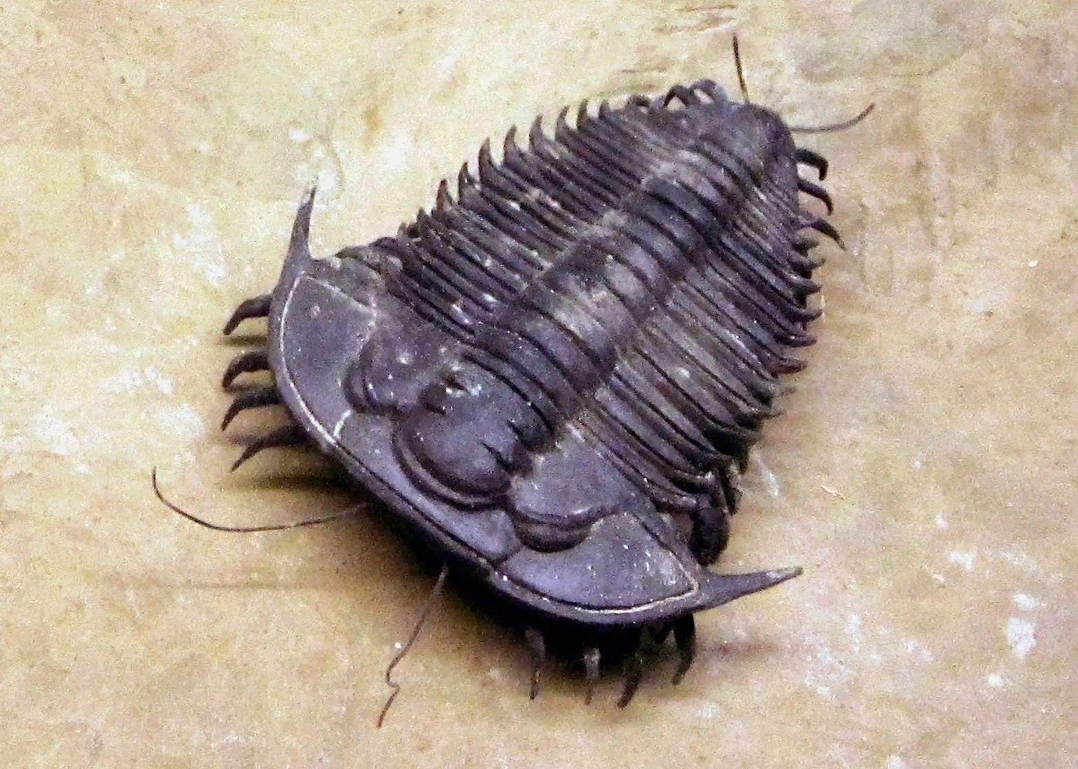
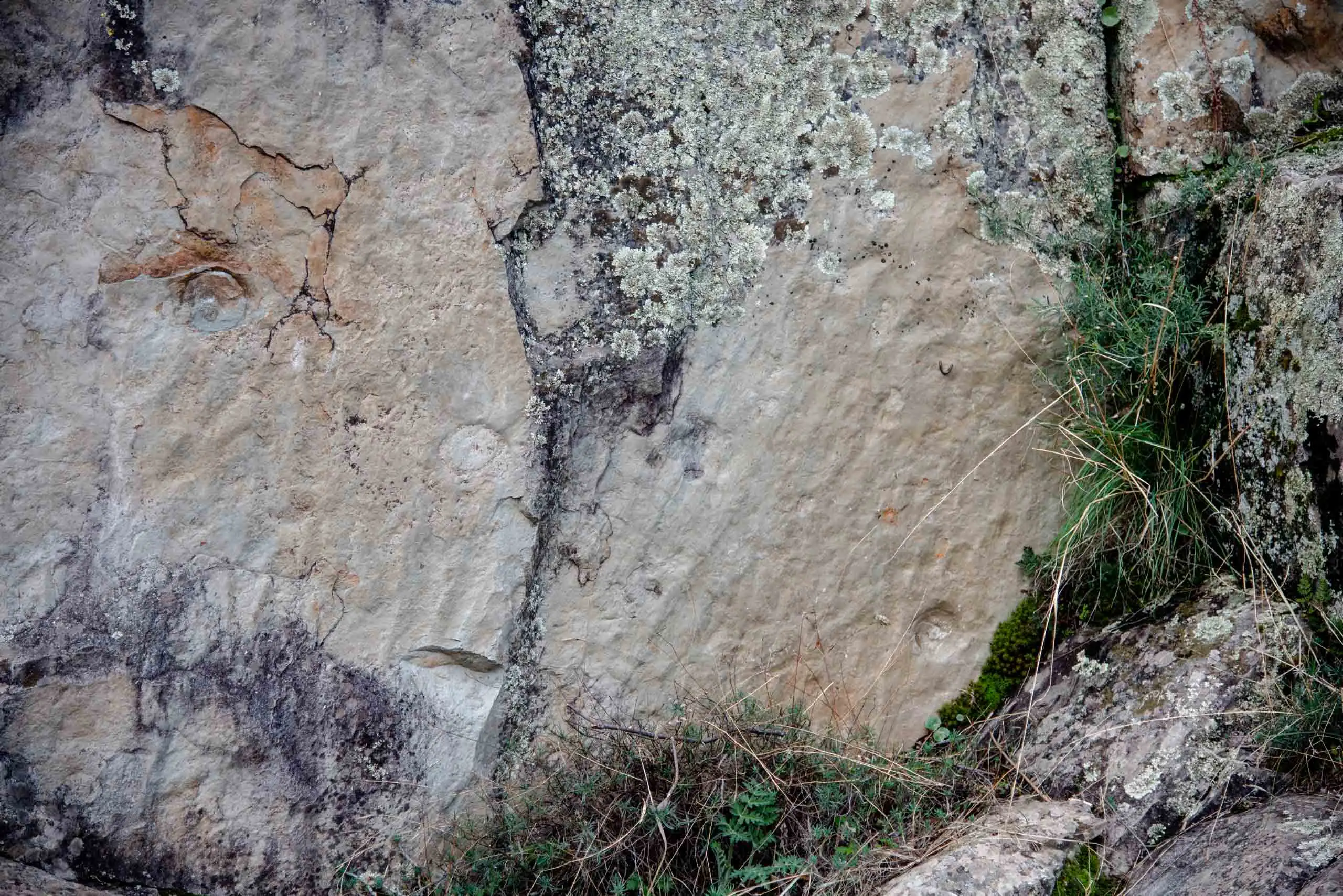
At stop 3, at the base of a quartzite layer, you can see some cruzianas, a type of trace fossil. They are the tracks trilobites left when they dragged themselves along. Trilobites (Trilobita, «three lobes» in Latin) were the most characteristic arthropods of the Palaeozoic: they appeared more than 540 million years ago and died out 250, and they lived here when all this was sea.
The cruzianas of the Boquerón.
A fossil trilobite.
Reconstruction of a trilobite.
3 photos
What we see is not the furrow but its filling: the trilobite stirred the sand on the seabed looking for food and the sediment that fell afterwards filled the track.
1The furrowOn the Palaeozoic seabed, a trilobite stirs the mud looking for food and leaves a two-lobed furrow.
2The sand covers itA layer of sand covers the seabed and fills the furrow.
3It turns to rockOver millions of years, with more layers on top, the sand becomes quartzite and the mud becomes slate.
4The cruzianaThe softer slate erodes first. At the base of the quartzite the filling of the furrow remains, in relief.
How a cruziana is made, in a cross-section of the seabed. Not to scale.
4km 1.3 – 1.7Stop 4
The storms of the past and the river
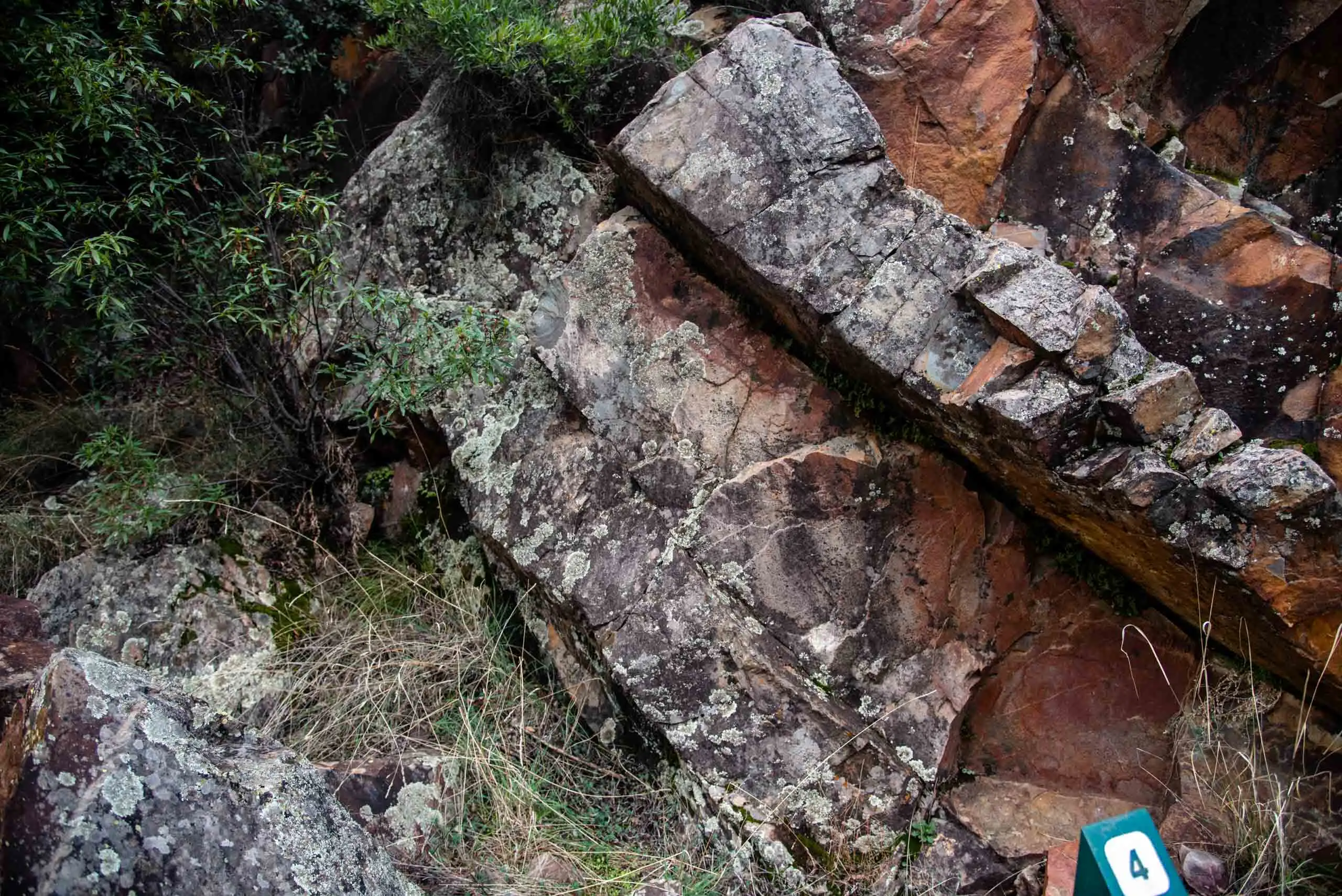
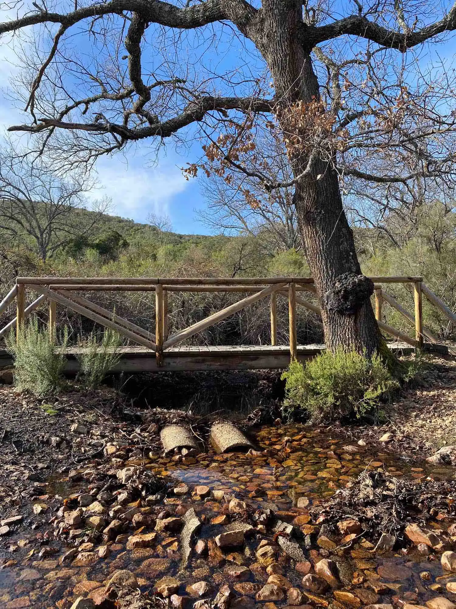
No, it is not the title of a film noir. After crossing the Estena by a small wooden bridge we reach stop 4: climate tracks. In the Palaeozoic storms were frequent, and you can tell from the quartzite layers, with dome-shaped structures. They are mounds of sand raised by turbulent currents less than 90 metres deep, where normal waves no longer reach the bottom.
Storm marks in the quartzite.
On the ash trees and willows of the banks you can see the marks of the winter floods. At the river's edge there are also species rare at these latitudes, from damper times: yews, hollies and birches.
The riverside wood of the Estena.
The yew is the most symbolic tree of the route. There are 45, some large and more than two hundred years old, in the shadiest and dampest areas, spread over two stands 300 metres apart: in the first, 4 large yews; in the second, 15 fine ones and 26 young ones, a sign that the site is regenerating well5.
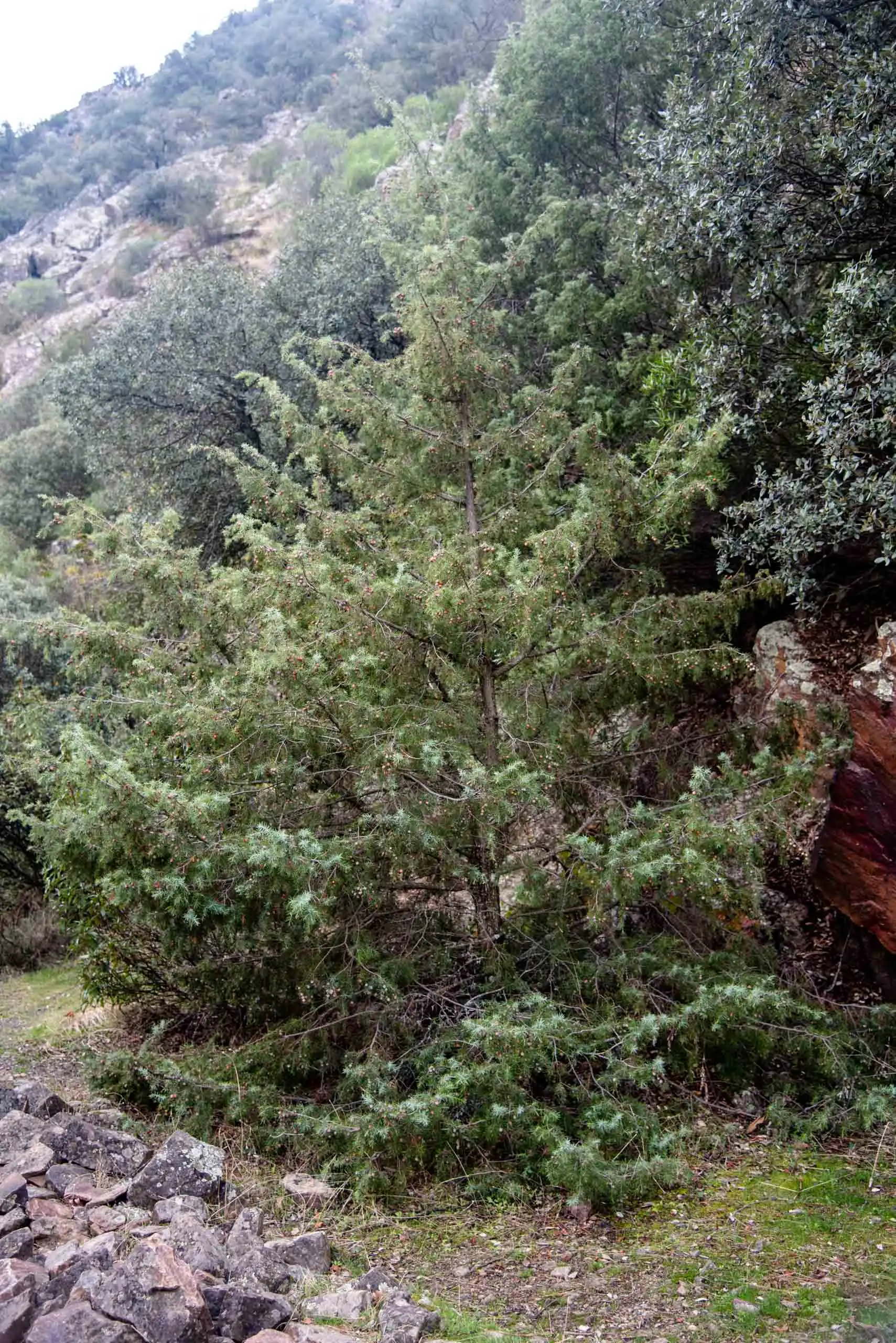
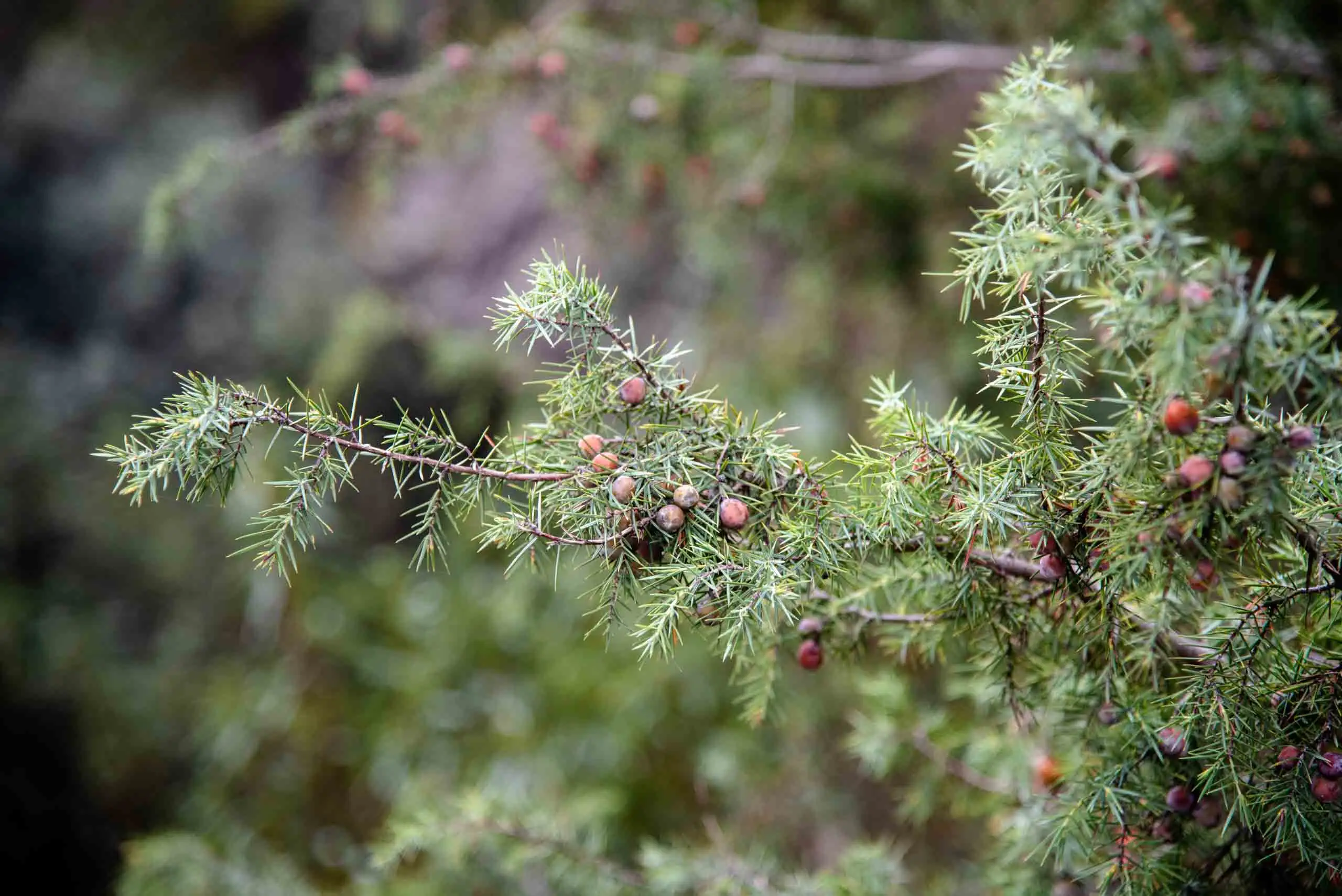
On the slopes there are holm oaks and cork oaks, and the odd prickly juniper (Juniperus oxycedrus), scarce elsewhere in the park, which here finds the stony, steep ground it likes.
Prickly juniper.
Juniper, with its berry-like cones.
2 photos
5km 1.7 – 2.1
The giant worm
Shortly before the end, along the road that never was but left us this route, we reach one of the points of greatest interest: the giant worm, the largest and oldest marine worm on the planet. It lived here, when this was sea, 475 million years ago.
It was discovered in 2009 by a team from the Spanish National Research Council. According to its researchers, it grew to a metre long and about 20 centimetres wide, and lived in large burrows that it dug in the sand of the seabed, near the ancient continent of Gondwana. It cannot be fully confirmed, but it is thought to have come from cold waters, because of the nearness of the South Pole and its size: animals of cold climates tend to grow larger.
The slab of the giant worm.
Its burrows, close up.
The giant worm of Cabañeros.
3 photos
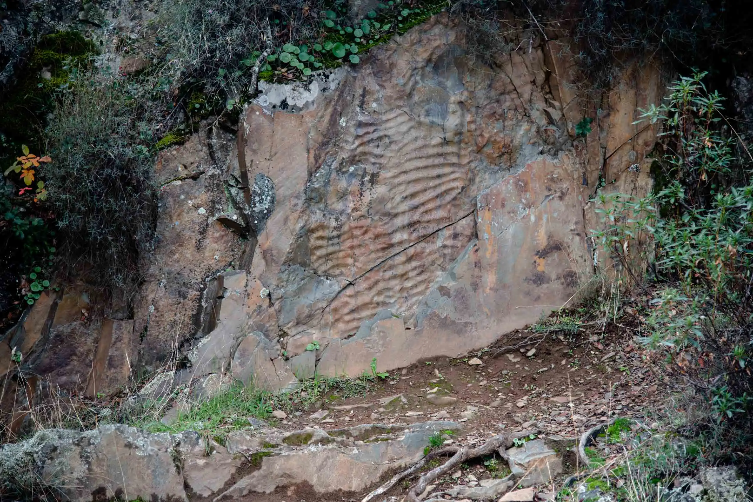
Almost at the end, where the private estate of El Maíllo begins, you can see ripple marks, the undulations left by waves or wind on loose sand, as on a beach or in the desert. These have symmetrical crests: they were made by waves in shallow water, near the coast.
Ripple marks.
There are also tracks of sea anemones, of the group that includes jellyfish and corals. They left circular marks in the strata when they anchored themselves with a central stalk; the mouth, ringed with tentacles with stinging cells (cnidocytes), served them for defence and for hunting.
This is what the track of an anemone looks like.
Anemone tracks.
2 photos
The largest and oldest marine worm in the world: one metre long and 475 million years old.
6km 2.1 – 4.3
The way back along the river
We go back the same way. The worm is still in its place: it has not moved for 475 million years.
The Estena rises at the foot of the Rocigalgo, crosses the park and ends at the Cíjara reservoir. It is one of the best-preserved rivers in Mediterranean Spain and is declared a River Nature Reserve. To keep it that way, for about twenty years electrofishing has been carried out: small discharges that stun the fish without harming them, just enough to measure them, return the river's own to the water and remove invaders, such as the largemouth bass (Micropterus salmoides)6.
Of its fish, more than half of the species are threatened, and they live here because the water is so clean: the jarabugo (Anaecypris hispanica), which lives only in the Guadiana basin and is endangered, the pardilla, the colmilleja, the calandino, the cacho and the Comizo barbel. On sunny days Mediterranean pond turtles can be seen on the stones, where the otter also leaves its droppings, and it is easy to see some American crayfish and water snakes.
In the sky there are vultures, and on the cliffs and the river, birds such as the Crag Martin, the White-throated Dipper, swallows, wagtails and the Common Kingfisher. More about the birds of the rivers of Cabañeros.
On the scree slopes, crags and pedrizas grows a flora suited to that environment: Phagnalon (Phagnalon saxatile), pinks (Dianthus lusitanus), foxgloves (Digitalis purpurea subsp. toletana), docks (Rumex induratus), toadflaxes (Linaria saxatilis), ferns (Cheilanthes hispanica, Asplenium ceterach, Asplenium trichomanes) and stonecrops (Sedum spp.). They help to build soil and hold the loose stones in place. In the clearings orchids flower (Neotinea maculata, Orchis mascula, Orchis morio, Cephalanthera longifolia), Narcissus triandrus subsp. pallidulus, Crocus carpetanus and Merendera montana.
Very close to the route is the Fuente de las Chinas, a waterlogged area with plants that are rare in Cabañeros: cross-leaved heath (Erica tetralix), round-leaved sundew (Drosera rotundifolia), Lusitanian butterwort (Pinguicula lusitanica), needle greenweed (Genista anglica) and several sedges.
Perea García-Calvo, R., Perea Ruiz-Tapiador, D. y Giménez Velasco, G. F. (2015). Vegetación y flora del Parque Nacional de Cabañeros. Volumen I. El paisaje vegetal: ecología, conservación y rutas de interés geobotánico. Madrid: Editorial Solitario.
Rodríguez Fernández, R. (ed.) (2017). Parque Nacional de Cabañeros. Guía geológica. Madrid: Instituto Geológico y Minero de España.
Newsletter «Desde el parque», Cabañeros National Park (OAPN): January–February 2023, September–October 2023, January–February and March–April 2024, January–February 2025, January–February 2026. All the newsletters.
Rodríguez Fernández (ed.), <em>Parque Nacional de Cabañeros. Guía geológica</em> (IGME, 2017), the source of the geological part of this page.↩
Perea García-Calvo, Perea Ruiz-Tapiador and Giménez Velasco, <em>Vegetación y flora del Parque Nacional de Cabañeros</em>, vol. I (Editorial Solitario, 2015).↩