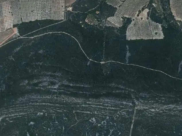
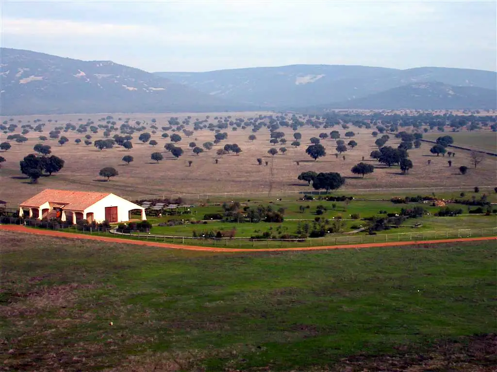
It is a circular route with a tail: a dirt track of about 650 m leaves you at the path, which climbs the shady slope to the summit, follows the ridge and comes down by another path to the same track.
Route profileFrom 669 to 797 m above sea level. Move your finger or the mouse over it
650 m700 m750 m800 m
0 km2
Maps: satellite and topographic maps from the Instituto Geográfico Nacional. Kilometres measured along the track (3.5 km); the park gives 3.8 km. Approximate heights (Copernicus model of 90 m).Download the track (GPX)
In much of the park your phone has no data. Save the route before you set off and you will have all of it, with photos, map and profile. Once in the park, open cabaneros.org in this same browser: if there is no signal, the site takes you to your saved routes. GPS works without signal: on the map, “Where am I” shows your position.
It takes a few megabytes and deletes itself after 60 days.
On iPhone, Safari deletes saved data if you go more than a week without visiting the site, so save it a few days before you go.
Practical information
AccessSelf-guided
Duration1 h 30 min (3 h 30 min from the village)
Distance3.8 km, circular
Ascent150 m
DifficultyMedium–low
Booking
Not needed.
Start and parking
Car park on the outskirts of Horcajo de los Montes: a track on the left at km 54 of the CM-4106, next to a football pitch, 1 km from the village towards Alcoba.
Leaflet
«Un bosque mediterráneo», for doing it as a self-guided walk, at the information points and on the park's website.
Bear in mind
Suitable footwear: there are some stony stretches.
For seeing wildlife, the first and last hours of daylight are the best, according to the park. Official data: park information (MITECO, 2025).
Or, failing that, trainers. There are stony stretches, like the pedriza, and muddy areas where you can slip1.
A bottle of water
The route is short, but the climb is continuous and there are no springs on the way.
In summer, cap and sun cream
If you go in summer, do not forget sunglasses, a cap and sun cream. The ridge, especially the sunny side, has little shade.
Start early in winter
If you climb early in the cold months, you can see seas of fog from the summit. And the other way round: try not to be caught by nightfall inside the wood.
Binoculars
To watch wildlife: Cinereous and Griffon Vultures, Golden Eagle, nightjars, red deer and roe deer.
Stage by stage
8 stages, from car park to car park. The plan follows your reading: the light dot is where you are. The stop numbers are the wooden posts of the park leaflet.
1km 0 – 0.6Stops 1 and 2
The dirt track
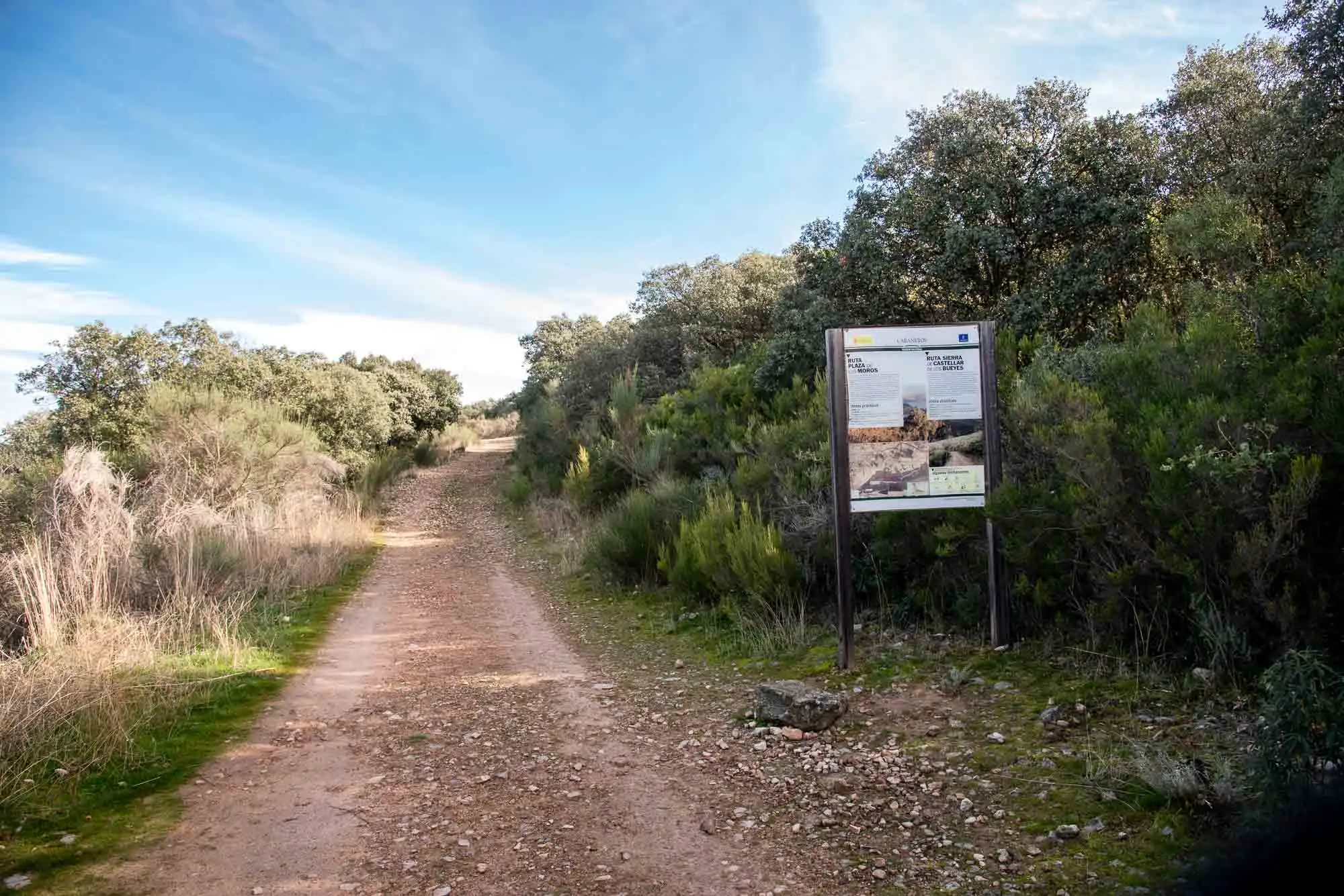
When we have parked the car, we will see a panel with the route, which is marked with posts. We continue along the dirt track for about 650 metres, as we start to climb the north face of Pico Umbría.
Start of the Plaza de los Moros route and of the Castellar de los Bueyes one.
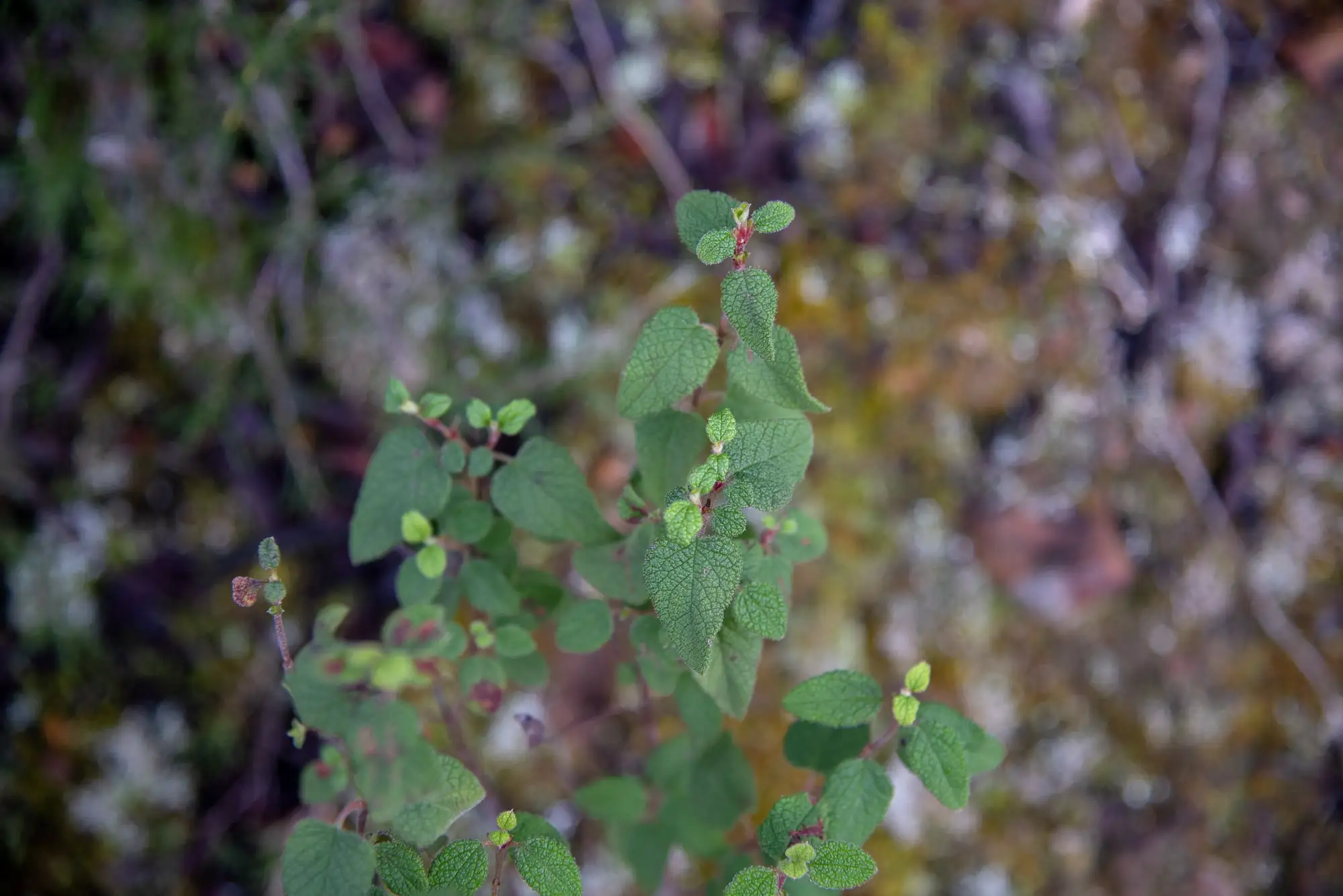
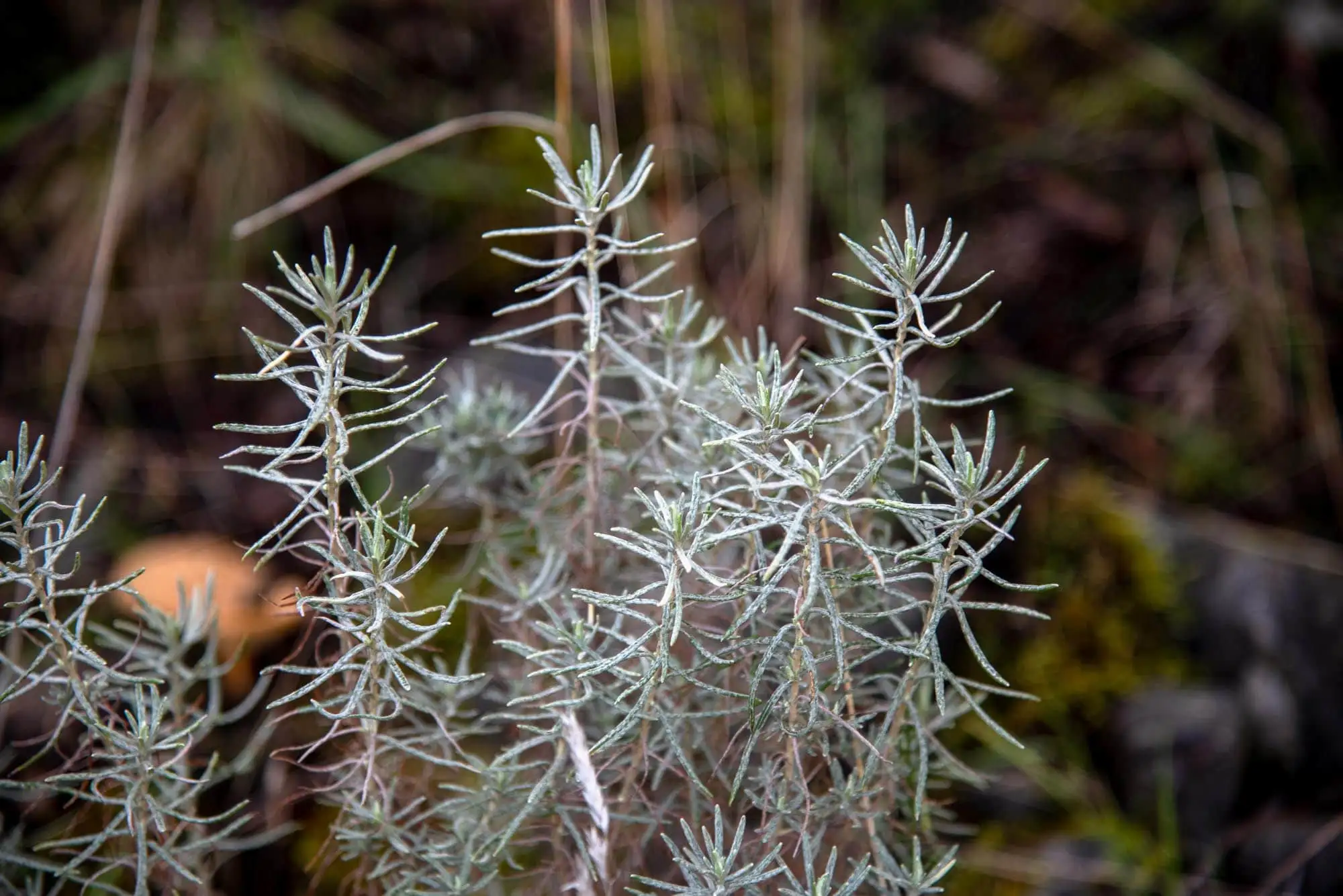
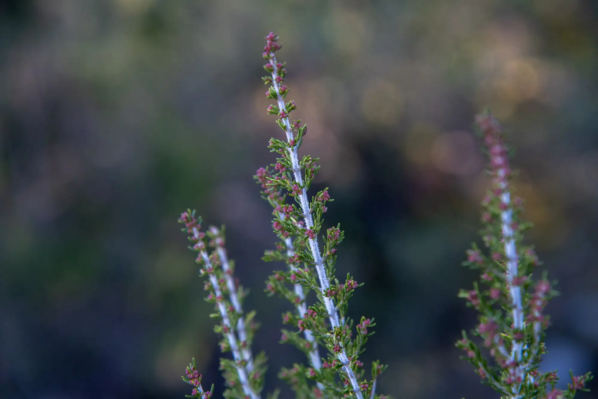
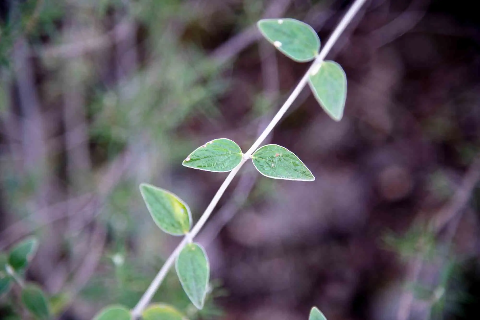
In this stretch we see species typical of Mediterranean scrub: several kinds of rockrose, heathers, rosemary, mock privet… They are pioneer species, the first to grow when the woodland disappears because of farming or a fire, and they prepare the ground for trees to grow afterwards2.
1Open groundAfter felling or a fire.
2Aromatic bushesRockrose, heather, rosemary and mock privet. This is what you see on both sides of the track.
3Dense scrubThe bushes close up and give shade and soil.
4Mediterranean woodlandTrees grow beneath the scrub.
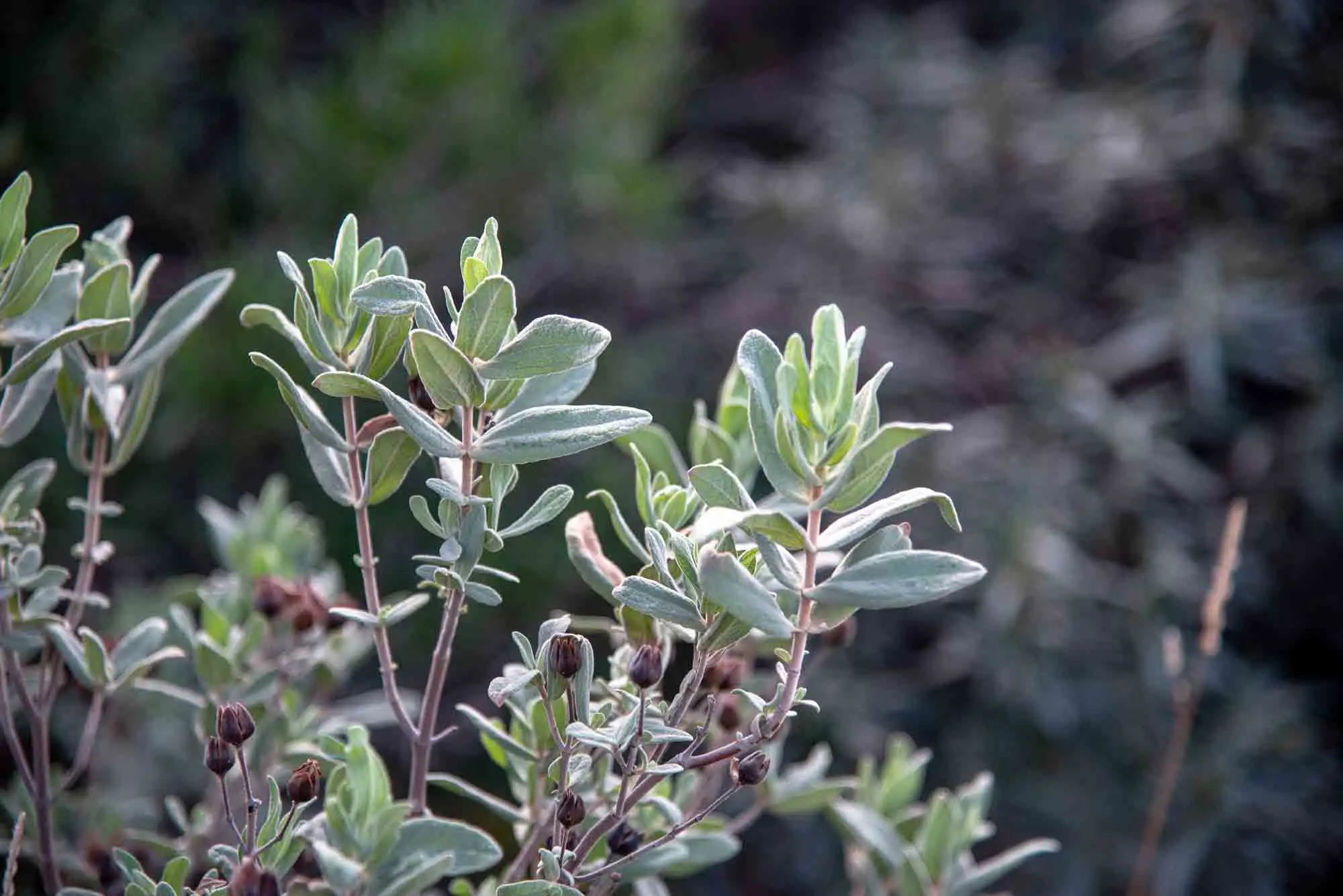
In the scrub you can tell apart up to six species of rockroses (Cistus ladanifer, C. crispus, C. populifolius, C. salviifolius, C. albidus and Halimium umbellatum), with broom thickets (Cytisus striatus and C. scoparius) and other species that red deer like very much, such as mock privet (Phillyrea angustifolia) and honeysuckle (Lonicera implexa).
Sage-leaved rockrose (Cistus salviifolius).
White rockrose (Halimium umbellatum).
2 photos
We also find the first holm oaks (Quercus rotundifolia), the most representative tree of the Mediterranean woodland. It can reach 20 m in height, although it is often stunted, and then it is called a «carrasca». Its acorns ripen between October and December and feed many animals3.
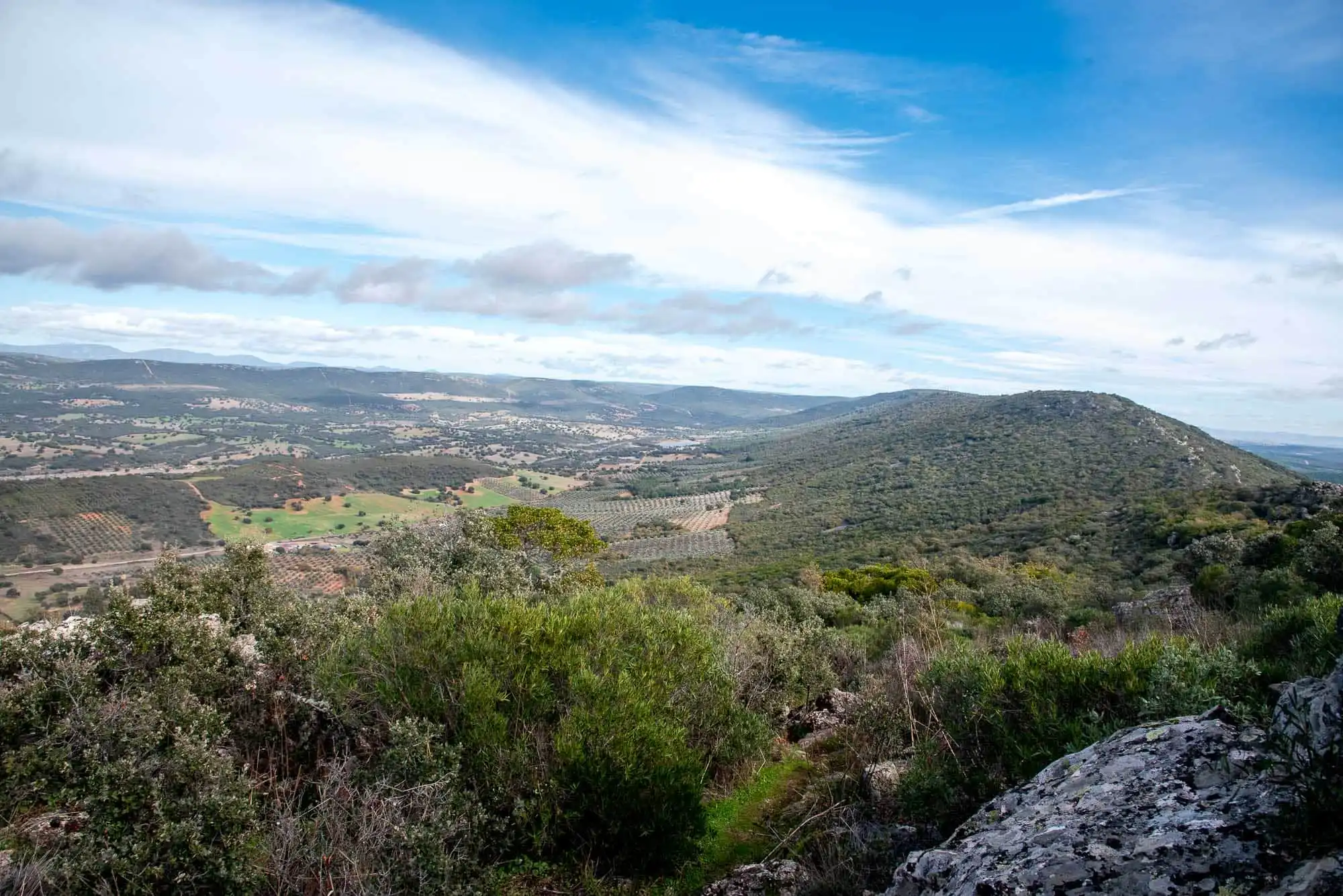
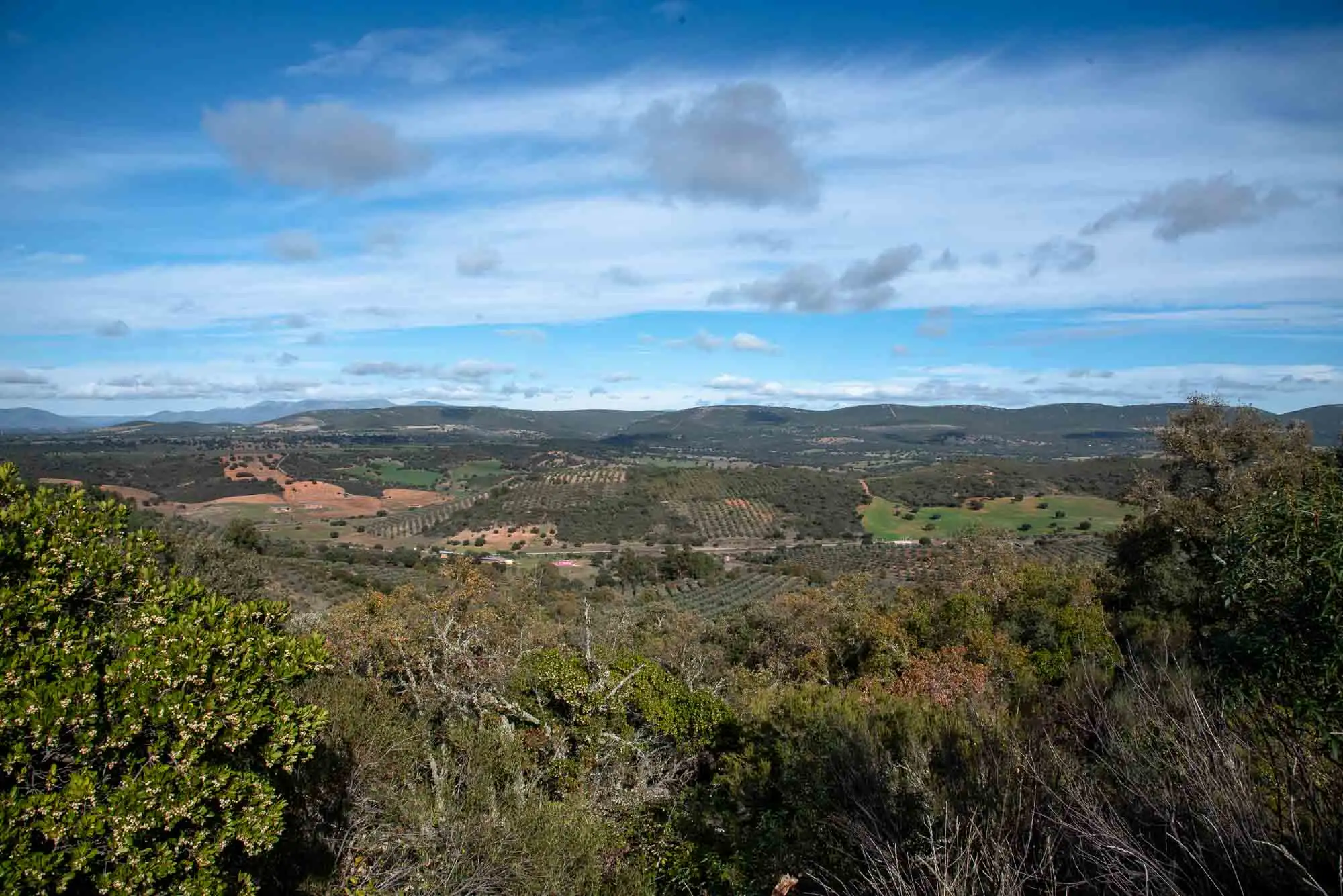
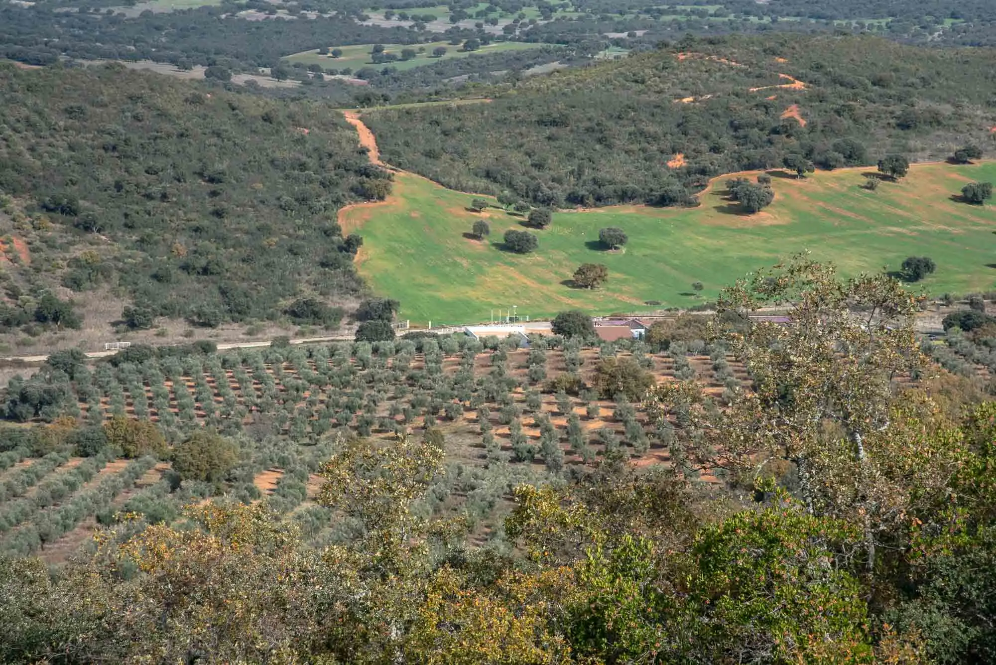
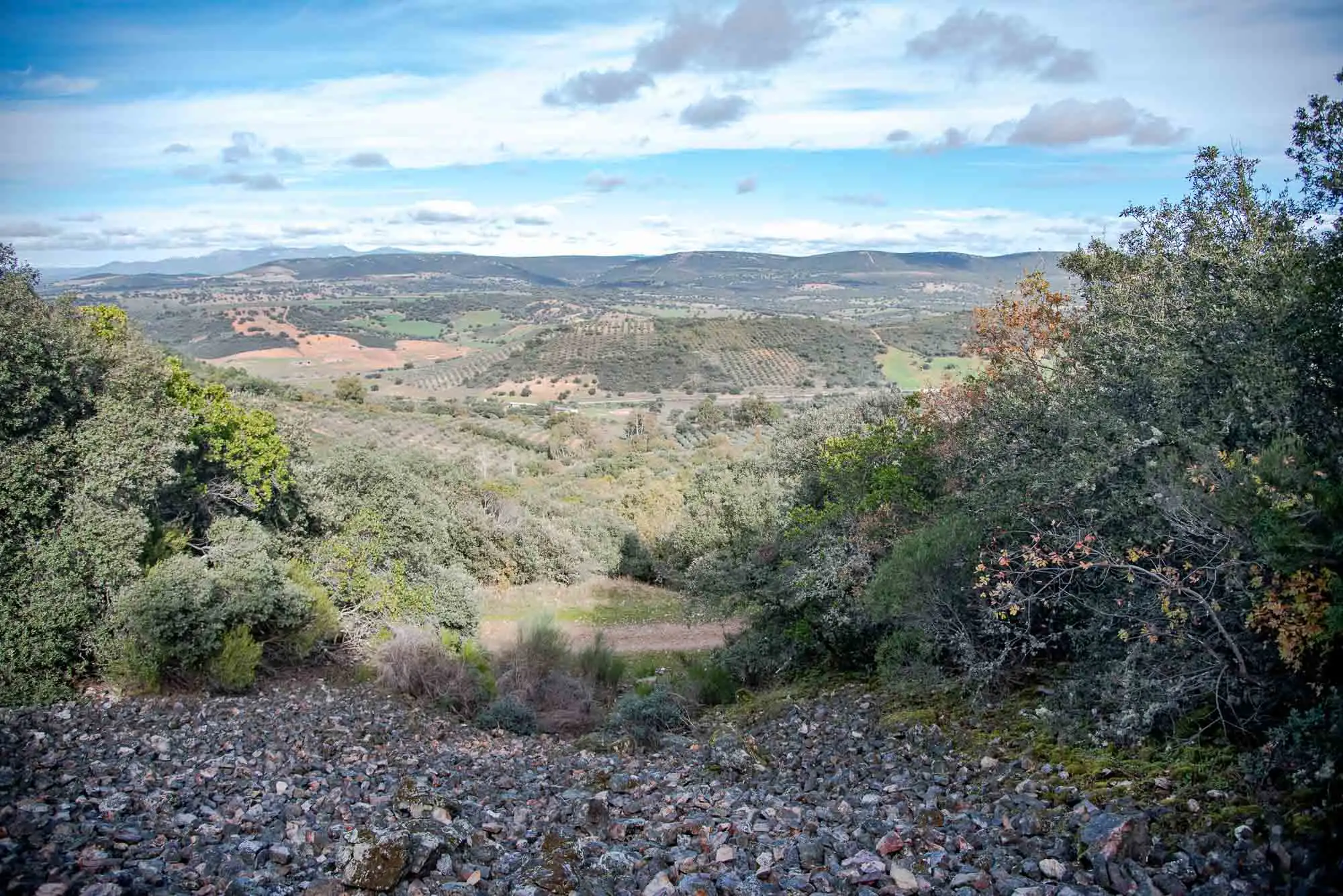
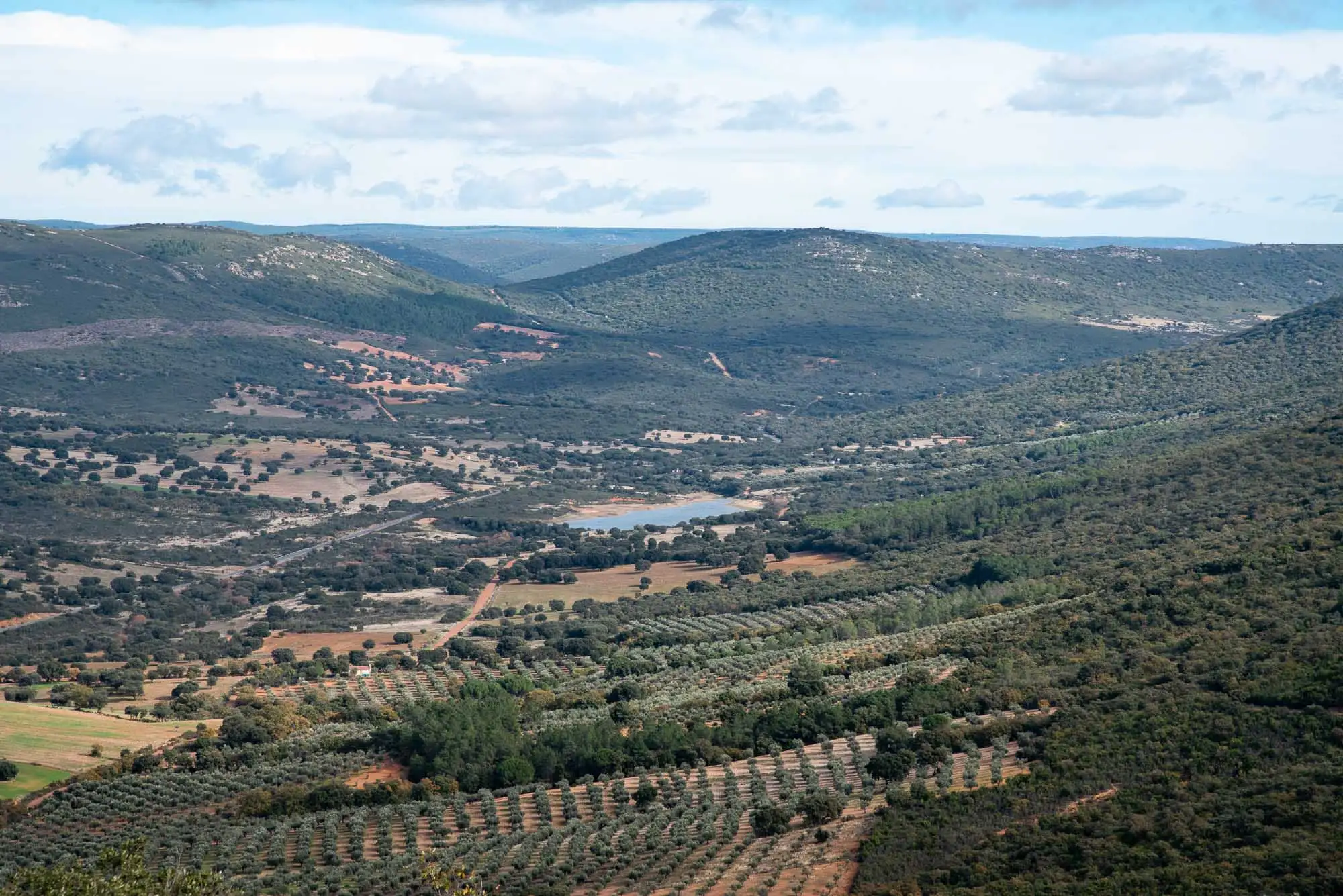
A few metres before reaching the path a pretty panorama of the Montes de Toledo opens up, with the Horcajo visitor centre below, just behind an olive grove.
The Montes de Toledo, from the track.
Below, the olive grove.
2 photos
2km 0.6 – 1.1Stop 3
The path on the shady slope
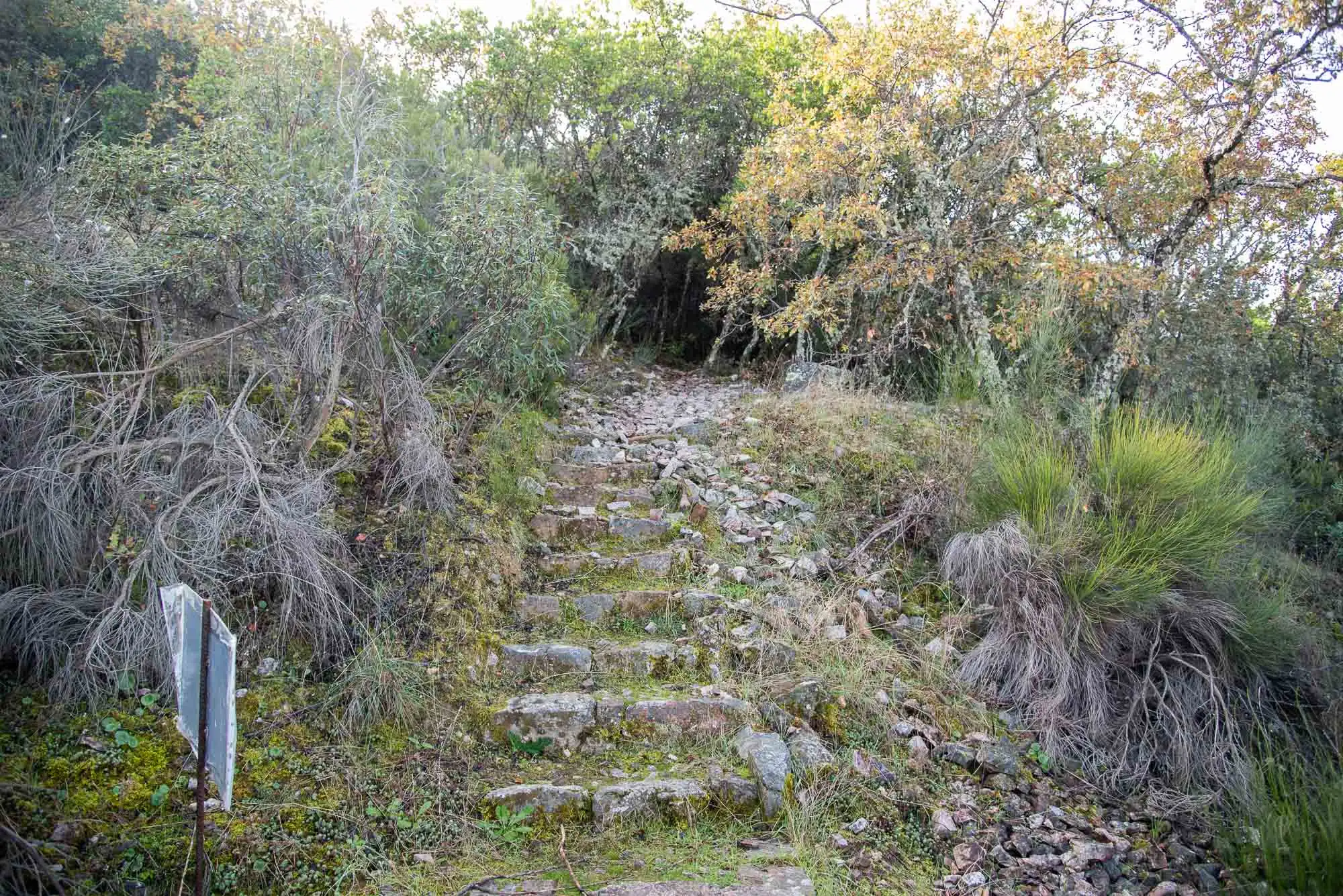
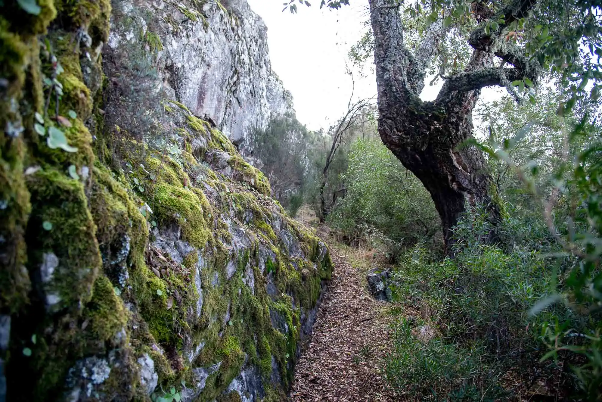
On the right-hand side, a post shows where the path continues. We climb some steps and enter the wood.
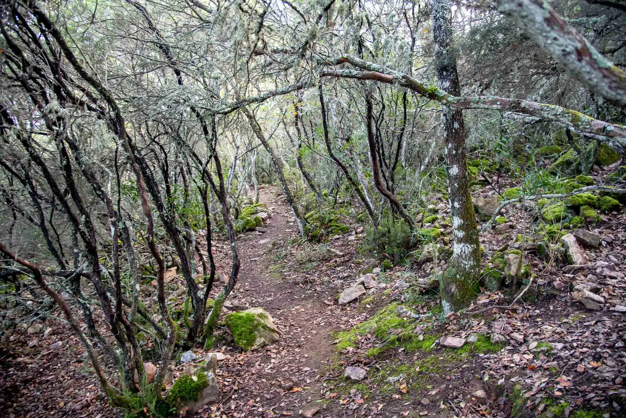
The steepest slopes, like this one, make work harder for people, and that is why the understorey is better preserved. It is a very leafy wood: the density of the foliage retains moisture and allows species adapted to these environments to live, such as climbers. The easiest to see is the honeysuckle (Lonicera implexa)4.
The slope faces north and gentle winds reach it, so humidity is relatively high. In addition, there are few red deer and wild boar to eat the plants. For both reasons, the vegetation is very well preserved: there are more than 40 woody species, counting trees, shrubs and bushes.
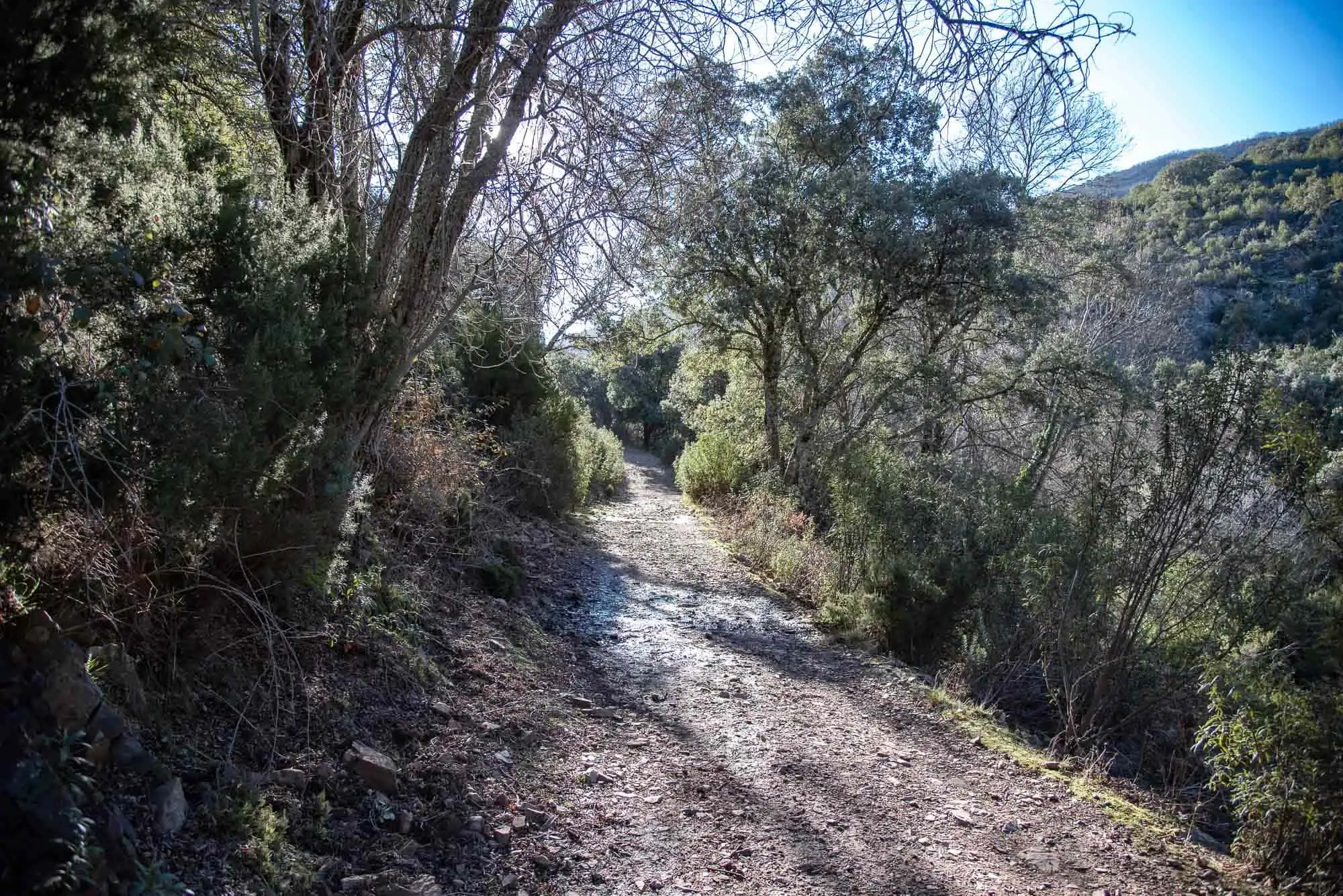
The steps at the start of the path.
The path, inside the holm oak wood.
2 photos
3km 1.1 – 1.3
The pedriza
We leave the wood for a moment to cross a pedriza, which opens up the views again. Pedrizas, or scree slopes, were formed in the glaciations, when water got into the cracks of the quartzite, froze and split it. This process is called frost shattering, and the fragments piled up down the slope.
1The iceIn the glaciations, water got into the cracks of the quartzite and, when it froze, split it.
2The stones rollThe pieces fall and pile up down the slope: the scree.
3Water underneathWater keeps running beneath the stones. People used to find it by the sound to dig wells.
4No forestThe forest grows all around, but not on the pedriza: that is why it acts as a firebreak.
Frost shattering, in a cross-section of the slope. Not to scale.
If the forest has not colonised the pedriza, it is because water keeps running beneath the stones. In the past, the people of these hills could find it by the sound, and removed stones until they opened small wells. Pedrizas also act as natural firebreaks: between one stone and the next there is nothing to burn.
The pedriza of the Plaza de los Moros.
Water runs beneath the stones. You can hear it.
4km 1.3 – 1.7Stops 4 and 5
Strawberry trees and quartzite
We are getting closer to the summit and the holm oak still dominates this shady-slope wood, still immature. We walk under big strawberry trees (Arbutus unedo), tree heaths (Erica arborea) of more than 3 metres and laurustinus (Viburnum tinus), with mock privets and rockroses. They are the best resting places for large wildlife, because of the size of the scrub and the food their fruits provide5.
Grey-leaved rockrose (Cistus albidus).
Heather.
2 photos
This Mediterranean patch also has cork oaks and Portuguese oaks, the odd Montpellier maple (Acer monspessulanum) and other climbers, such as black bryony (Dioscorea communis), as well as honeysuckle.
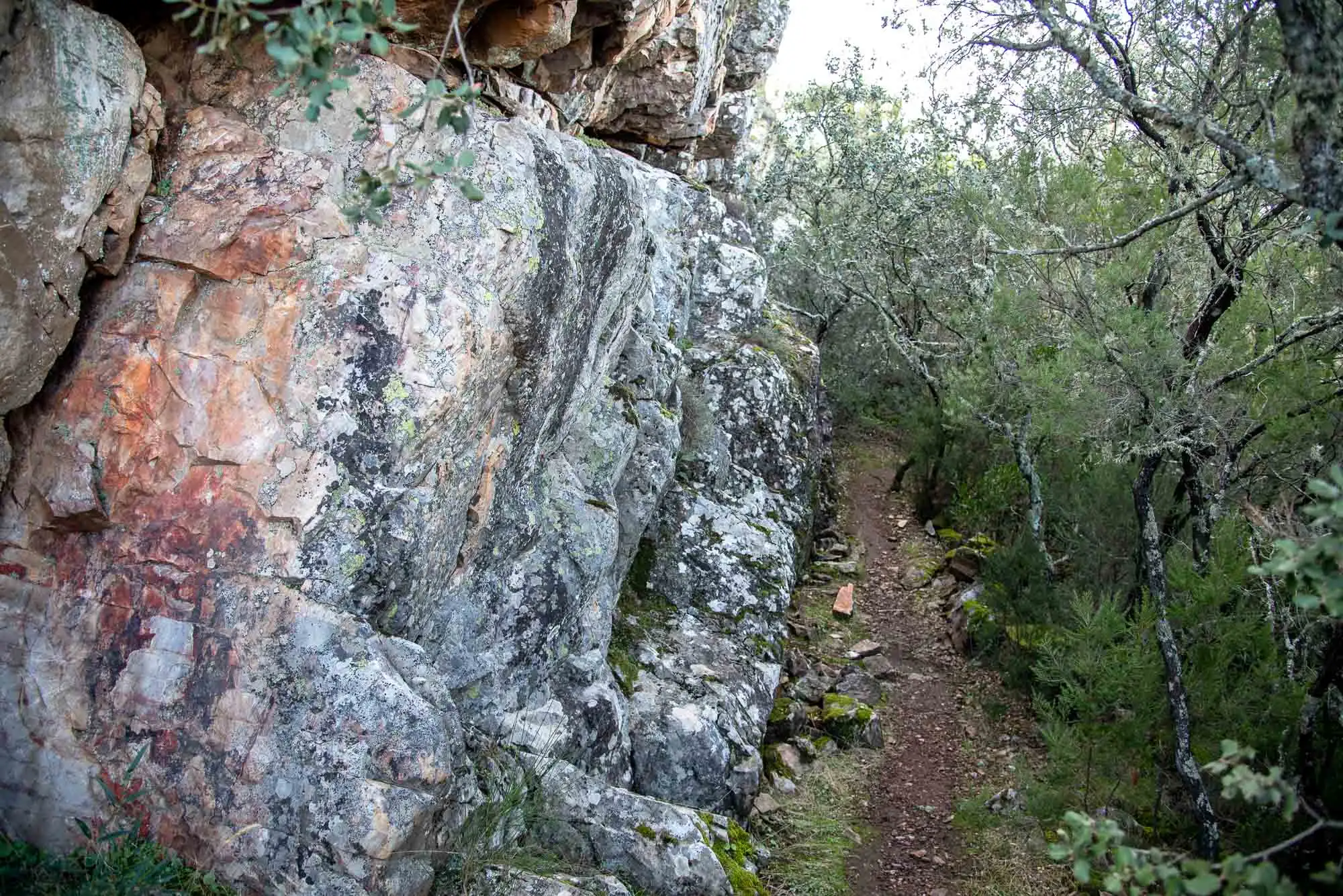
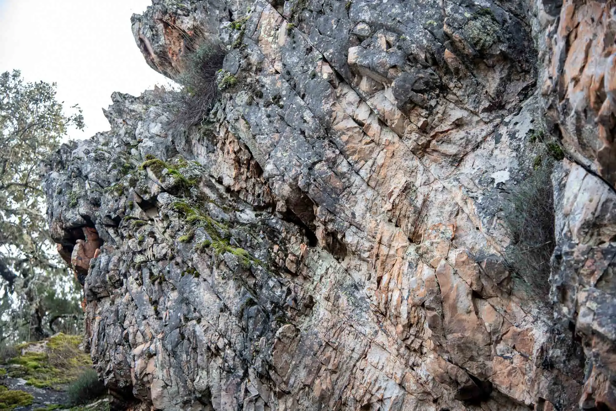
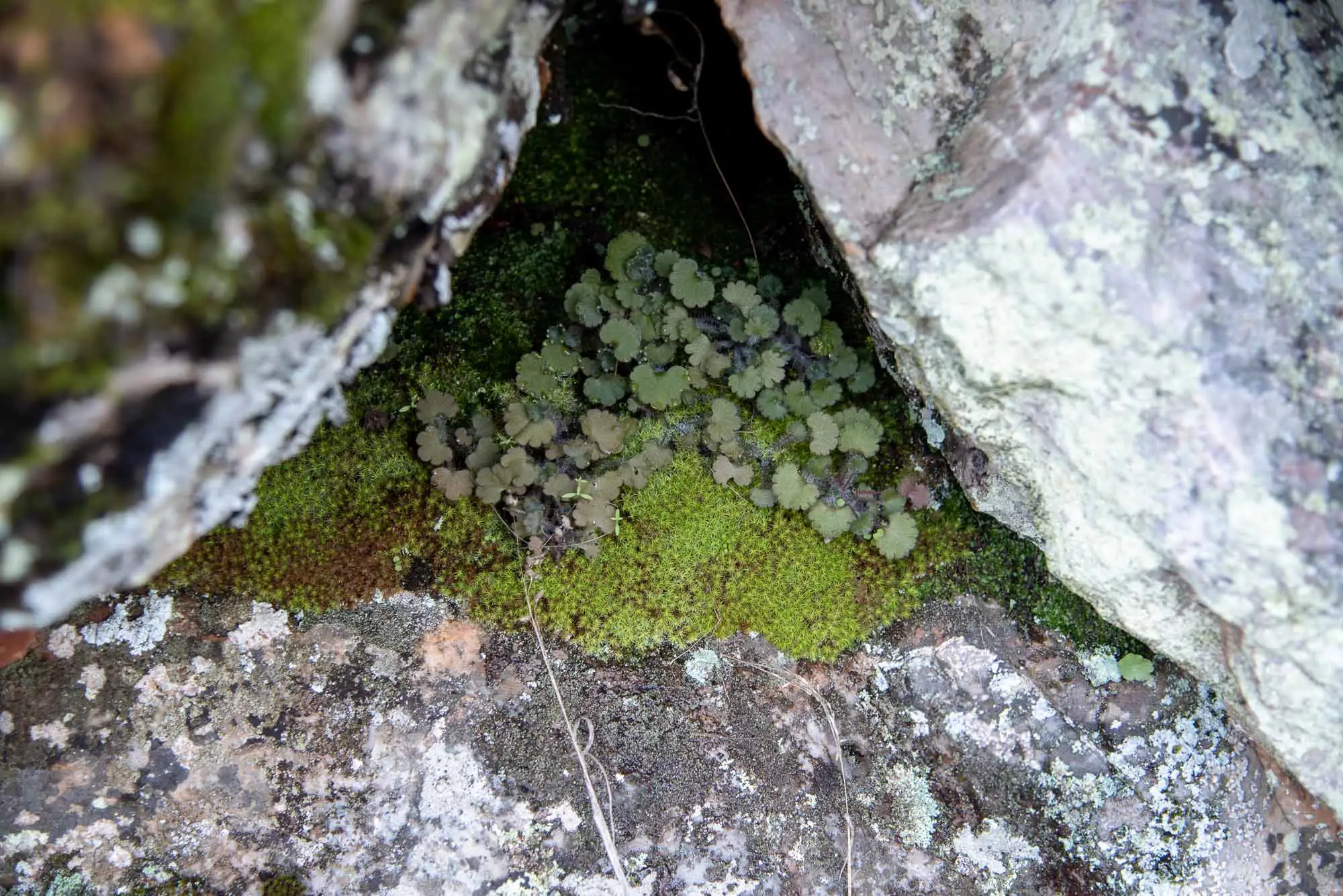
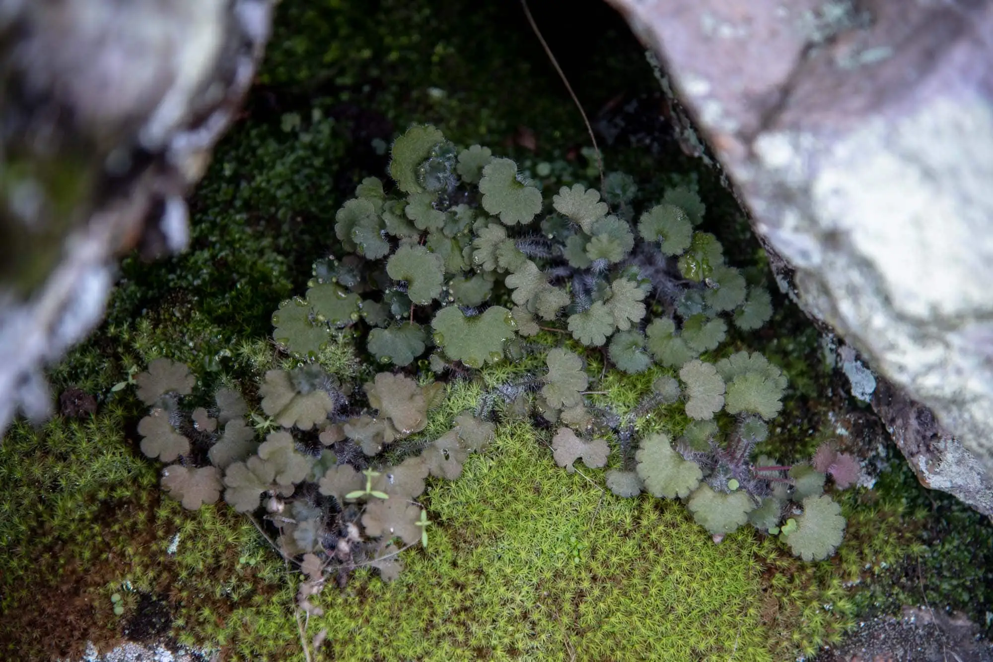
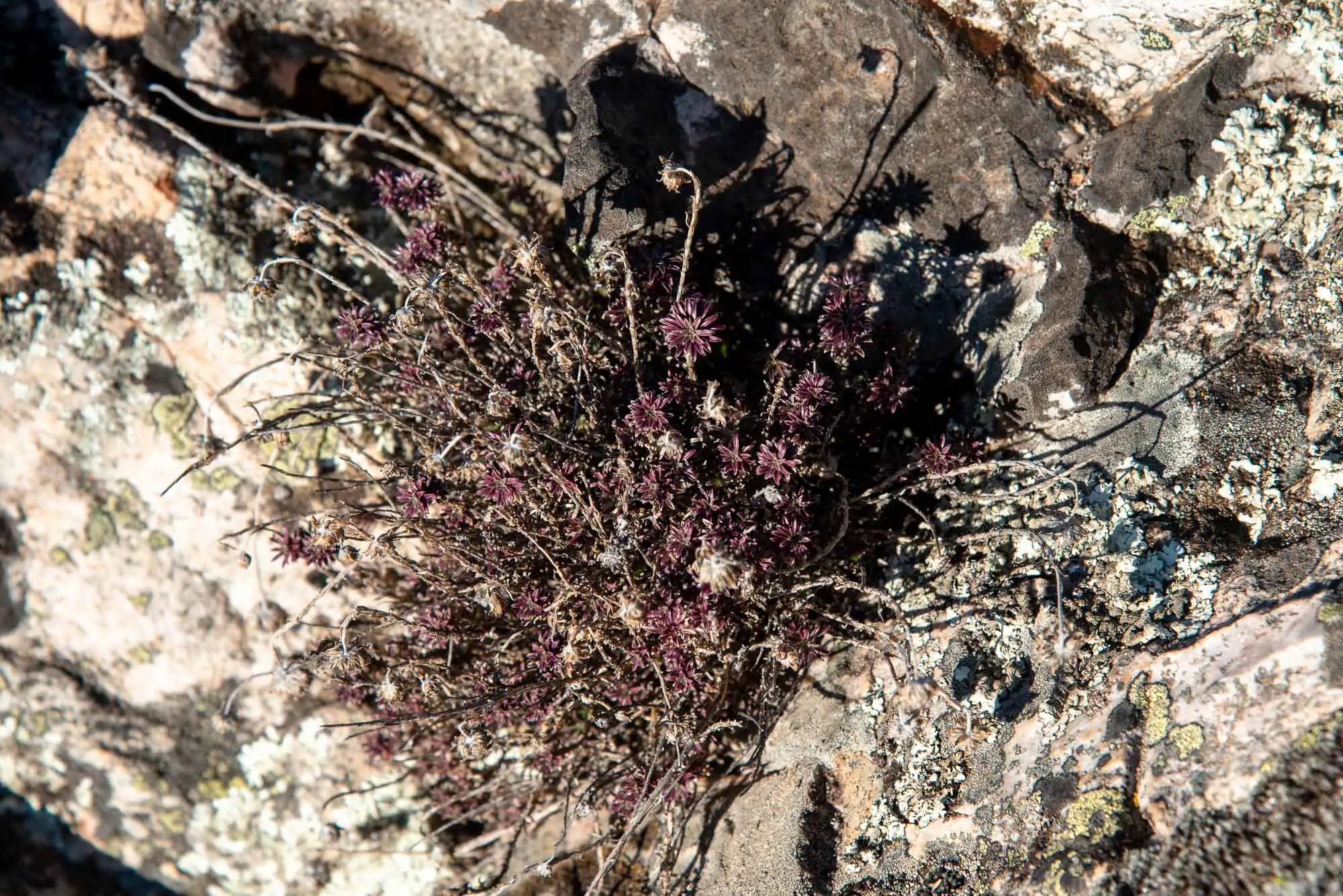
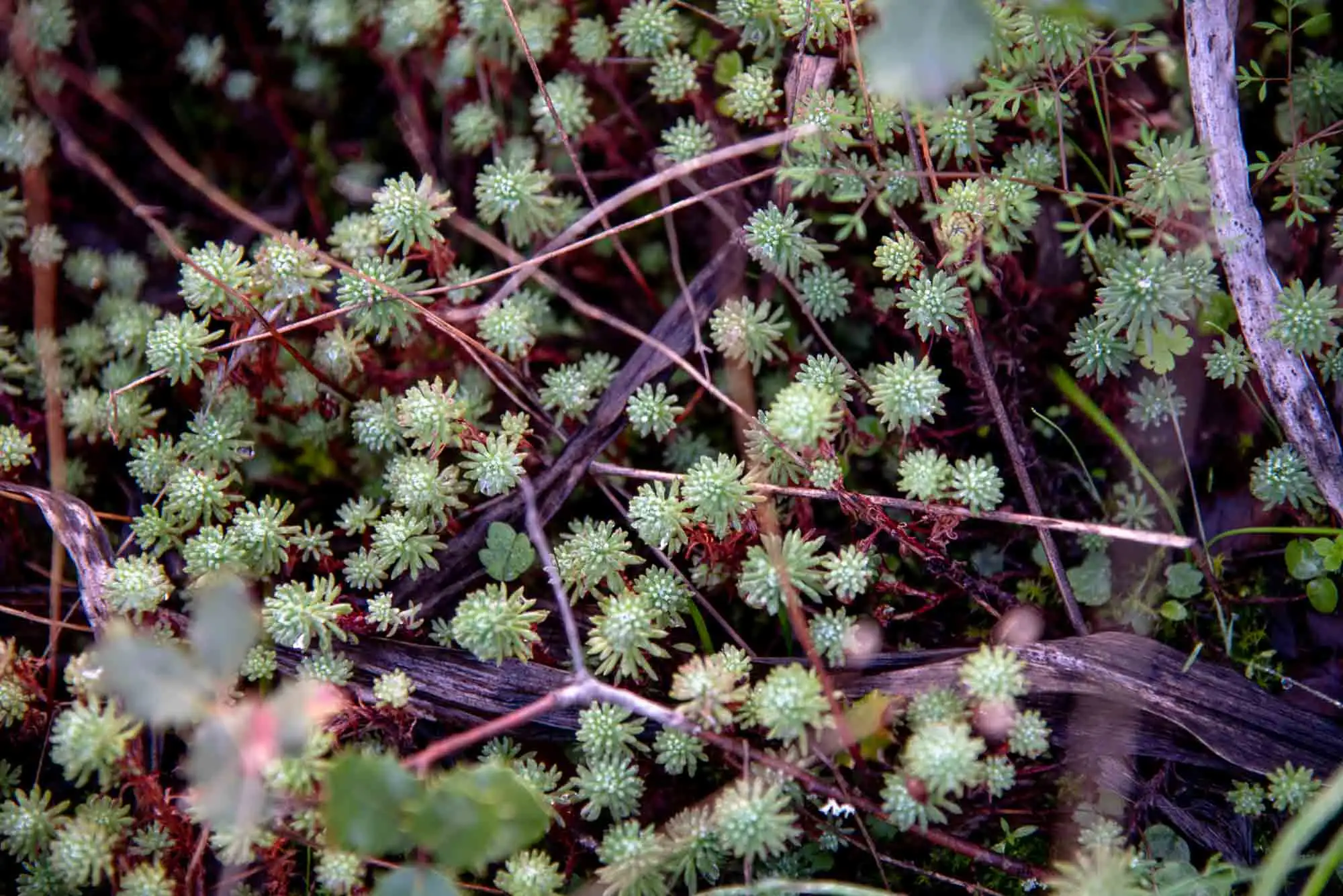
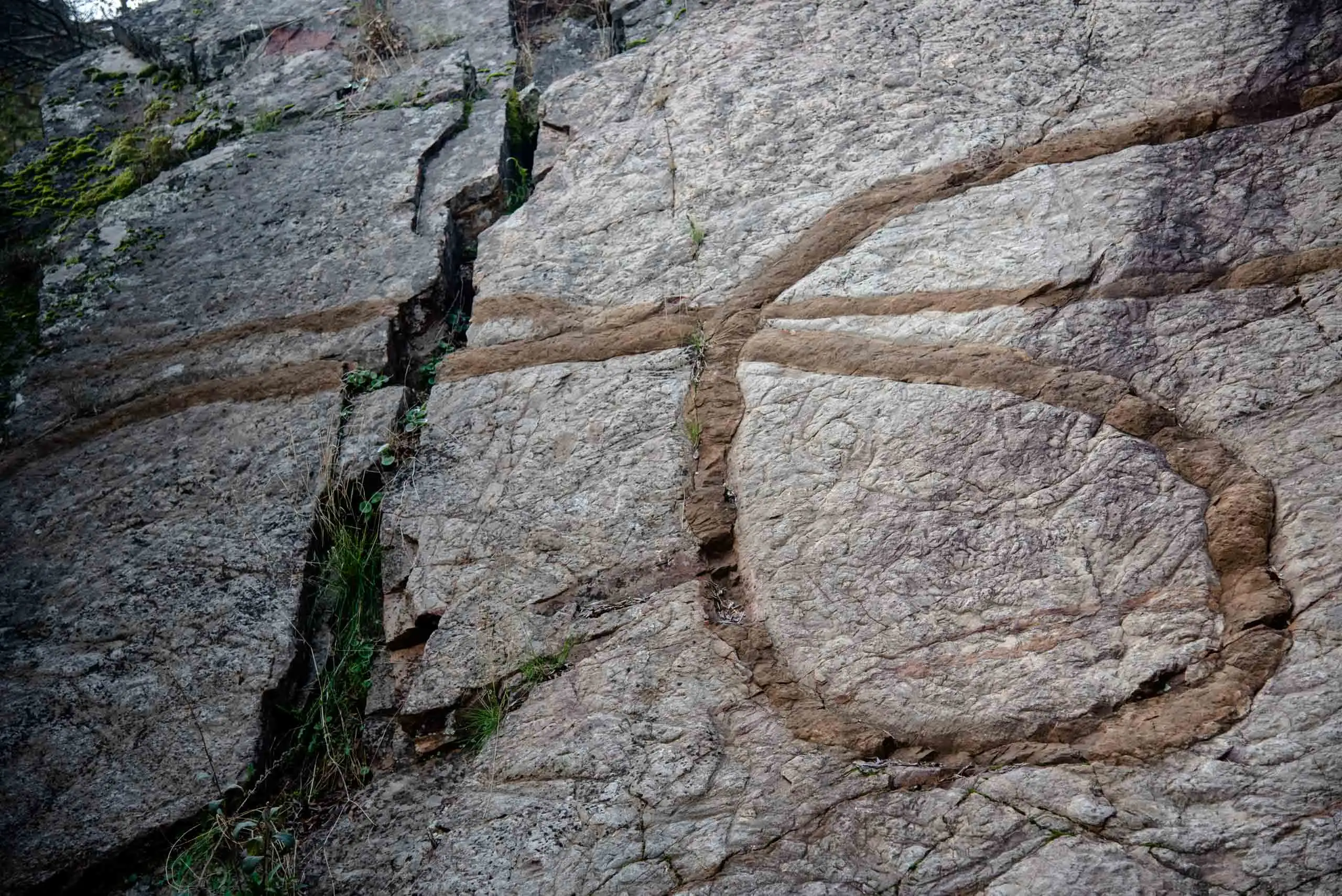
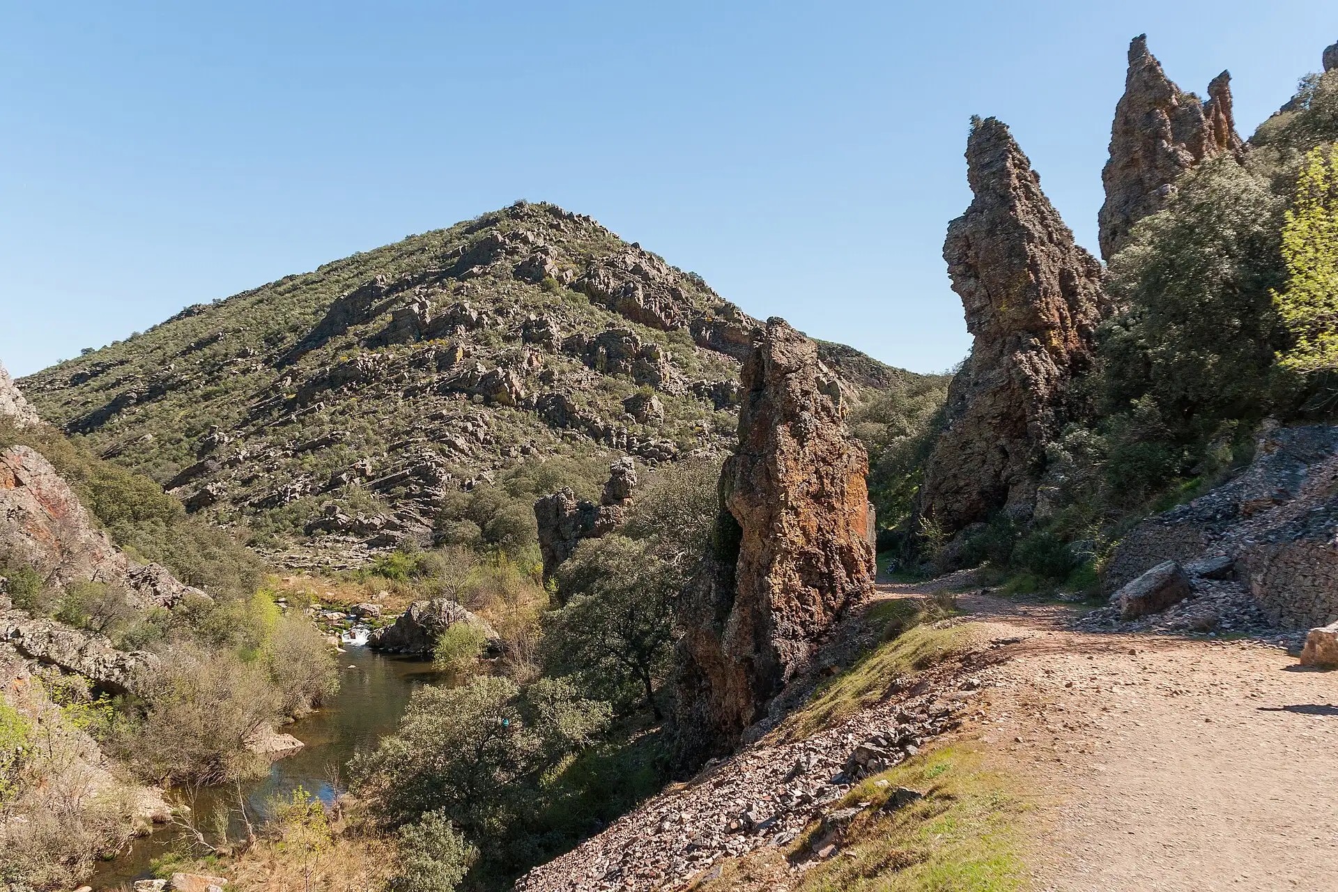
On the last stretch to the summit the Armorican Quartzite appears, a rock very rich in quartz and very resistant to erosion. Its walls have damp, shady corners where a rock-plant community lives, adapted to growing without soil and almost without nutrients6: foxgloves (Digitalis spp.), pinks (Dianthus lusitanus), navelwort (Umbilicus rupestris), white stonecrop (Sedum album), Jasione crispa and many ferns (Asplenium ceterach, Asplenium trichomanes, Cheilanthes hispanica).
Walls of Armorican Quartzite beside the path.
The quartzite, up close.
Navelwort (Umbilicus rupestris) in a crack.
Moss and ferns on the wall.
A damp corner of the quartzite.
Rock plants: no soil, no complaints.
Sedum.
7 photos
5km 1.7 – 1.8Stop 6
Pico Umbría or Plaza de los Moros
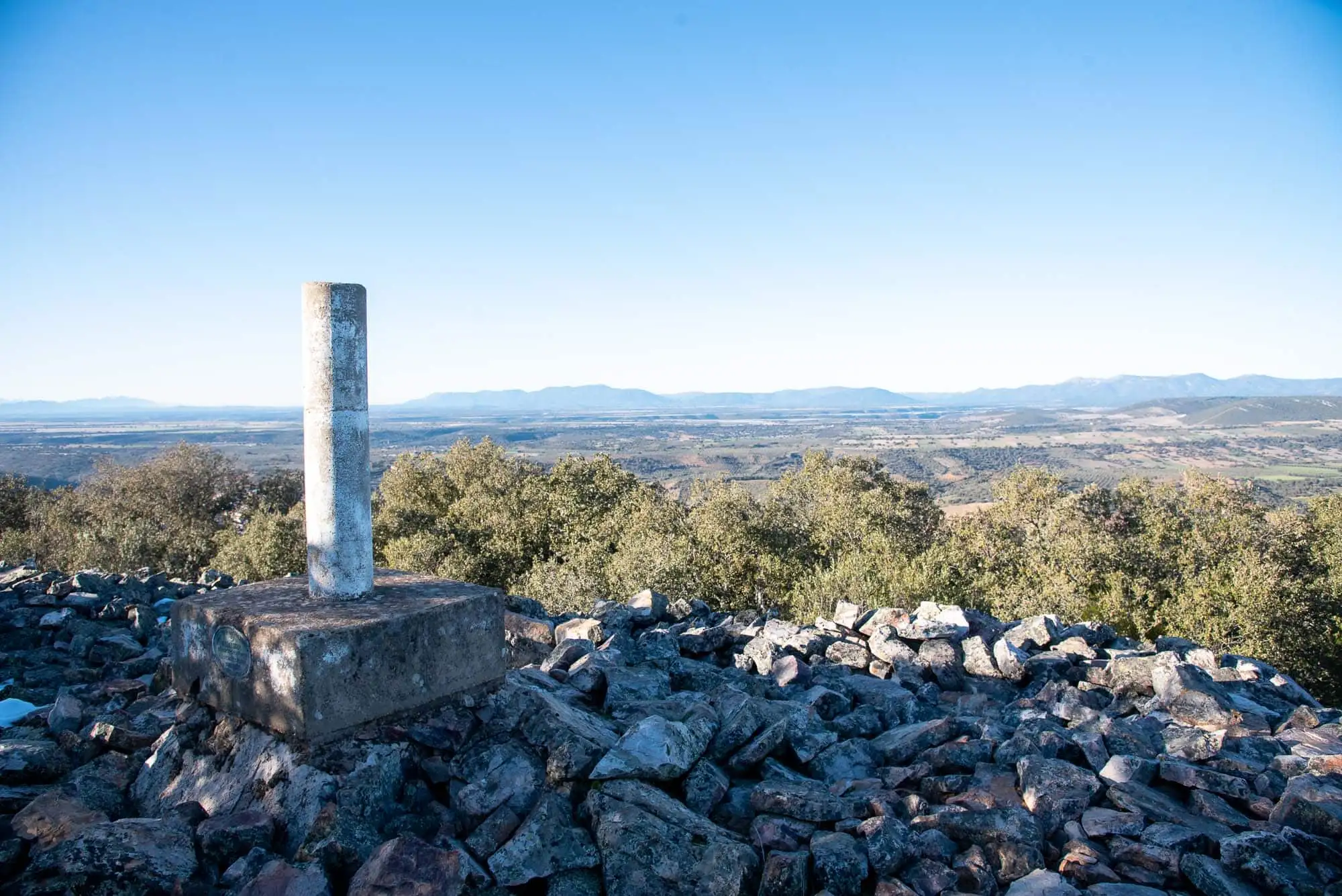
After going round some quartzite layers we reach the highest point, Pico Umbría, at 817 metres7. In the village it is called the Plaza de los Moros, although the piled stones on the summit are a good deal older than any Moor: they are the remains of a rectangular Bronze Age construction. At that time small fortified settlements were built beside the wells in the valleys and defensive towers on the heights, and this may have been one of them8.
The trig point, on the Bronze Age stones.
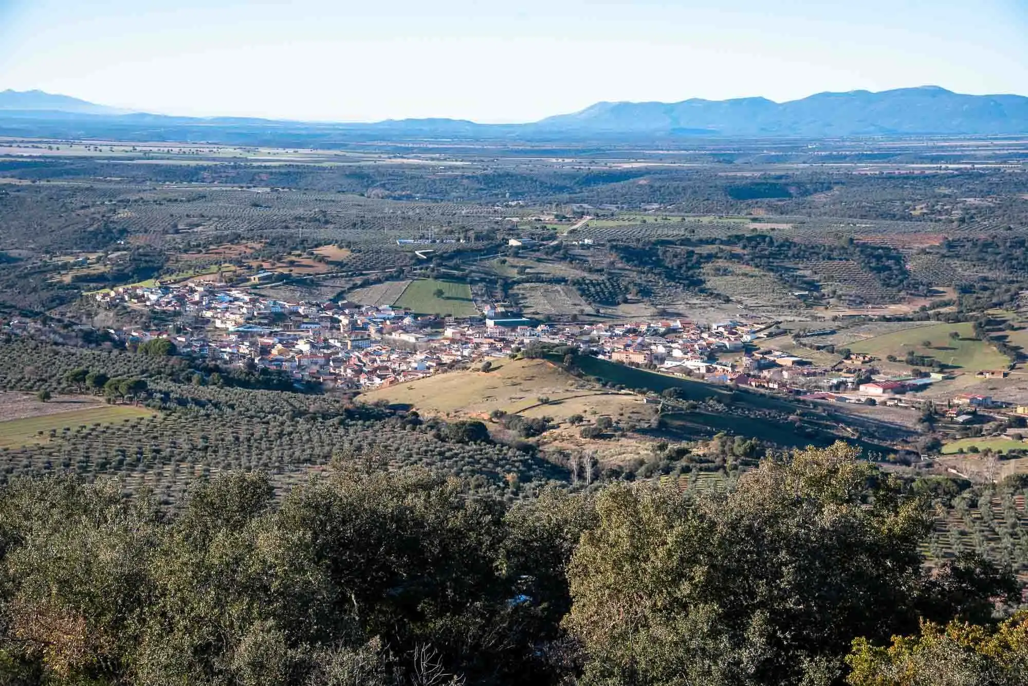
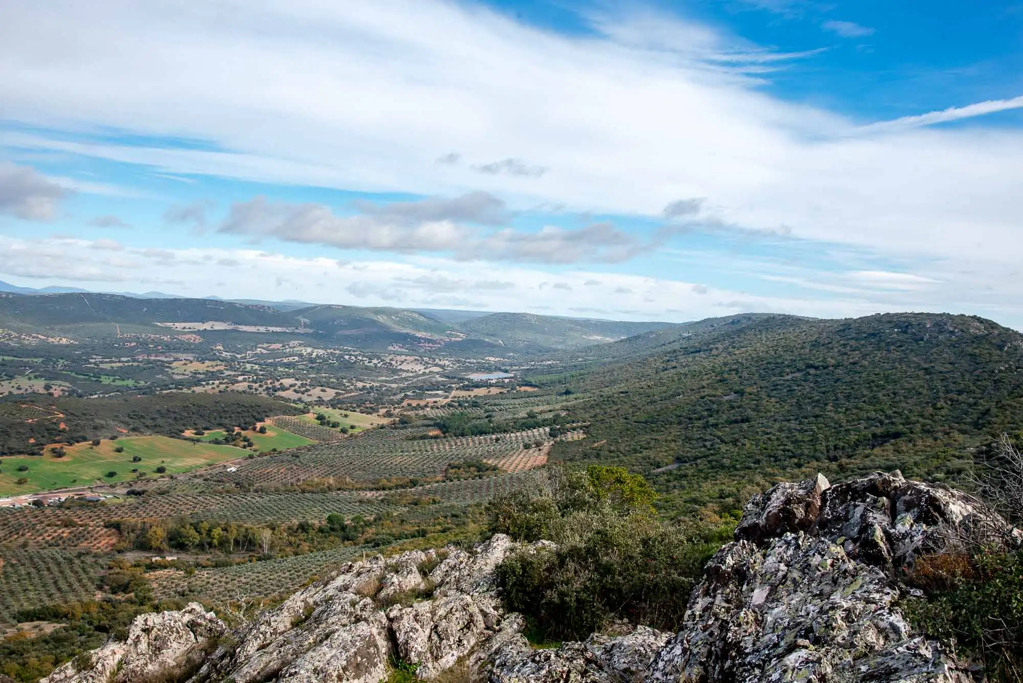
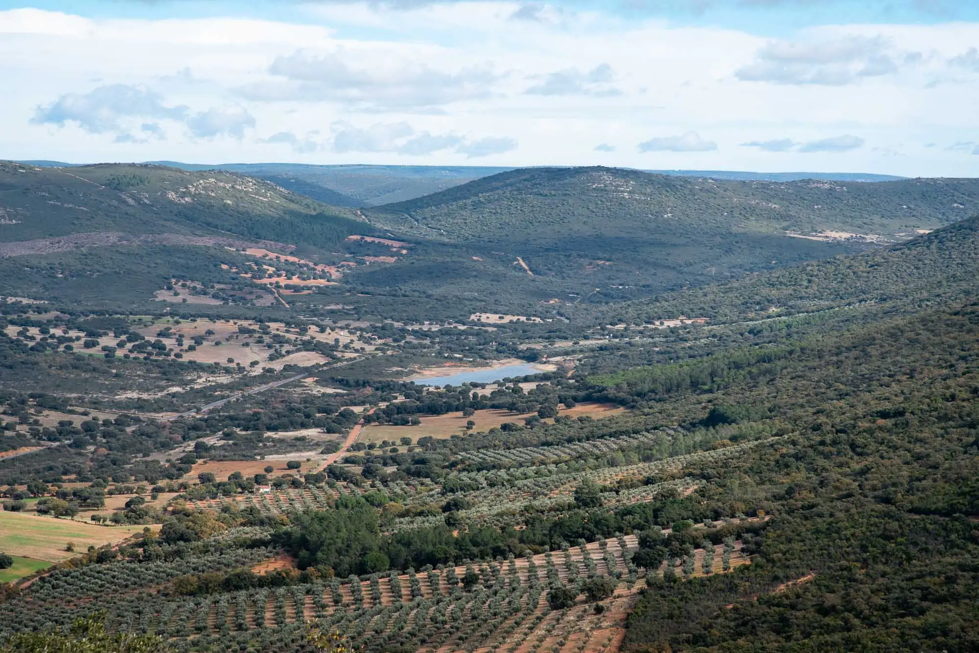
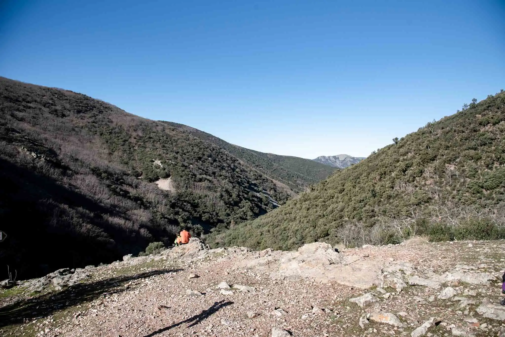
From above you see a landscape of thousands of hectares, from the Sierra de las Villuercas (Guadalupe, Cáceres) to the Peñafiel peak (Ventas con Peña Aguilera, Toledo), with the Rocigalgo massif (1,449 m) opposite and Pico Vicente (1,430 m). Below lie Horcajo and its reservoir.
Horcajo de los Montes from the summit.
Panorama from the summit.
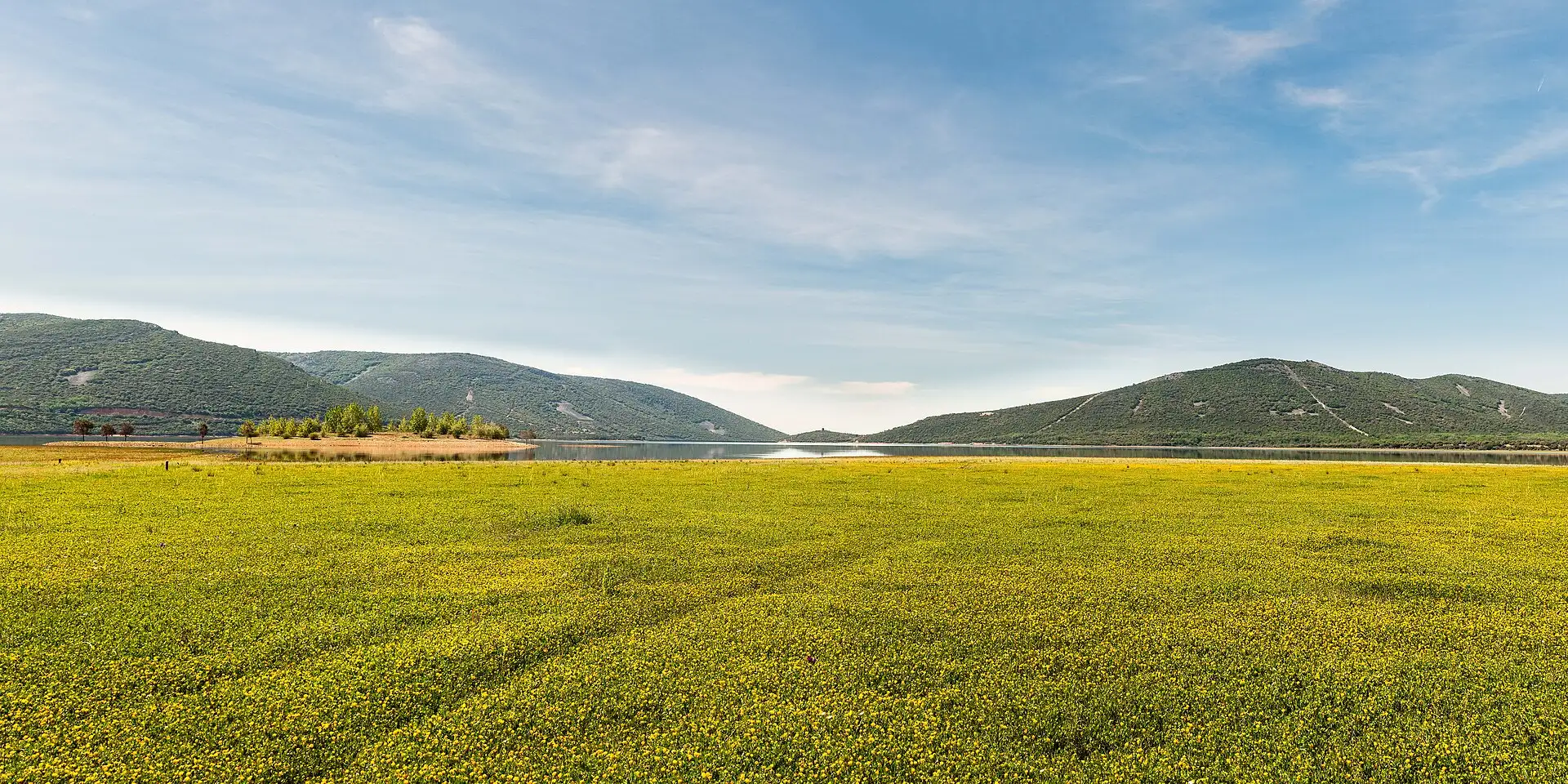
The Horcajo reservoir, in the distance.
3 photos
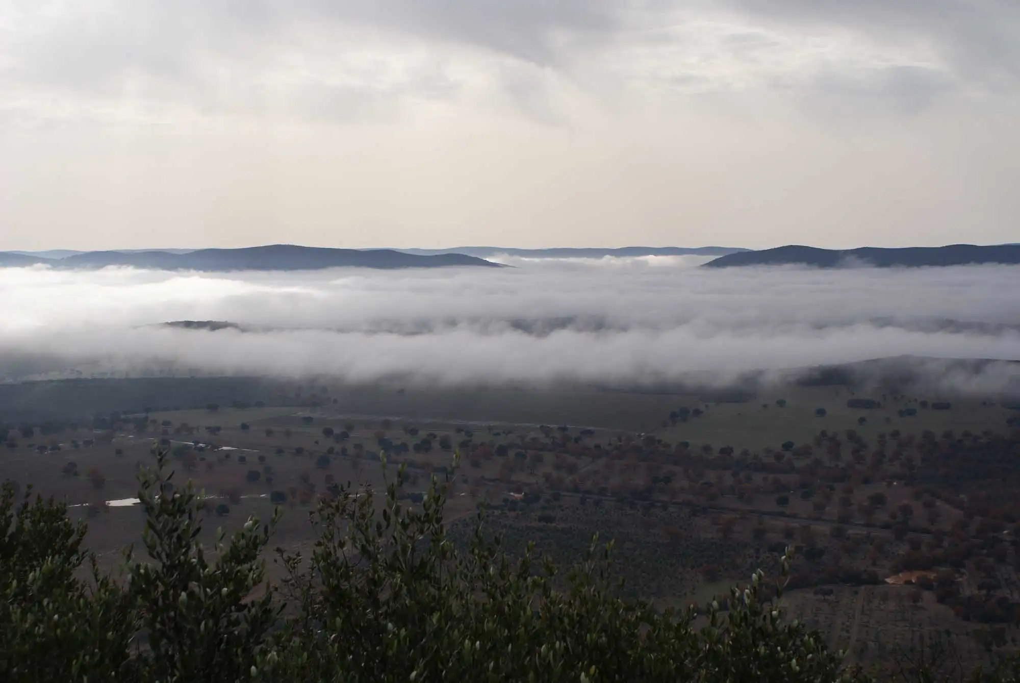
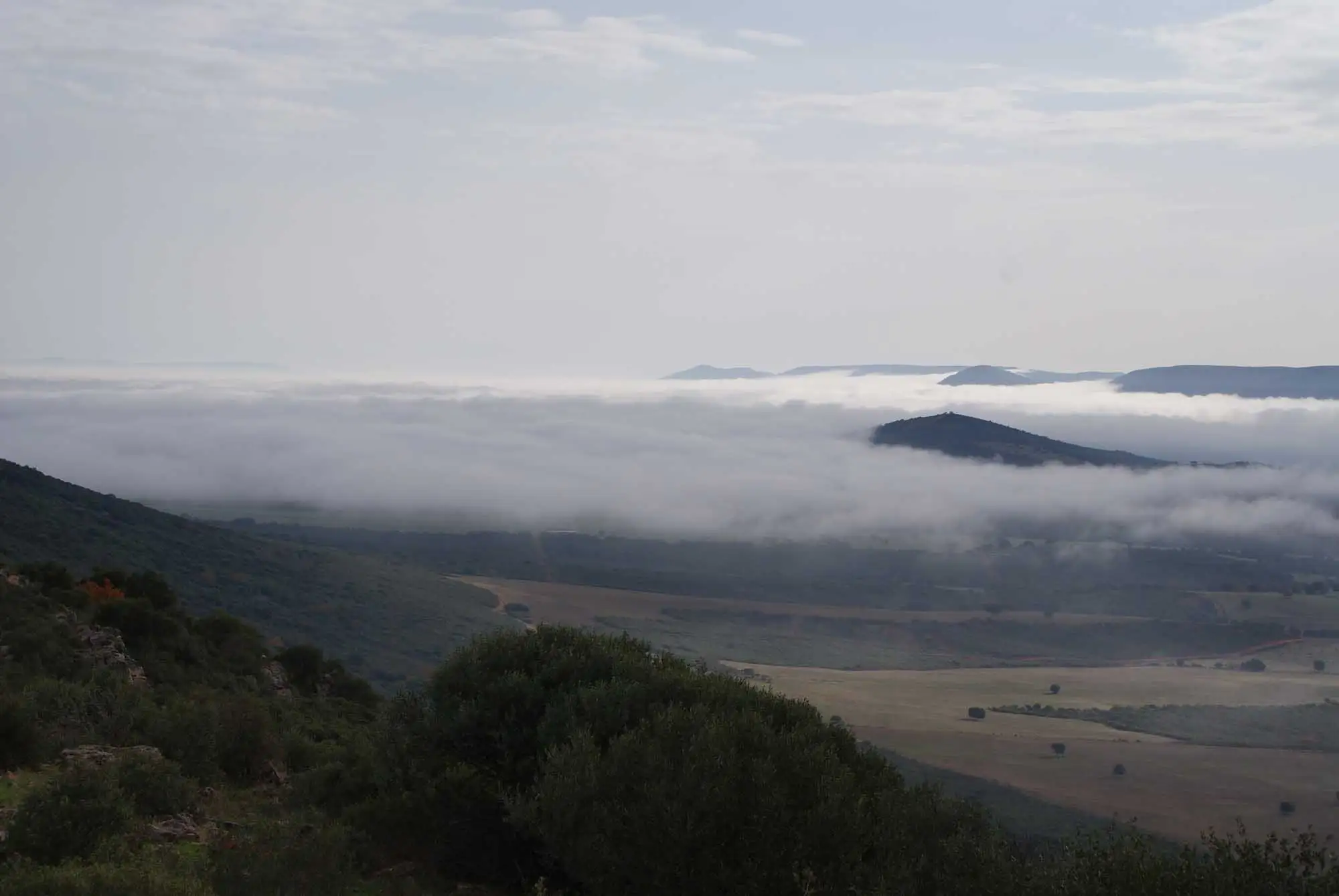
If we start early in the cold months, we can see seas of fog.
Sea of fog at a winter dawn.
The hills peep out above the fog.
2 photos
A Bronze Age tower with a trig point on top.
6km 1.8 – 2.4Stop 7
The ridge: shady and sunny slopes
We continue along the ridge. The ancient presence of people on the heights, through settlements or trades such as charcoal burning, left its mark in some herbaceous communities with very pretty flowers, such as the lupin (Lupinus hispanicus) or Leucanthemopsis flaveola.
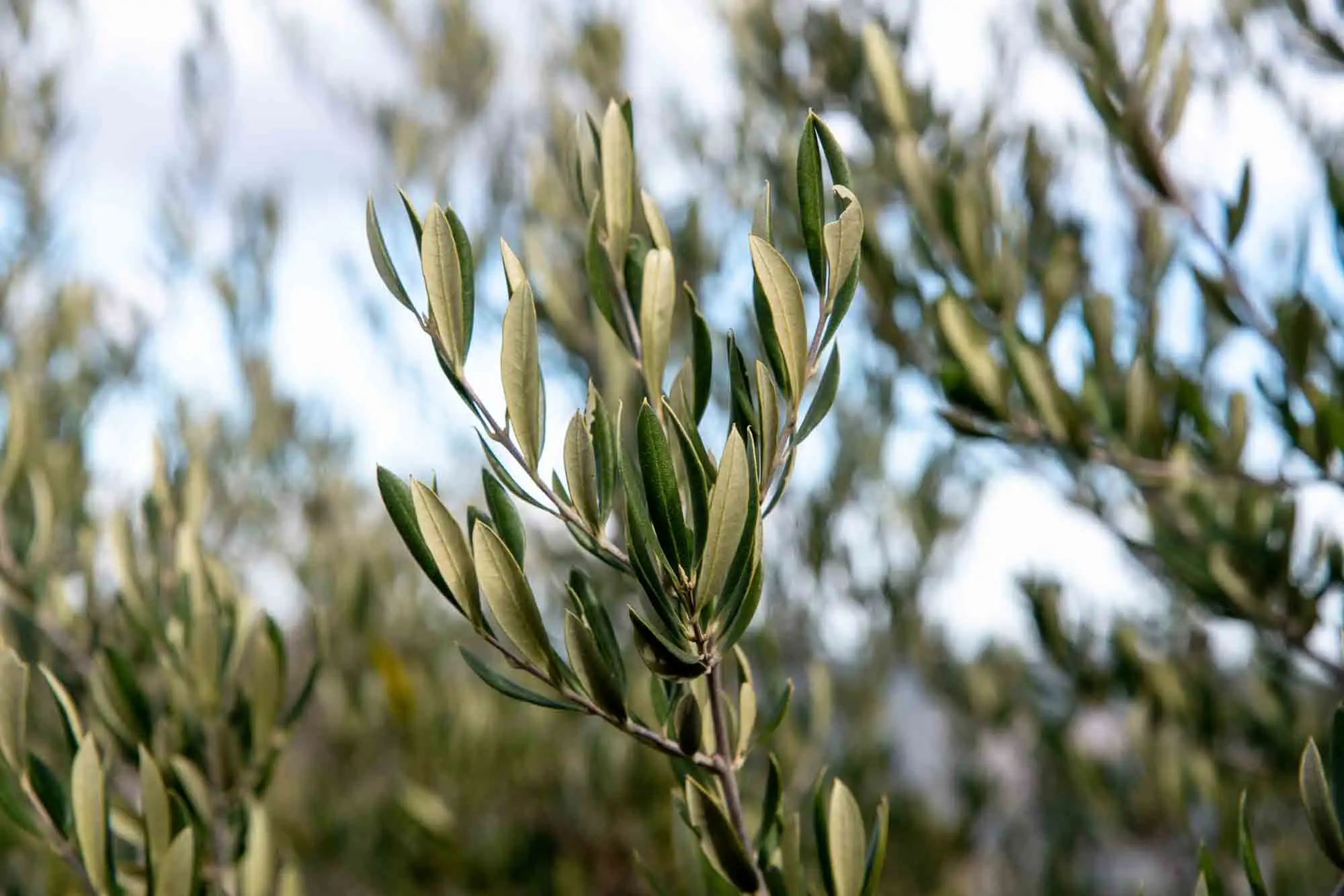
Here you can notice the difference between shady and sunny slopes. On the sunny slope, which is warmer, wild olive woods appear, dominated by the wild olive (Olea europaea var. sylvestris), accompanied by shrubby germander (Teucrium fruticans) and white asparagus (Asparagus albus).
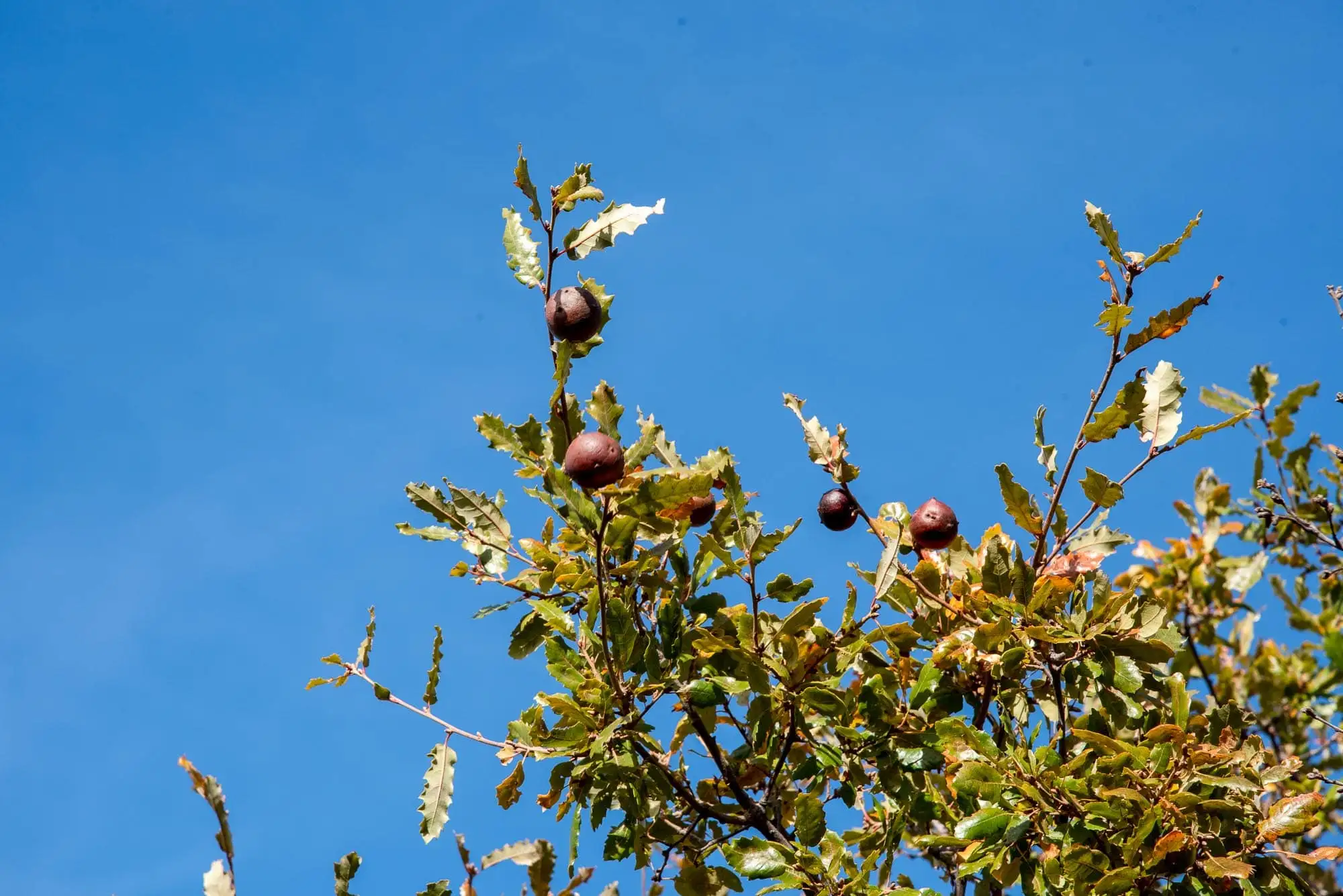
In the holm oak woods there are also Portuguese oaks (Quercus faginea), which stand drought less well than the holm oak. Their big leaves dry in autumn, but do not fall until the new shoots come out in spring: it is a marcescent tree9.
Wild olive (Olea europaea var. sylvestris).
Portuguese oak with galls.
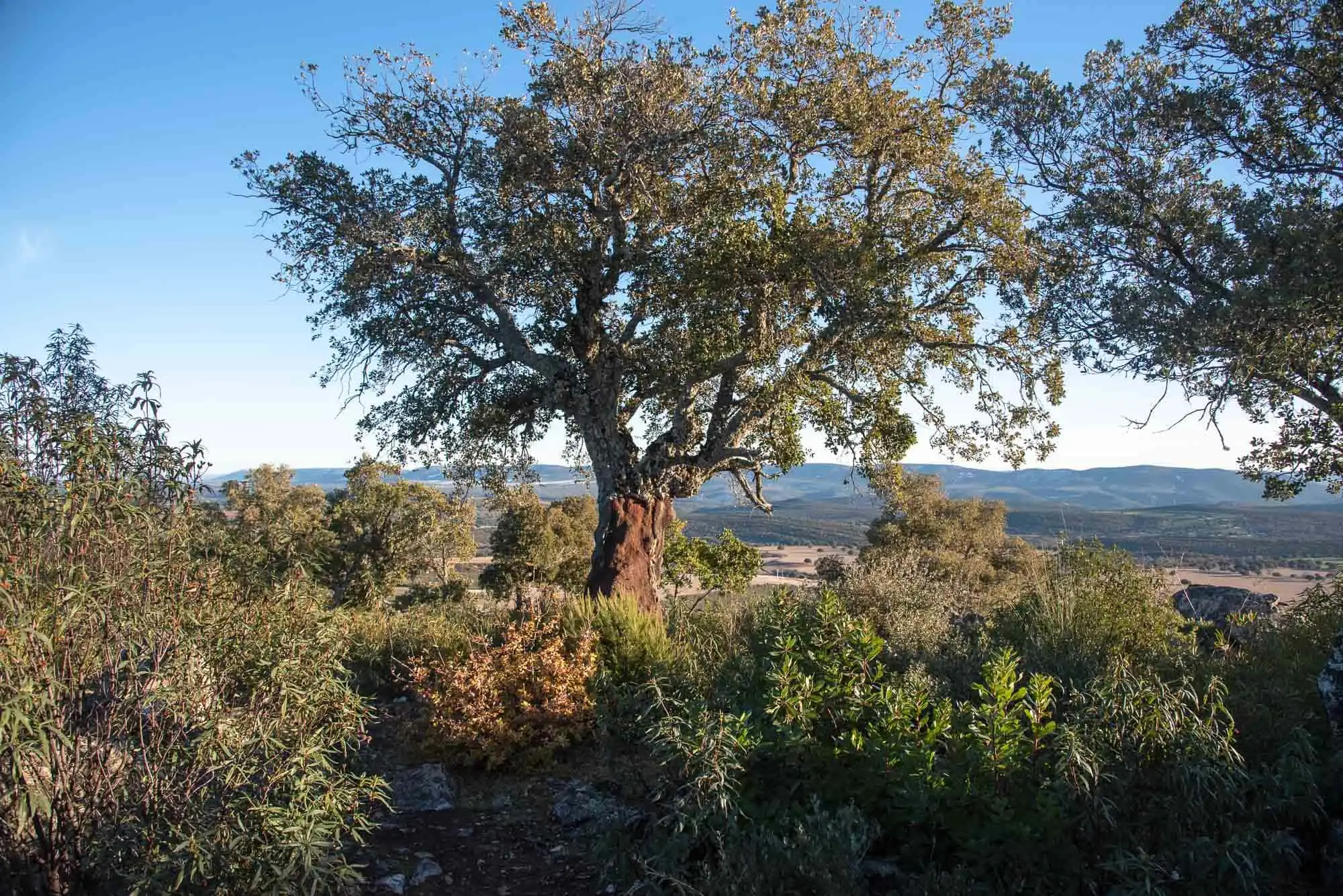
Cork oak (Quercus suber) on the ridge.
3 photos
7km 2.4 – 2.9Stop 8
The descent by another path
The way back is along the same shady slope, but by another path that leaves us on the track from the start. On the descent we see large narrow-leaved mock privets (Phillyrea angustifolia) and broad-leaved ones (Phillyrea latifolia).
There are also cork oaks. The holm oak and the cork oak share the Peninsula according to water and cold: the holm oak occupies the driest areas of the centre, and the cork oak looks for more moisture and avoids the cold, on the coast or in inland hills like this one, accompanied by shrubs such as laurustinus10.
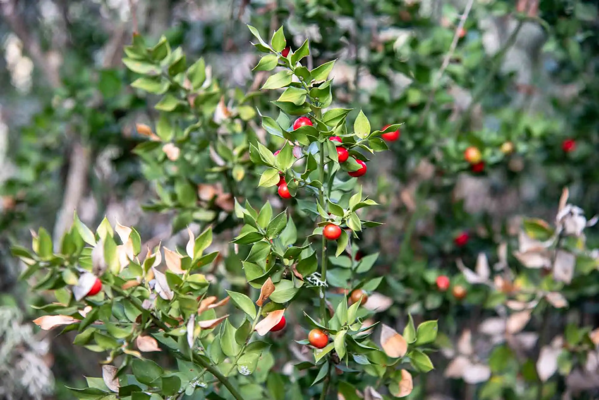
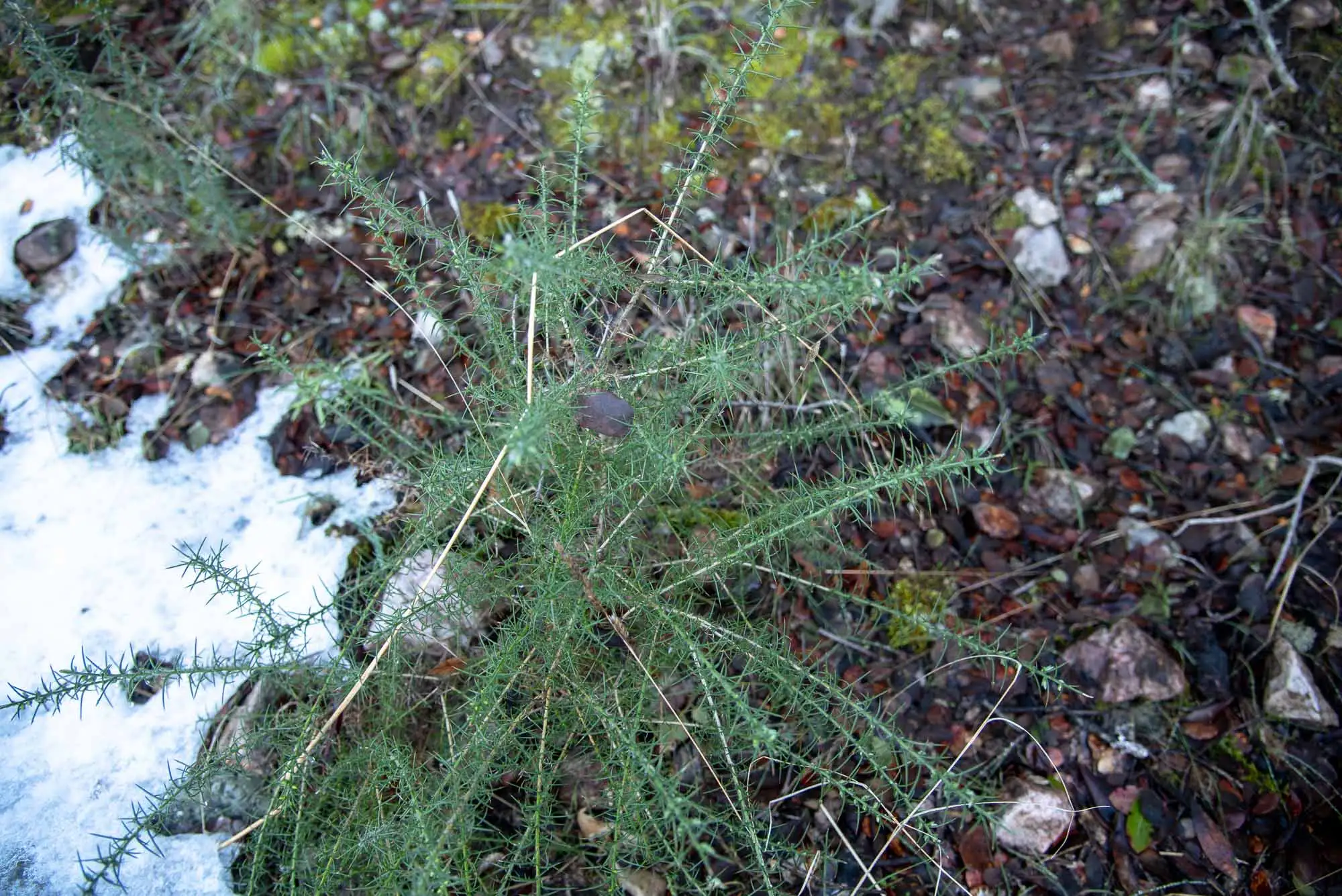
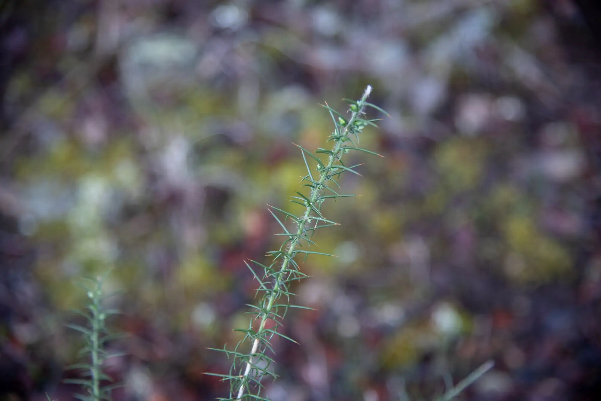
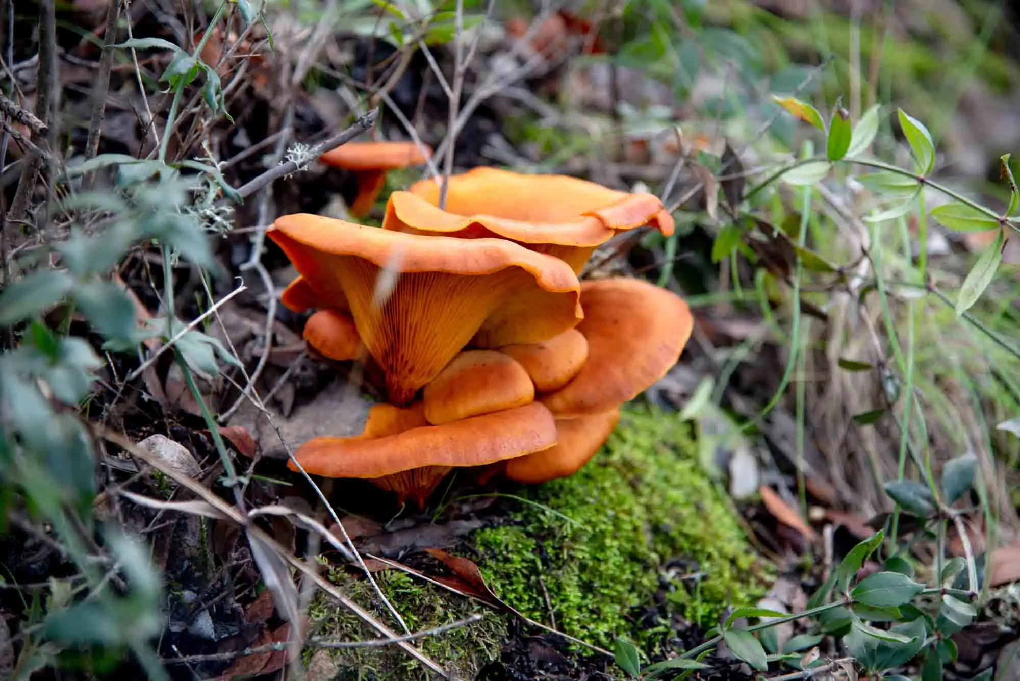
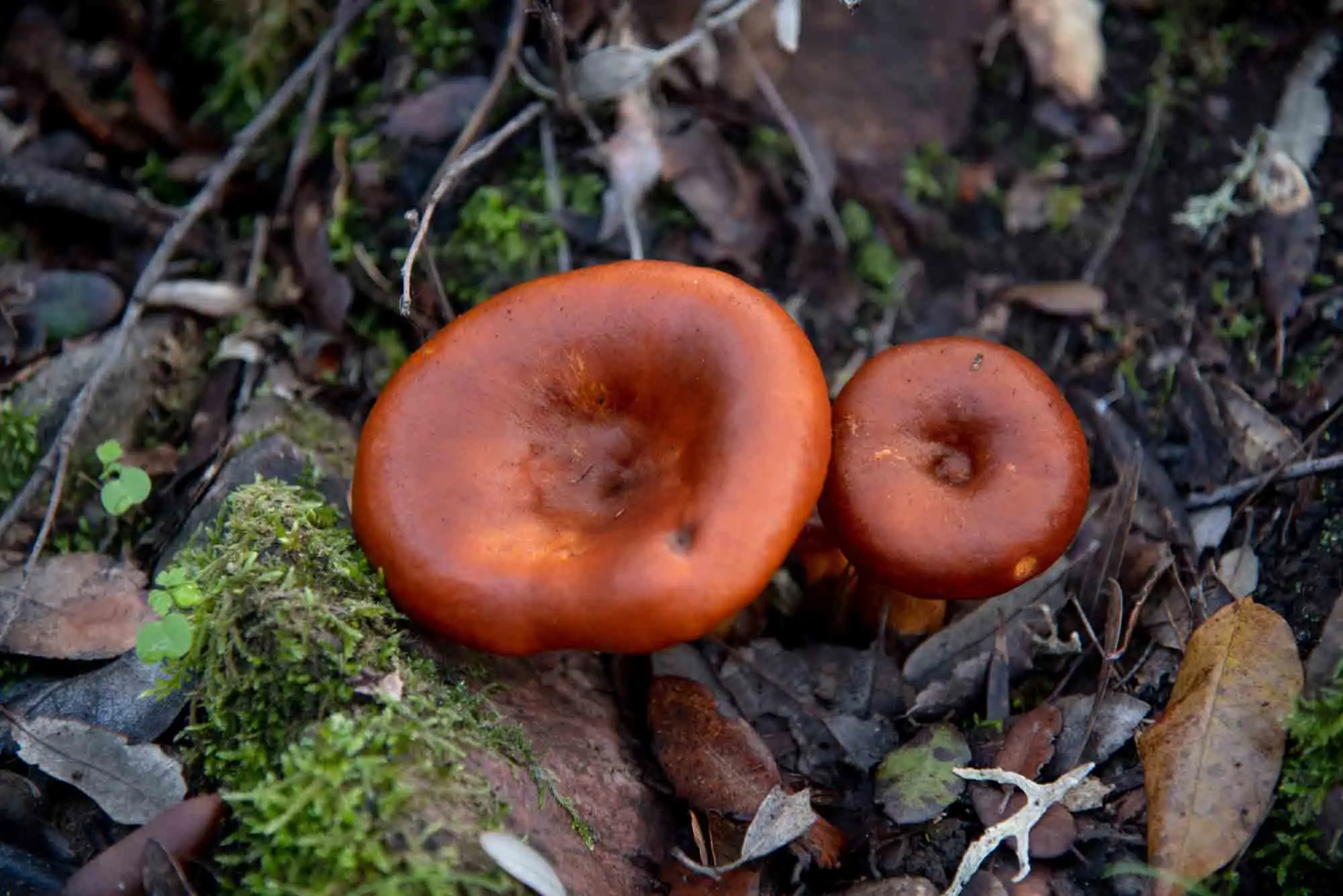
Along the way there are other interesting species: the terebinth (Pistacia terebinthus), butcher's-broom (Ruscus aculeatus), gorse, which should not be confused with juniper, and pitch trefoil (Bituminaria bituminosa). In autumn, after the rains, mushrooms also come up.
Butcher's-broom (Ruscus aculeatus).
Gorse on the Plaza de los Moros.
Gorse in detail: do not confuse it with juniper.
Pitch trefoil (Bituminaria bituminosa).
Mushrooms in autumn.
More mushrooms, among the leaf litter.
6 photos
8km 2.9 – 3.5
The track back
Back on the track, we retrace the 650 metres from the start to the car park.
In the late afternoon you can see red deer or roe deer, especially on the left-hand side of the track between the car park and the road. Wild boar may also appear. Try not to be caught by nightfall on the route: it is a little frightening to hear ungulates stirring the woodland right next to you. Before dusk, besides, it is easy to see nightjars sitting on the track.
In the sky, with a little luck, Cinereous Vultures, Griffon Vultures and Golden Eagles.
Perea García-Calvo, R., Perea Ruiz-Tapiador, D. y Giménez Velasco, G. F. (2015). Vegetación y flora del Parque Nacional de Cabañeros. Volumen I. El paisaje vegetal: ecología, conservación y rutas de interés geobotánico. Madrid: Editorial Solitario.
Rodríguez Fernández, R. (ed.) (2017). Parque Nacional de Cabañeros. Guía geológica. Madrid: Instituto Geológico y Minero de España.