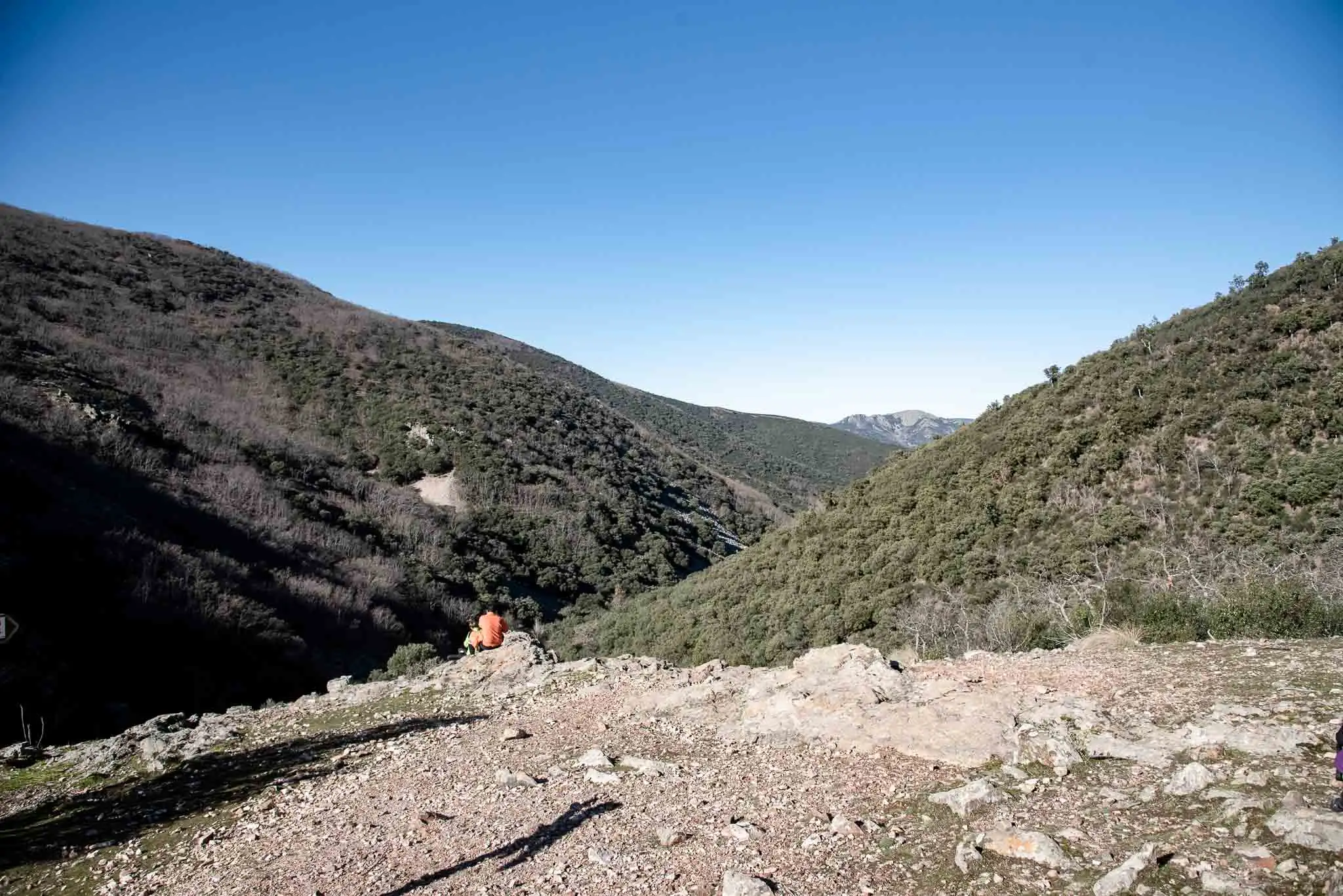
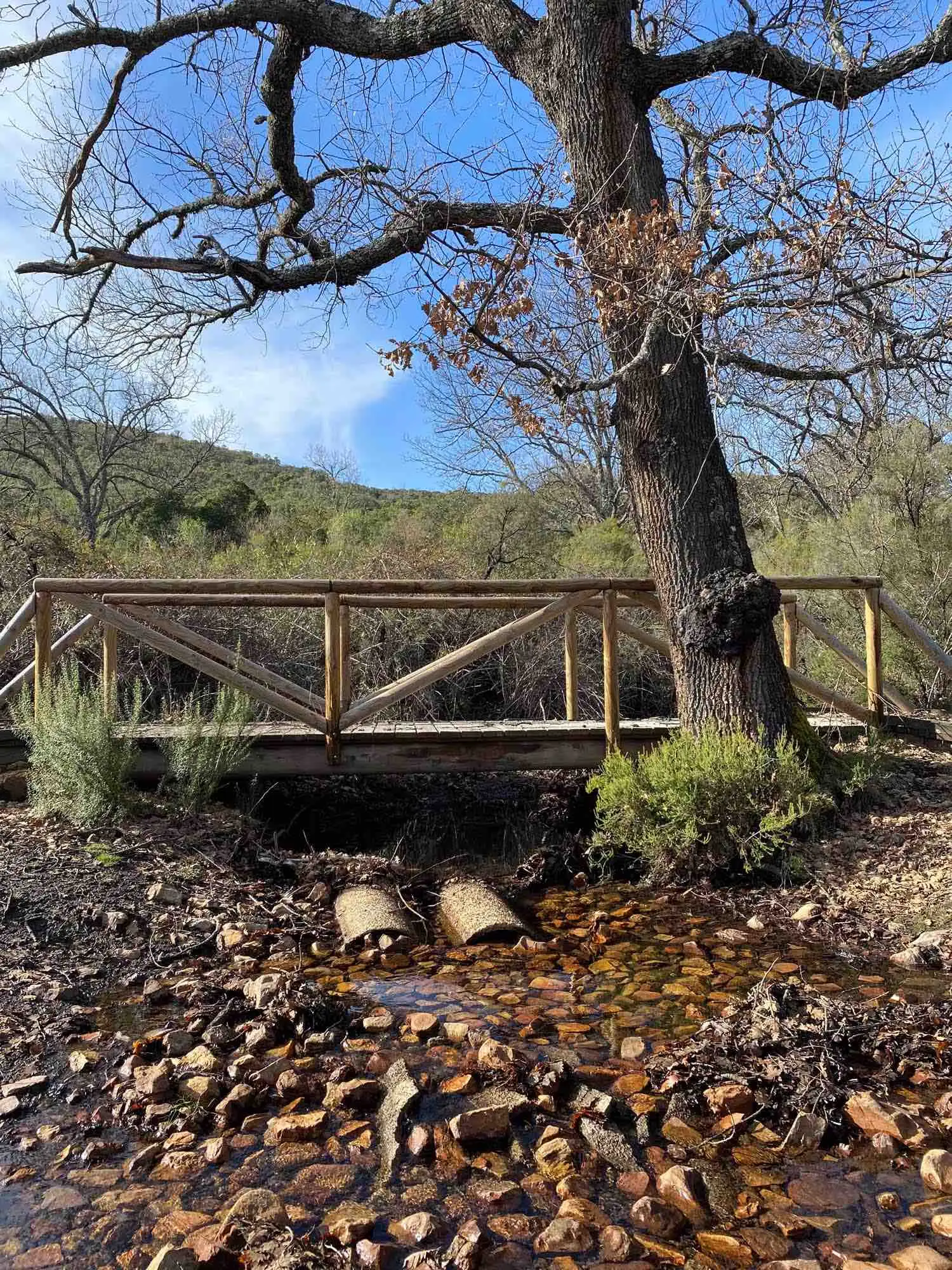
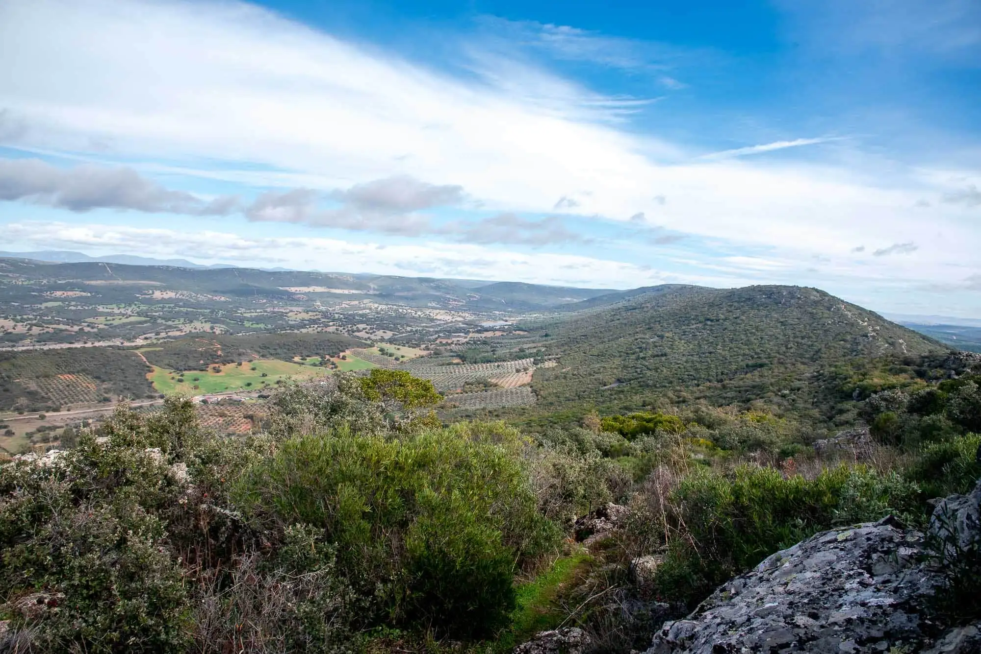
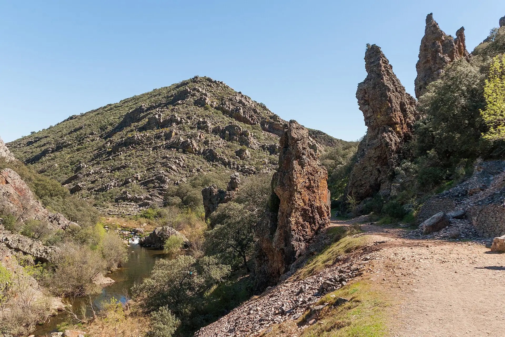
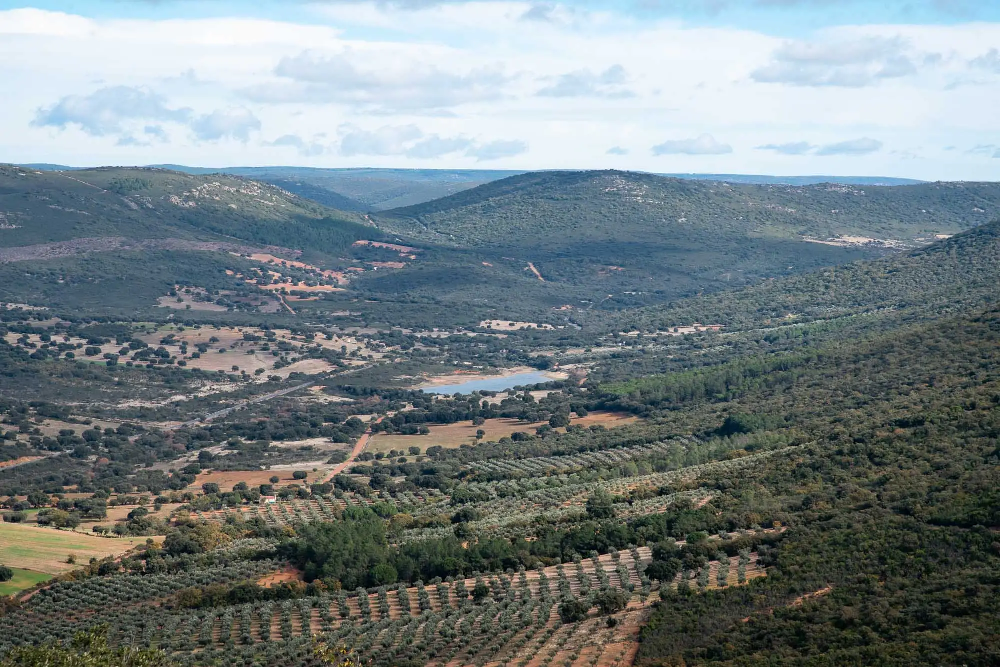
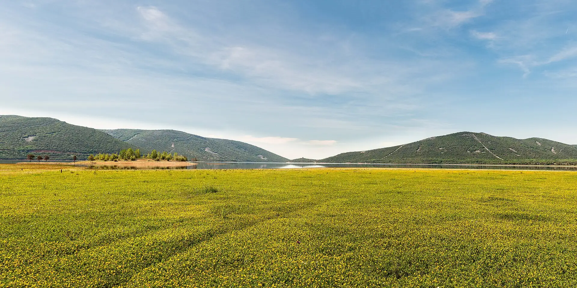
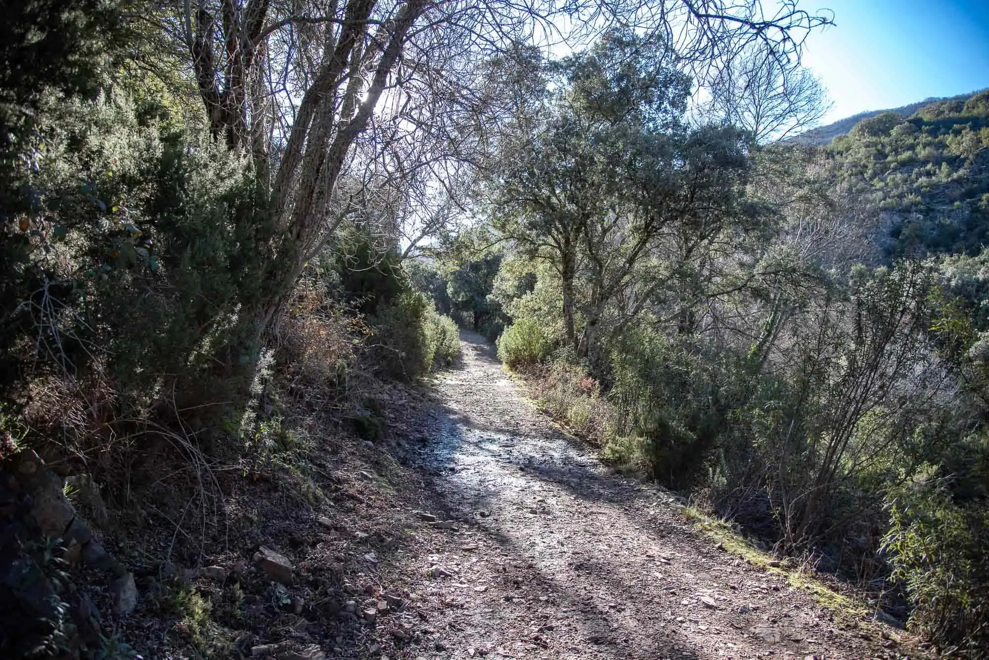
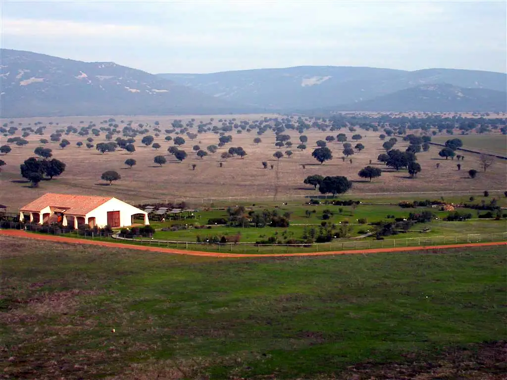
A public estate with three trails that can only be walked with a guide: Valhondo goes down to the Estena river, the Cork oak valley makes the big loop and the Oak–cork oak woods trail is the short one.
All three begin the same way: you meet the guide at the estate gate (A) and follow their car along the track to where the walk starts. The two long trails are in the morning and you do not choose: the guide decides on the day between Valhondo and the Cork oak valley, depending on the weather and safety. The short one, Oak–cork oak woods, is in the afternoon and is not run in July or August, because of the heat1.
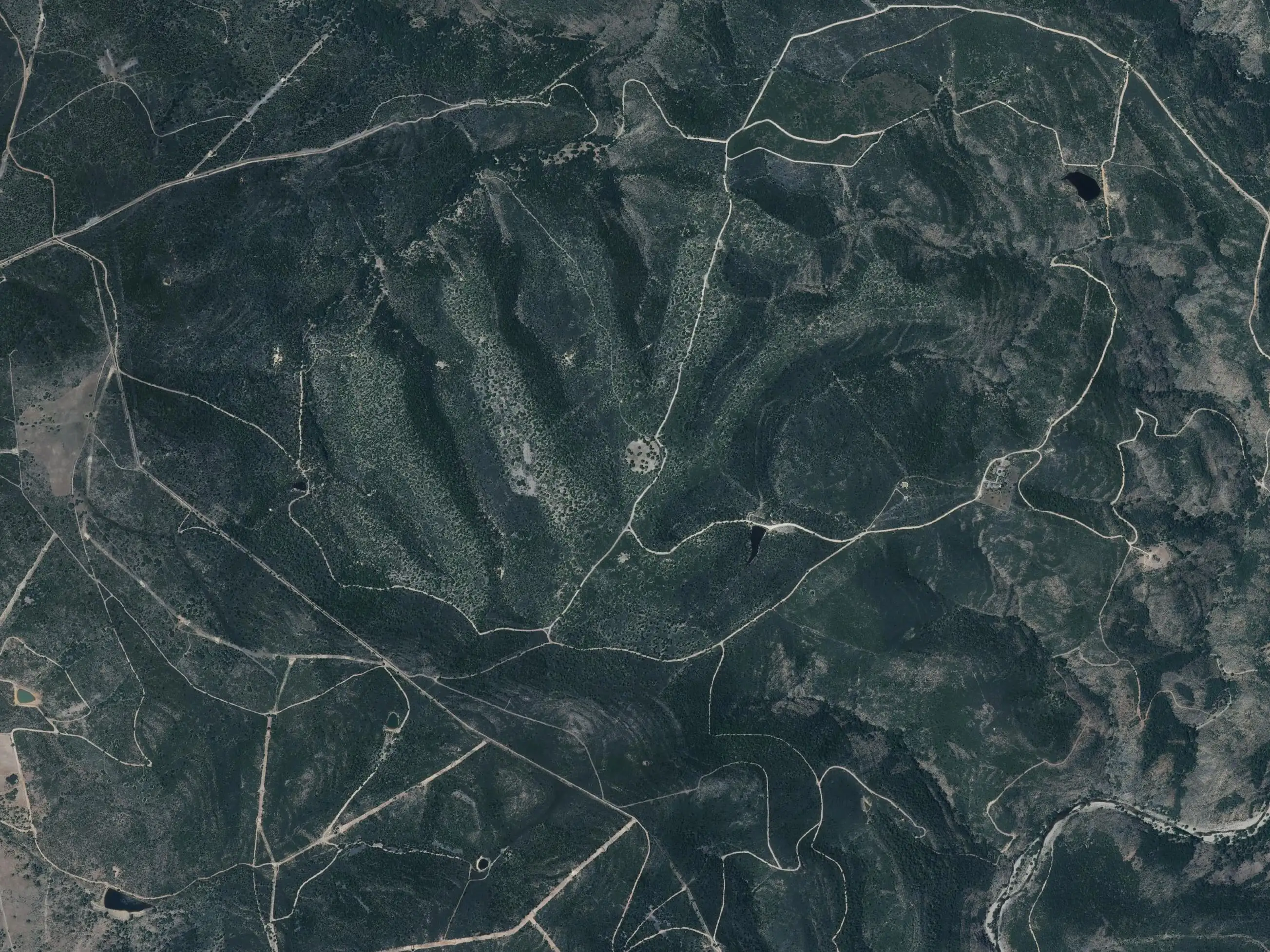
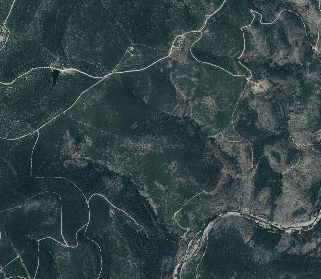
ValhondoCork oak valleyOak–cork oak woodsAEstate gate: the guide waits hereBGargantilla houseStart and finish of Valhondo and the Cork oak valley
At the Gargantilla house (B), where you park, about 5 km along the track from the gate2.
Ends
At the house: it is circular.
When
In the morning, if the guide chooses it.
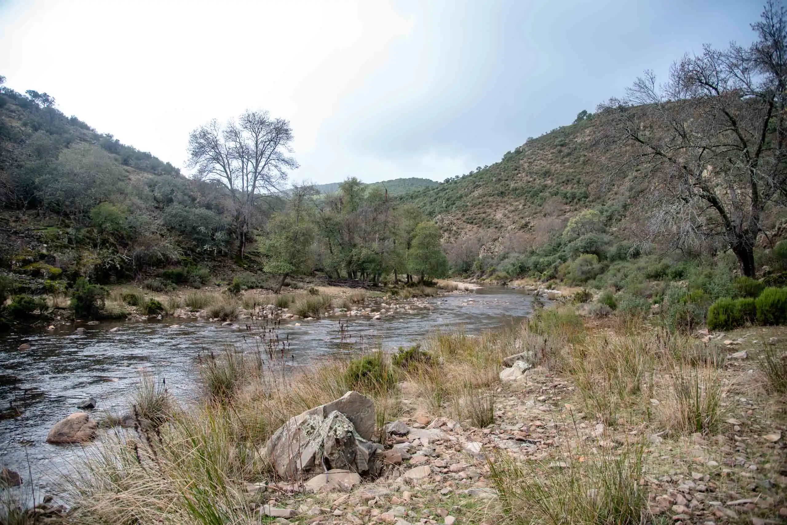
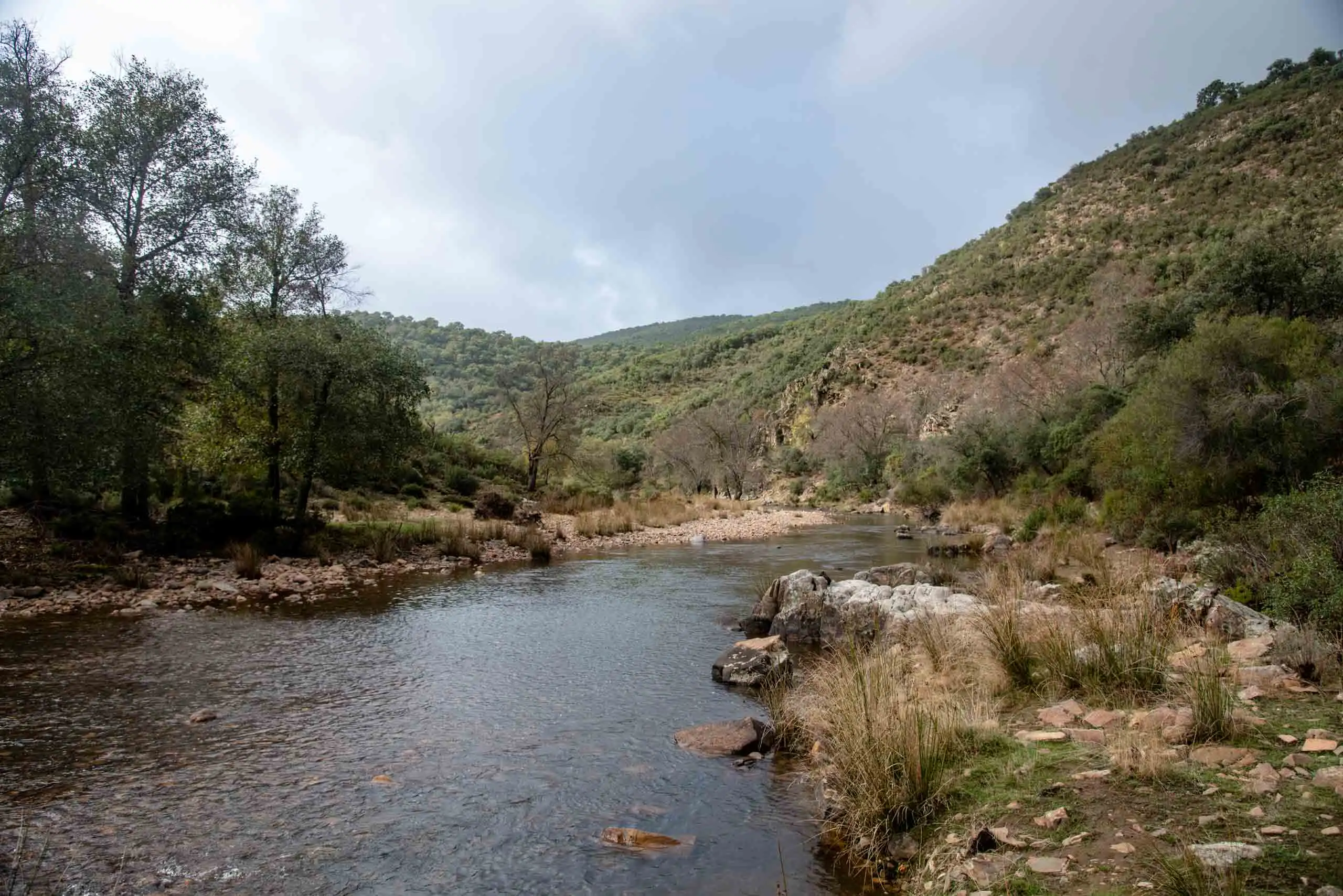
It goes down the Gargantilla stream path to the Estena river, follows the bank between alders and ashes to the Valhondo stream, and from there climbs a steep slope to come back along the ridge3. It is the only one of the three with a real climb.
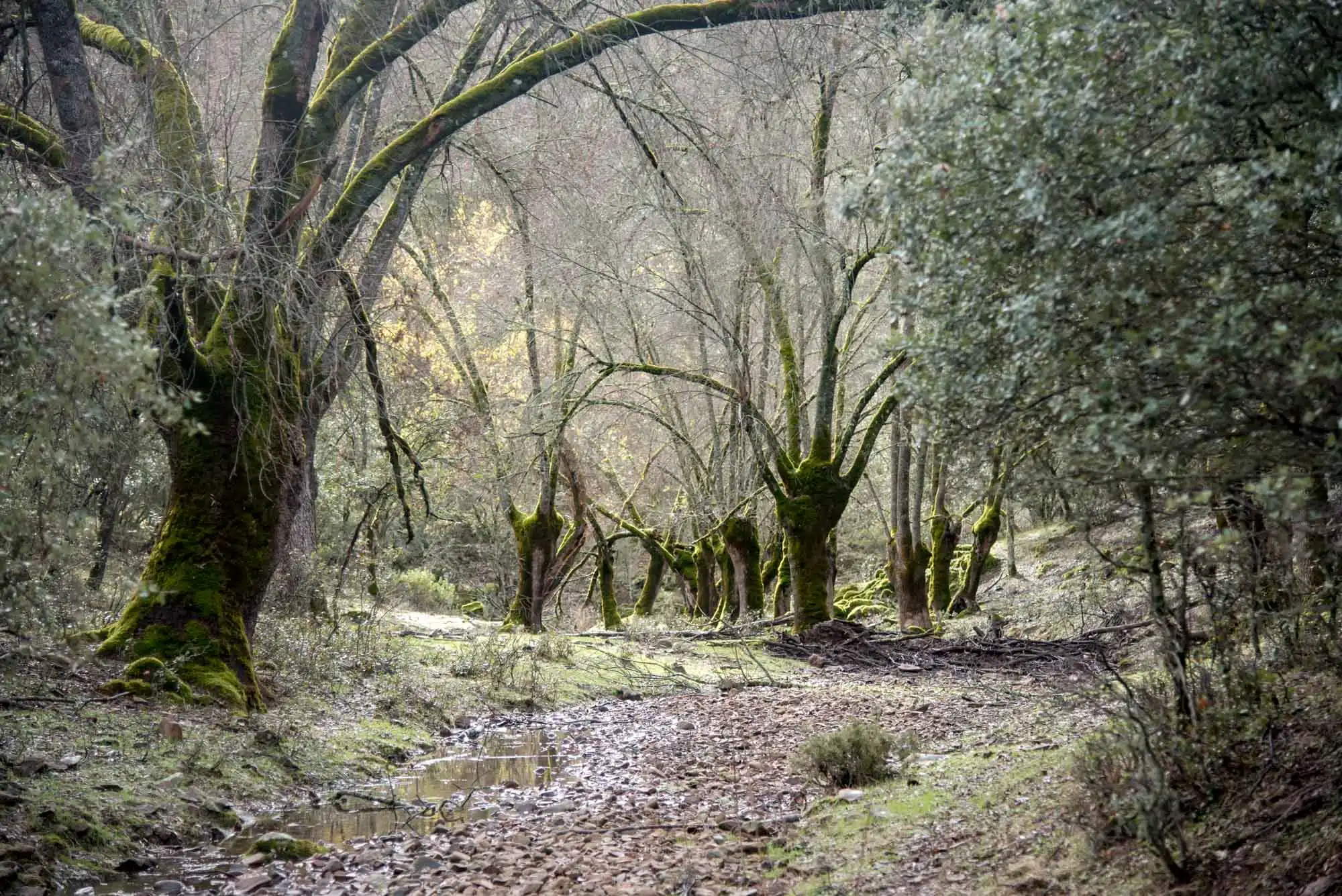
The big loop around the estate: 10 km with hardly any slopes, which feel long because of the clock rather than the legs. It follows the central track, among cork oaks and with the Montes de Toledo in view, and the valley of the Alcornocal stream, with an oak wood of Pyrenean oaks, maples and hawthorns on the valley floor.
It passes two artificial ponds. In one you can observe frogs, painted frogs and Spanish pond turtles; the other, covered in water crowfoot, hides the larvae of Sharp-ribbed Newt, fire salamander and Bosca's Newt5.
Oak–cork oak woods
5 km circular
2 h 30 min with the guide
100 m of ascent
Difficulty easy
Starts
The park does not publish the exact point: the guide tells you at the gate. The official track touches the access track 1.4 km from the gate6.
Ends
At the same place: the park lists it as circular.
When
In the afternoon, except in July and August.
It is the short version of the Cork oak valley and has hardly any slope. It starts along the central track, turns off onto a path into a dense cork oak wood of rockroses and heathers, and goes gently down to an oak wood on the valley floor, with great tits and blue tits7.
The ministry’s track has two parts: a loop of 2.8 km, which shares the stretch of track with the Cork oak valley, and a branch of 1.7 km along the valley of the Alcornocal stream (dotted on the map). Together they make 4.5 km, and the park gives 5. Whether the branch is walked there and back, and where the cars are left, the guide will tell you.
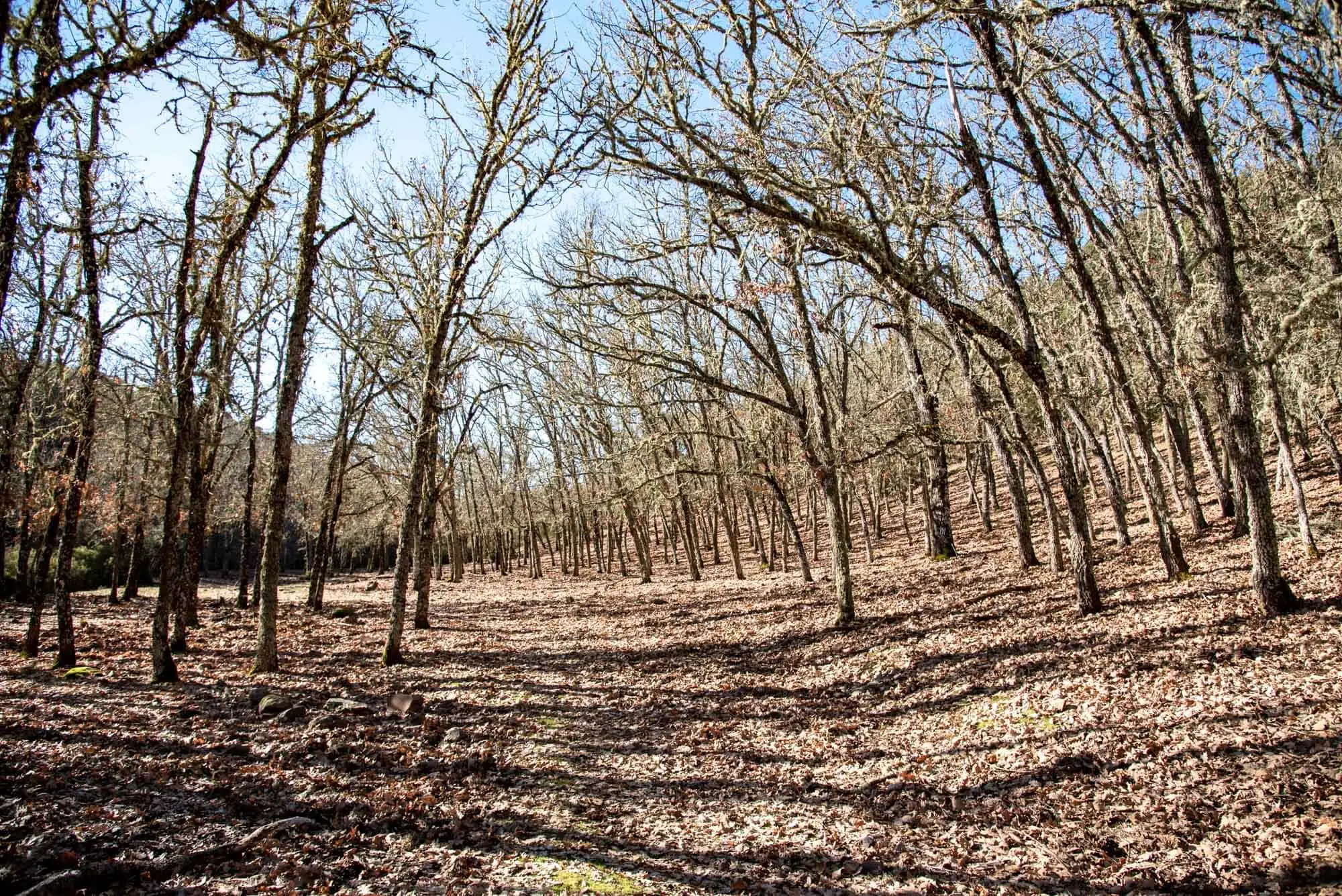
The Pyrenean oak wood, in winter.
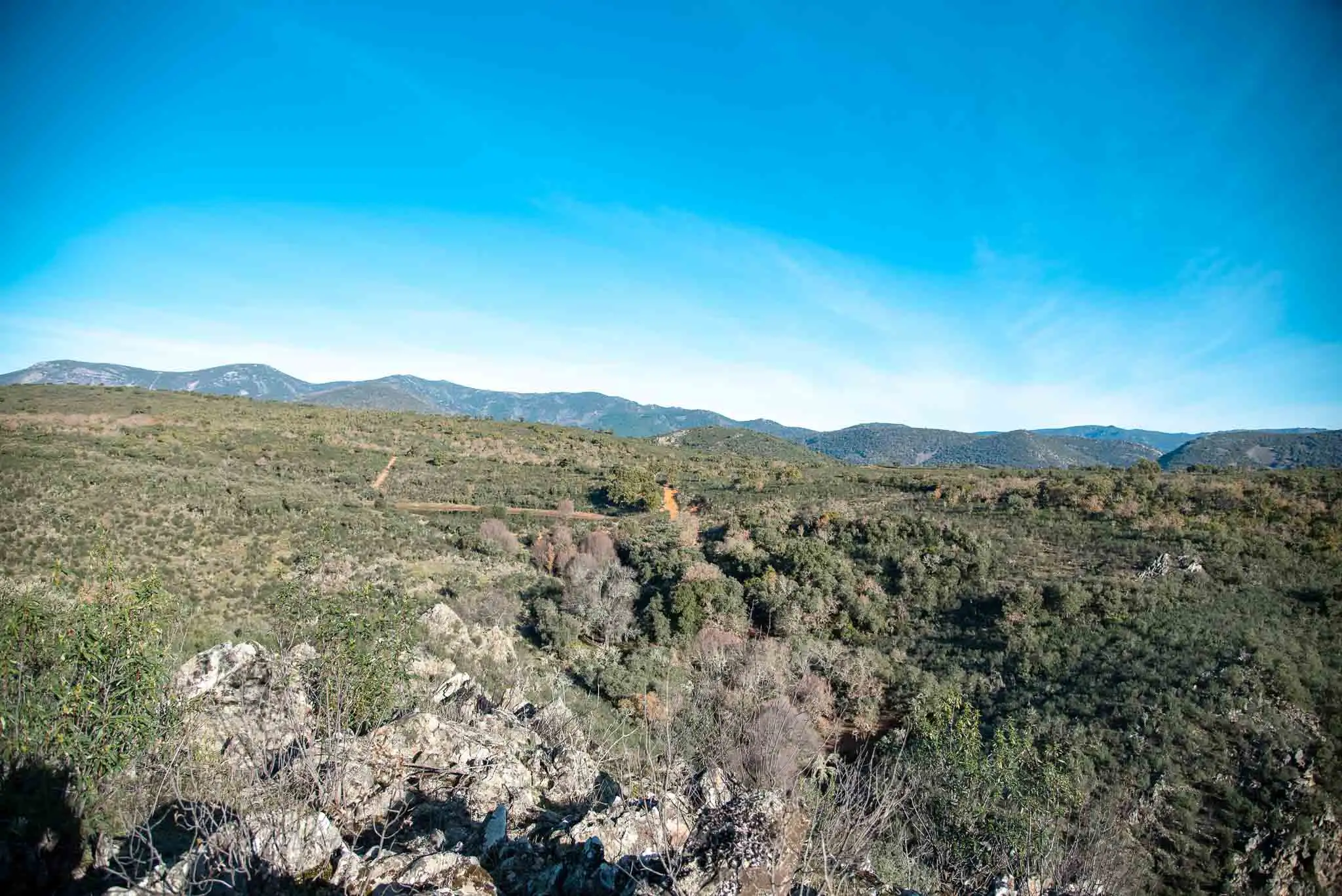
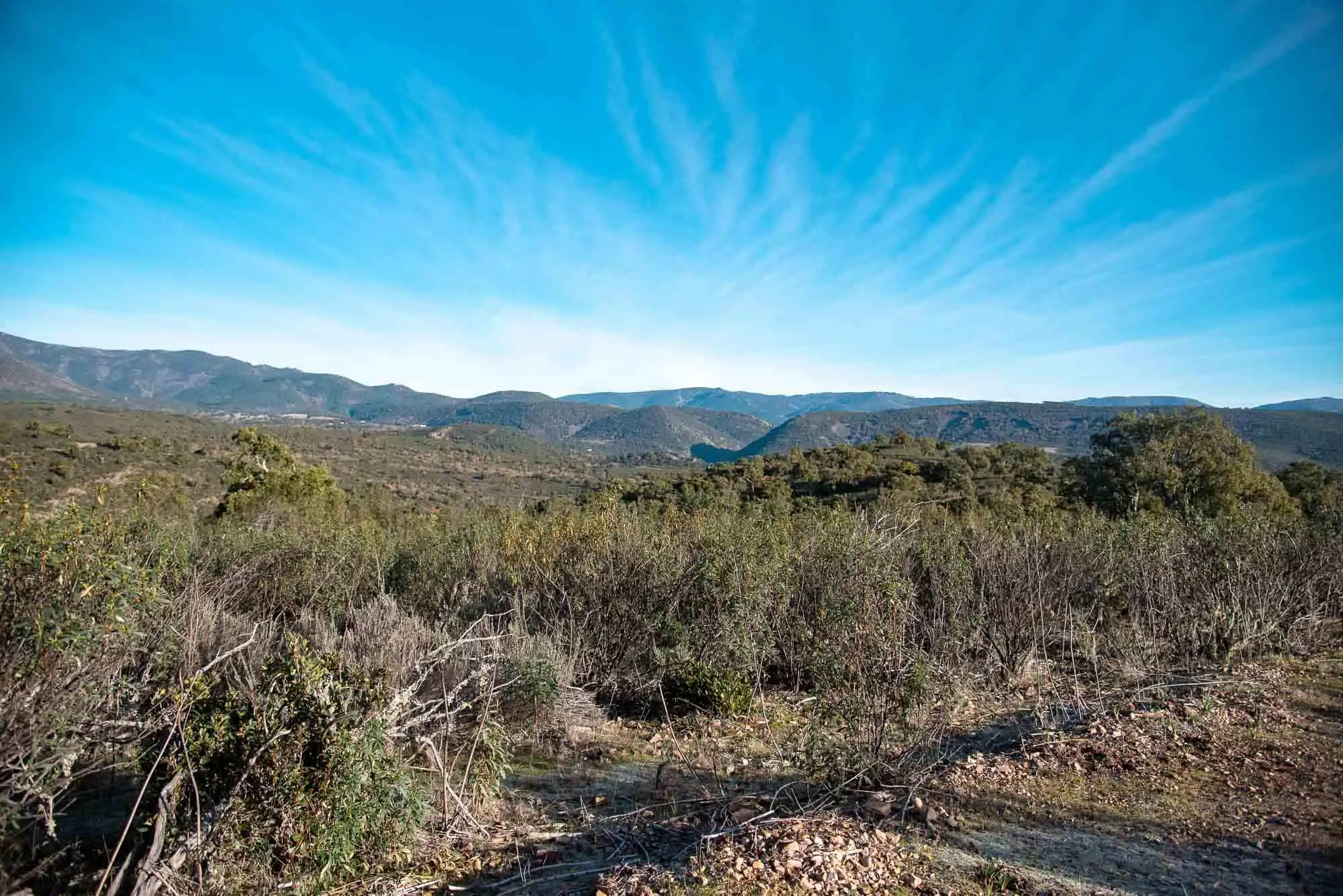
The Montes de Toledo, from the trail.
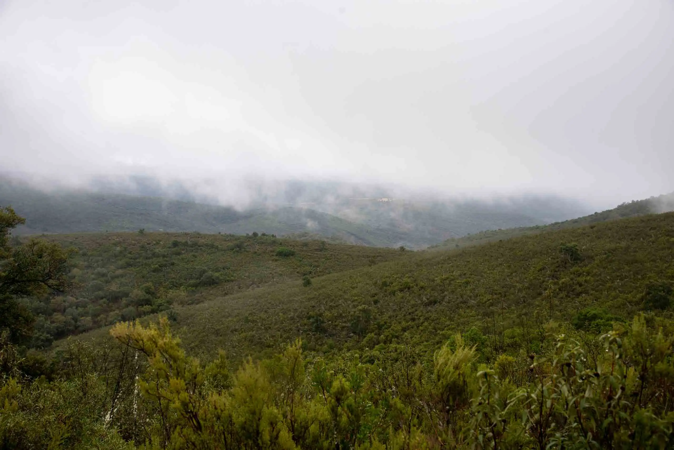
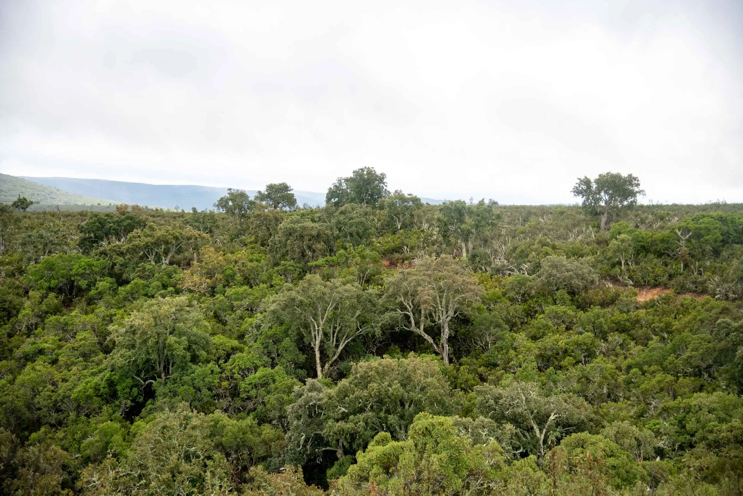
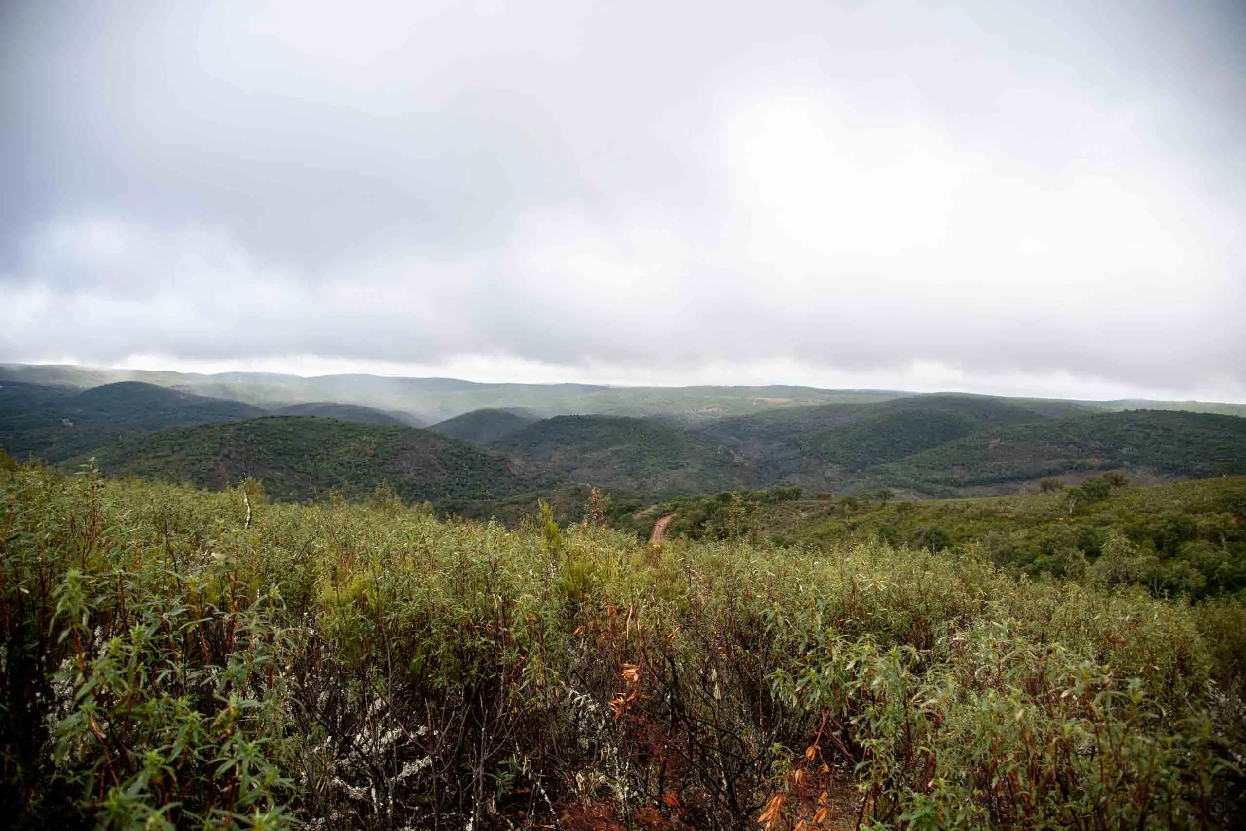
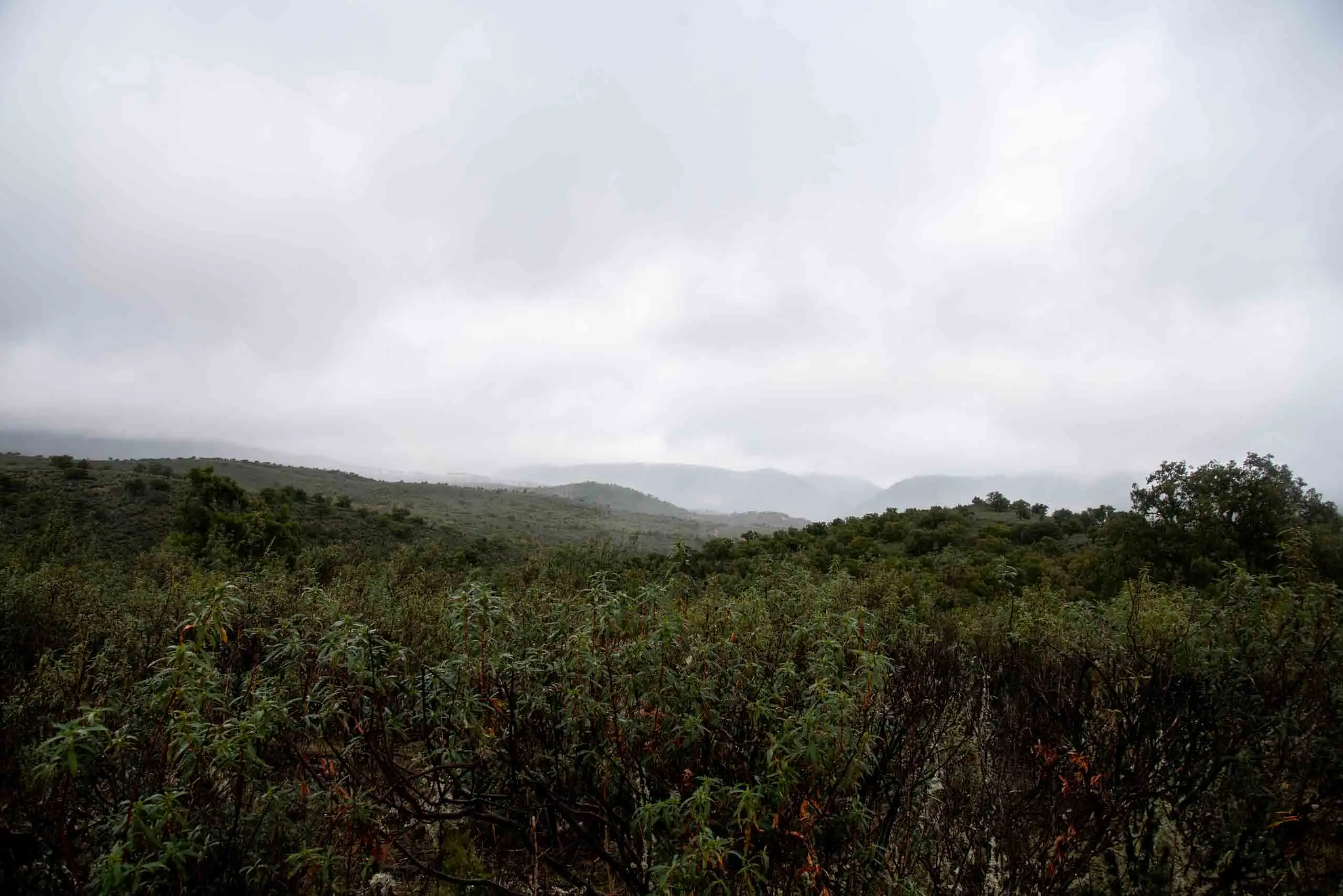
The hills of the estate.
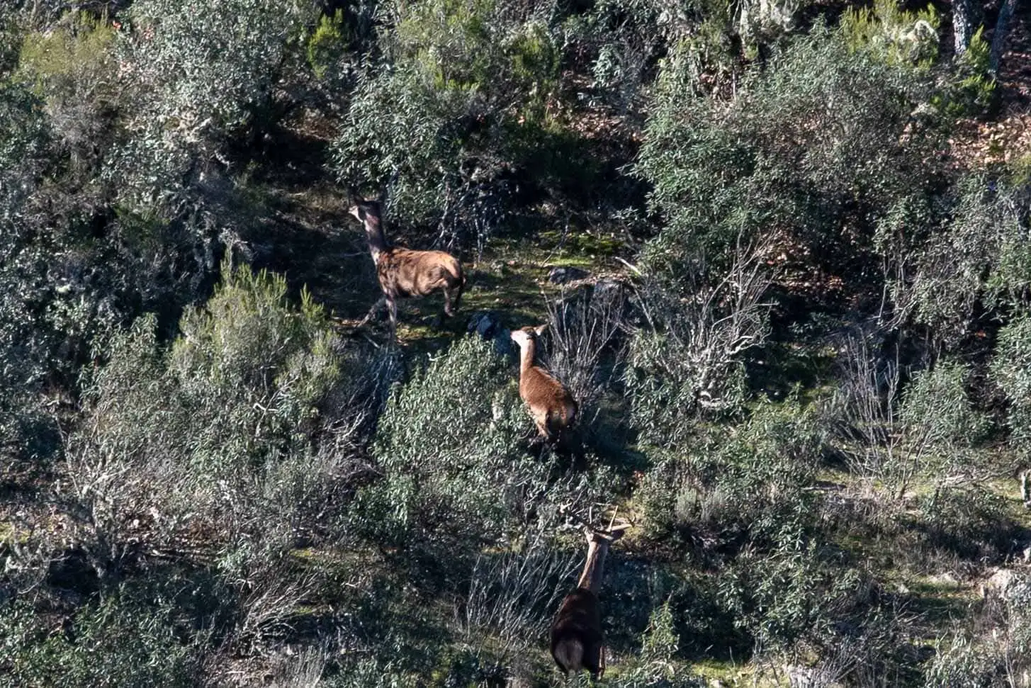
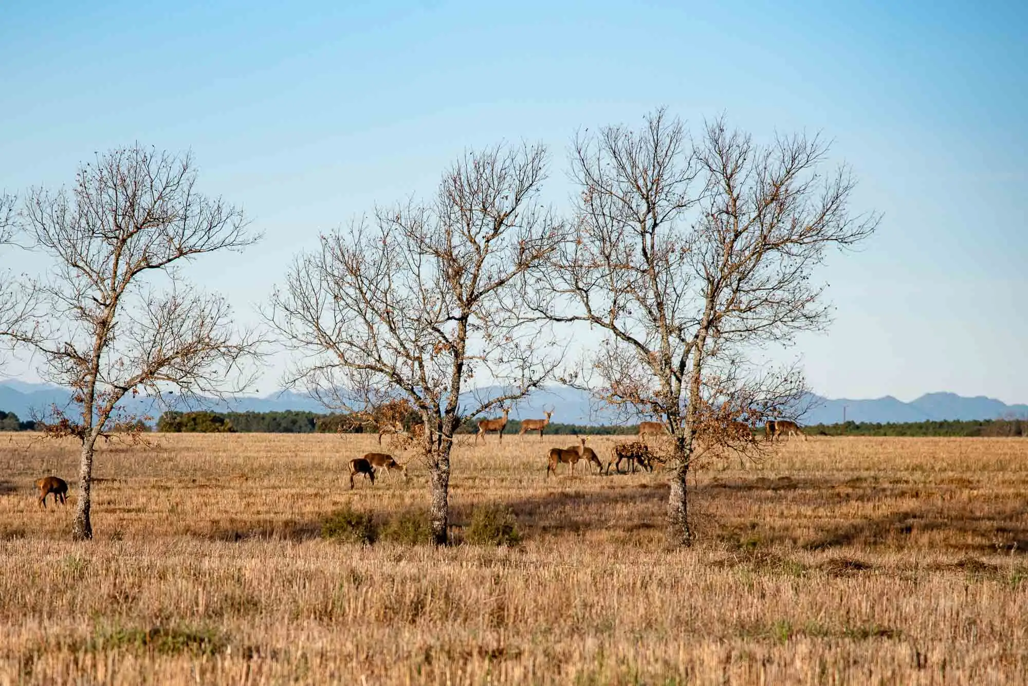
Hinds in the scrub.
4 photos
Valhondo at a glance
Valhondo is a 6.5 km circular trail that starts and ends at the Gargantilla house: we go down among Pyrenean oaks and cork oaks to the river, climb a steep slope and return along the ridge. The other two trails are on the map above.
Route profileFrom 574 to 800 m above sea level. Move your finger or the mouse over it
550 m600 m650 m700 m750 m800 m
0 km246
Maps: satellite and topographic, Instituto Geográfico Nacional. Kilometres measured on the track (6.3 km); the park gives 6.5 km for Valhondo; the other two trails, 5 and 10 km. Approximate altitudes (Copernicus 90 m model).Download the Valhondo track (GPX)
Before you go
Guided only, with booking. It cannot be done on your own: free booking at the administrative centre (926 783 297 / 926 783 456) or at the Booking Centre, and confirm the meeting point there.
In much of the park your phone has no data. Save the route before you set off and you will have all of it, with photos, map and profile. Once in the park, open cabaneros.org in this same browser: if there is no signal, the site takes you to your saved routes. GPS works without signal: on the map, “Where am I” shows your position.
It takes a few megabytes and deletes itself after 60 days.
On iPhone, Safari deletes saved data if you go more than a week without visiting the site, so save it a few days before you go.
Practical information
Oak–cork oak woods
AccessGuided only
Duration2 h 30 min
Distance5 km, circular
Ascent100 m
DifficultyLow
Booking
Compulsory. The guided walk is free and is booked at the park's administrative centre (926 783 297 / 926 783 456) or through the National Parks Booking Centre.
Start and parking
Gate of the public Gargantilla estate, along a dirt track of about 4 km from km 37 of the CM-4157 (Navahermosa–Cíjara reservoir). The guide waits there; inside, you follow by car for about 5 minutes to the start.
Water
There are no springs and nowhere to buy food or drink: you have to bring everything.
Valhondo
AccessGuided only
Duration4 h
Distance6.5 km, circular
Ascent300 m
DifficultyMedium–low
Booking
Compulsory. The guided walk is free and is booked at the park's administrative centre (926 783 297 / 926 783 456) or through the National Parks Booking Centre.
Start and parking
Gate of the public Gargantilla estate, along a dirt track of about 4 km from km 37 of the CM-4157 (Navahermosa–Cíjara reservoir). The guide waits there; inside, you follow by car for about 5 minutes to the start.
Water
There are no springs and nowhere to buy food or drink: you have to bring everything. The River Estena and the Valhondo stream are dry in summer.
Bear in mind
It has a fairly steep stretch, which the park does not recommend at times of year or times of day when it is very hot.
Cork oak valley
AccessGuided only
Duration4 h
Distance10 km, circular
Ascent150 m
DifficultyLow
Booking
Compulsory. The guided walk is free and is booked at the park's administrative centre (926 783 297 / 926 783 456) or through the National Parks Booking Centre.
Start and parking
Gate of the public Gargantilla estate, along a dirt track of about 4 km from km 37 of the CM-4157 (Navahermosa–Cíjara reservoir). The guide waits there; inside, you follow by car for about 5 minutes to the start.
Water
There are no springs and nowhere to buy food or drink: you have to bring everything.
For seeing wildlife, the first and last hours of daylight are the best, according to the park. Official data: park information (MITECO, 2025).
Recommendations
Booking and punctuality
Without a booking you cannot enter: all three paths are guided only8. The guides wait 15 minutes as a courtesy and then the estate gates close and the route begins, so do not be late. If you are not going, let them know as soon as possible; with fewer than four participants the park may cancel the departure.
Leave in good time
The road to the turning is in poor condition and the dirt track is long. Allow an hour from Horcajo de los Montes.
Hiking boots
Or, failing that, trainers. You have to cross parts of the river on wet stones, and you can slip in the muddy areas.
Water and food from home
There are no springs or shops on the estate, and on Valhondo the river and the stream are dry in summer9.
Mind the heat
Valhondo has a fairly steep section that the park advises against in hot seasons and at hot times of day. In summer, bring sunglasses, a cap and sun cream.
Binoculars
For the red deer, which you can see early in the morning on the rañas you cross on the way in, and for the woodland birds.
Valhondo, section by section
5 sections of Valhondo, from the Gargantilla house back to the house. The map follows your reading: the light dot is where you are.
1km 0 – 1
Along the high ground, with the Rocigalgo ahead
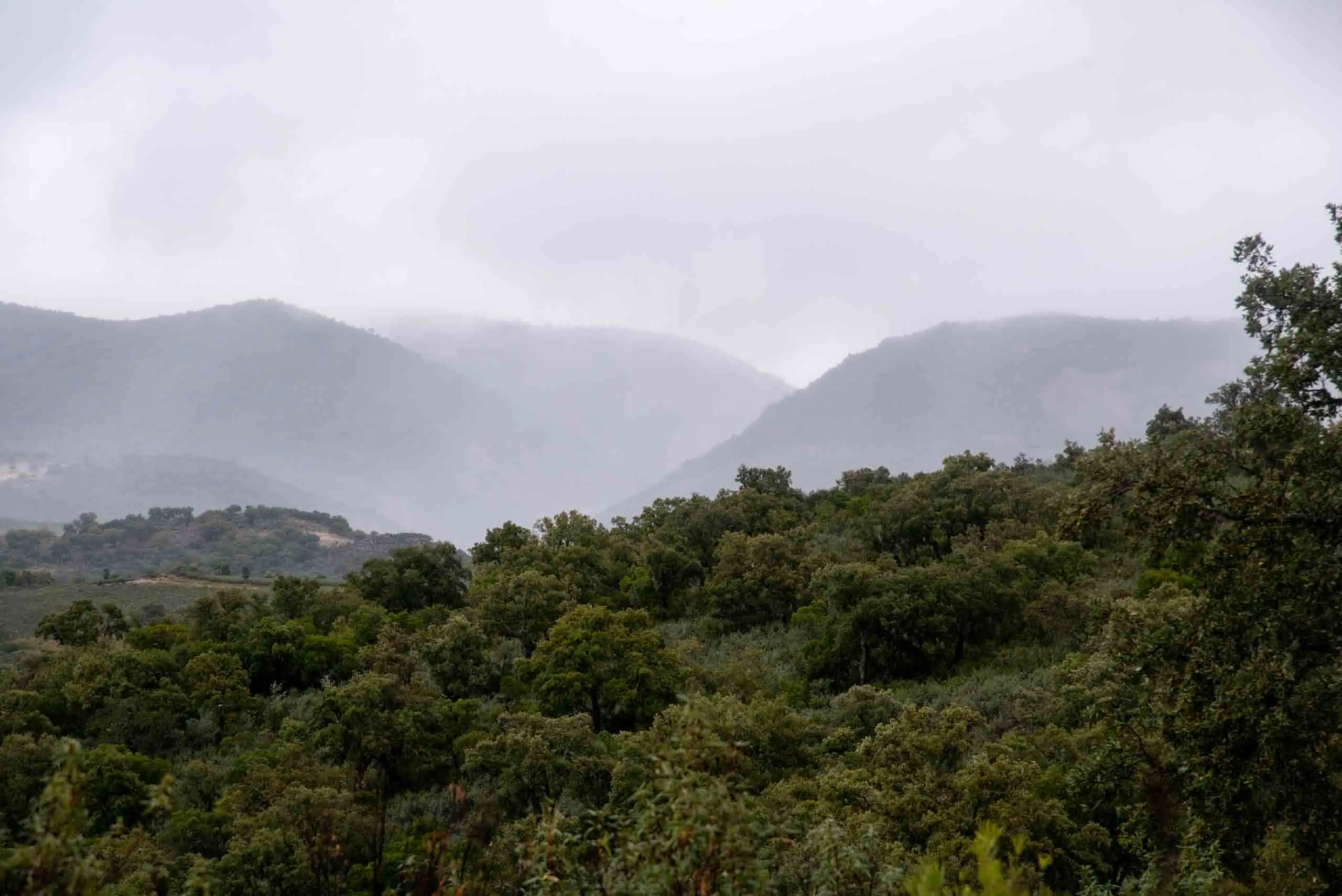
Gargantilla keeps some of the best-preserved woods and scrub of the Luso-Extremaduran Mediterranean vegetation. Right at the start, if the day is not cloudy, you can see the highest point of the Montes de Toledo, the Rocigalgo massif, and the gentle outline of these mountains.
At the start, the Rocigalgo hides in the mist.
The valleys of the estate.
2 photos
Along the route the environments change a lot: shady and sunny slopes, crags of quartzite and sandstone, deep ravines, streams and the Estena river. What is scarce are pastures, which appear almost only under the ash trees and Pyrenean oaks. There are two reasons: the ground is hard to reach, so it was hardly ever ploughed or cleared, and the soil is poor and shallow.
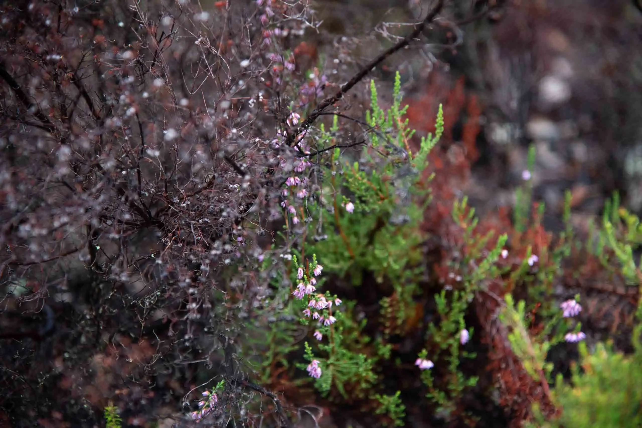
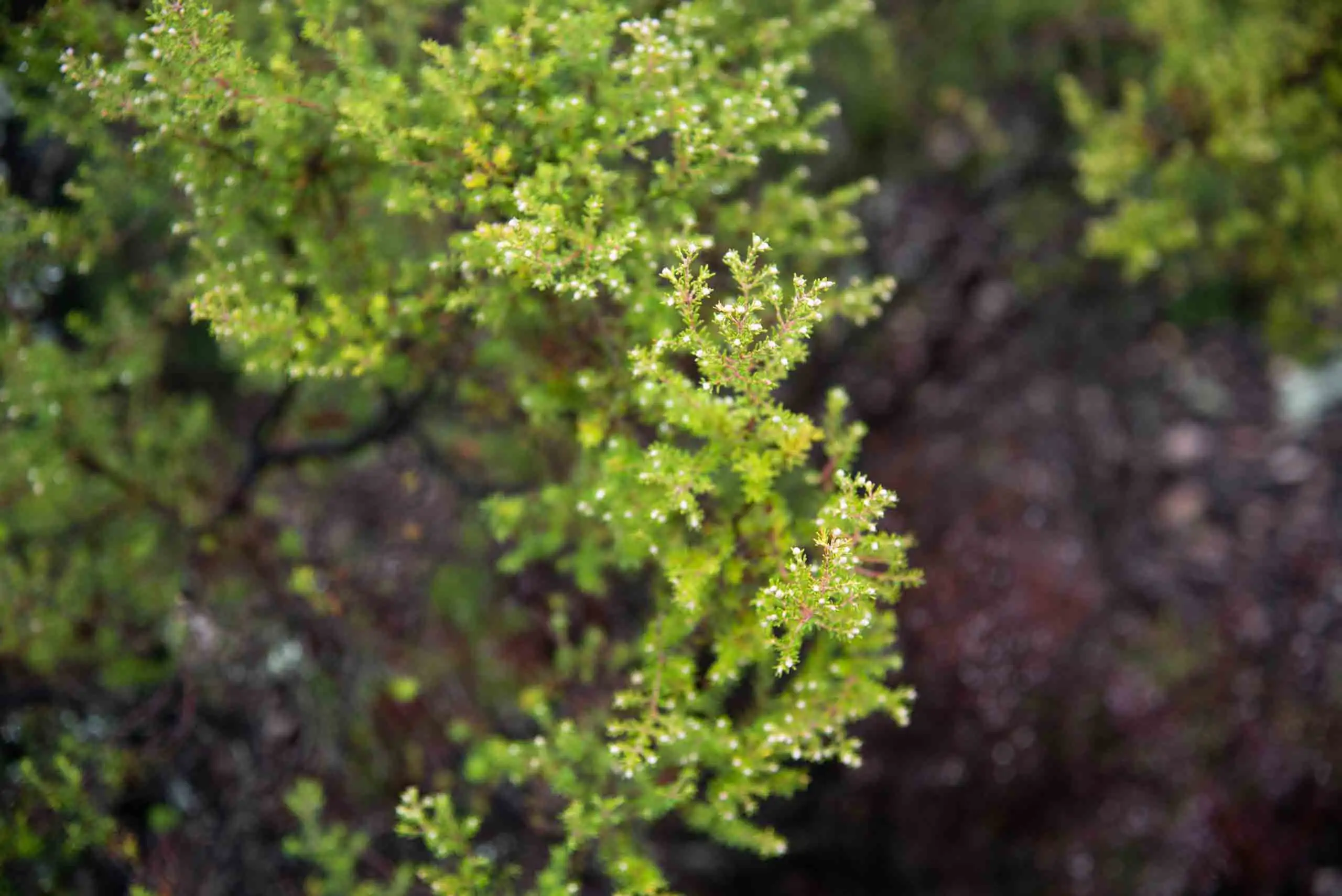
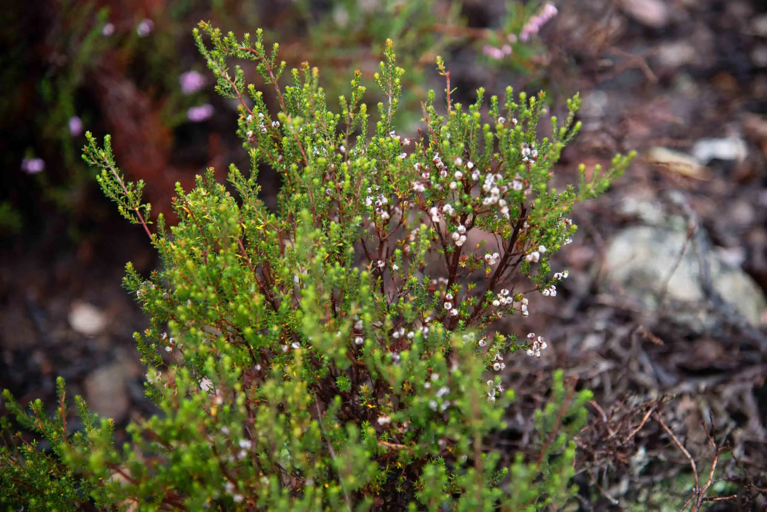
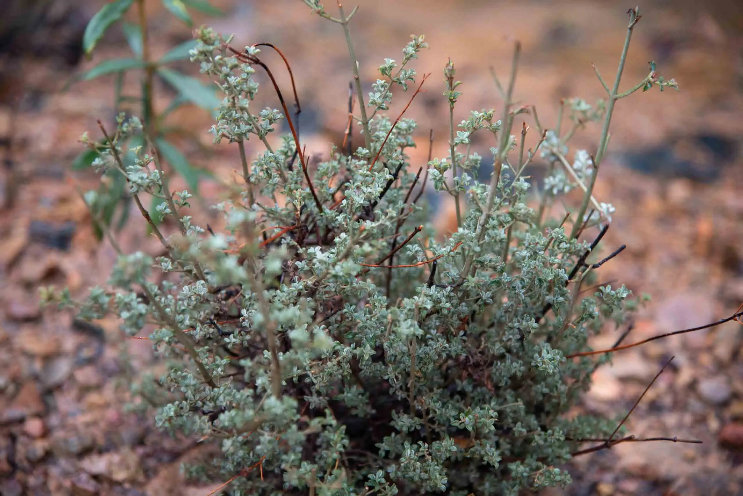
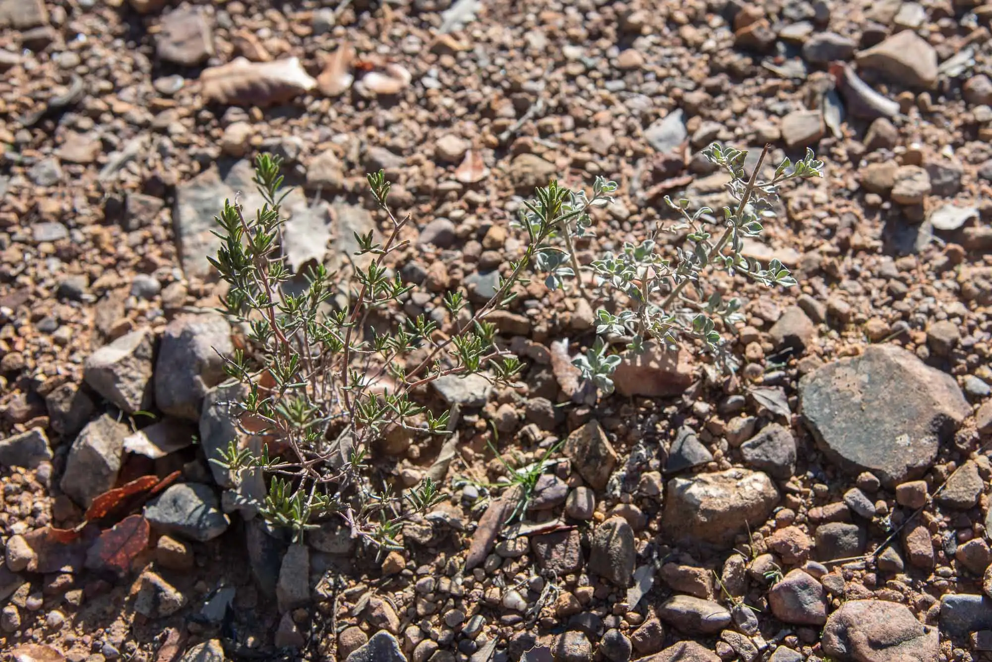
Up here heathland rules. Spanish heath (Erica australis) is abundant in the high areas and flowers early, between February and March. In the damper places there are rockrose thickets of gum rockrose (Cistus ladanifer) and poplar-leaved rockrose (Cistus populifolius).
Heather in flower.
Scrub on the path.
Heather.
A bush of the scrub.
Cistus umbellatus var. viscosus and Halimium ocymoides.
5 photos
2km 1 – 2.3
Pyrenean oaks and cork oaks
Going down to the river we cross a young Pyrenean oak wood: its trees are resprouts from stumps and roots, born after many trees were cut for firewood.
Here the holm oak is conspicuous by its absence, compared with other parts of the park. The blame lies with the damp westerly winds, which enter through this area and bring more rain and less continentality. In that environment the cork oak competes better and gains prominence. In the colder valleys, running north–south, and in other milder ones, running west–east, the Portuguese oak and the Pyrenean oak displace the holm oak: they cope better where the soil is easily waterlogged10.
Dense cork oak wood on the slope.
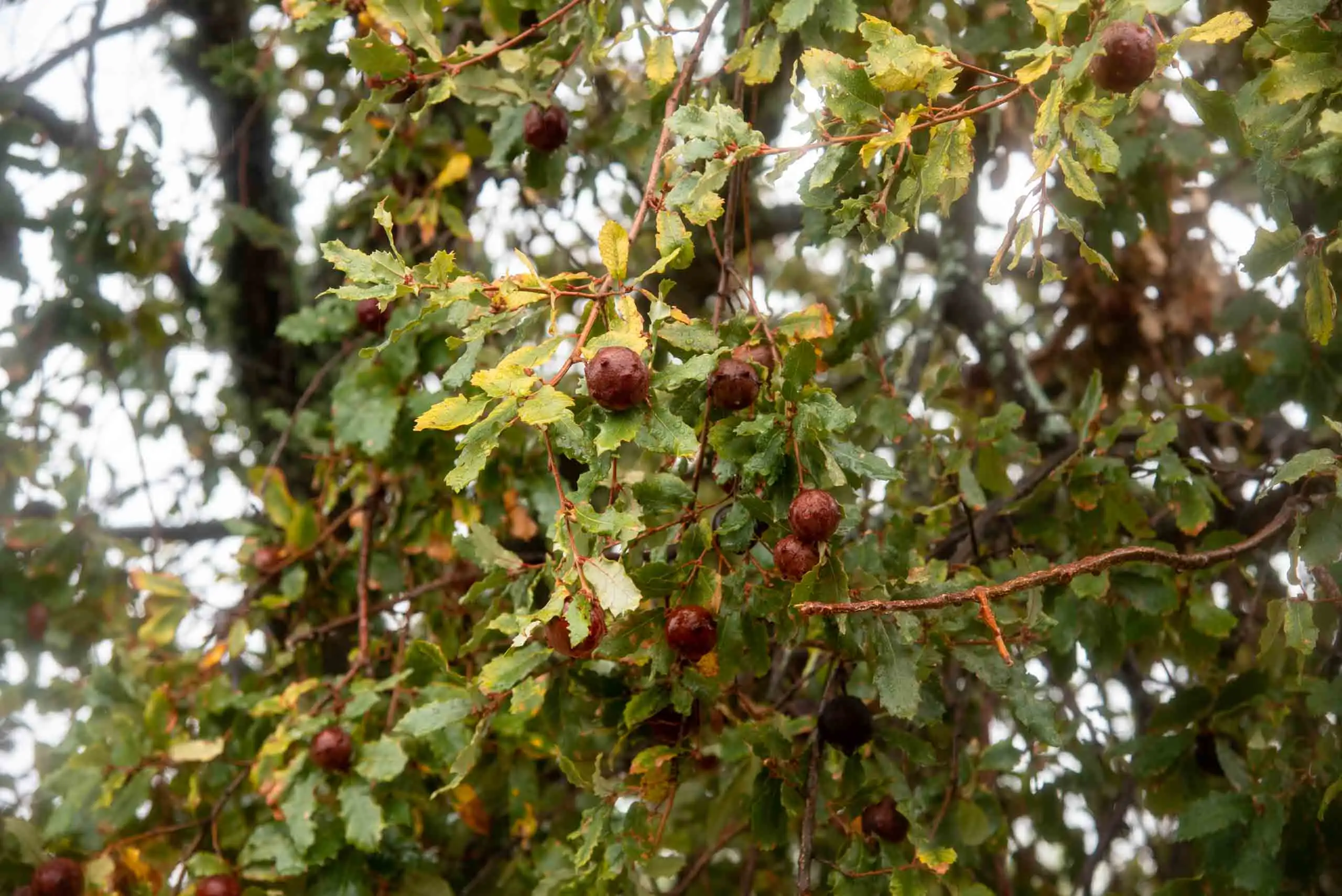
Leaves and galls.
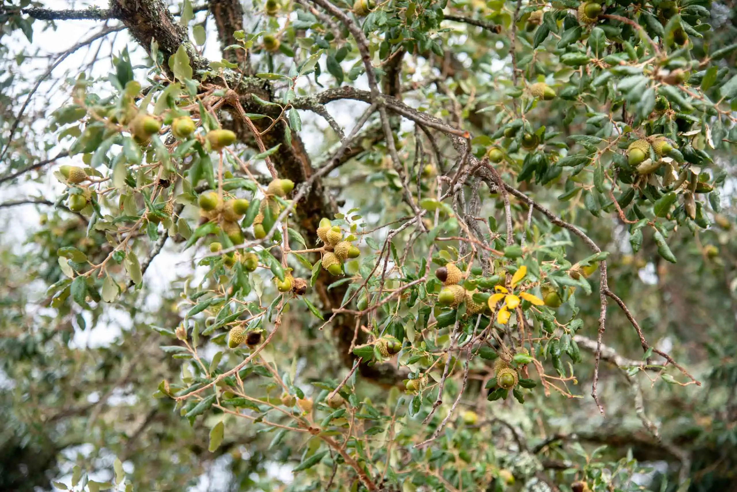
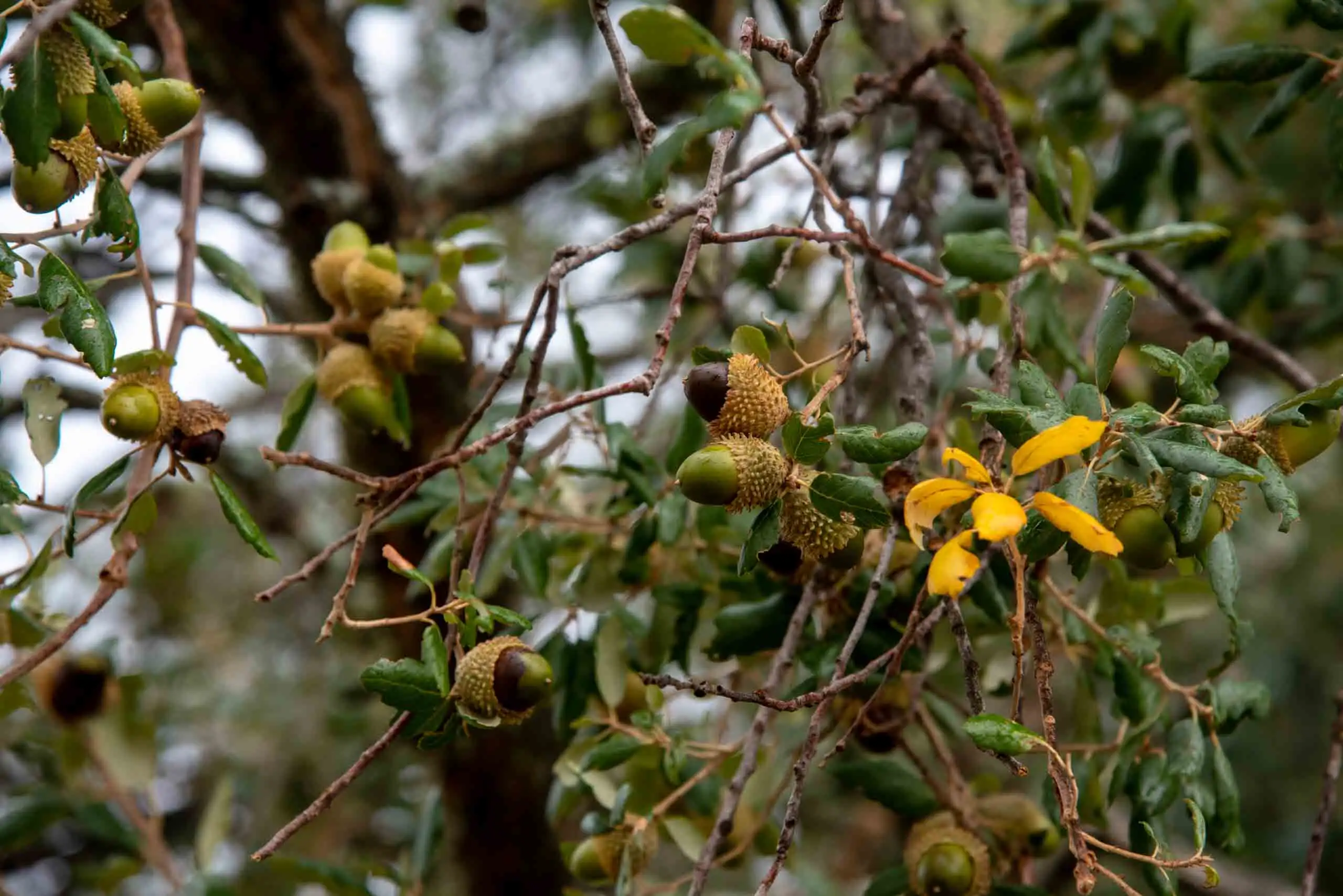
Branches with acorns.
Acorns.
Trees of the slope.
In the woodland on the slope.
6 photos
The woodland has been worked for centuries. Some charcoal clamps remain from charcoal burning; cork was also taken from the cork oaks, firewood from the Pyrenean oaks and fodder from the ash trees, and livestock was raised.
3km 2.3 – 3.3
The river and the pollarded ash trees
In the valley bottom are the ash trees, big and thick-trunked because their branches were pruned, the trasmoche (pollarding), to obtain the ramón: thin branches and leaves used to feed livestock when green grass was scarce. The ministry has a document on wood pastures that explains the ramón of each species11.
1The ash treeAn ash tree grows beside the stream, with its whole crown.
2PollardingThe crown is cut off at a certain height, out of the reach of livestock.
3The ramónThin branches resprout. Every few years they are cut, and their leaves feed the livestock when green grass is scarce.
4A trunk centuries oldCut after cut, the trunk thickens and the head fills with knots: this is what the big ash trees of the path look like.
The pollarding of ash trees, shown on four trees. Not to scale.
The ash and Pyrenean oak woods hardly let any light through. That is why perennial herbs grow beneath them that get ahead: they sprout and flower before the fallen leaves of the trees cover them.
On the Estena river there are alders (Alnus glutinosa), and it is one of the few rivers in the region that have them. Where the river narrows, and on the crests, live the rupicolous communities, those of rocks and rock walls: three ferns of the genus Cheilanthes, a Phagnalon (Phagnalon saxatile), pinks (Dianthus lusitanus), Italian lords-and-ladies (Arum italicum), friar's cowl (Arisarum simorrhinum), Sedum mucizonia and the rock daffodil (Narcissus rupicola). Beside the streams the Portuguese heath (Erica lusitanica) flowers.
The Estena river.
A backwater of the river.
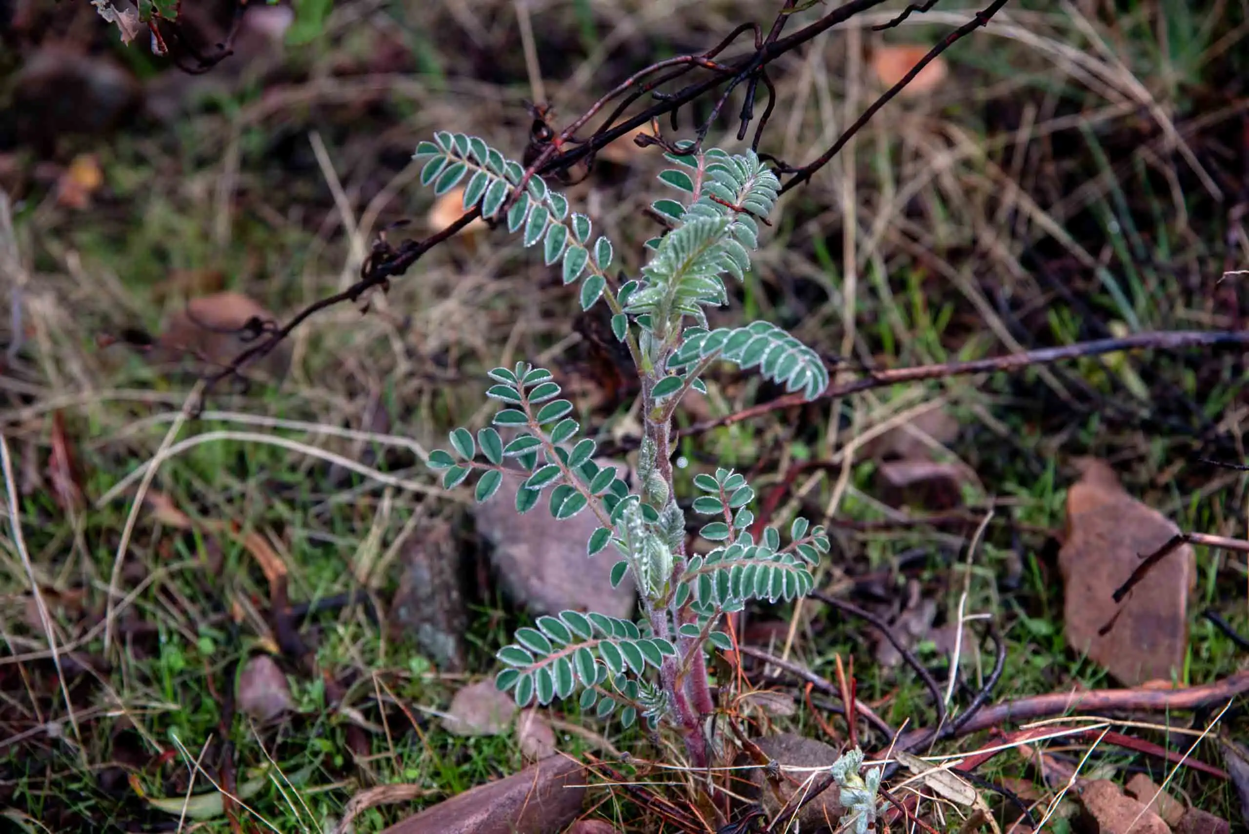
Milk-vetch (Erophaca baetica).
3 photos
Ash trees with fat trunks: centuries of having their branches cut for livestock.
4km 3.3 – 4.9
The slope
From the river comes the hard part of the path: in a kilometre and a half you climb about 200 metres. It is the stretch the park does not recommend in the hot hours12, and the one that gives this route the medium–low difficulty that the other two do not have.
With the climb the cork oaks and the replacement scrub return, with heathers, rockroses and strawberry trees, and some rarer species: blackthorns, foxgloves and lichens such as those of the genus Lobaria.
The slope, from the climb.
Replacement scrub.
2 photos
5km 4.9 – 6.3
The way back along the high ground
At the top the path returns along the ridge, by the Cuesta de las Vacas track, at about 800 metres and with the Montes de Toledo in view. Keep your eyes open, because you may see an animal. Red deer are frequent, especially early in the morning, and there are many birds of the sclerophyllous woodland and of the deciduous woodland. And, as in almost all of Cabañeros, vultures are easy to see.
That the estate is well preserved also shows in small things. In May 2023, nine photographers from the Fotografía y Biodiversidad association spent one night and two days around the Gargantilla house, the Cañaillas pond, the Alcornocal stream and the Frío river, and recorded about 400 observations of about 200 species of flora and small fauna13.
Perea García-Calvo, R., Perea Ruiz-Tapiador, D. y Giménez Velasco, G. F. (2015). Vegetación y flora del Parque Nacional de Cabañeros. Volumen I. El paisaje vegetal: ecología, conservación y rutas de interés geobotánico. Madrid: Editorial Solitario.
Rodríguez Fernández, R. (ed.) (2017). Parque Nacional de Cabañeros. Guía geológica. Madrid: Instituto Geológico y Minero de España.
MITECO. Rutas de Gargantilla and the page of each trail, with its track for Google Earth (withdrawn; copies from 2016 and 2019 in the Internet Archive).
Official track (KMZ) from the MITECO page for the Cork oak valley, 2019: it starts and ends at the junction next to the house. Measured on it, 9.5 km.↩
Official track (KMZ) from the MITECO page for the Oak–cork oak woods trail, 2019. The park’s pages give the estate gate as the starting point of all three trails, which is where you meet the guide.↩
Perea García-Calvo, Perea Ruiz-Tapiador and Giménez Velasco, <em>Vegetación y flora del Parque Nacional de Cabañeros</em>, vol. I (Editorial Solitario, 2015), the source of the vegetation in this page.↩