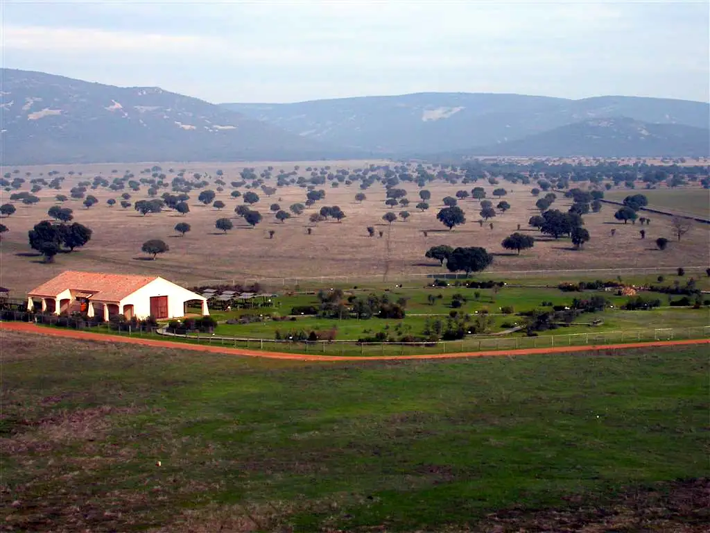
It is a semicircular route: you go down the valley to the oak wood, turn back along the firebreak, the raña and the Portuguese oak wood, and return to the oak wood to climb up the way you came.
Route profileFrom 701 to 874 m above sea level. Move your finger or the mouse over it
700 m750 m800 m850 m
0 km24681012
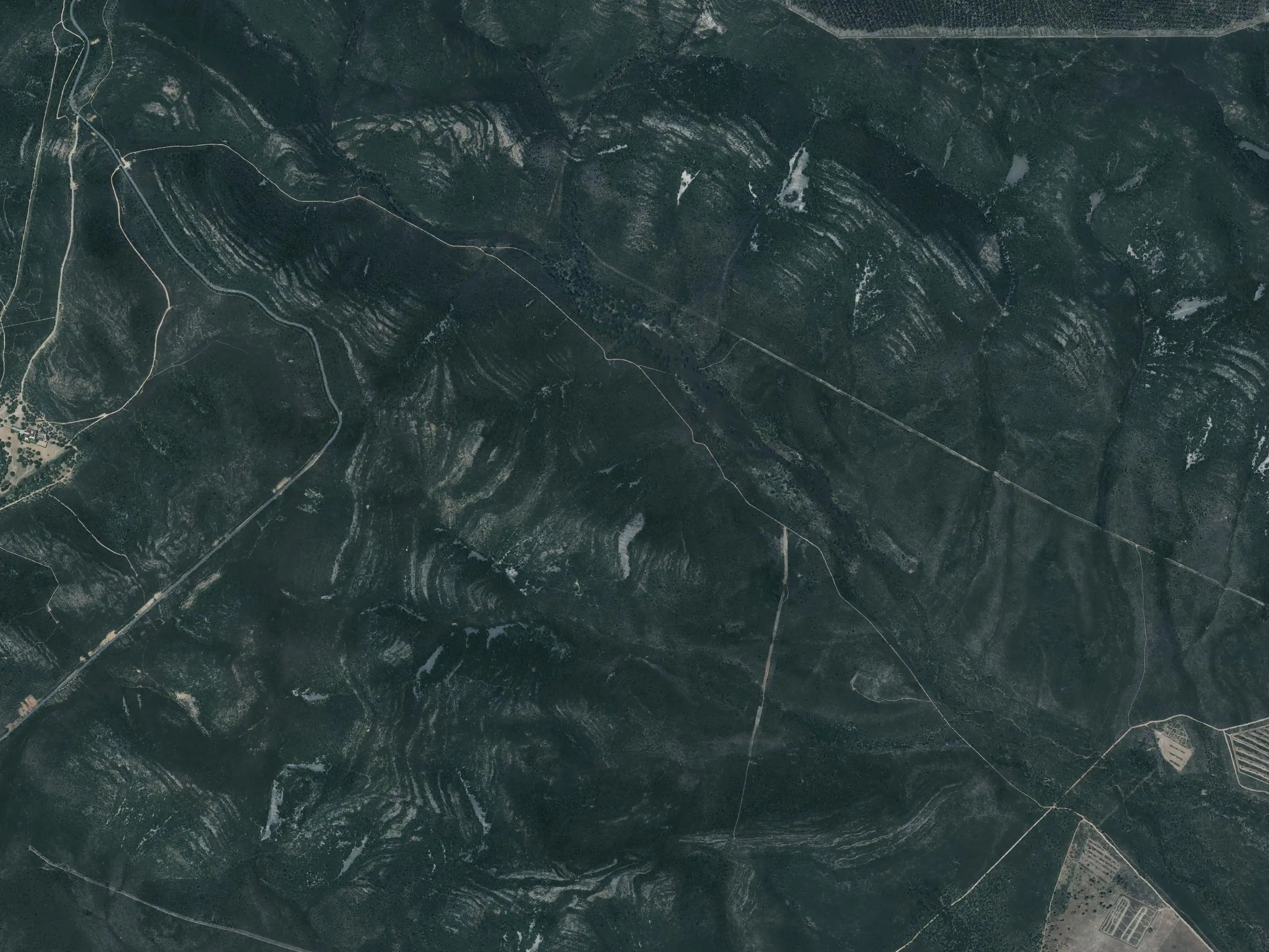
Maps: satellite and topographic maps from the Instituto Geográfico Nacional. Kilometres measured along the track (12.1 km); the park gives 13 km. Approximate heights (Copernicus model of 90 m).Download the track (GPX)
In much of the park your phone has no data. Save the route before you set off and you will have all of it, with photos, map and profile. Once in the park, open cabaneros.org in this same browser: if there is no signal, the site takes you to your saved routes. GPS works without signal: on the map, “Where am I” shows your position.
It takes a few megabytes and deletes itself after 60 days.
On iPhone, Safari deletes saved data if you go more than a week without visiting the site, so save it a few days before you go.
Practical information
AccessSelf-guided
Duration3-3 h 30 min
Distance13 km, semicircular
Ascent150 m
DifficultyMedium
Booking
Not needed.
Start and parking
Car park at km 80.5 of the CM-4017, the road from Horcajo de los Montes to Retuerta del Bullaque.
Leaflet
«Senda de la Viñuela: en busca de la humedad», for doing it as a self-guided walk, at the information points and on the park's website.
Bear in mind
Good footwear: there are stony stretches.
For seeing wildlife, the first and last hours of daylight are the best, according to the park. Official data: park information (MITECO, 2025).
Or, failing that, trainers. There are muddy areas where you can slip, especially on the first descent.
A bottle of water
It can come in handy for the climb back, which is long.
In summer, very early
I do not recommend doing the route in summer unless it is very early or you do not mind the heat: it can be long and very hot. If you venture out, do not forget sunglasses, a cap and sun cream.
In spring it is worth it
In 2025, a year of heavy rains, the park highlighted the peonies in flower along this route, together with the rockroses and the orchids1.
Binoculars
To watch wildlife: red deer, vultures and so on. Along the way it is easy to meet red deer and wild boar, and in the sky there are Griffon Vultures, Cinereous Vultures and imperial eagles2.
Stage by stage
7 stages, from car park to car park. The plan follows your reading: the light dot is where you are. The stop numbers are the wooden posts of the park leaflet.
1km 0 – 2.7Stop 1
The descent along the shady slope
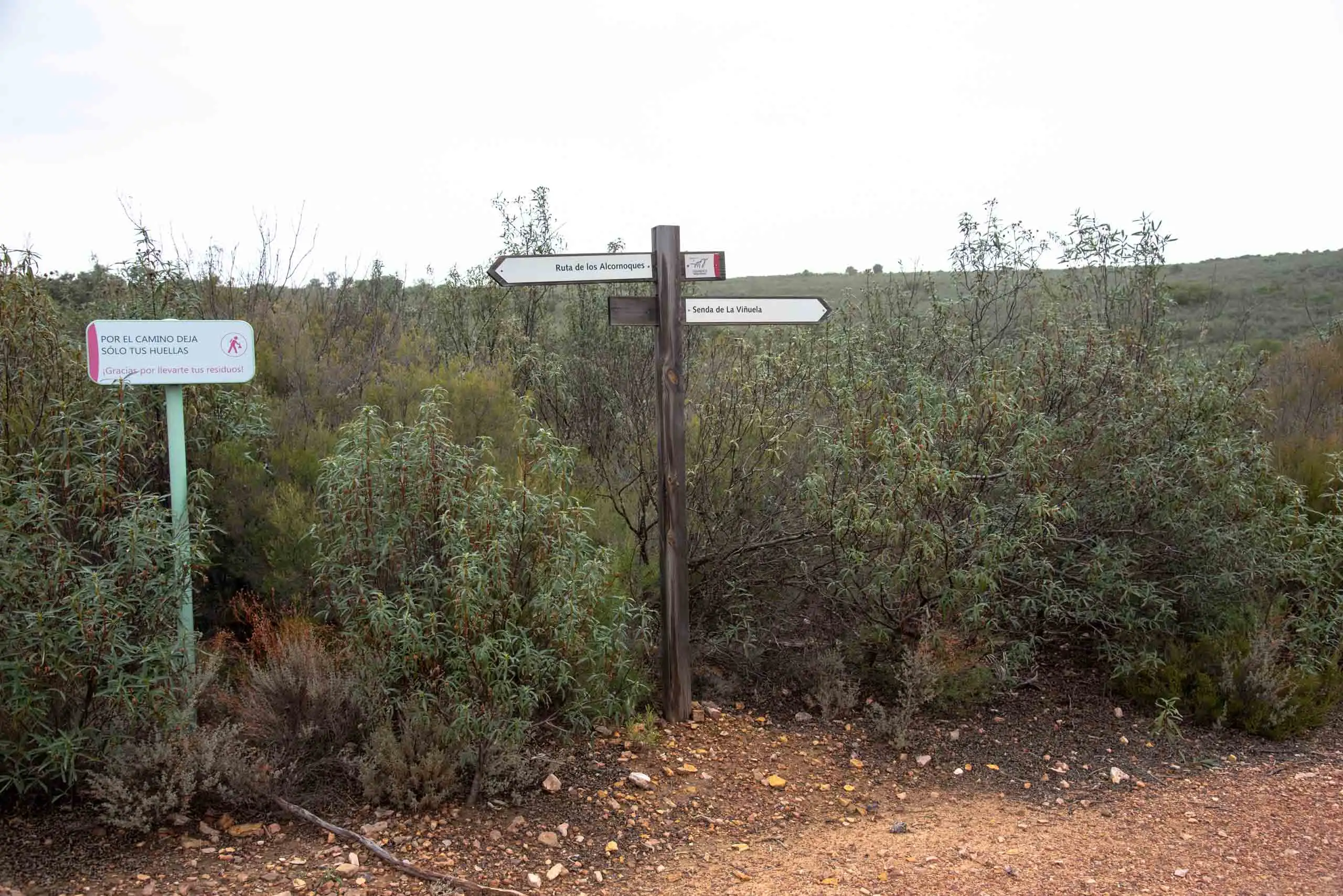
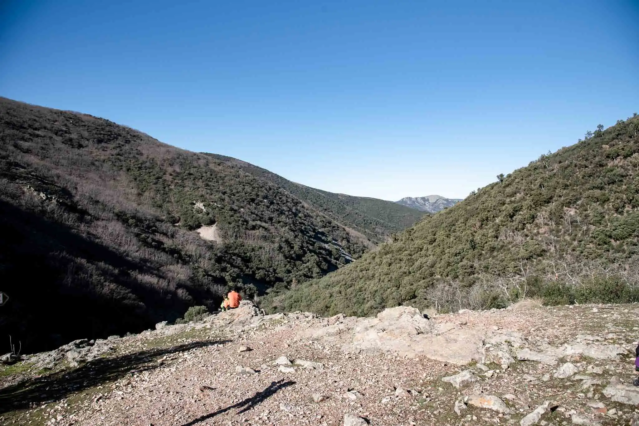
Once you have parked the car, you will see two signs: the Senda de los Alcornoques and the Senda de la Viñuela. Ours is the second.
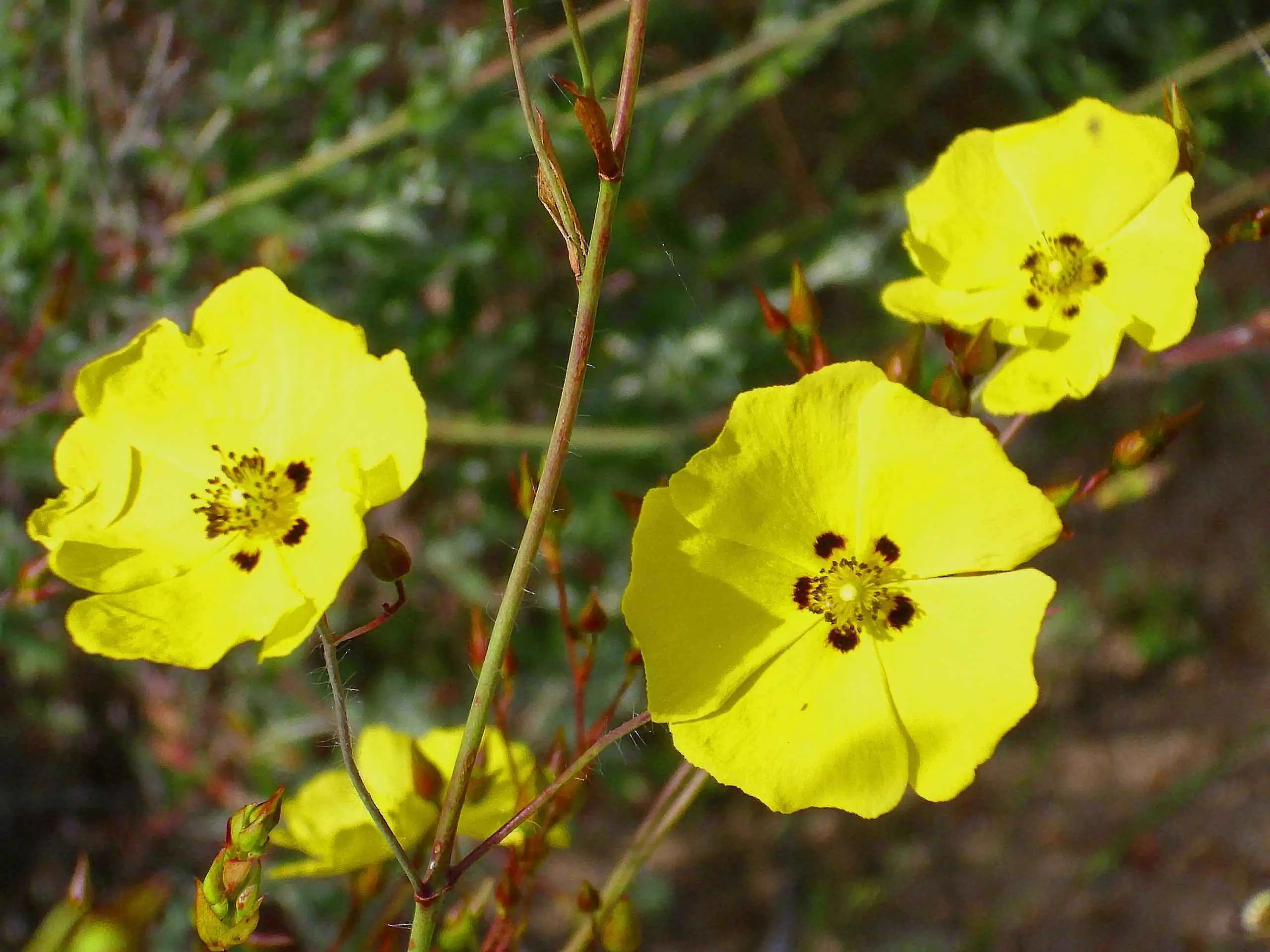
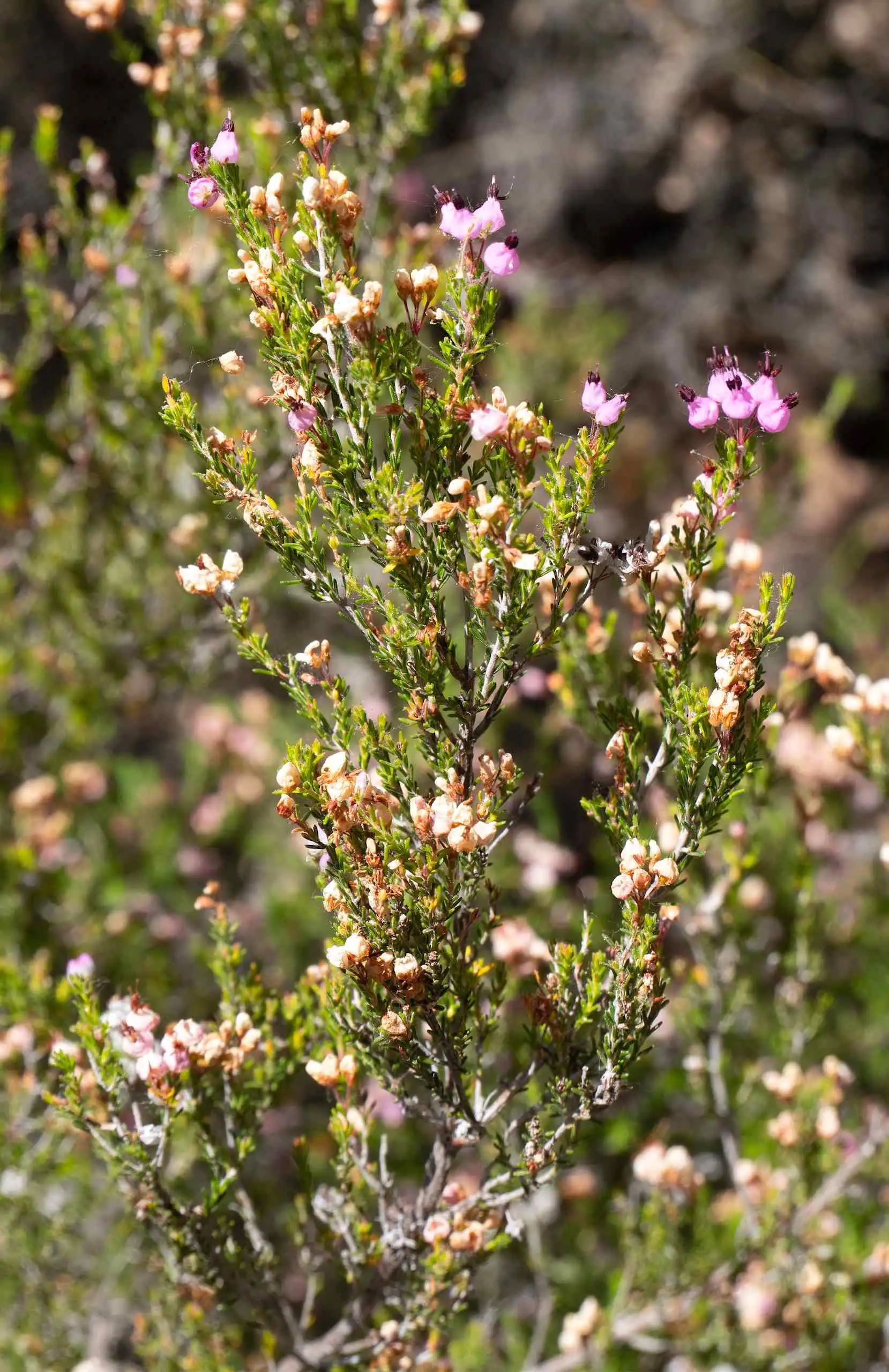
After leaving the car park, we begin to descend by the track that goes into the valley of the La Viñuela stream, at the foot of the Sierra del Chorito. In this first stretch we find heathland of Erica umbellata together with rockroses (Halimium ocymoides), very eye-catching when they flower in spring.
The posts of the two paths, beside the car park.
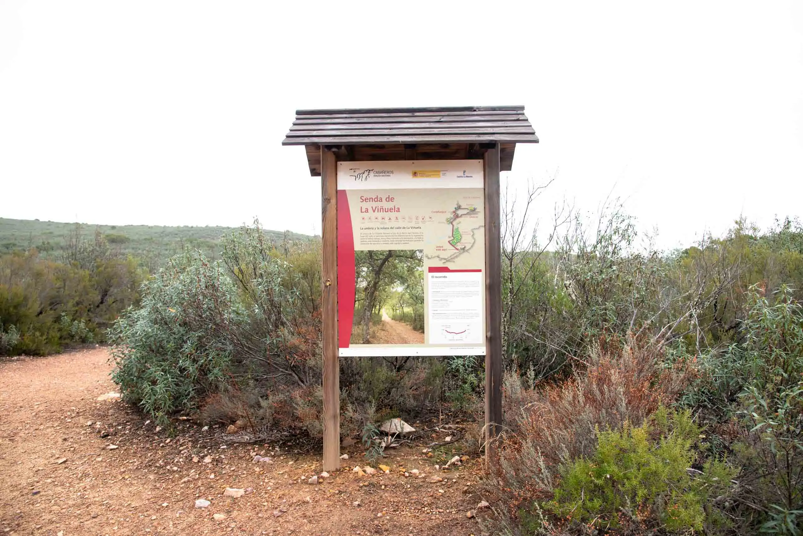
The starting panel.
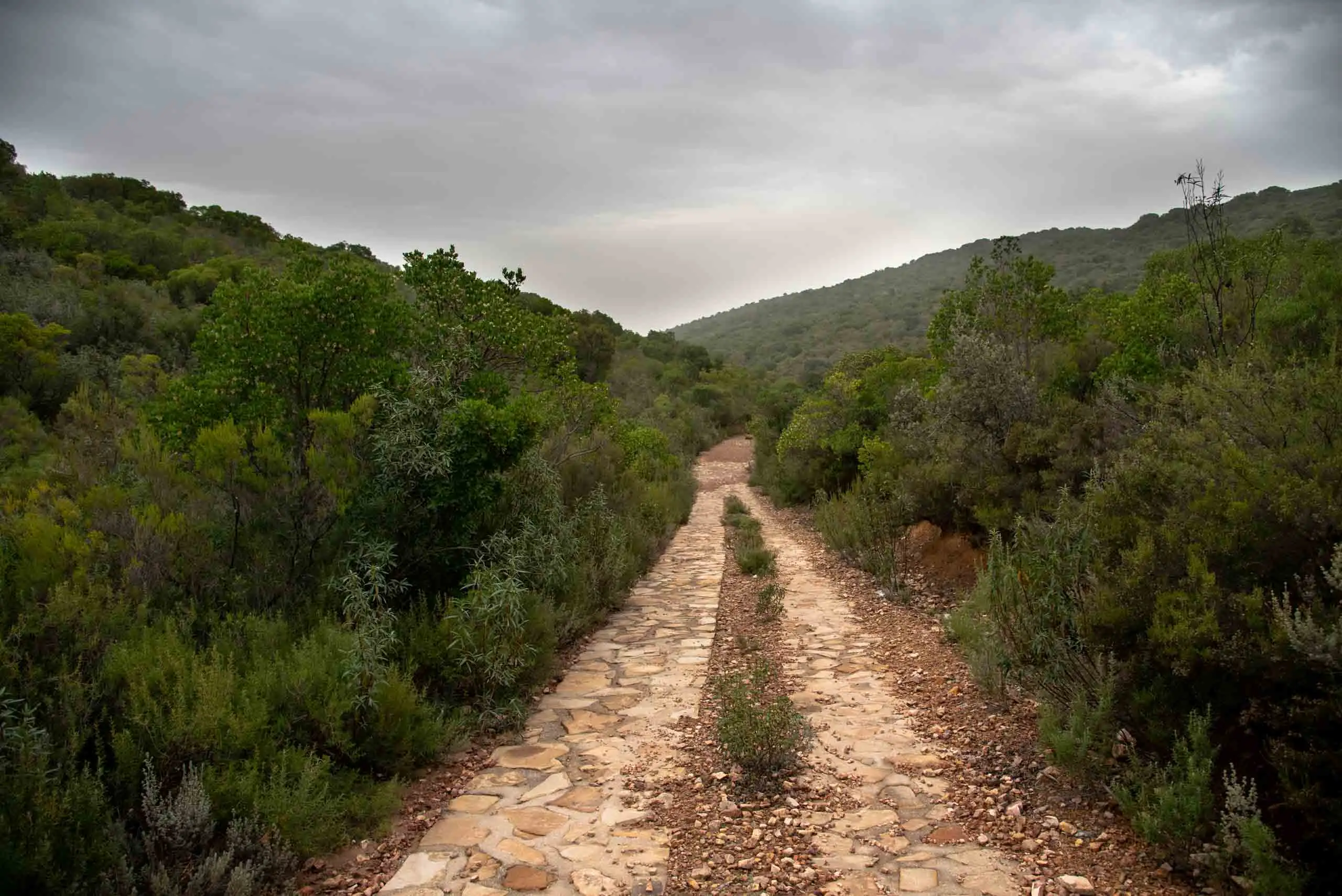
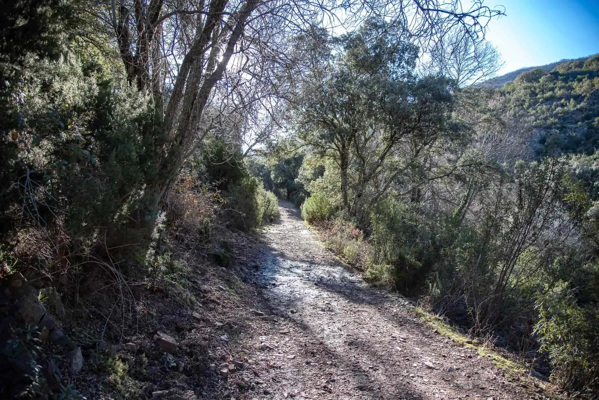
The track goes down towards the valley.
Rockrose (Halimium ocymoides).Javier Martín, CC BY-SA 3.0, via Wikimedia Commons
Erica umbellata.Luis Fernández García, CC BY-SA 4.0, via Wikimedia Commons
5 photos
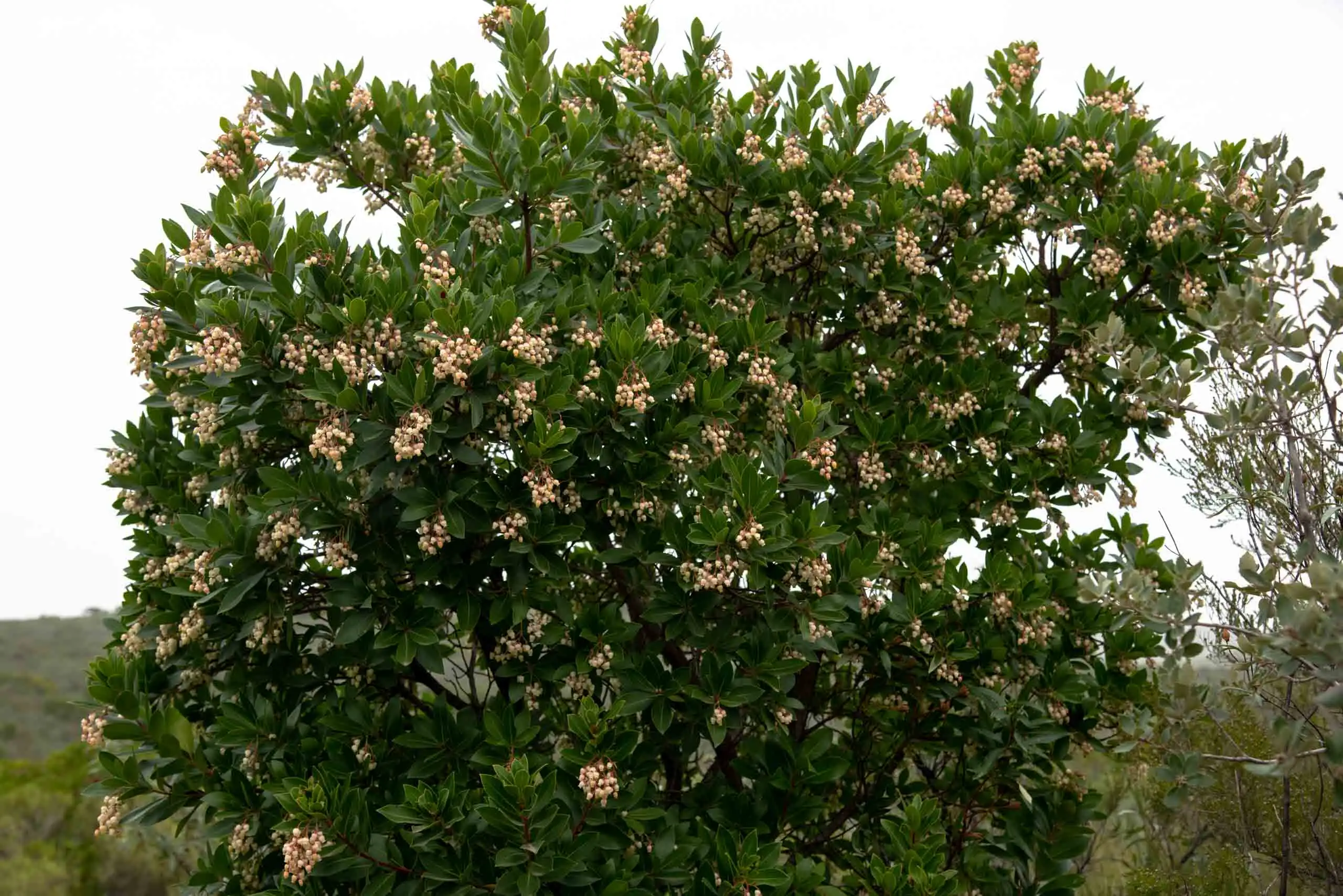
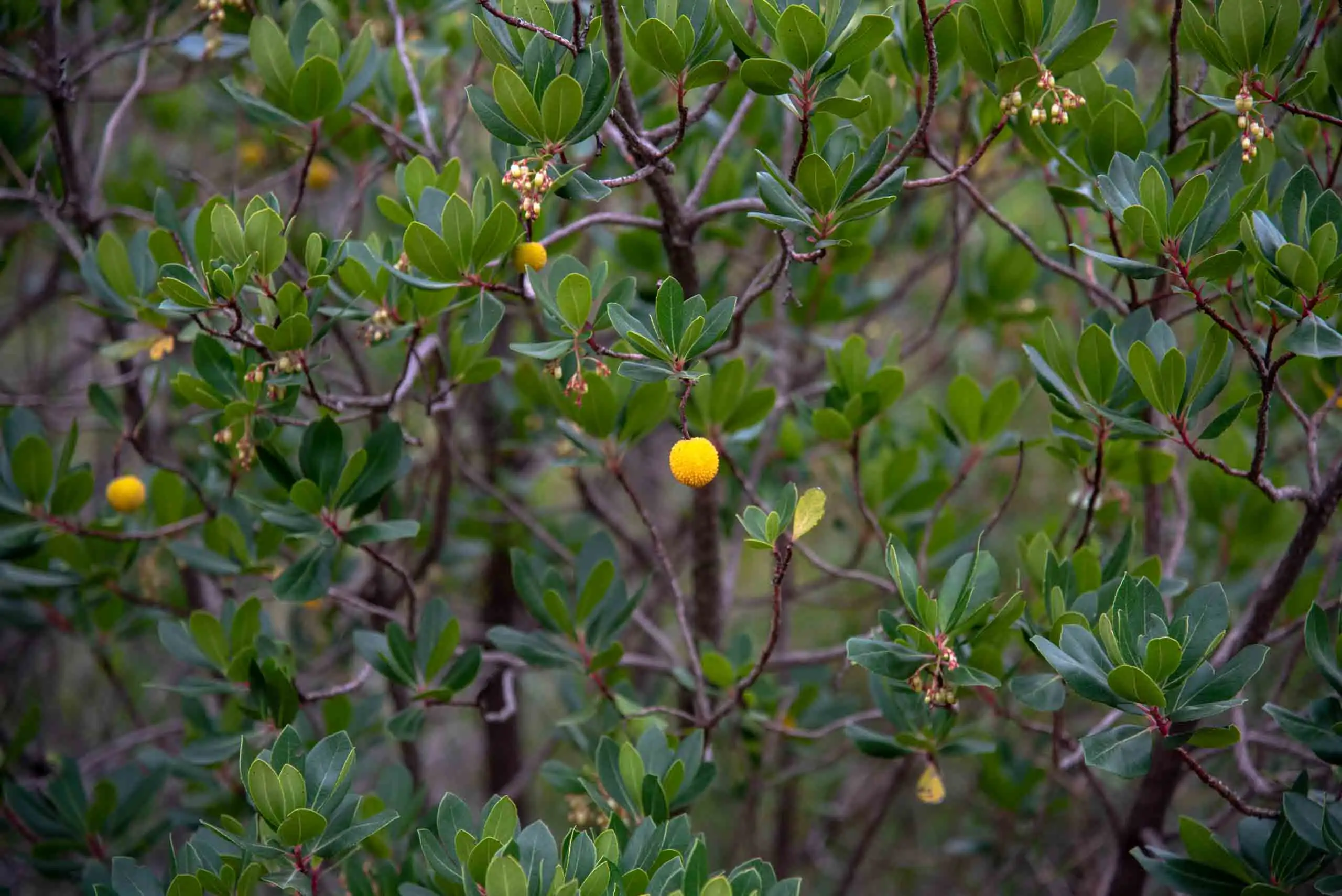
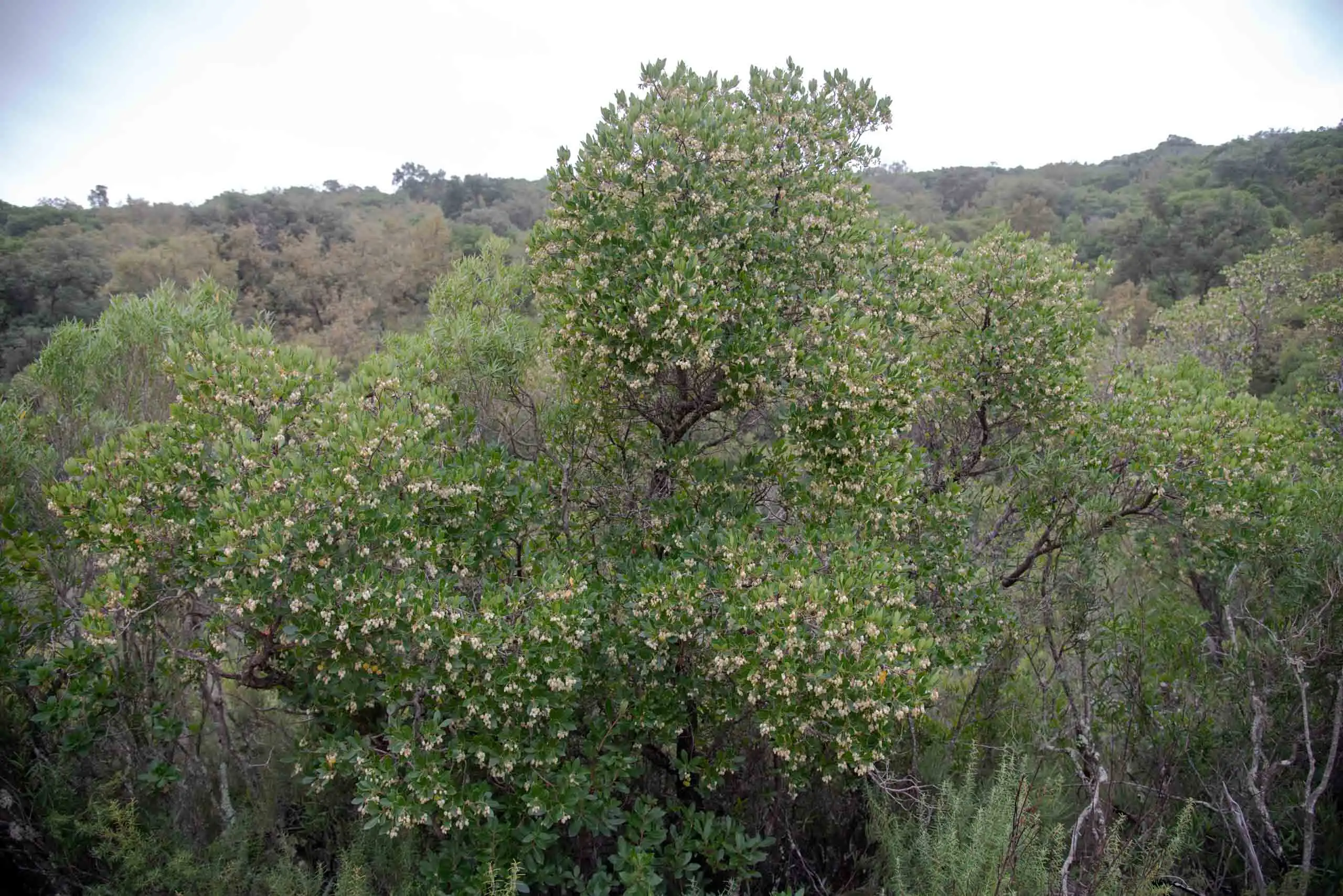
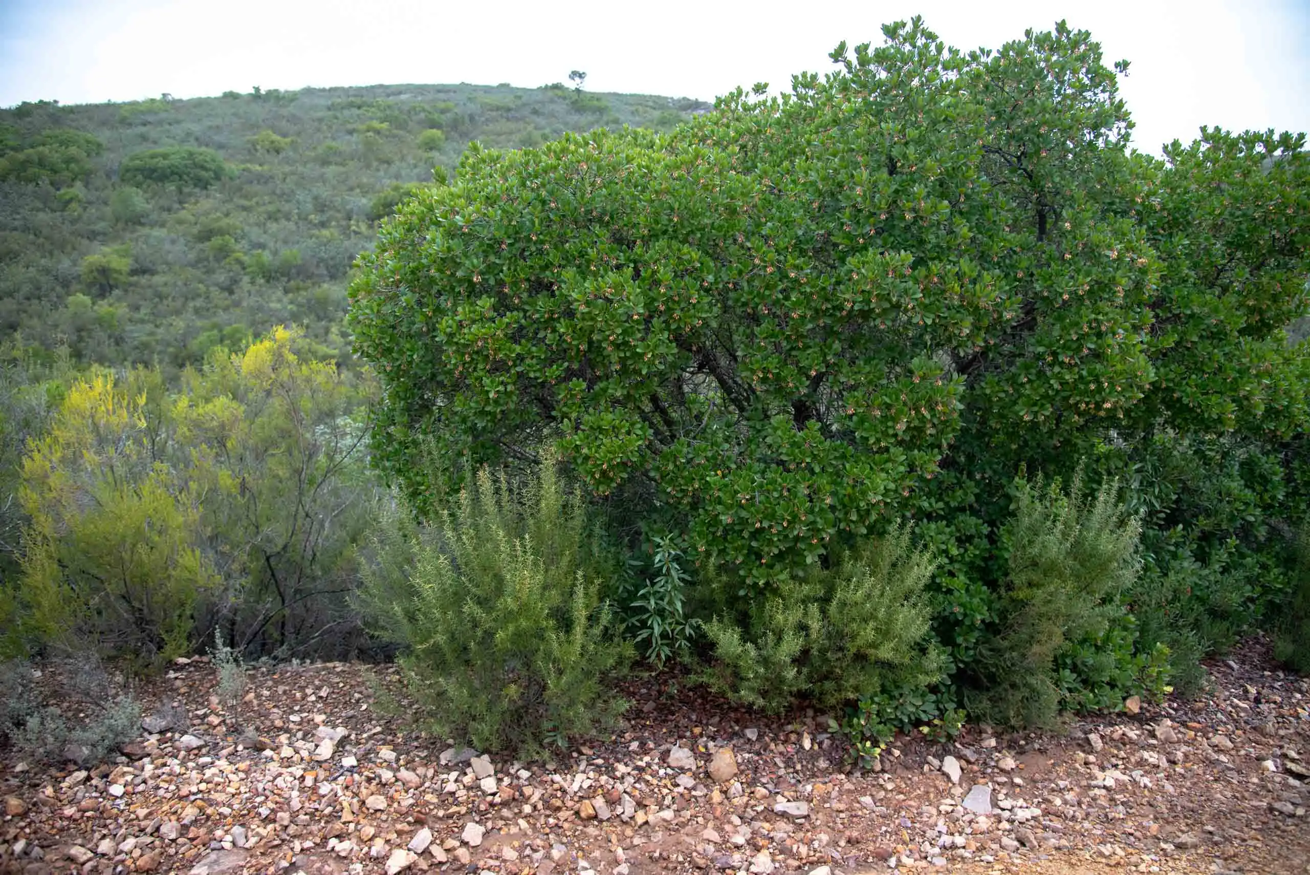
As we lose altitude, we enter the shady side of the valley and begin to see on our right lush vegetation, where a dense understorey of strawberry trees takes centre stage; some reach tree size. It is a sign of a well-preserved woodland3.
Strawberry tree in flower.
Strawberry tree with its fruit.
Some strawberry trees grow into real trees.
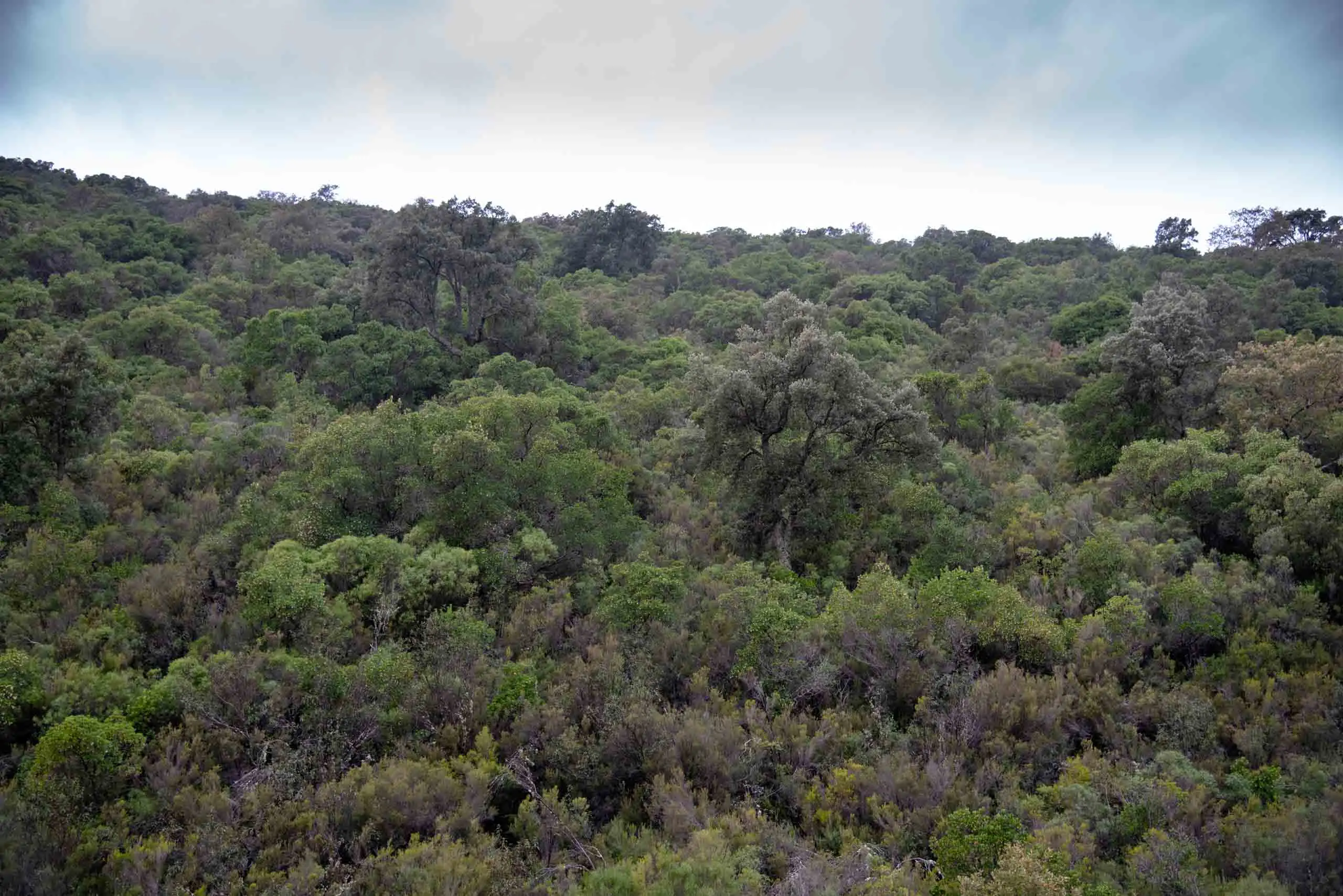
The Mediterranean woodland of La Viñuela is among the best preserved in the world. Shady slope.
4 photos
The «umbrías» are slopes facing away from the sun, in the zone of orographic shadow (hence the name: umbría means shaded). They are cooler and damper, and the woods that need more water than the holm oak wood settle in them: at low altitude, the Portuguese oak and the cork oak. Between 700 and 900 metres, where the valley runs, the holm oak wood has disappeared4.
Shaded slope (umbría). Facing away from the sun: cooler and damper. Portuguese oaks and cork oaks, with a dense understorey of strawberry tree, mock privet and heathers.
Valley floor. Where the water gathers: Pyrenean oaks, round-headed club-rush and the peat bogs.
Sunny slope (solana). Facing the sun: drier. Strawberry trees with scattered cork oaks, surrounded by rockrose and heather thickets.
The sun always passes through the south, lower in winter and higher in summer: the slope that turns its back on it stays in the shade. Touch each zone.
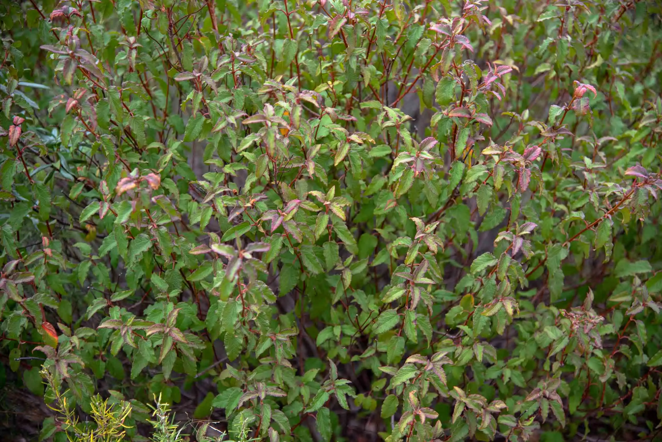
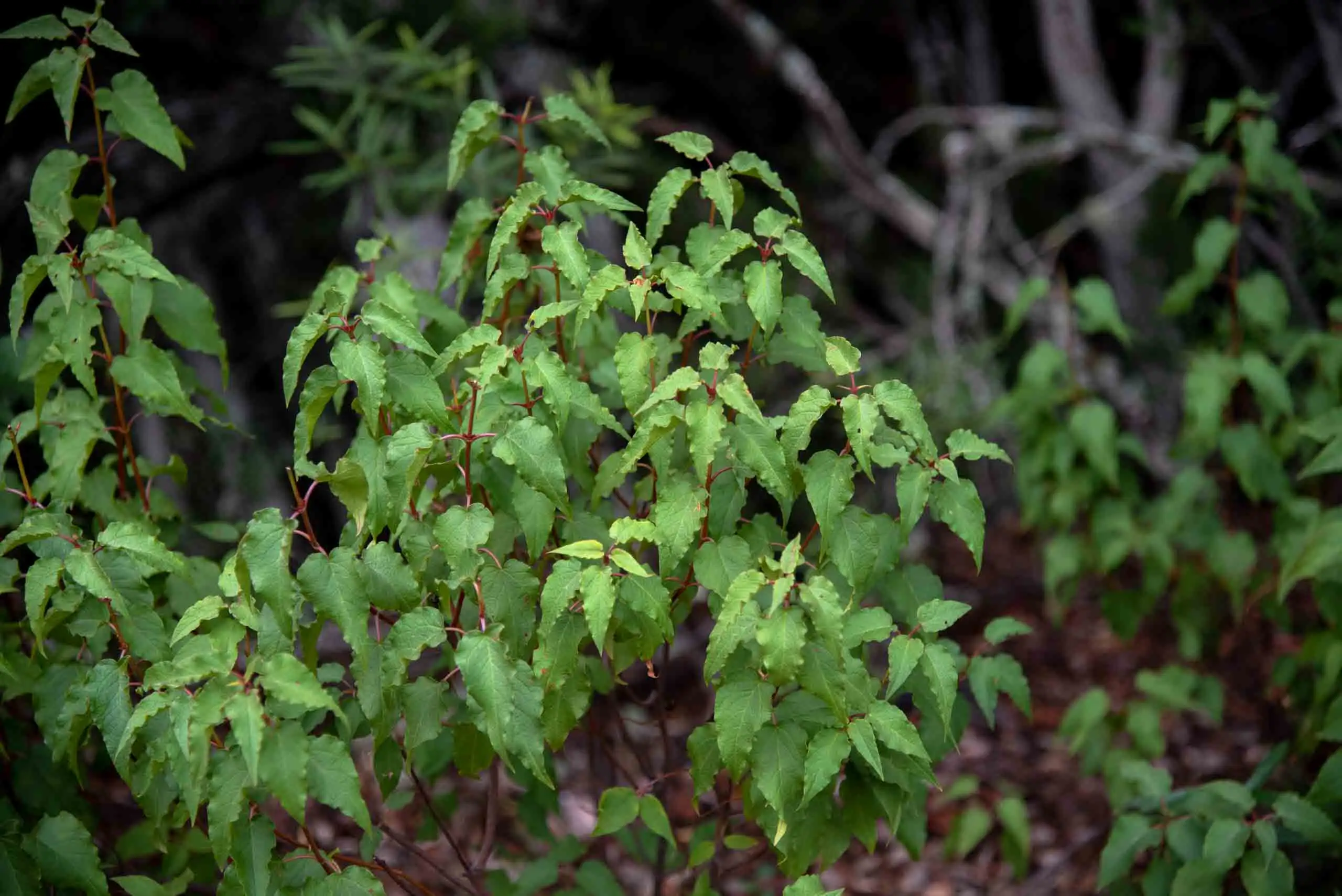
These species appear accompanied by an understorey at a mature scrub stage, made up of mock privet, several kinds of heather and rockrose, strawberry tree and spurge flax, witnesses of deep earlier degradation.
Understorey of the shady slope.
More understorey, in the shade.
Spurge flax.
A two-metre strawberry tree with rockrose, heather and rosemary.
4 photos
2km 2.7 – 3.3Stop 2
The oak wood and the peat bog
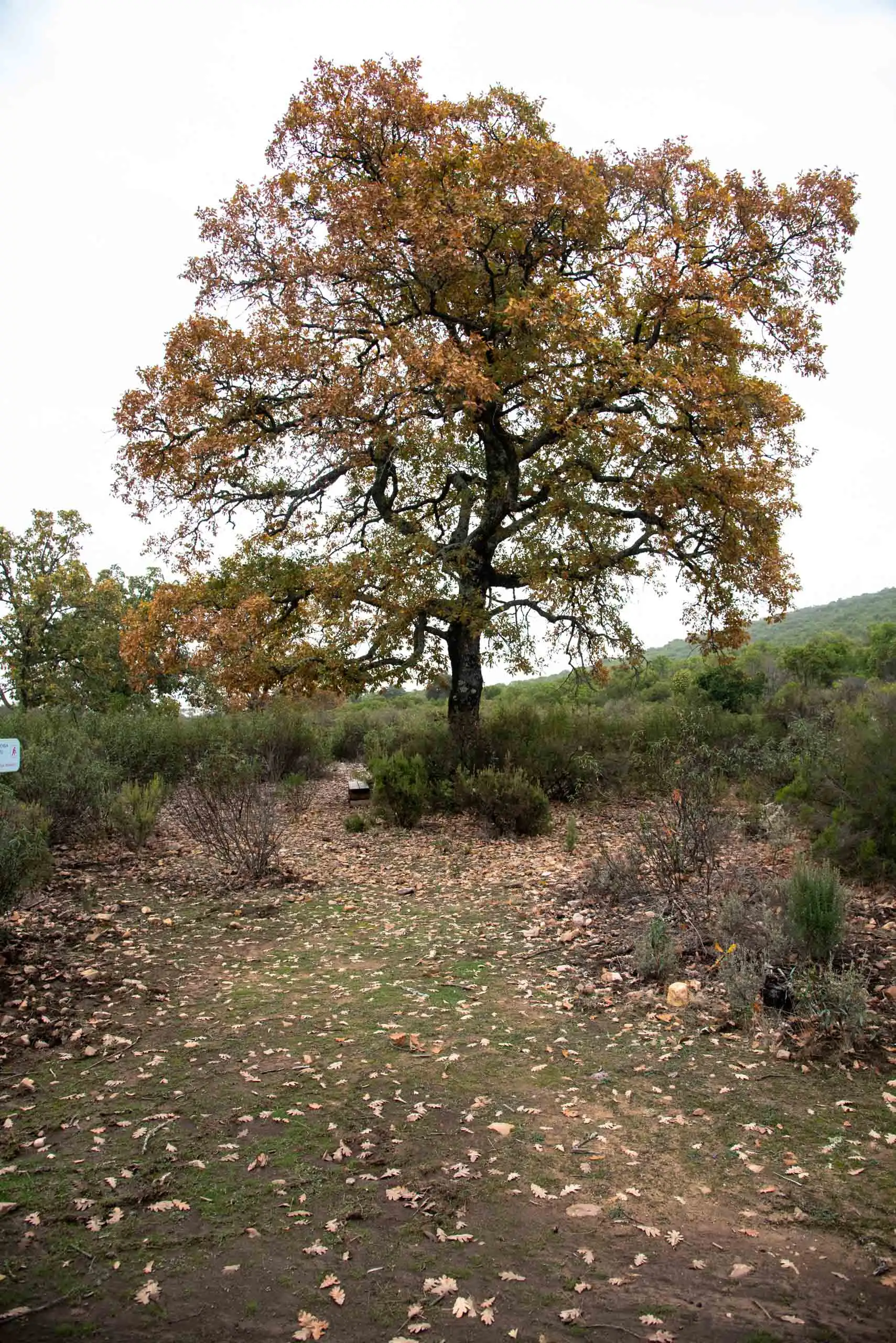
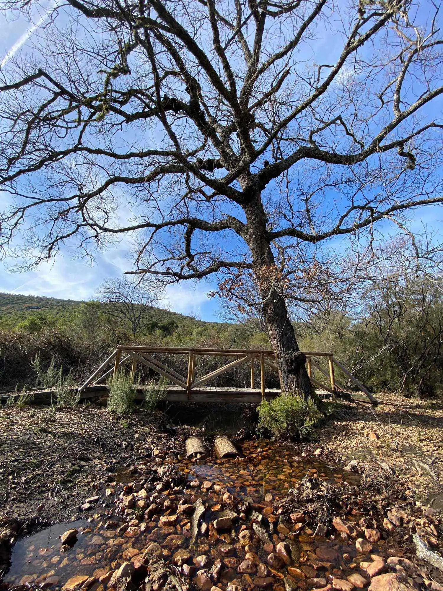
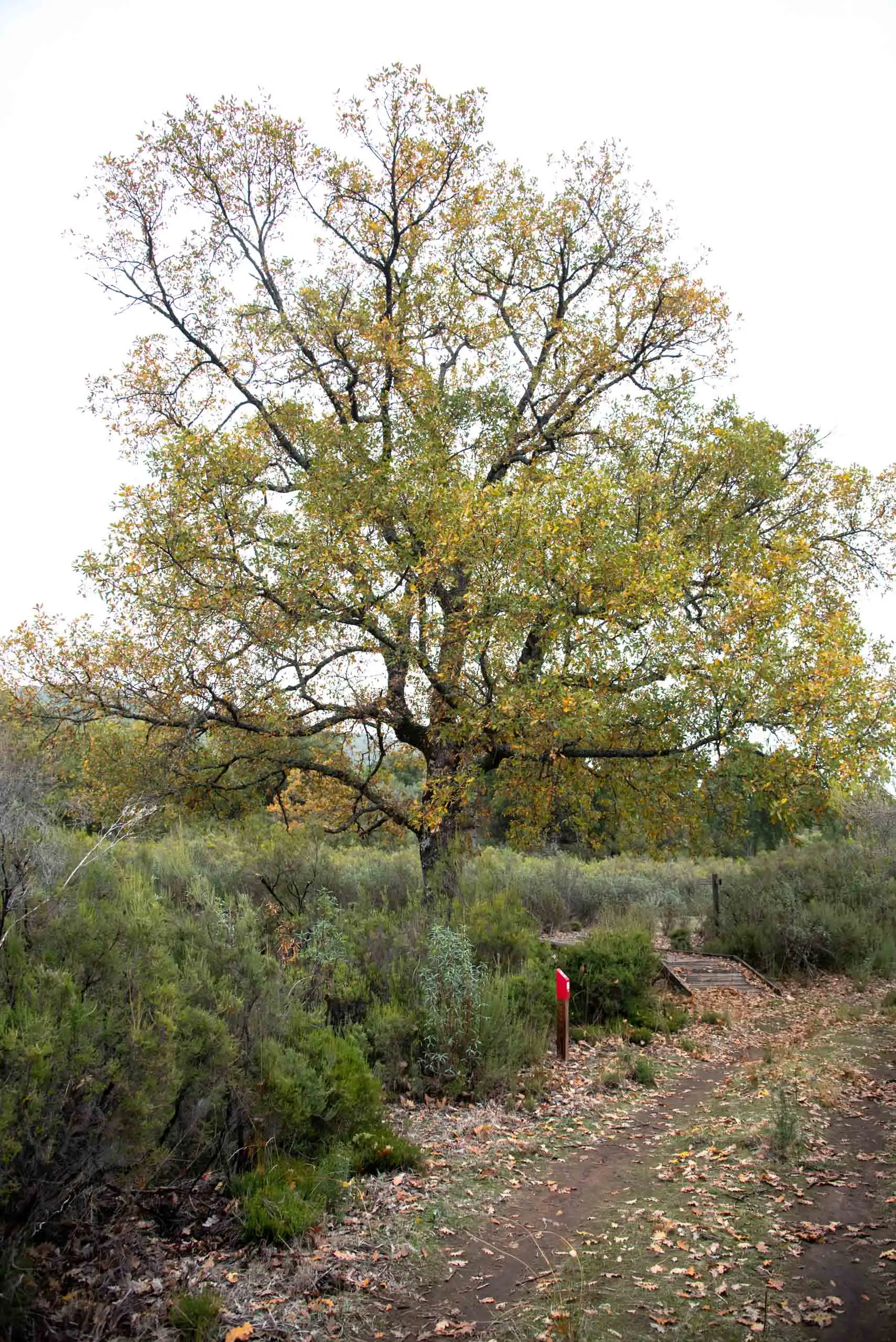
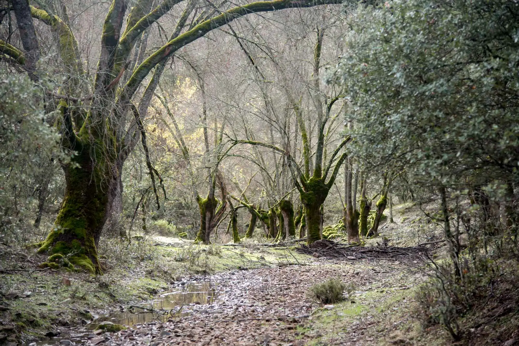
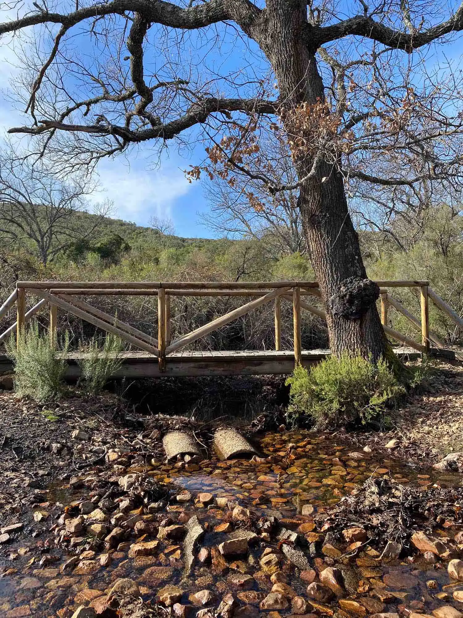
After about 3 kilometres, roughly 45 minutes, we reach the Viñuela oak wood, with some centuries-old Pyrenean oaks5. It is a sub-thermophilous Pyrenean oak wood on the valley floor. The Pyrenean oak (Quercus pyrenaica) tends to replace the holm oak in the mountain areas of the southern half of the Peninsula. In Cabañeros, the Pyrenean oak, or melojo, looks for deep valleys with more moisture, and may appear together with round-headed club-rush.
A Pyrenean oak (Quercus pyrenaica).
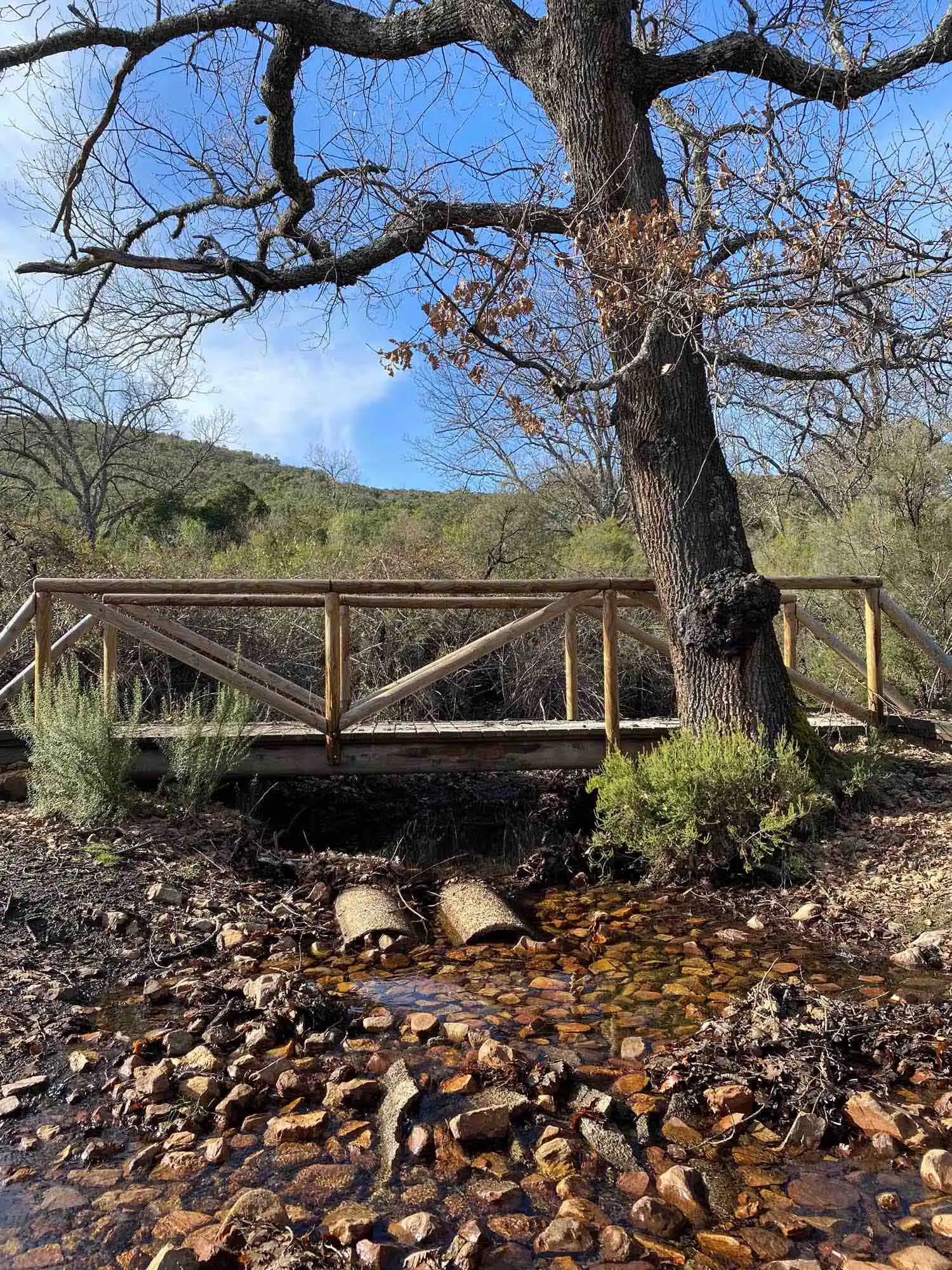
The famous Pyrenean oak beside the little bridge.
Pyrenean oak at La Viñuela.
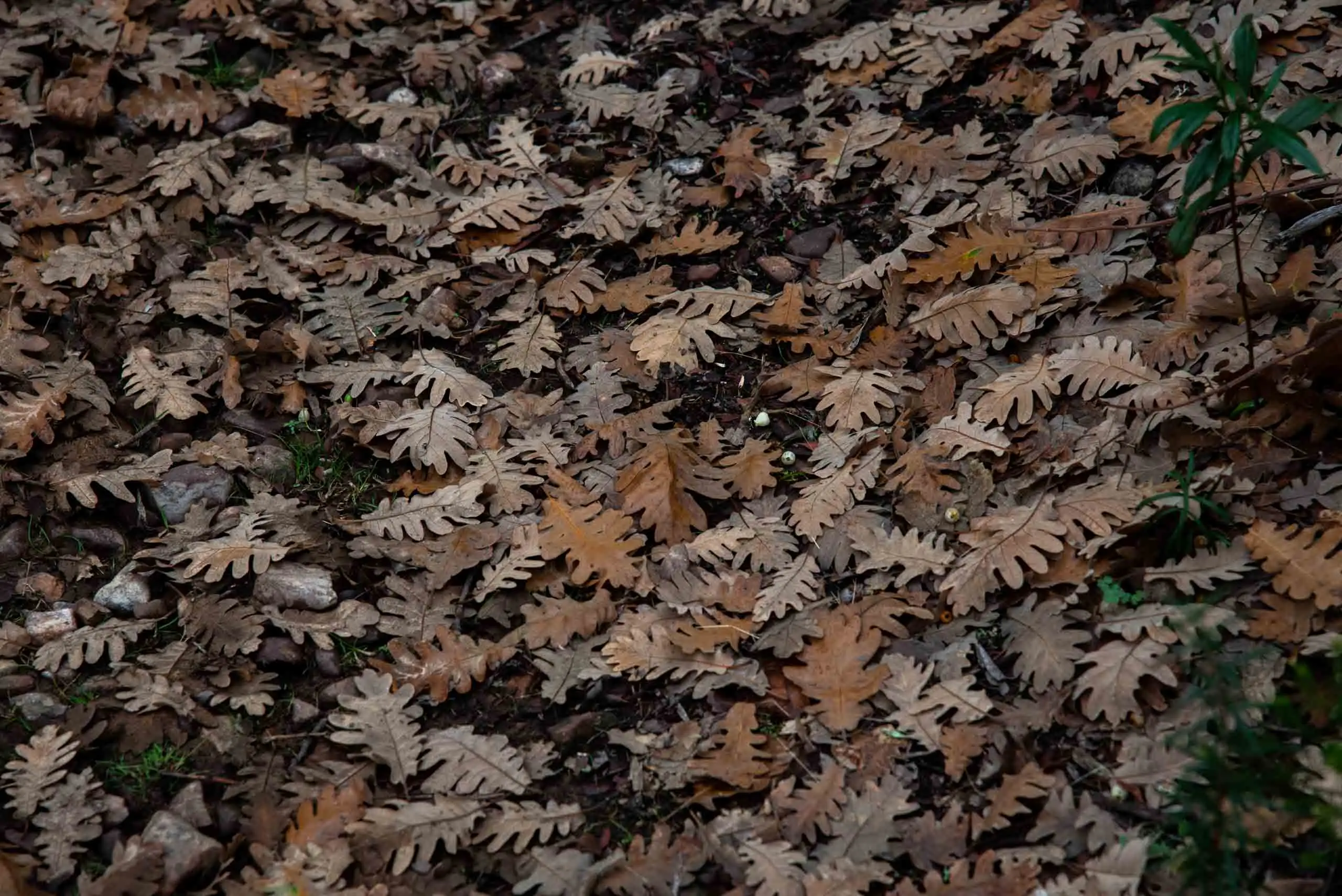
Fallen Pyrenean oak leaves.
Pyrenean oak leaves.
5 photos
Inside the Pyrenean oak wood we find one of the most characteristic peat bogs of the park, fenced off in 2005 for its protection, which has developed brambles and besom heath (Erica scoparia).
The site offers two recognisable sectors: the western, dominated by Erica tetralix and Molinia caerulea, and the eastern, in which the latter predominates.
Centuries-old Pyrenean oaks and a peat bog fenced off since 2005.
3km 3.3 – 6Stops 3 and 7
The firebreak
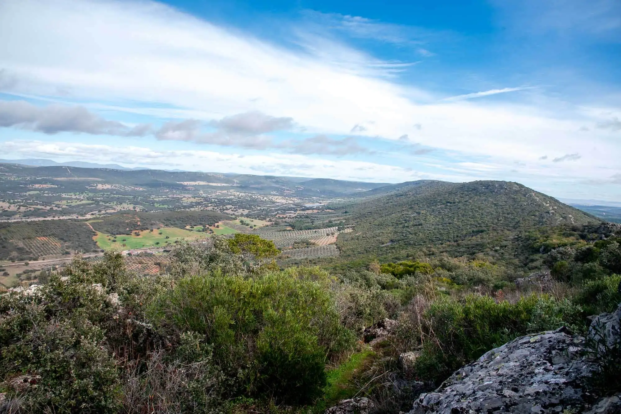
A short rise takes us out of the oak wood onto the firebreak that runs along the sunny slope of the mountain, and the views open up over the Cabañeros raña. We follow it for about 2.5 km, with stony stretches6.
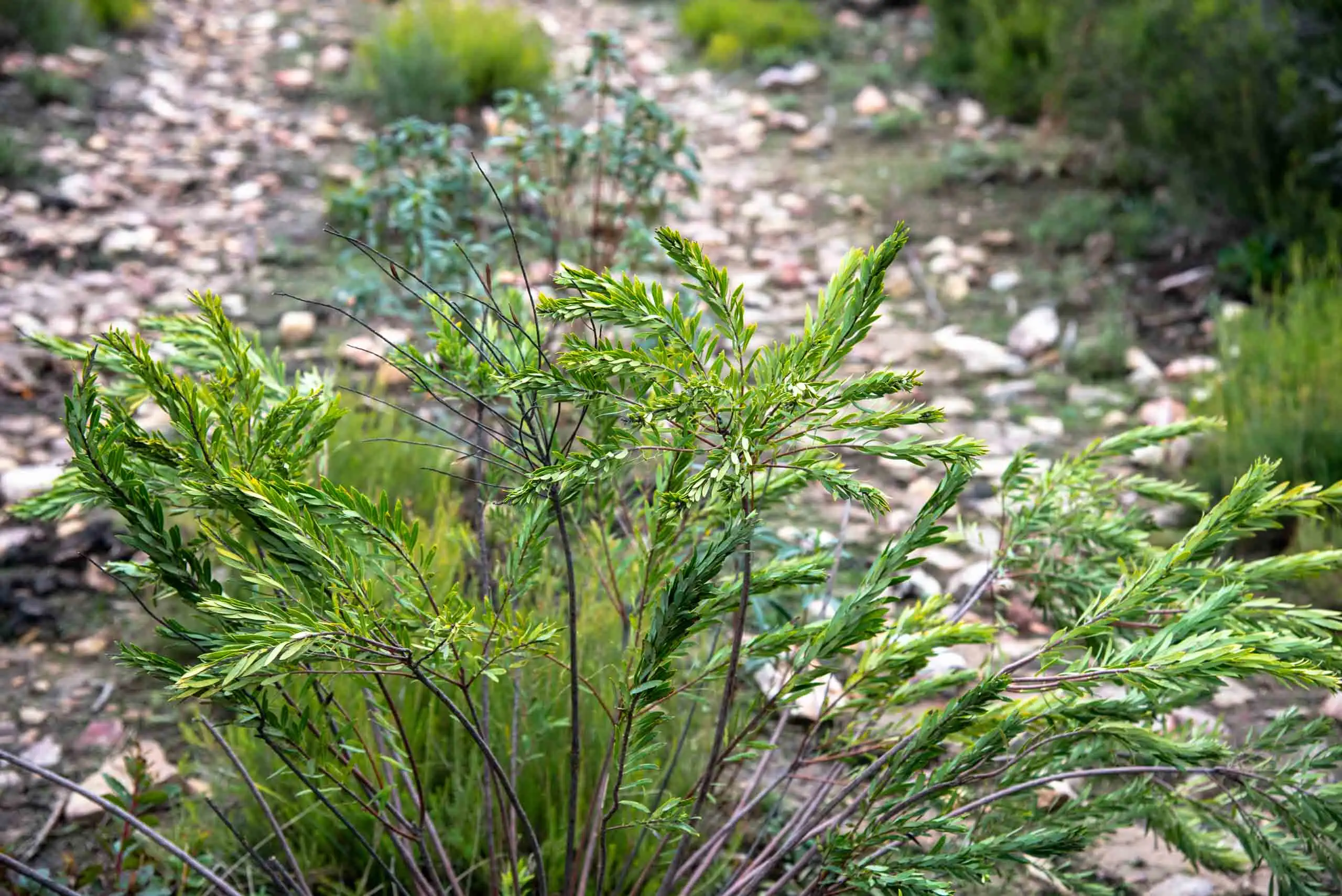
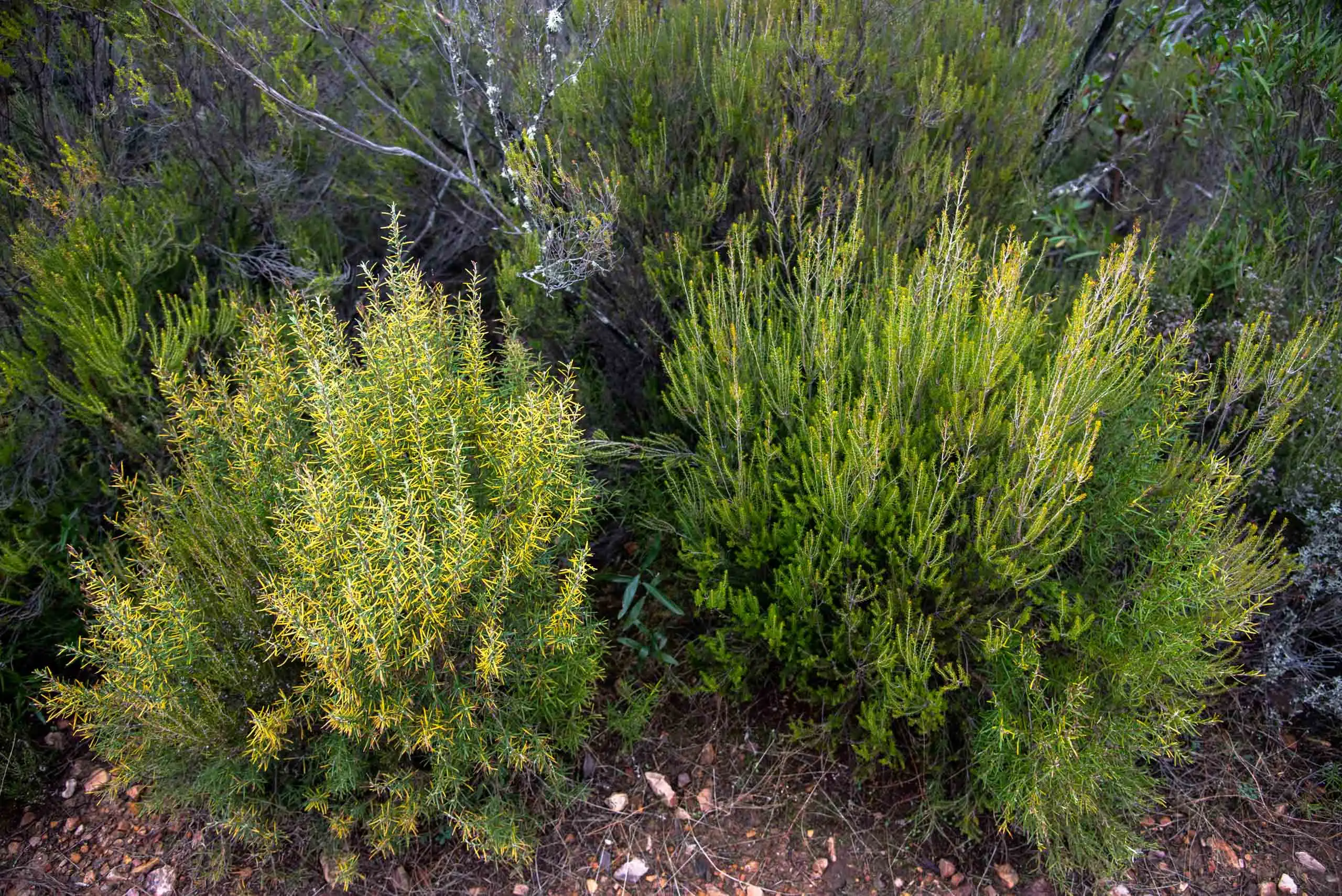
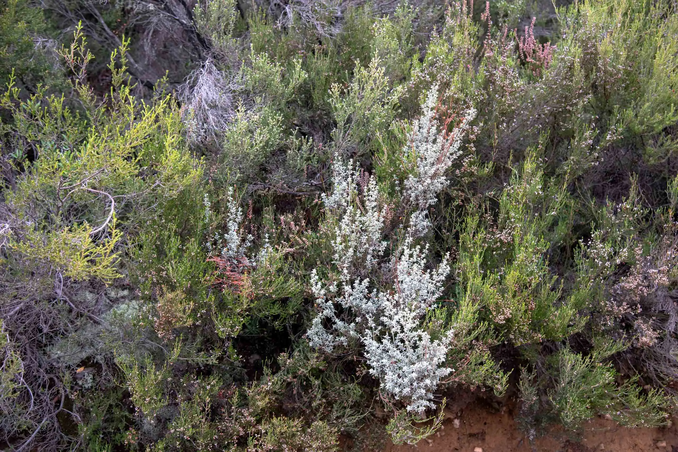
On the firebreak you can see the young bushes, the first stage that will gradually turn into dense scrub and, later, into a new Mediterranean woodland. This stage is made up of sparse, aromatic or shrubby plants, such as rosemary, thyme, rockrose, spurge flax, mock privet and heathers, which form large thickets.
1Open groundAfter felling or a fire.
2Aromatic bushesRosemary, thyme, rockrose, spurge flax, mock privet and heathers. This is what you see on the firebreak.
3Dense scrubThe bushes close up and give shade and soil.
4Mediterranean woodlandTrees grow beneath the scrub.
Heathers are shrubs 1 to 4 m tall, favoured by damp environments and siliceous soils, like the park's quartzites. There are several species in Cabañeros and the best way to tell them apart is by their flower. Thanks to their density and food richness, they are the best resting places for red deer.
Rosemary and heather.
Heather on the firebreak.
2 photos
We keep going along the path, leaving behind streams such as Los Canarios or Trinchapanetes, and entering places with a long hunting tradition such as Carrascalito or the Morra de Pedro Ruiz. Little by little Spanish marjoram (Thymus mastichina) and dwarf heath (Erica umbellata) begin to colonise the soils, and on the neighbouring sunny slopes abundant strawberry trees with cork oaks stand out, surrounded by rockrose and heather thickets.
4km 6 – 6.7Stops 4 and 5
The raña and the Portuguese oak wood
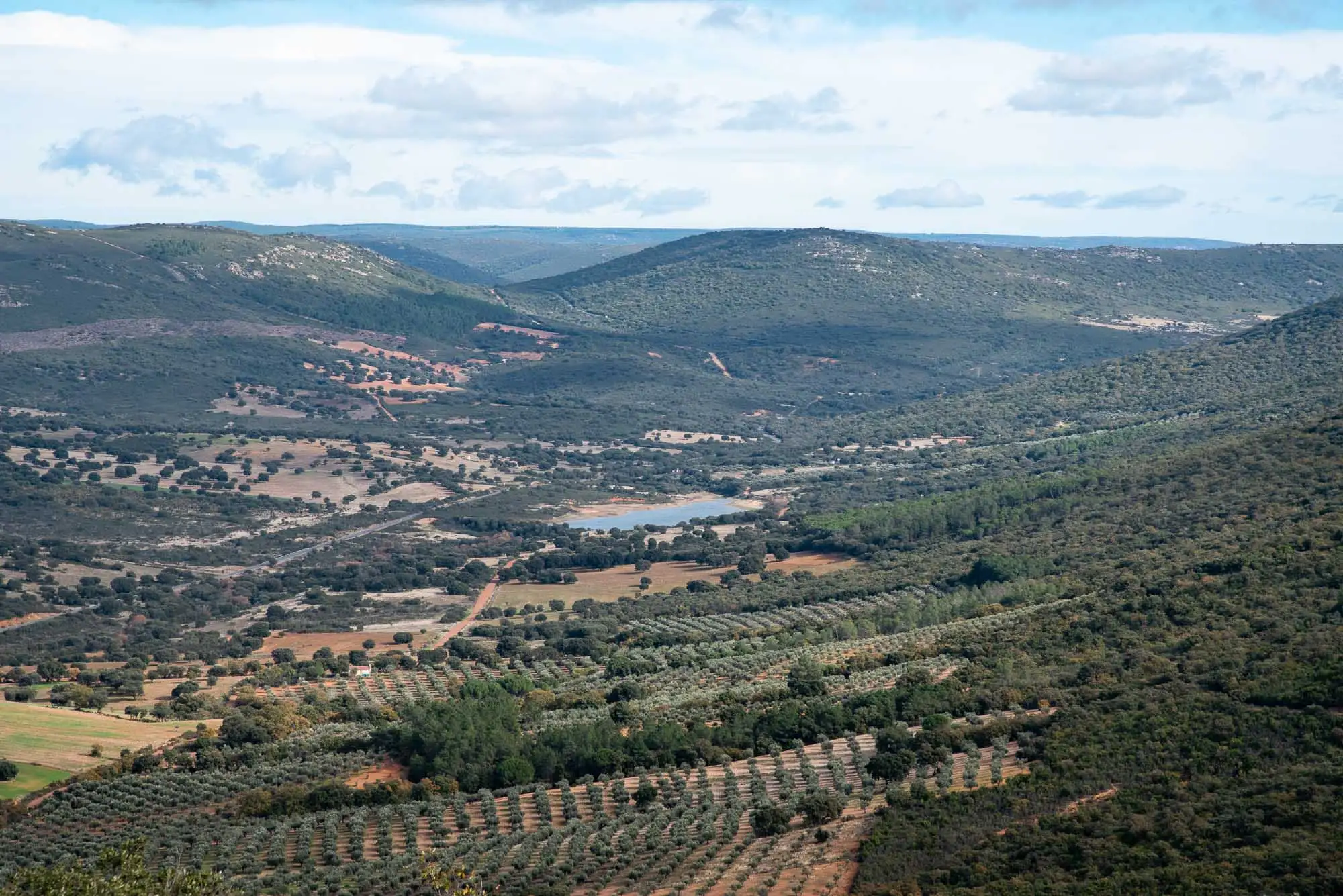
When we reach the end of the firebreak, we turn right to enter the raña, a very dense area of scrub in which gum rockrose (Cistus ladanifer) and mock privet (Phillyrea angustifolia) stand out. The raña is a stony plain formed by the dismantling of the park's old mountains 3 million years ago, and it covers a fifth of the park7. In spring it is worth it for the flowering of gorse (Genista hirsuta) and lavenders (Lavandula spp.).
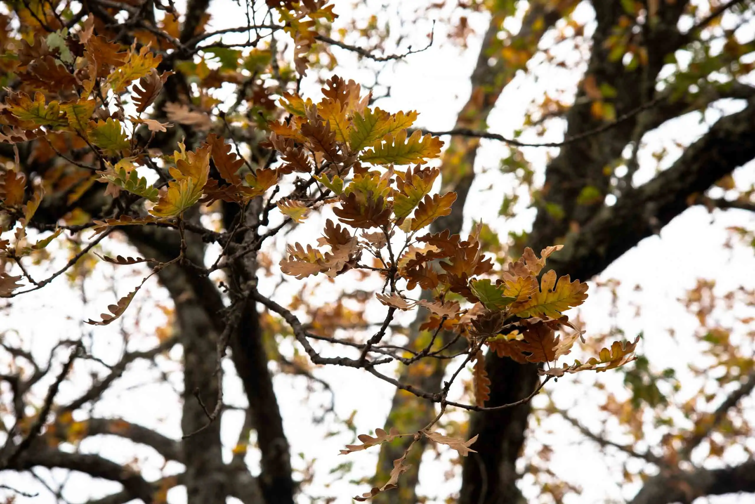
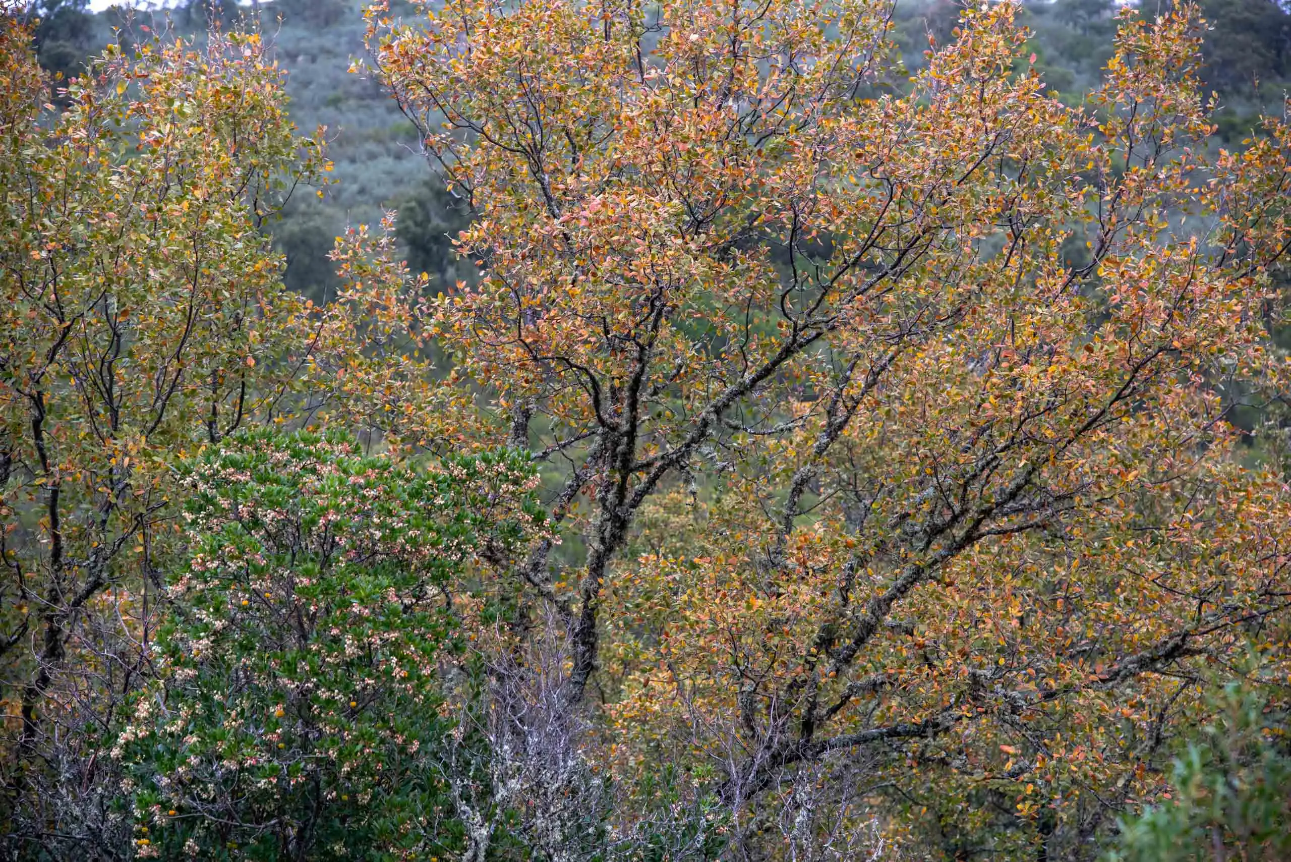
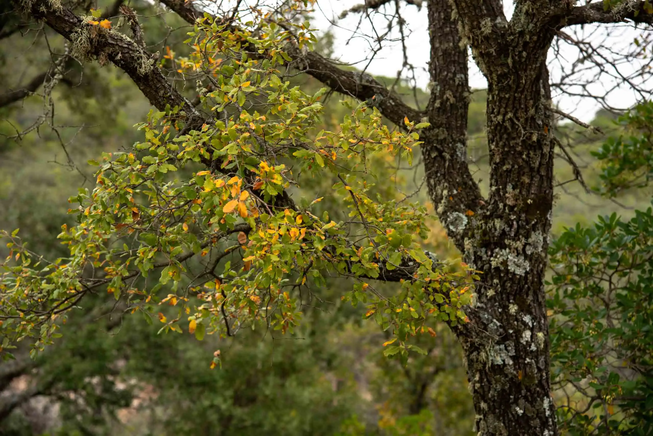
After this patch we begin to see the crowns of the abundant Portuguese oaks (Quercus faginea subsp. broteroi), greenish in spring and marcescent in autumn and winter: the leaf dries but stays on the tree. For the park, it is one of the prettiest stretches of the route8.
Portuguese oak with strawberry tree, in autumn.
Portuguese oak leaves.
2 photos
The Portuguese oak, unlike the holm oak (Quercus ilex), has less pointed leaves, and it sheds them at the end of winter. It does not need as much water as the Pyrenean oak and looks for water in the streams of the La Viñuela valley. It forms small groves, almost always accompanied by other oaks.
5km 6.7 – 7
La Hornera and the trampal del Zauz
The Portuguese oak wood ends at the La Hornera crossing, a crossing of four tracks where we begin the return. We turn right to go up the Viñuela valley again.
About 300 metres from the crossing, after leaving the Portuguese oak wood, we notice a change in the landscape: on the right appear large strawberry trees and willow crowns that warn us of the nearness of the trampal del Zauz, one of the most interesting in the park together with those of Los Canarios and La Viñuela. A trampal is the local name for a spring-fed peat bog.
Its name comes from an old willow (Salix atrocinerea) known in local place names as «zauz». The bog includes three small peat-bog nuclei, sheltered by a dense shrub fringe of Erica scoparia and Rubus ulmifolius. The vegetation is different from that of the Viñuela trampal, and you can see why: here there is no netting protecting it from ungulates.
The plants of the two trampales
56 plants in all: 28 grow in both, 10 only in the Viñuela one and 18 only in the Zauz one.
Agrostis castellana
Agrostis pourretii
Aira caryophyllea
Anagallis tenella
Aphanes microcarpa
Apium nodiflorum
Callitriche stagnalis
Calluna vulgaris
Cardamine hirsuta
Carex binervis
Carex echinata
Carex elata
Cerastium glomeratum
Cistus ladanifer
Cistus salviifolius
Cruciata glabra
Cynosurus echinatus
Cyperus longus
Dactylorhiza elata
Epilobium tetragonum
Erica australis
Erica scoparia
Erica tetralix
Festuca rothmaleri
Holcus lanatus
Hypericum undulatum
Isolepis setacea
Juncus acutiflorus
Juncus bufonius
Juncus bulbosus
Juncus conglomeratus
Juncus effusus
Lathyrus linifolius
Lotus pedunculatus
Lythrum portula
Molinia caerulea
Montia fontana
Myosotis discolor
Myosotis secunda
Poa trivialis
Potamogeton polygonifolius
Potentilla erecta
Quercus faginea subsp. broteroi
Ranunculus bulbosus
Ranunculus hederaceus
Rosmarinus officinalis
Rubus ulmifolius
Salix atrocinerea
Scirpoides holoschoenus
Scutellaria minor
Sibthorpia europaea
Stellaria alsine
Stellaria media
Valerianella locusta subsp. locusta
Vulpia muralis
Wahlenbergia hederacea
6km 7 – 9.4Stop 6
The way back along the valley
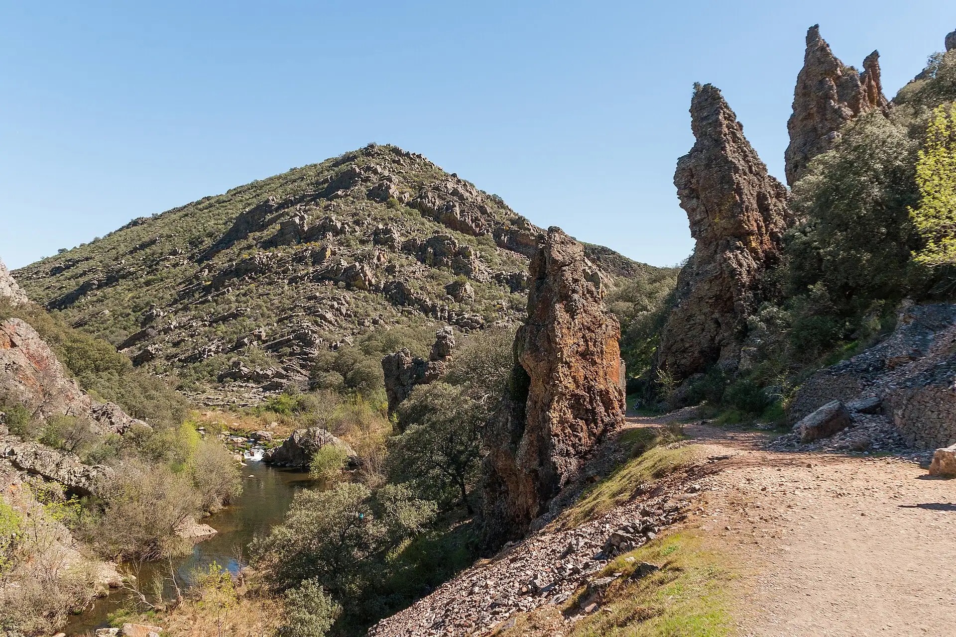
We go on another 2.4 km, leaving the Riscos de la Aliseda on the left, until we reach the Viñuela oak wood again.
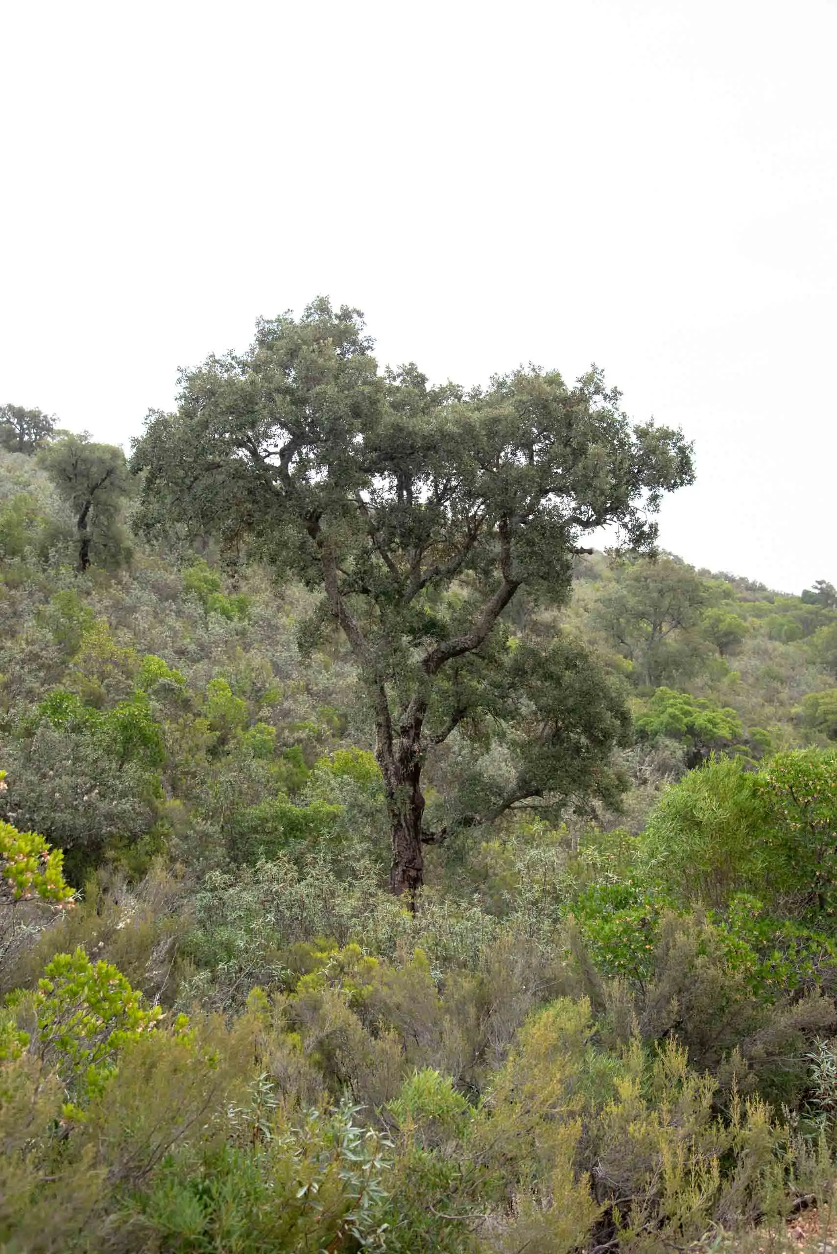
In the La Viñuela valley there are no true cork oak woods (Quercus suber): there are only isolated individuals, which people have selected to extract the cork. It tends to be found on the shady slopes because of the moisture, although some specimens look for water in the runoff at the foot of the quartzite summits.
Cork oak surrounded by rockrose, heather, strawberry tree…
The valley, from the path.
2 photos
7km 9.4 – 12.1
The final climb
All that is left is the 2.7 km climb from the start, now the other way round, up to the car park. It is a little over a hundred metres of continuous climbing, and the park leaflet calls it a «prolonged climb at the end of the route»9. What was a downhill stroll on the way out is now collected, with interest.
This is where you will be glad of the bottle of water.
Perea García-Calvo, R., Perea Ruiz-Tapiador, D. y Giménez Velasco, G. F. (2015). Vegetación y flora del Parque Nacional de Cabañeros. Volumen I. El paisaje vegetal: ecología, conservación y rutas de interés geobotánico. Madrid: Editorial Solitario.
Rodríguez Fernández, R. (ed.) (2017). Parque Nacional de Cabañeros. Guía geológica. Madrid: Instituto Geológico y Minero de España.