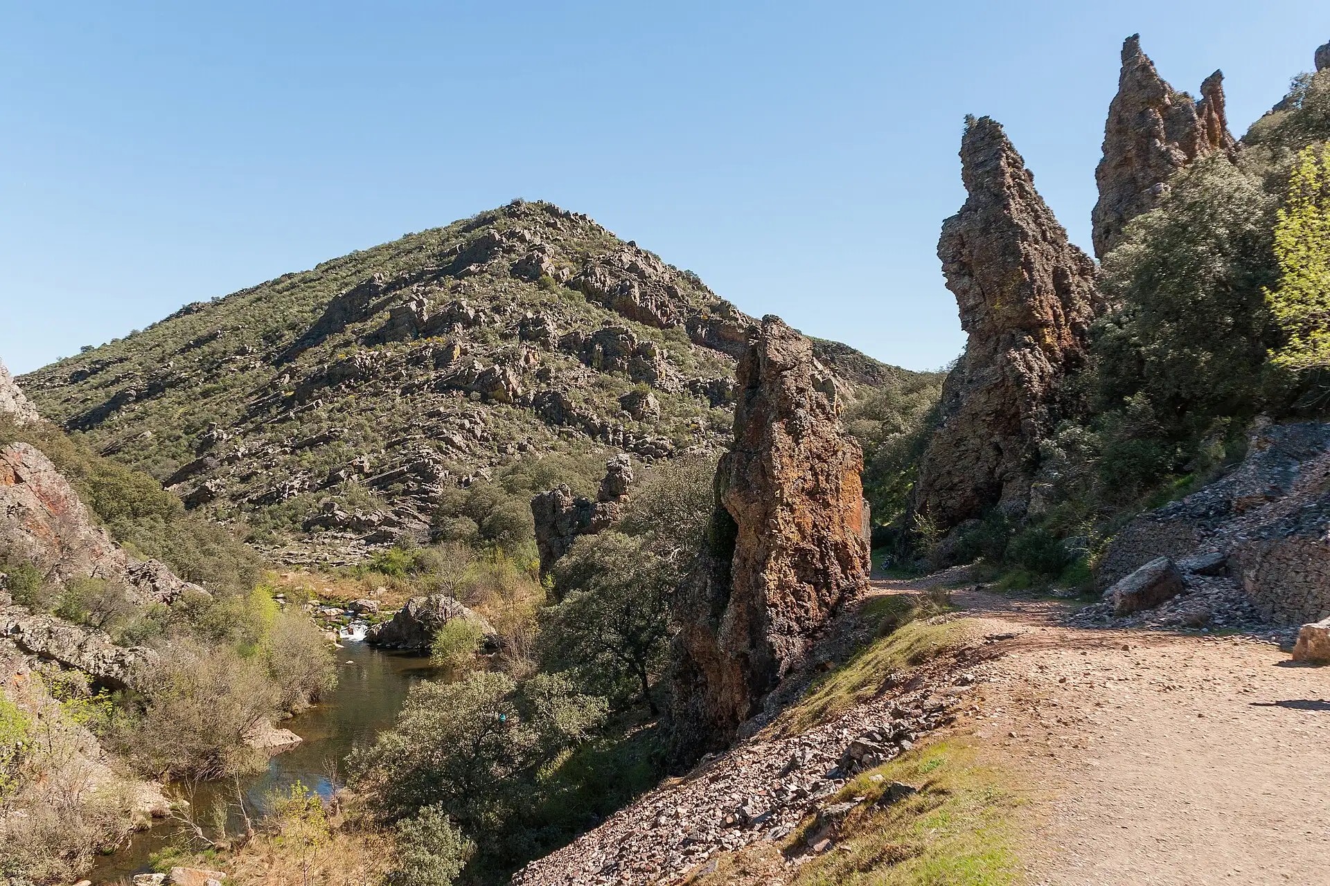
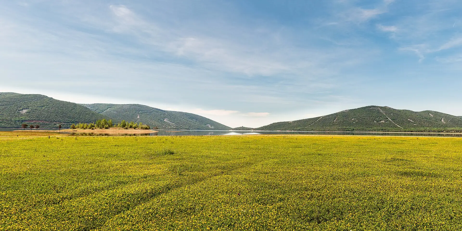
The most mountainous part of Cabañeros: two waterfalls, a ledge crossing over fossilised seabeds and the summit of the Montes de Toledo, at 1,448 metres.
It is a 20 km circuit: we climb along the Chorro stream to its two waterfalls, continue to the summit of the Rocigalgo and come down by the forest track. If you only want El Chorro or the Chorrera Chica, return from there the same way.
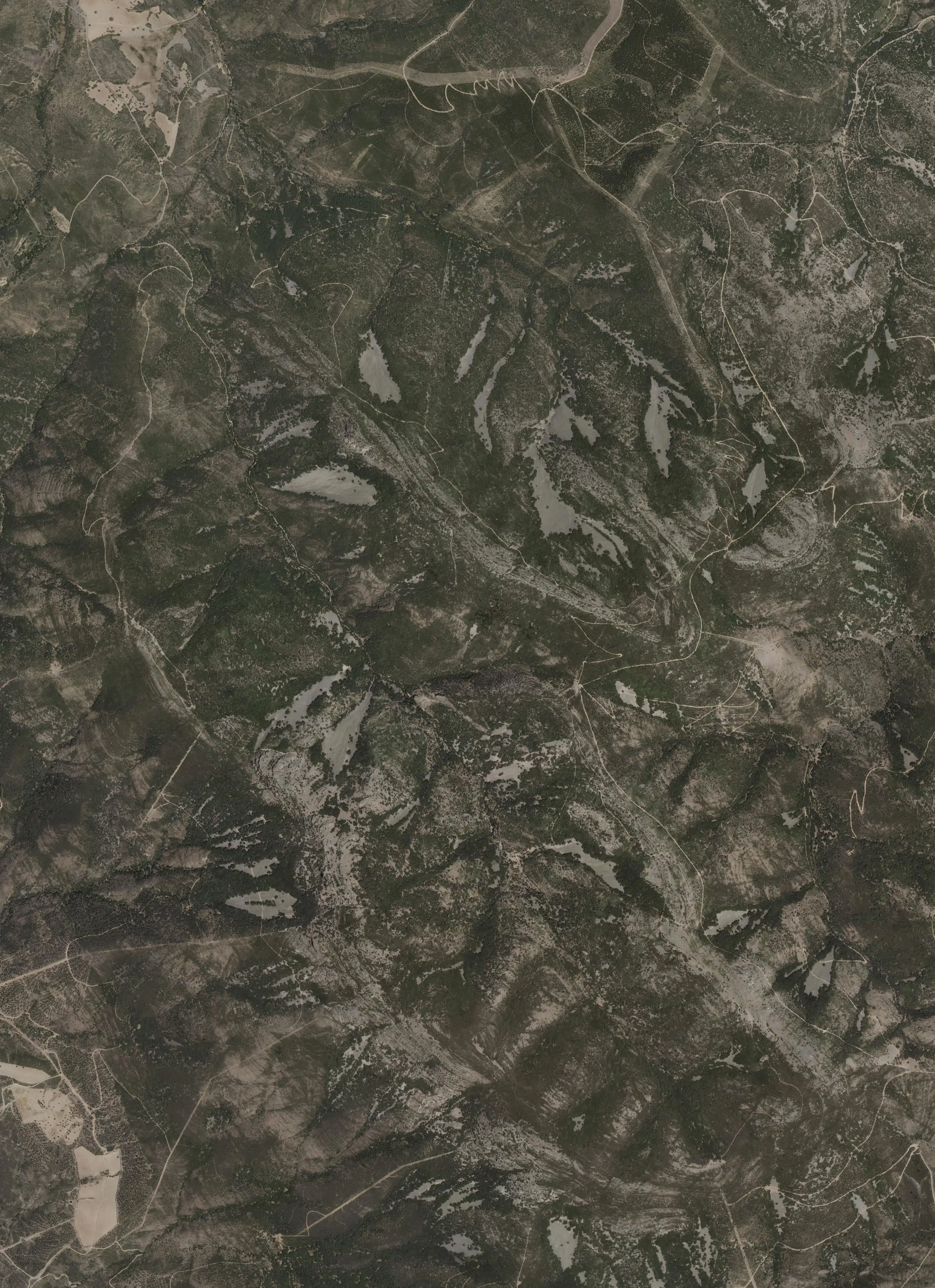
Maps: satellite and topographic maps from the Instituto Geográfico Nacional. Kilometres measured along the track (20 km); the park gives 19 km for the circuit, 4.2 to El Chorro, 6.1 to the Chorrera Chica and 9.6 to the summit. Approximate heights (Copernicus model of 90 m).Download the track (GPX)
Before you go
Self-guided or with a guide. If you want a guide, book at the administrative centre (926 783 297 / 926 783 456).
In much of the park your phone has no data. Save the route before you set off and you will have all of it, with photos, map and profile. Once in the park, open cabaneros.org in this same browser: if there is no signal, the site takes you to your saved routes. GPS works without signal: on the map, “Where am I” shows your position.
It takes a few megabytes and deletes itself after 60 days.
On iPhone, Safari deletes saved data if you go more than a week without visiting the site, so save it a few days before you go.
Practical information
El Chorro, Chorrera Chica and Rocigalgo
AccessSelf-guided or guided
DurationOne way: 2 h to El Chorro, 2 h 45 min to the Chorrera Chica and 4 h to the Rocigalgo
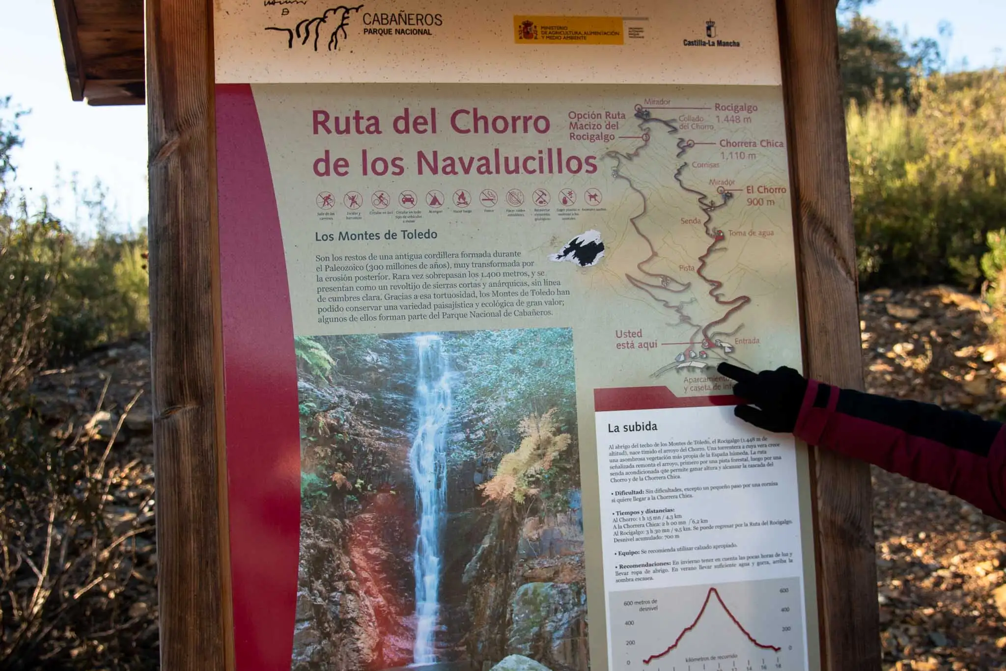
DistanceOne way: 4.2 km to El Chorro, 6.1 km to the Chorrera Chica and 9.6 km to the Rocigalgo
Ascent200 m to El Chorro, 300 m to the Chorrera Chica and 700 m to the Rocigalgo
DifficultyMedium
Booking
Only if you want a guide. The guided walk is free and is booked at the park's administrative centre (926 783 297 / 926 783 456) or through the National Parks Booking Centre.
Start and parking
Las Becerras information hut: turn-off near km 16 of the CM-4155, about 10 km from Los Navalucillos, then a dirt track to the hut, which has a car park.
Also
On very busy days the park may limit the number of visitors.
Leaflet
«La biodiversidad en los Montes de Toledo», for doing it as a self-guided walk, at the information points and on the park's website.
Bear in mind
There are mountain stretches: take care and do not leave the path. The park recommends signing in at the hut.
Macizo del Rocigalgo
AccessSelf-guided
Duration6-7 h
Distance22.4 km there and back, or 19 km circular linking up with the El Chorro route
Ascent950 m in total
DifficultyHigh
Booking
Not needed.
Start and parking
Las Becerras information hut: turn-off near km 16 of the CM-4155, about 10 km from Los Navalucillos, then a dirt track to the hut, which has a car park.
Also
On very busy days the park may limit the number of visitors.
Leaflet
«Senda del Macizo del Rocigalgo: la biodiversidad en el robledal de altura», for doing it as a self-guided walk, at the information points and on the park's website.
Bear in mind
There are mountain stretches: take care and do not leave the path. The high-altitude oak wood is spectacular in autumn, according to the park.
For seeing wildlife, the first and last hours of daylight are the best, according to the park. Official data: park information (MITECO, 2025).
To the park, on 926 783 297. When rivers rise the route is closed for a few days: it was cut in mid-January 2024 with storm Irene, at Easter that year, at the end of January 2025 (the Rocigalgo, until 14 February) and from 27 January to 20 February 20261.
The «112 SOS» beacons
They are yellow and numbered, and the Toledo provincial council put them up in 2023 along El Chorro, the Chorrera Chica and the Rocigalgo. If you have a problem, call 112 and say between which two beacons you are: they will find you much sooner2.
If the track is closed
The Becerras track, which leaves from kilometre 16 of the CM-4155, was concreted in 2025. If one day you find it closed, the alternative is the one by the Pusa river reservoir, from kilometre 10 of the same road3.
With a guide, be on time
The guide waits 15 minutes as a courtesy at the information hut, so do not be late. If you are not going, let them know as soon as possible to leave the place to others; with fewer than four participants the park may cancel the departure.
Hiking boots
For the Rocigalgo, without question: it is a long route and you should be well equipped. As far as El Chorro, trainers are enough, although with boots you are safer and do not slip on wet rock.
Water from home
Bring a flask or a bottle: there is nowhere to buy water along the way.
In summer
Do not forget sunglasses, a cap and sun cream. The descent by the track is in the sun almost all the way.
Binoculars
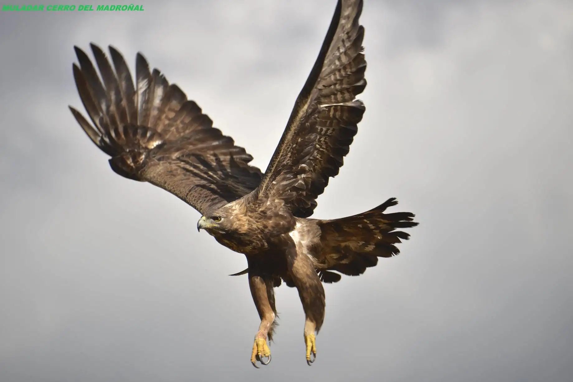
For the vultures, mostly Griffon Vultures, which breed on the crags of the valley. On the summits lives the Iberian ibex.
Stage by stage
8 stages, from car park to car park. The plan follows your reading: the light dot is where you are.
1km 0 – 2.2
The track and the Mediterranean woodland
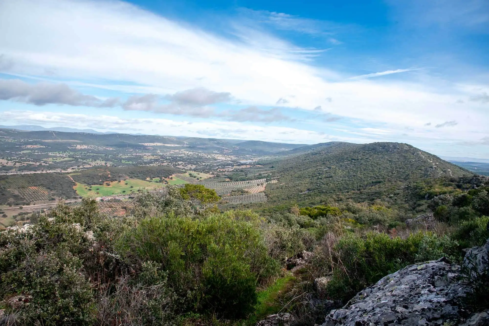
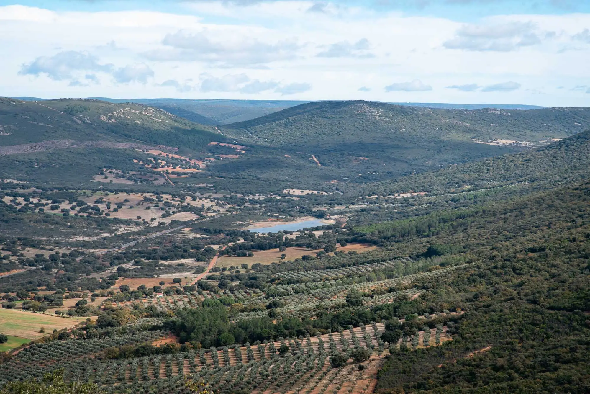
It is a route of many environments: sunny slopes, shady slopes, pedrizas, foothills, riverbanks, peat bogs, rock walls and summits. It has one of the best samples of Mediterranean woodland in the park, with holm oak woods below and Pyrenean oak woods above, and a gallery forest that shelters the Chorro stream with species from more northern places.
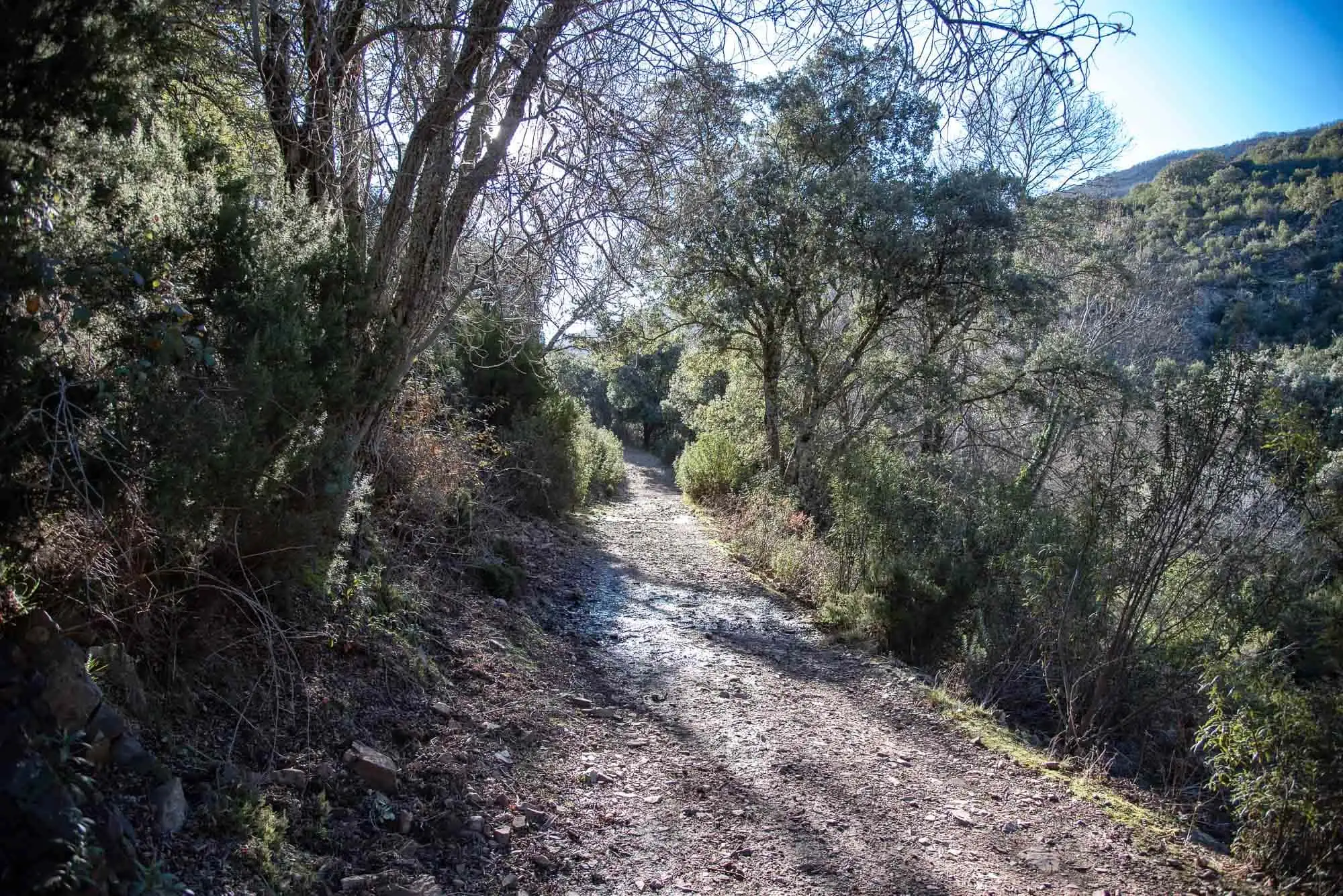
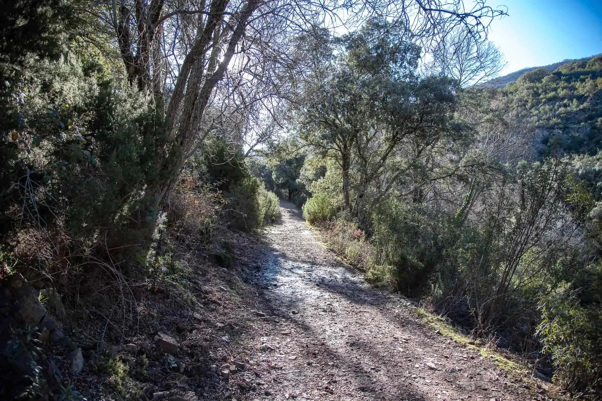
The first stretch follows a forest track. On both sides, the holm oak is the commonest tree on the mountain slopes, although depending on temperature and humidity there are also cork oaks, Portuguese oaks and other oaks. The scrub is made up of rockrose, the first to colonise these environments, strawberry trees, heathers, mock privets and terebinths, in a dense and impenetrable mass of vegetation.
The starting panel.
The forest track.
Mediterranean woodland on the slopes.
3 photos
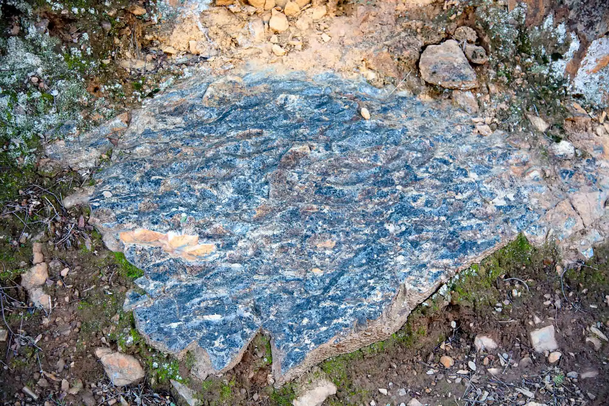
In the first 500 metres the slates of the Navas de Estena Formation outcrop, dark and with trace fossils from the Middle Ordovician, about 460 million years ago. They were laid down on a marine shelf far from the coast, where the clays settled4.
Further on the track crosses the Intermediate Beds and the Armorican Quartzite, of the Lower Ordovician (477-470 million years ago): the hardest rocks in the park, responsible for its relief and its summits. They are almost entirely quartz grains, which were deposited near the coast, where waves had the strength to carry the clays out to sea. The same happens if you drop a marble and a billiard ball on the shore: the marble ends up further away.
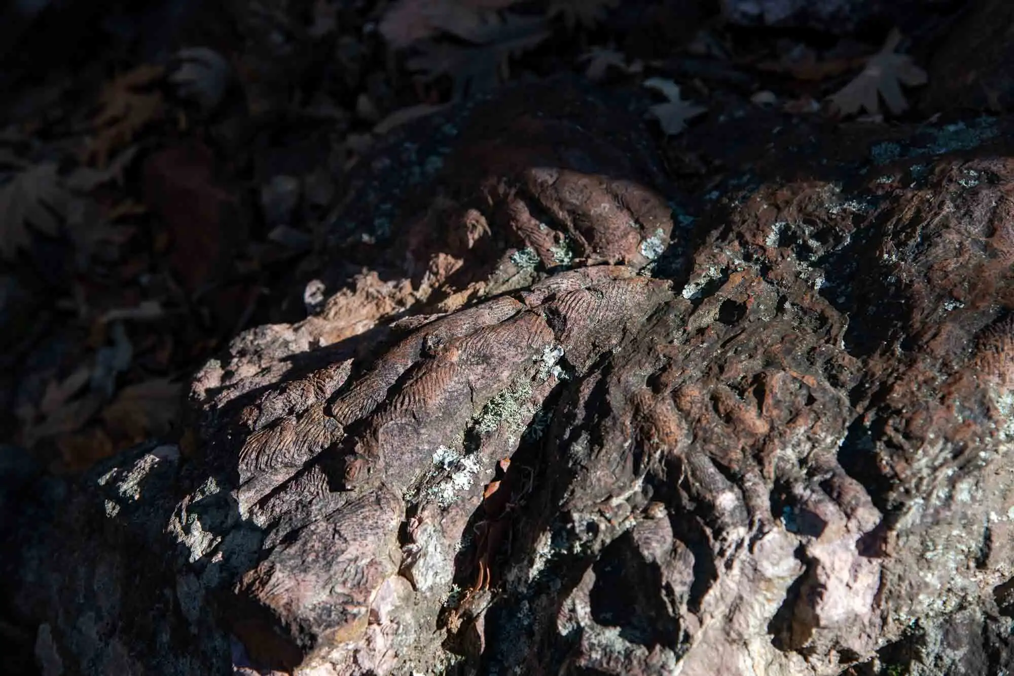
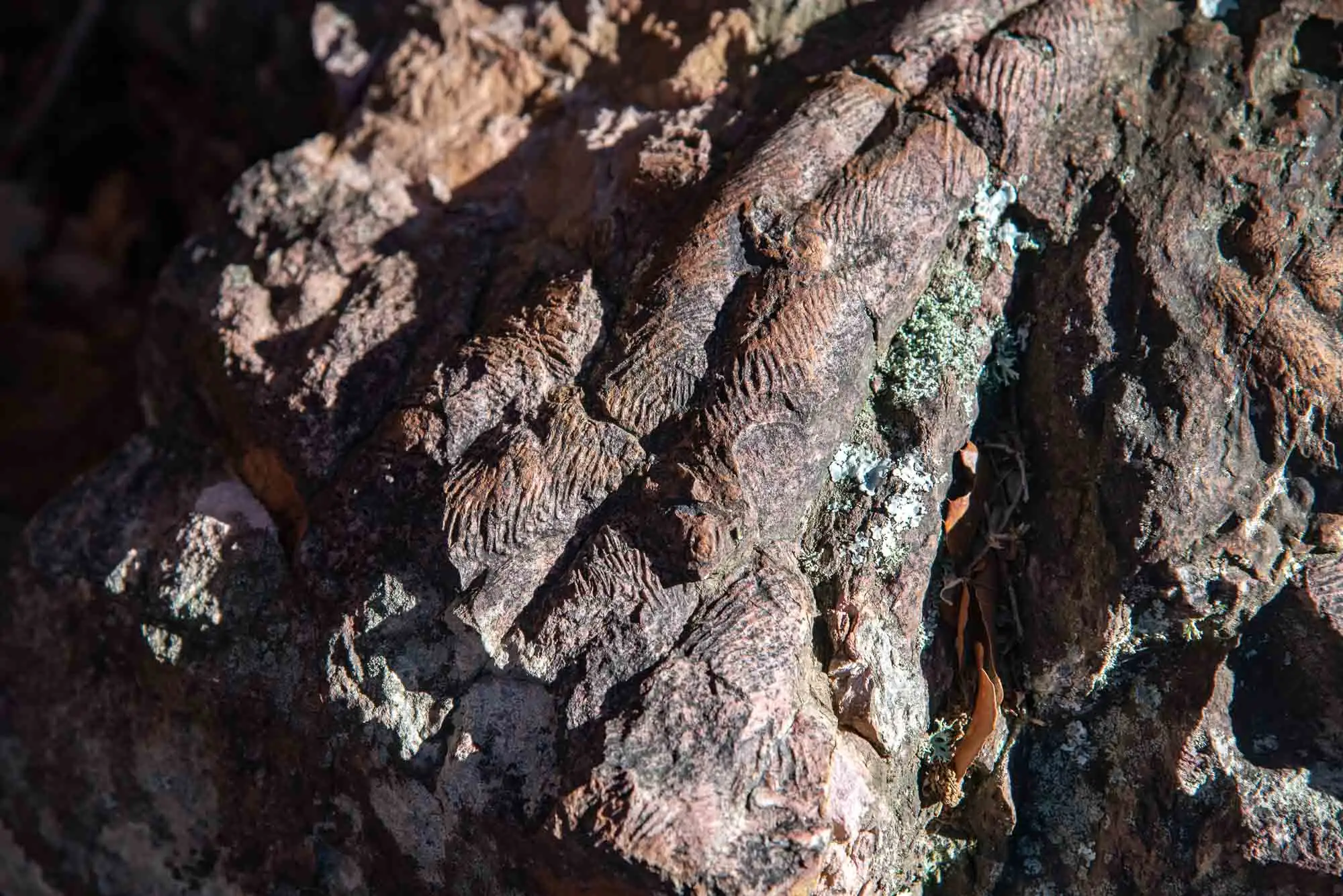
Because they resist erosion so well, they have kept the tracks of the animals of the time. The commonest are the cruzianas, the trail a trilobite left as it dragged itself along, and the Skolithos, tubes dug by worms. The ripple marks left by the waves also remain. More about them in palaeontology.
Cruziana: a trilobite passed this way.
Another cruziana.
Wave ripple marks.
3 photos
2km 2.2 – 3.4
The riverside wood and the water intake
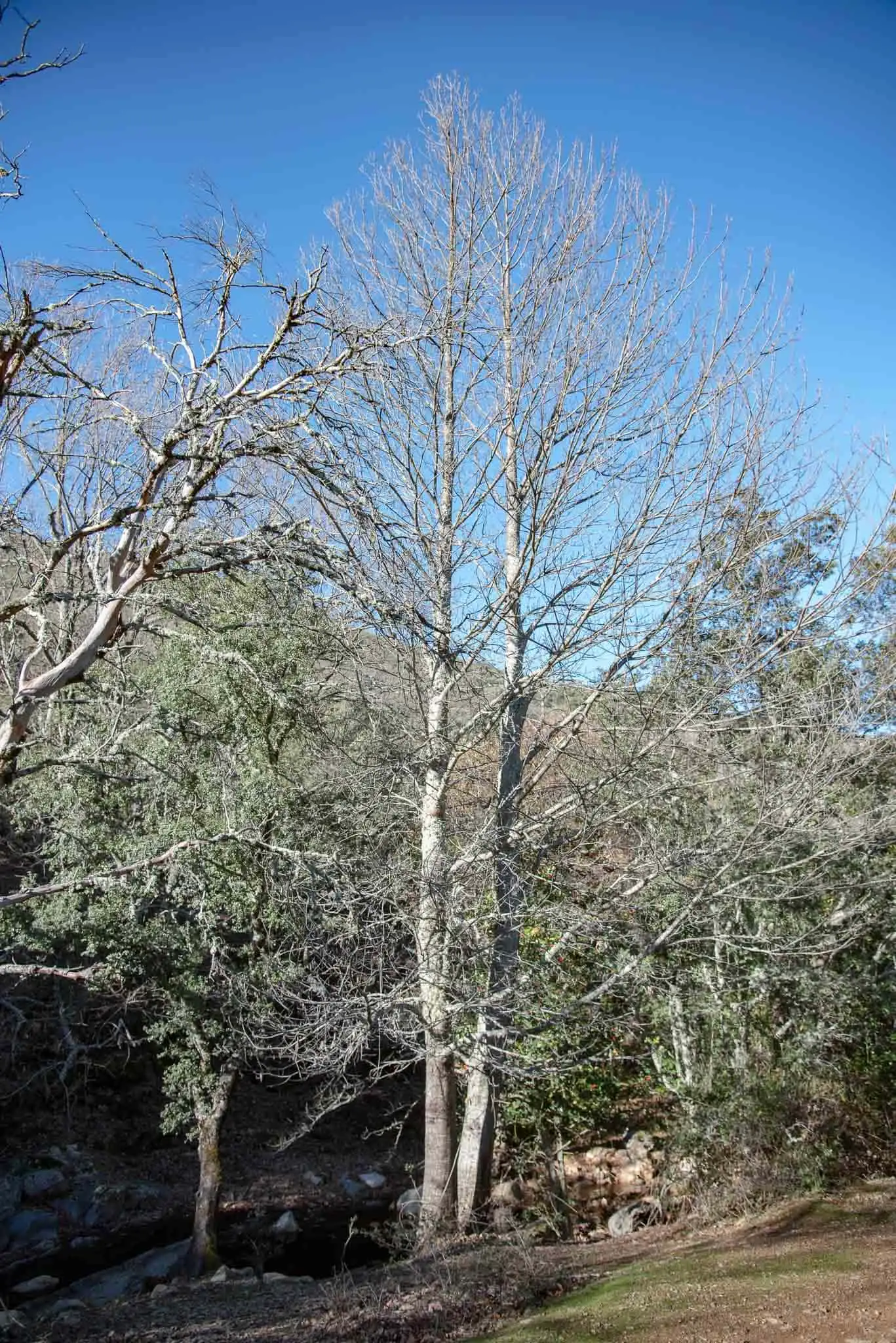
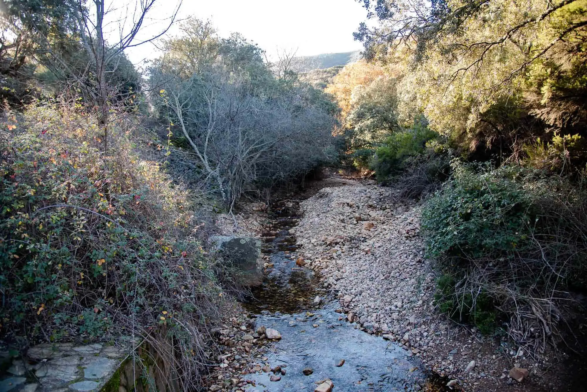
The riverside wood, or riparian communities (from ripa, bank in Latin; not to be confused with the rupicolous ones, which live on rocks), grows on the margins of streams and rivers. With its roots always soaked, it depends little on the climate5. It is usually made up of deciduous trees, some of Eurosiberian origin.
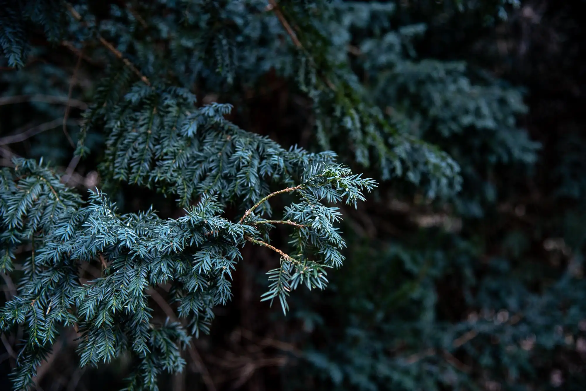
On the Arañosa stream the first ones appear: the ash, the grey willow and the common alder. In these cool, shady places they live together with the alder buckthorn, the sweet chestnut, the maple and some climbers, and also with species of Atlantic climate such as the yew, a witness of colder times.
Yew (Taxus baccata).
Sweet chestnut (Castanea sativa).
2 photos
On the other side of the stream there is a peat bog, a waterlogged area without erosion where half-decomposed organic matter accumulates. It forms where water is plentiful and special mosses grow, the sphagnum mosses. It has rushes, cross-leaved heath (Erica tetralix) and bog myrtle, and if we stop for a moment we can see carnivorous plants (Drosera rotundifolia).
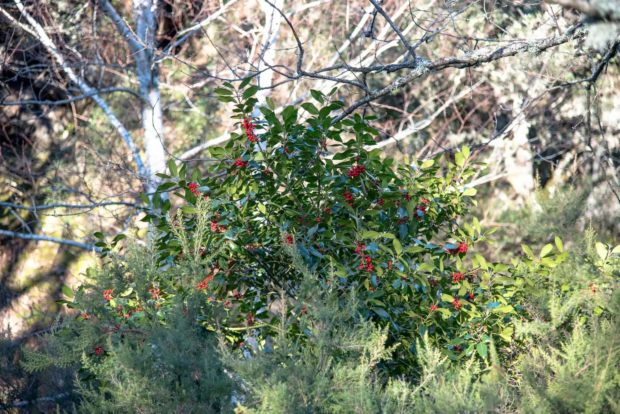
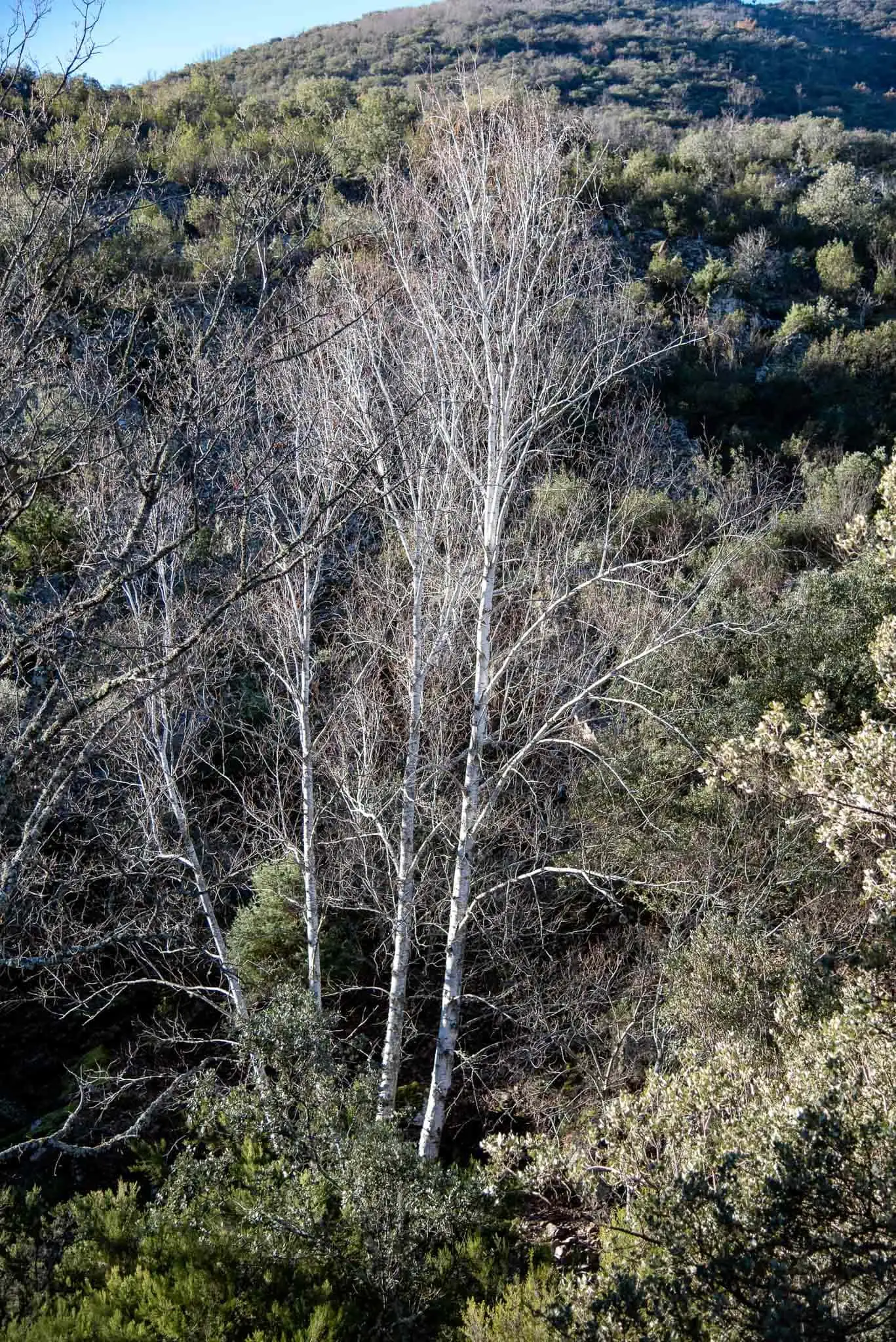
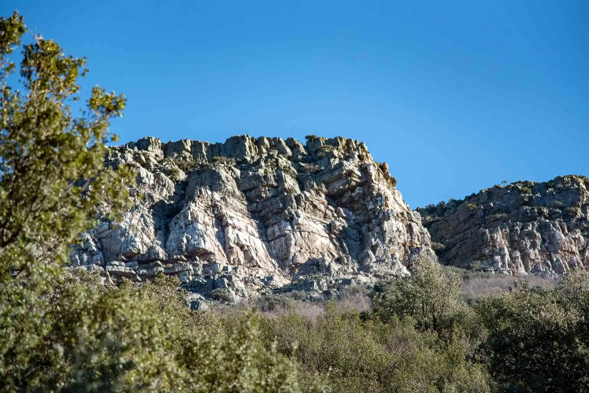
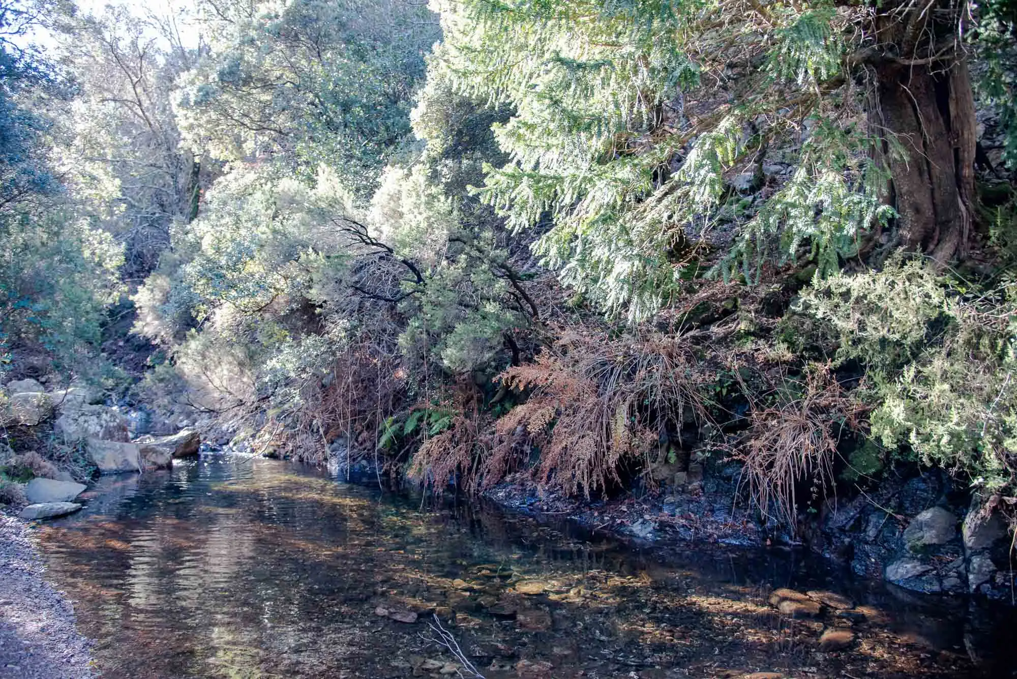
After crossing the Chorro stream we continue among ferns, heathers, junipers and whitebeams. The hollies and birches stand out, rare at these southern latitudes. Before the water intake, on the left, there is a very steep crag where it is easy to see a vulture jump from its perch: they breed in the most difficult places, so that predators cannot reach them.
The Chorro stream.
Sphagnum, the moss of the peat bogs.
Holly (Ilex aquifolium).
Birch (Betula pendula subsp. fontqueri var. parvibracteata).
The vulture crag.
5 photos
After an hour we reach the water intake, an open area that is good for a rest. A few metres away, a small dam reveals a botanical corner with many species.
The water intake.
3km 3.4 – 4.3
The sestil and El Chorro
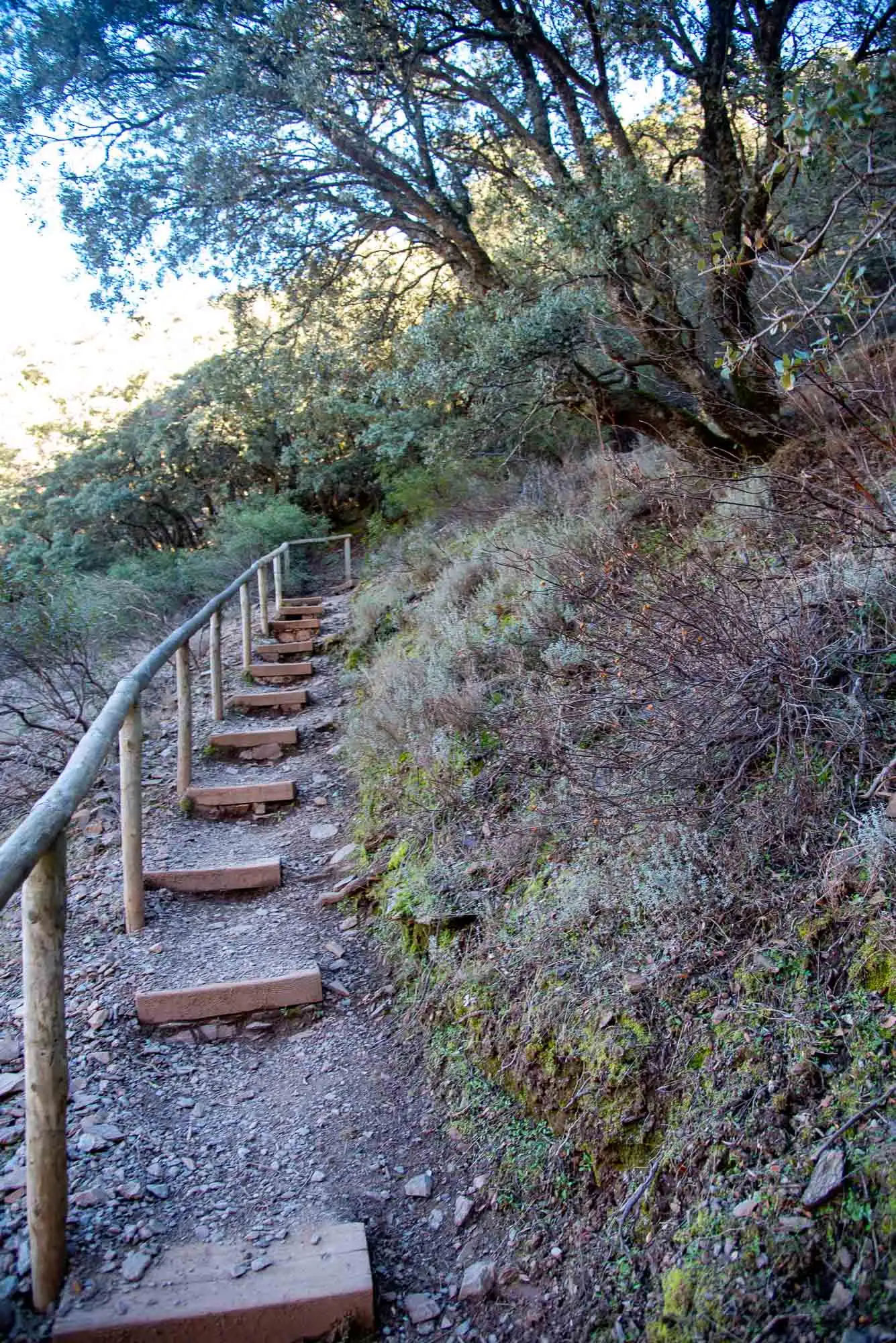
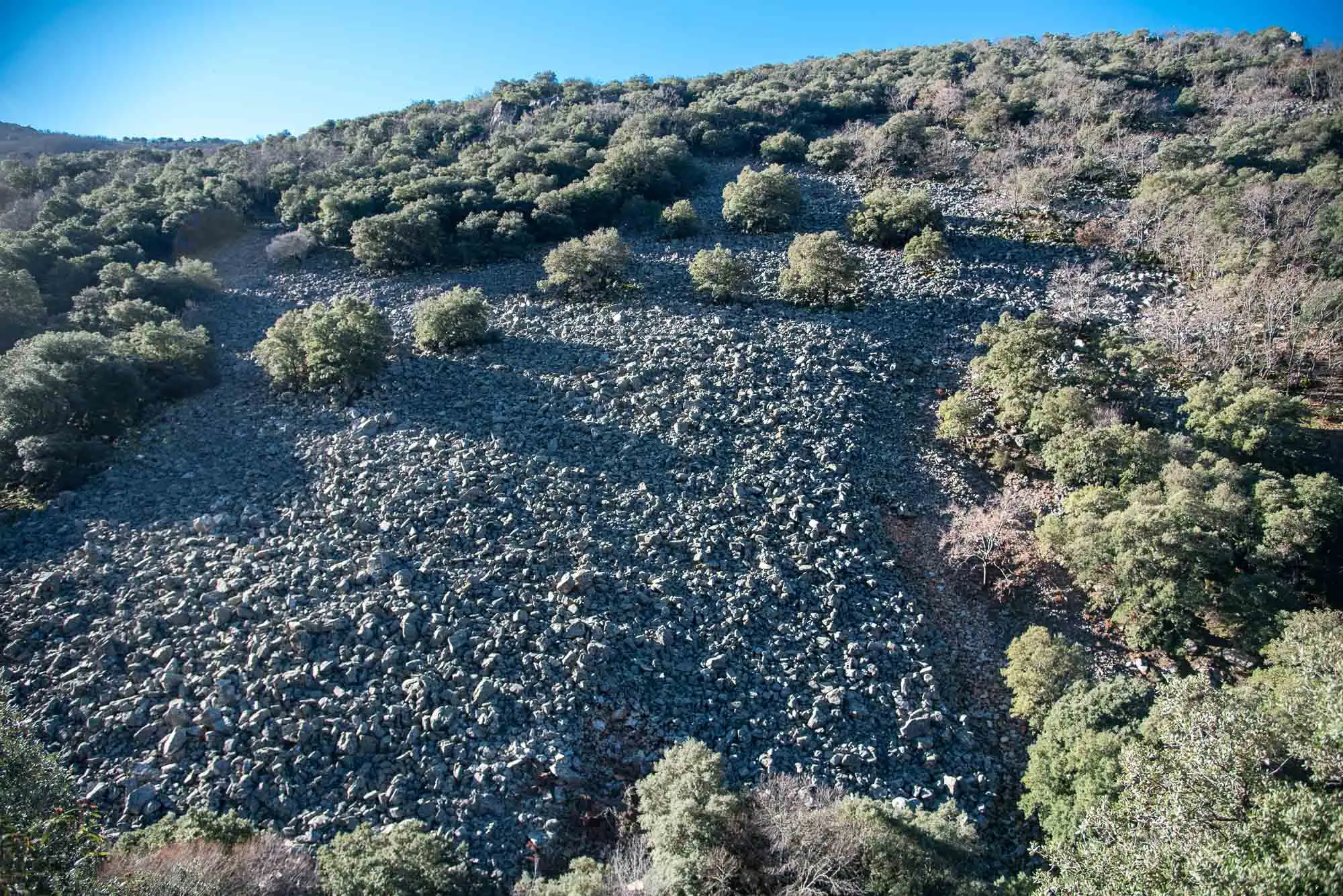
At the water intake the track ends and a path begins that gains the first metres of climb up to a balcony above the pedriza, a very typical feature of the Montes de Toledo that works as a natural firebreak.
The path, with its steps.
The balcony above the pedriza.
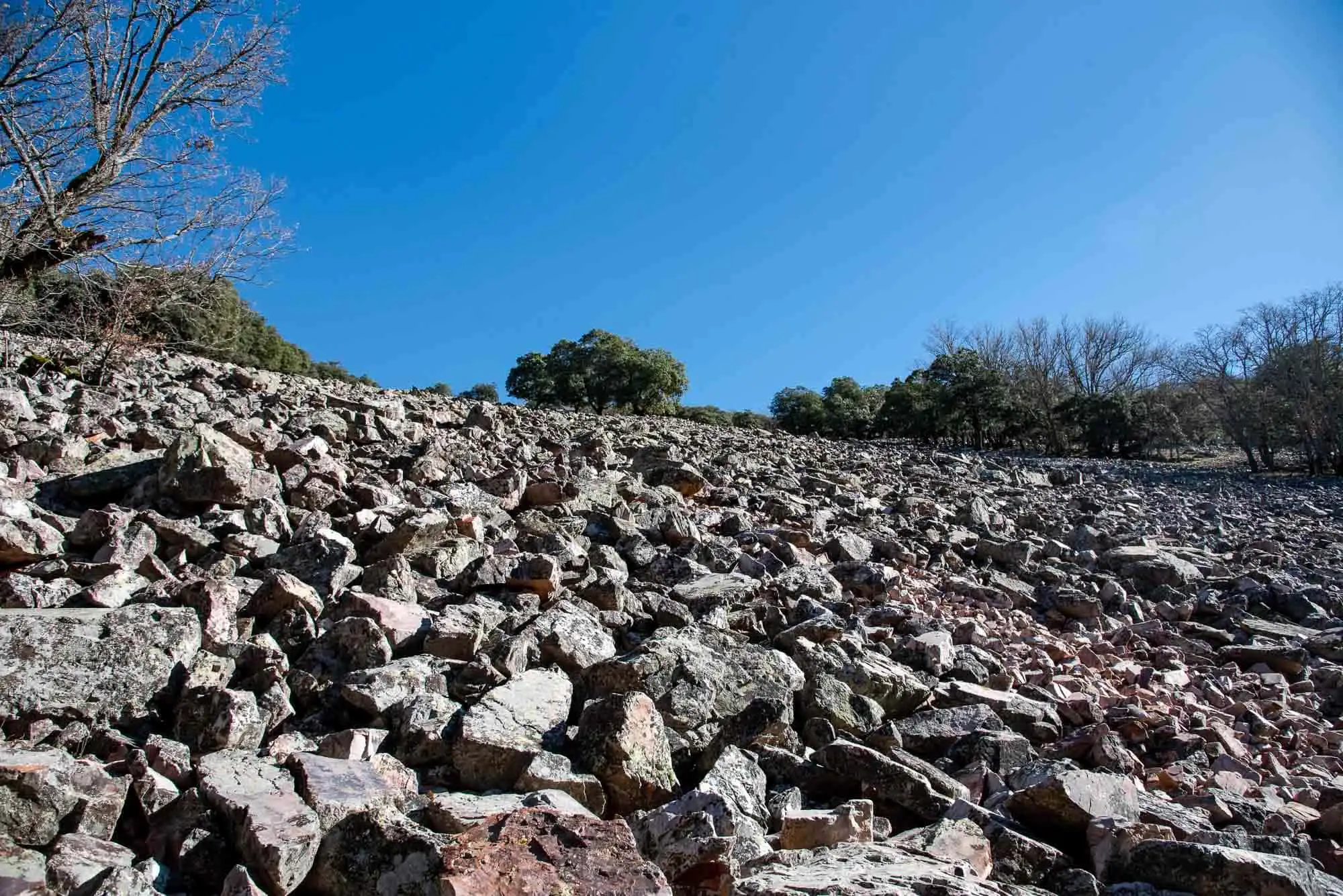
The pedriza up close.
3 photos
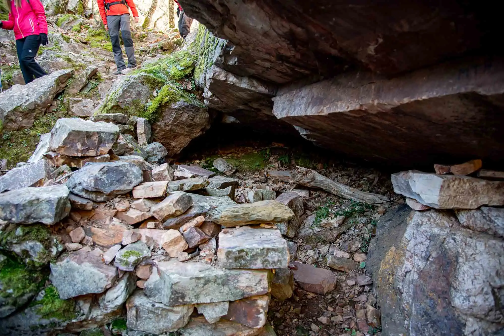
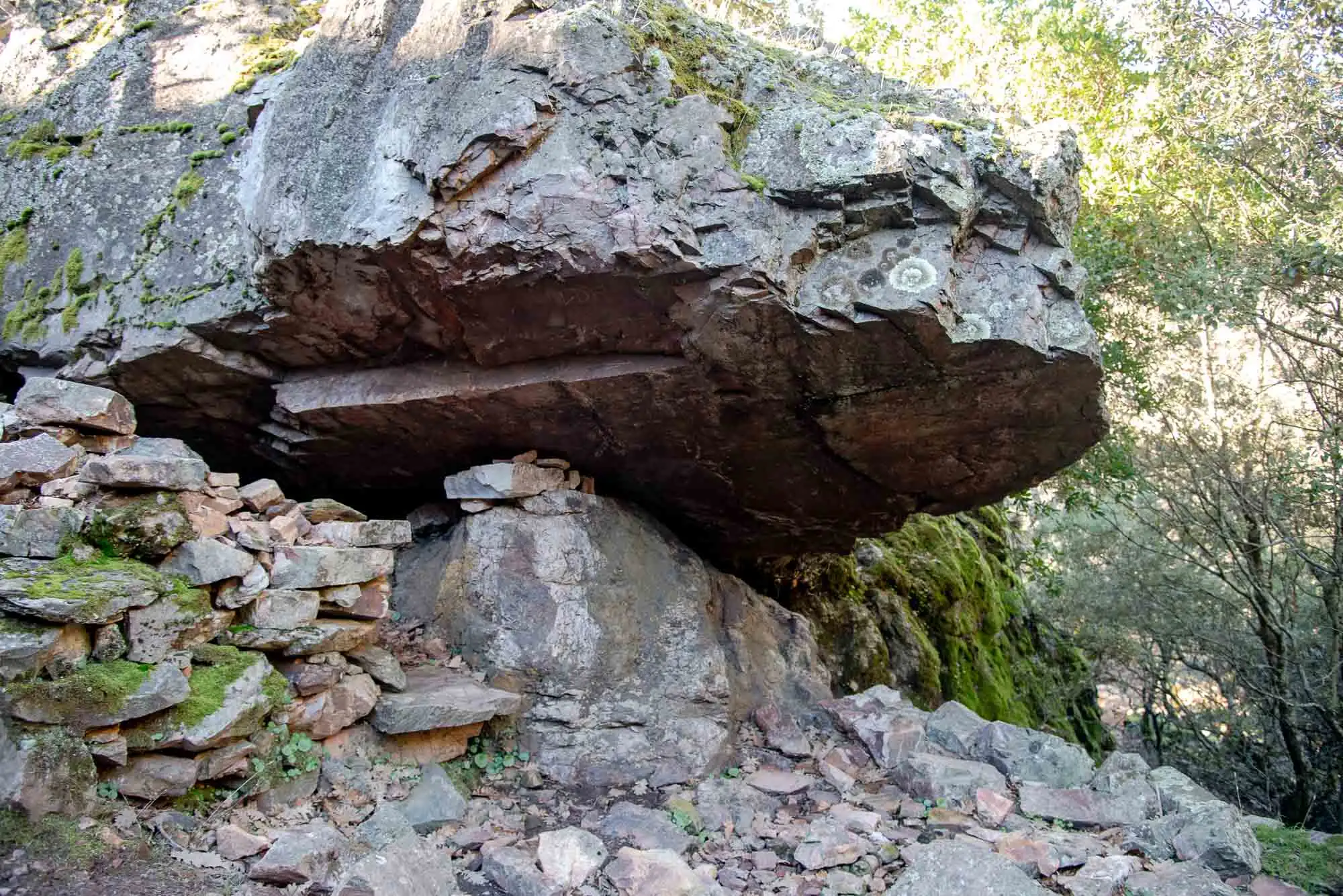
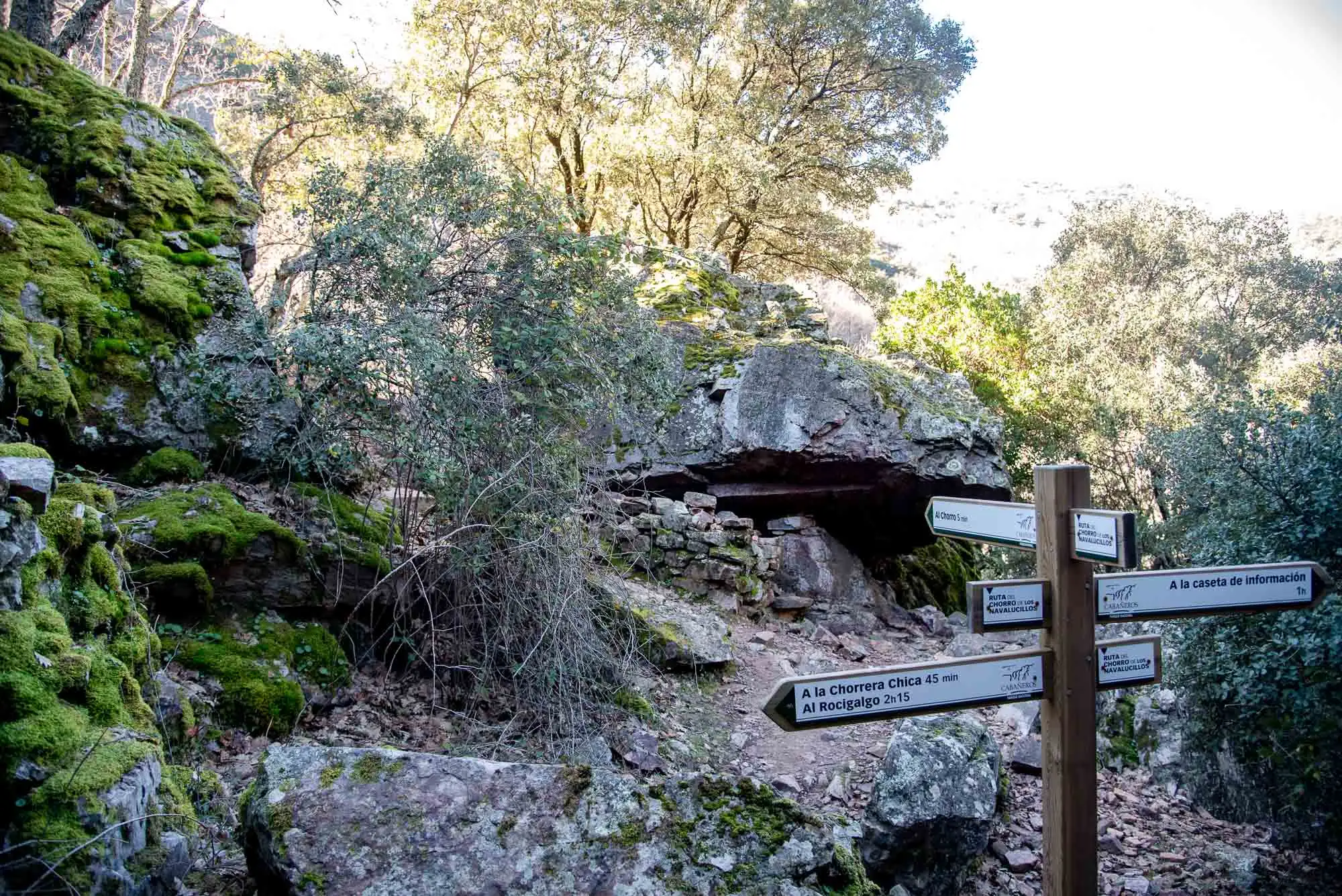
The last stop before the first waterfall is the sestil, an old shepherds' shelter. The name comes from «siesta»: in summer the goatherds took the goats up to the cool of the mountains and spent a long time there, so they made cheese in situ and rested in the shade. They closed it off with little stone walls under the rock6.
The sestil.
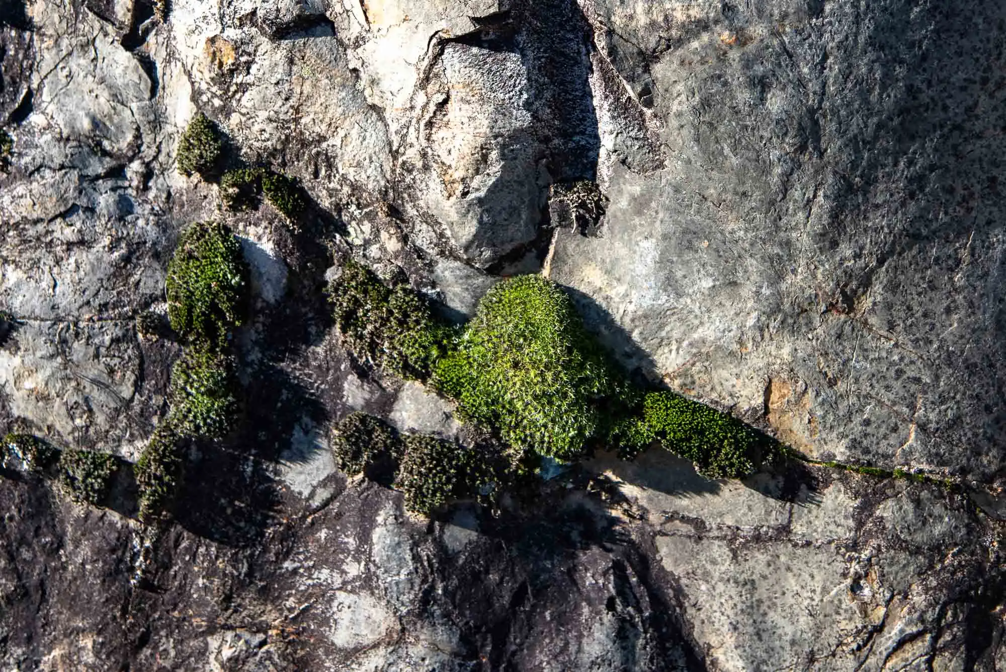
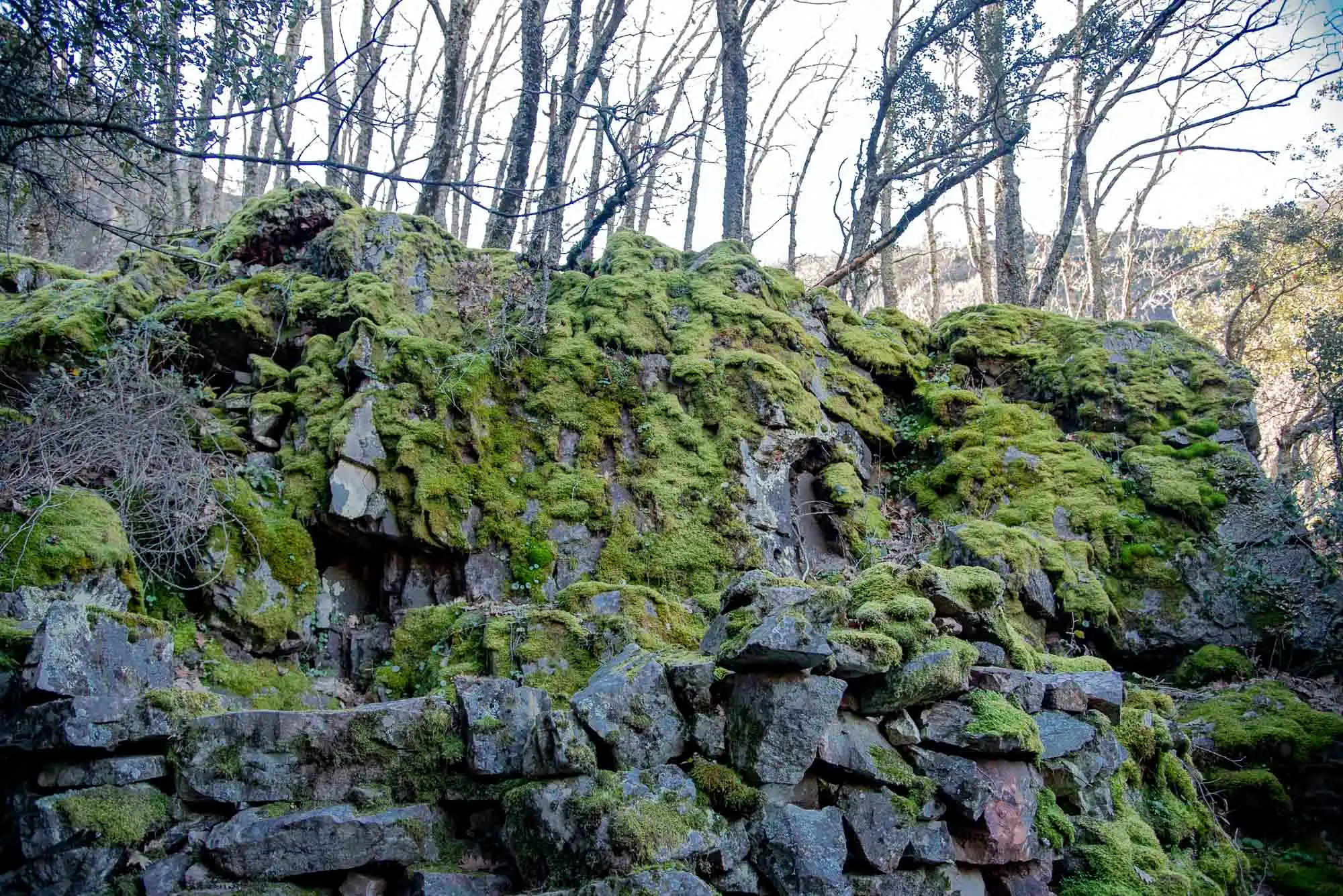
Moss on the stones of the sestil.
The rock acts as a roof.
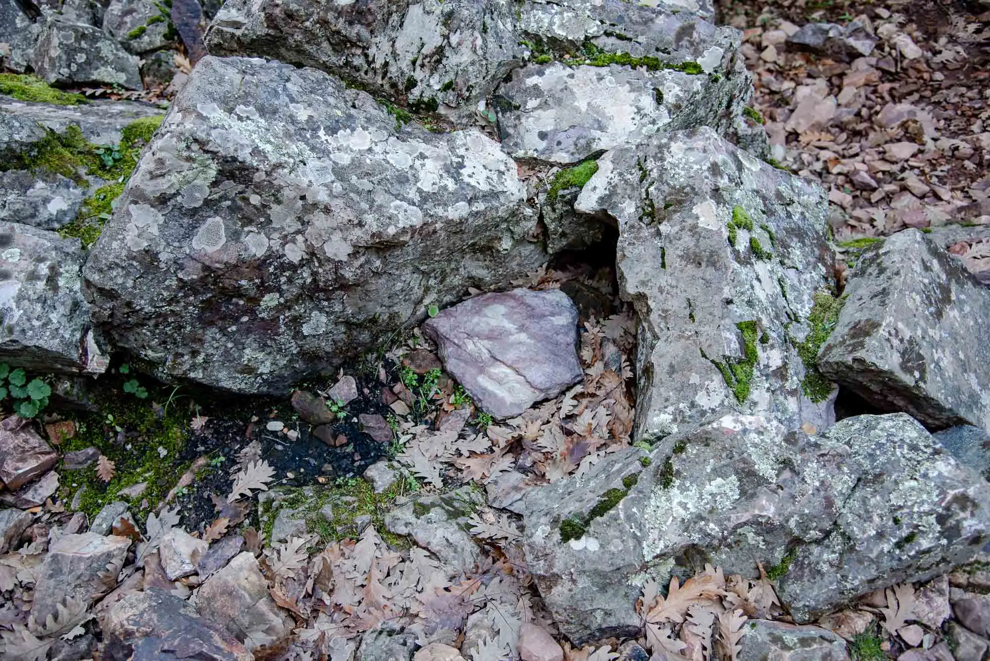
Stones of the sestil.
4 photos
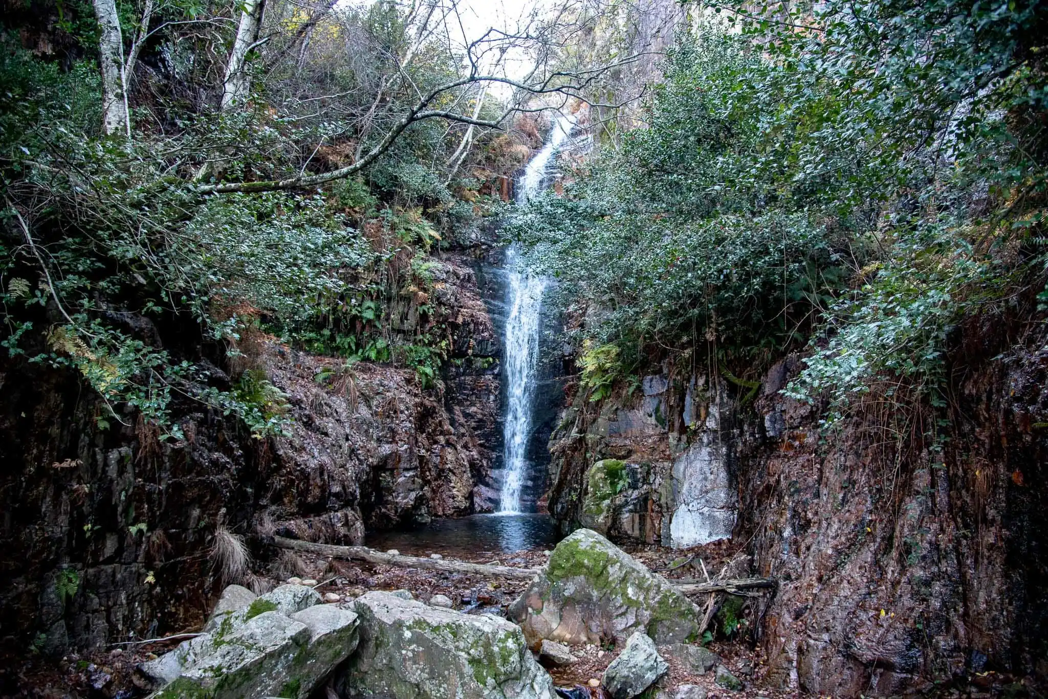
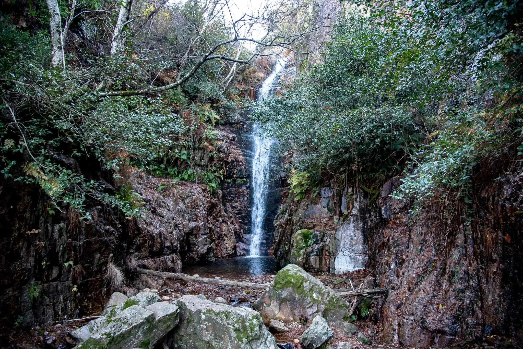
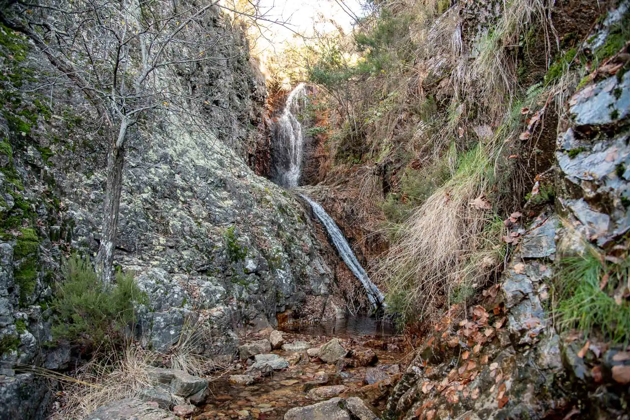
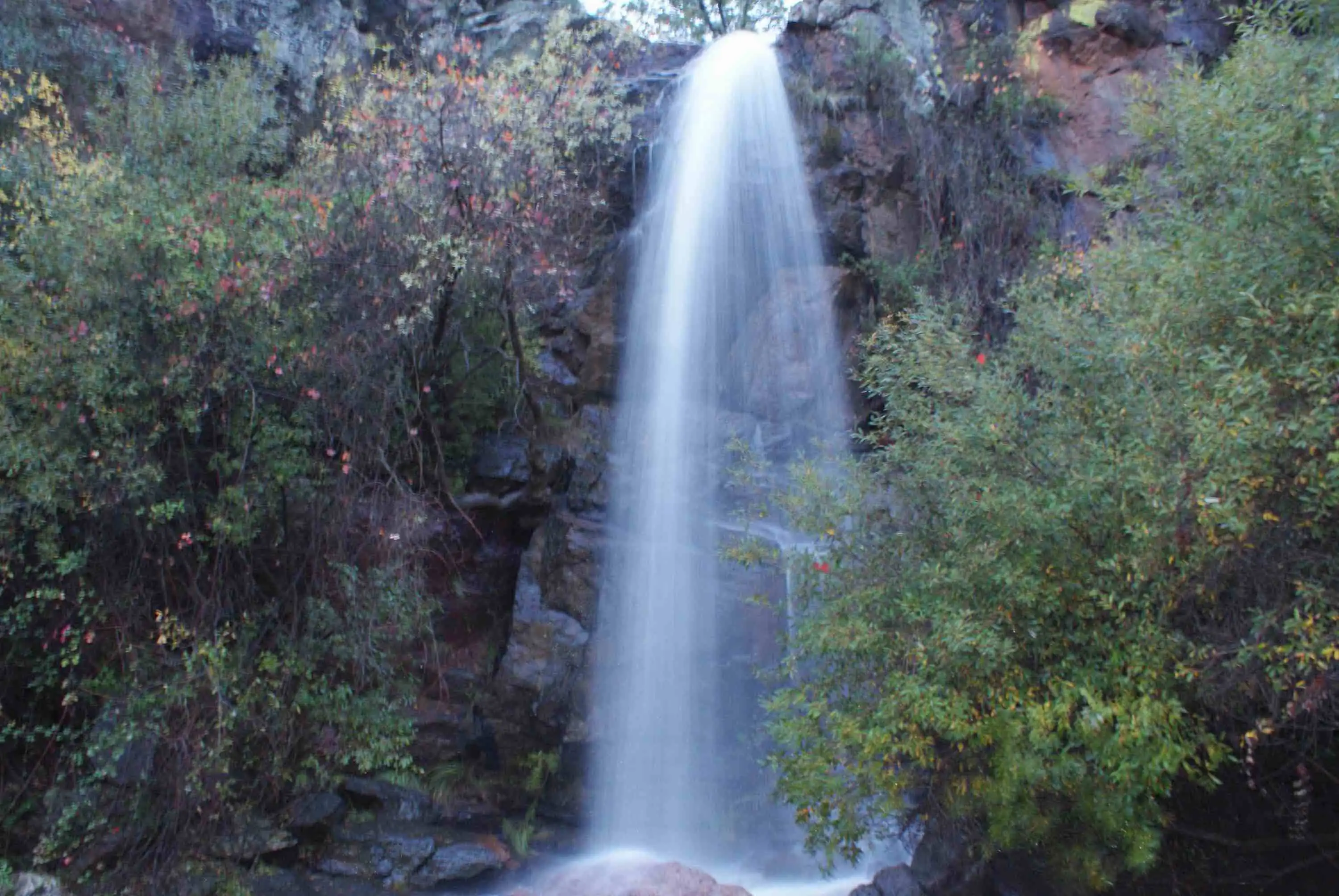
We keep climbing among oaks and holm oaks to the turning for El Chorro, which crosses a lovely Pyrenean oak wood and leads to the Chorro de Los Navalucillos. It is the steepest waterfall in the park, 18 metres high7; beside it are the remains of another sestil.
El Chorro de Los Navalucillos.
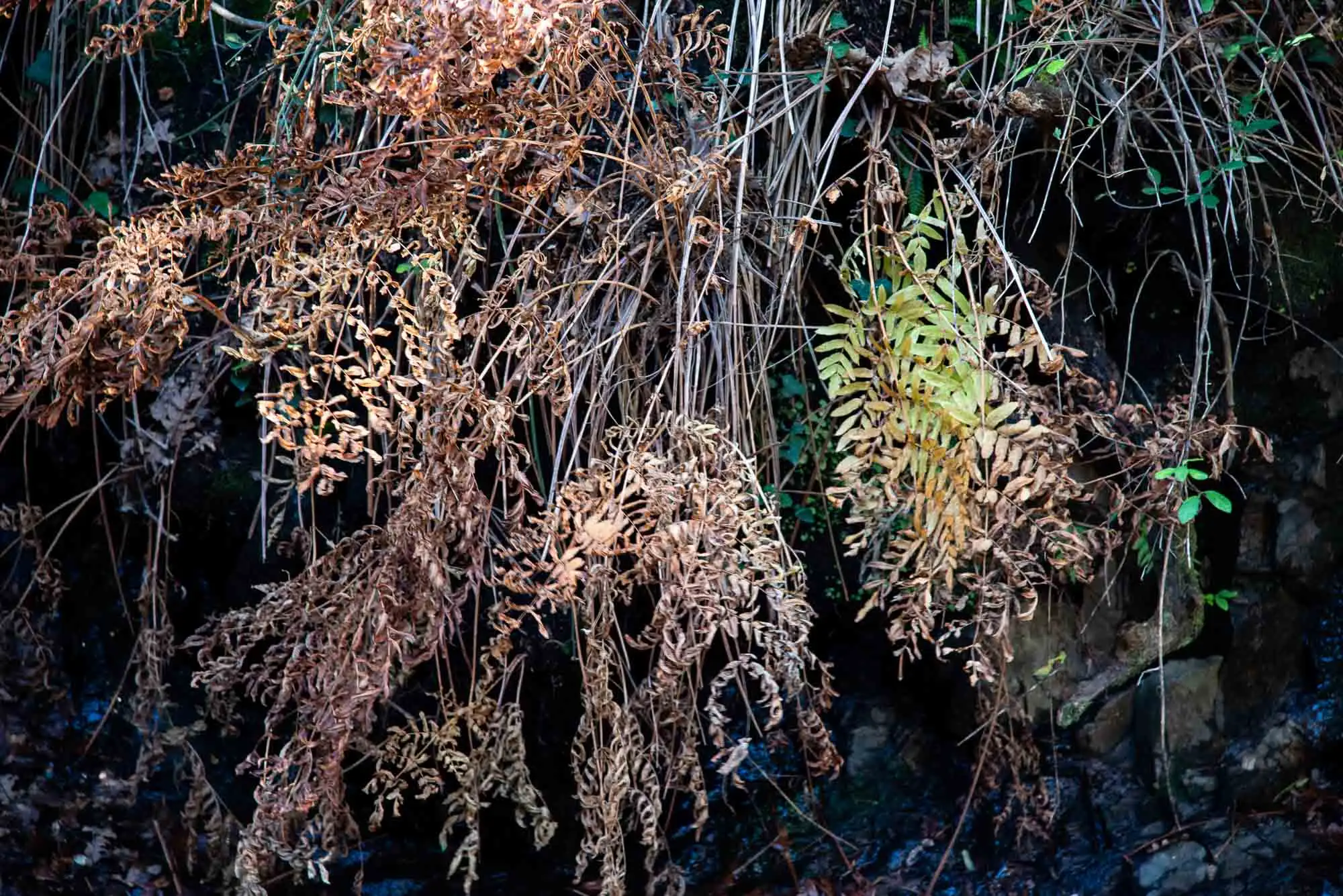
Ferns in the dampest corners.
2 photos
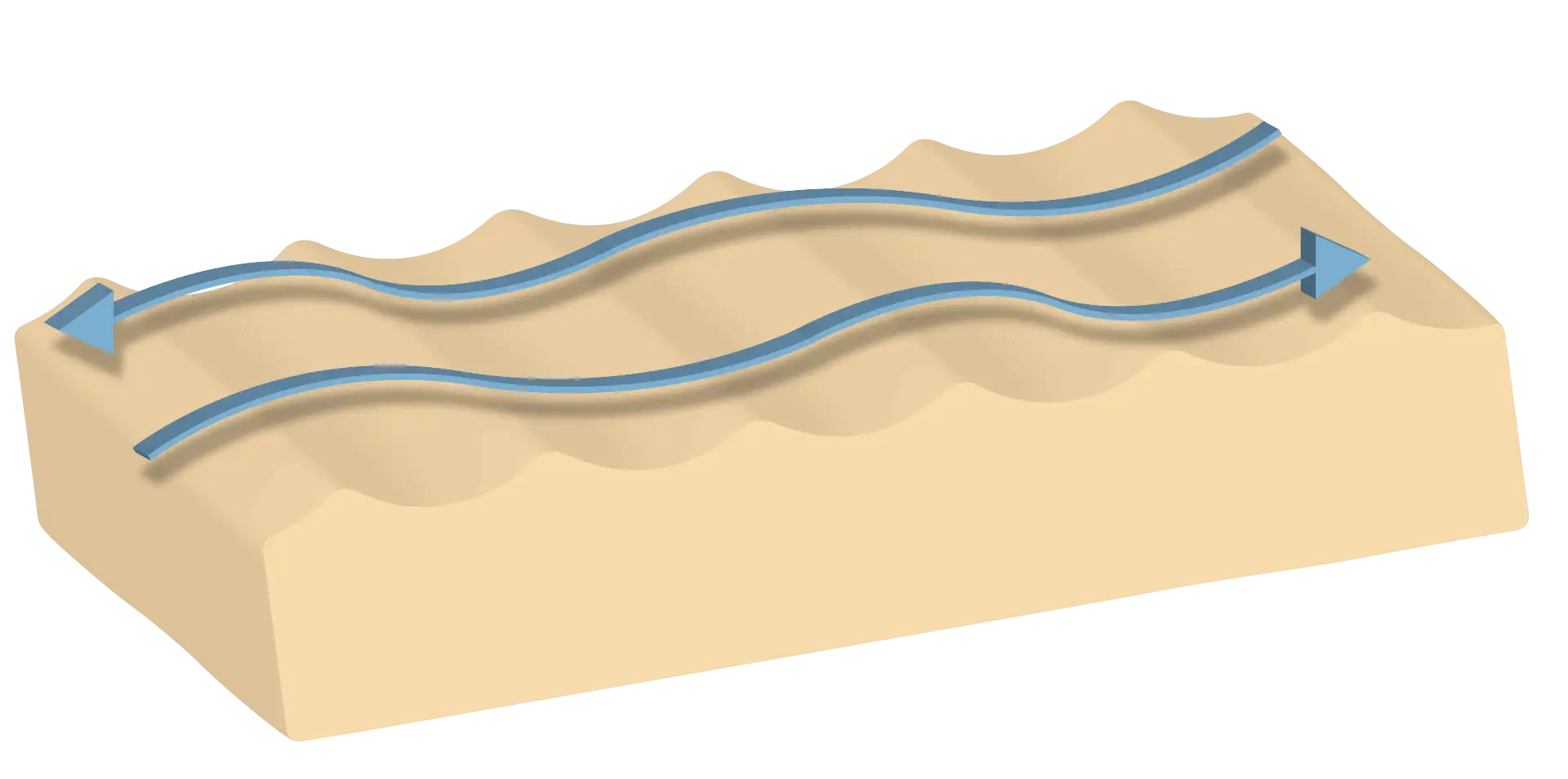
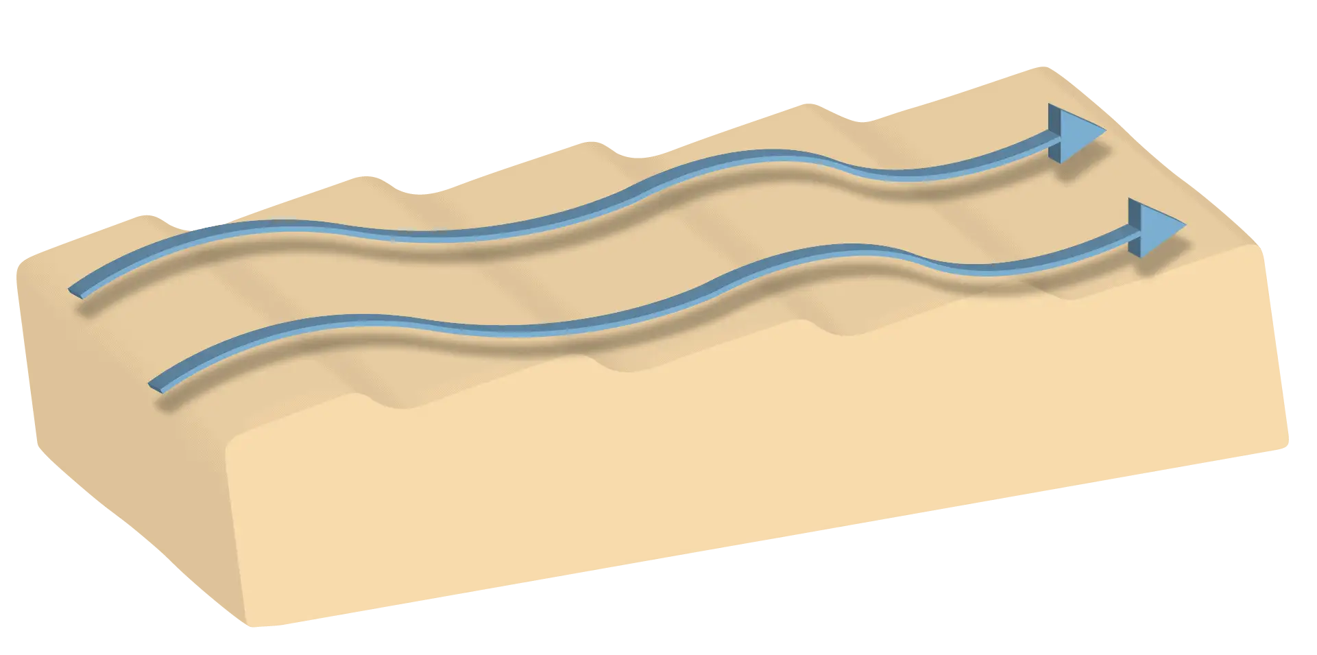
When the relief changes suddenly there is almost always a change of rock. Here the Armorican Quartzite is in contact with the sandstones and slates of the Intermediate Beds, which can be seen downstream. The water wore the rocks unevenly: the quartzite hardly changed and the slates eroded away until they formed the waterfall.
1A shallow seaAbout 470 million years ago, almost pure quartz sands are laid down near the coast; further out to sea, clays.
2The layers, on endThe Variscan Orogeny folds the layers and tilts them: the Armorican Quartzite on one side and the slates of the Intermediate Beds on the other.
3The water wears away the soft rockThe stream erodes the slates before the harder quartzite. Where they meet, the bed drops suddenly.
4The fallOver that step El Chorro falls today: 18 metres of water.
How El Chorro was made, in a cross-section of the stream. Not to scale.
The steepest waterfall in the park: 18 metres.
4km 4.3 – 5.9
Las Cornisas and the Chorrera Chica
To continue to the Chorrera Chica you have to go back to the turning and keep to the path, steeper than the previous one, between valleys with pedrizas and ledges that have sheltered animals and goatherds. On the left the layers of Armorican Quartzite outcrop, facing south and bent into a syncline: they were laid down flat, but the Variscan Orogeny squeezed them until they fractured.
The turning.
From their erosion come the pedrizas, some of surprising size, and the colluvium, accumulations of material that runoff water or gravity leave on the slope. In the quartzite blocks you sometimes find a remnant of a marine fossil.
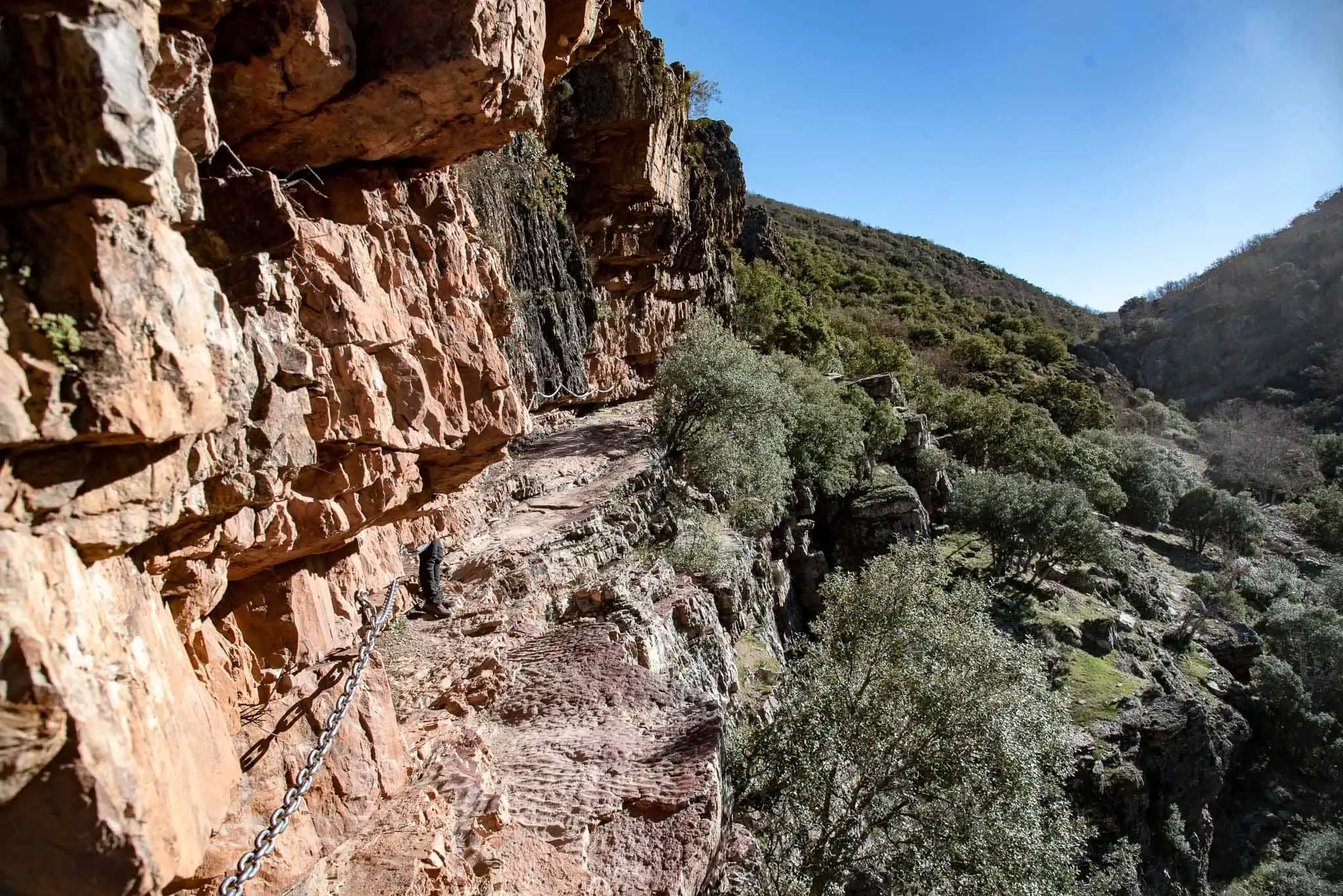
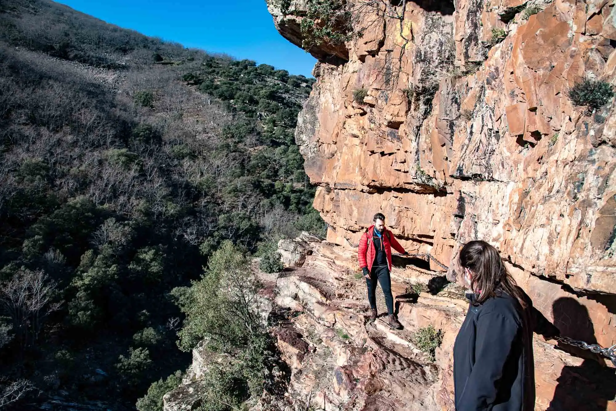
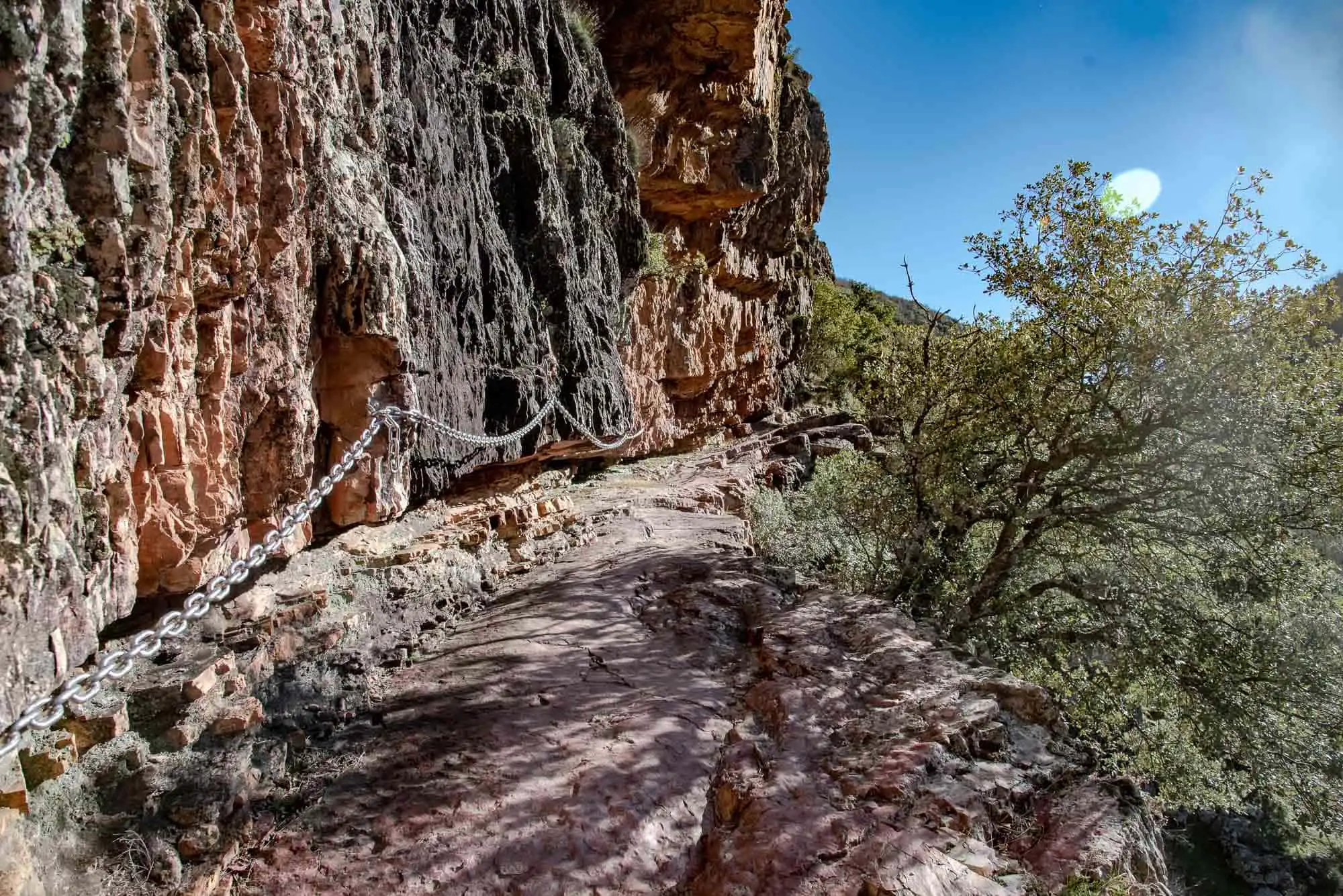
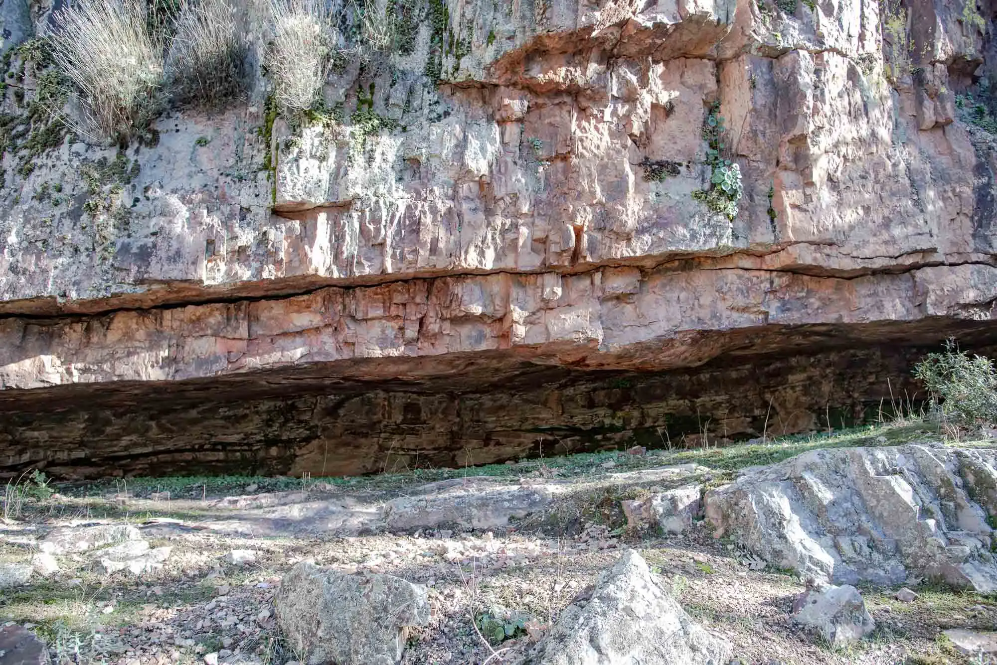
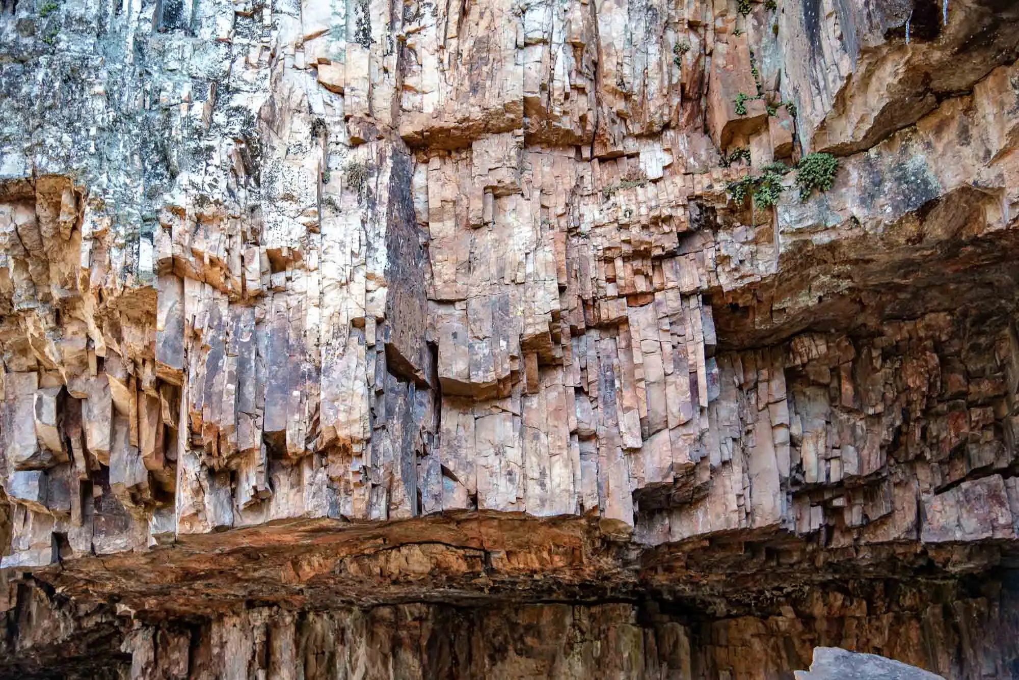
Las Cornisas is a crossing over the quartzite, naturally carved, where you must go very carefully and hold on to the chain at all times. It is not difficult (children and older people manage it), but if you suffer from vertigo I do not recommend it. When damp the rock is slippery, and the chain is for holding on to, not for the photo.
Las Cornisas.
The crossing, with the chain.
Beneath the ledge.
3 photos
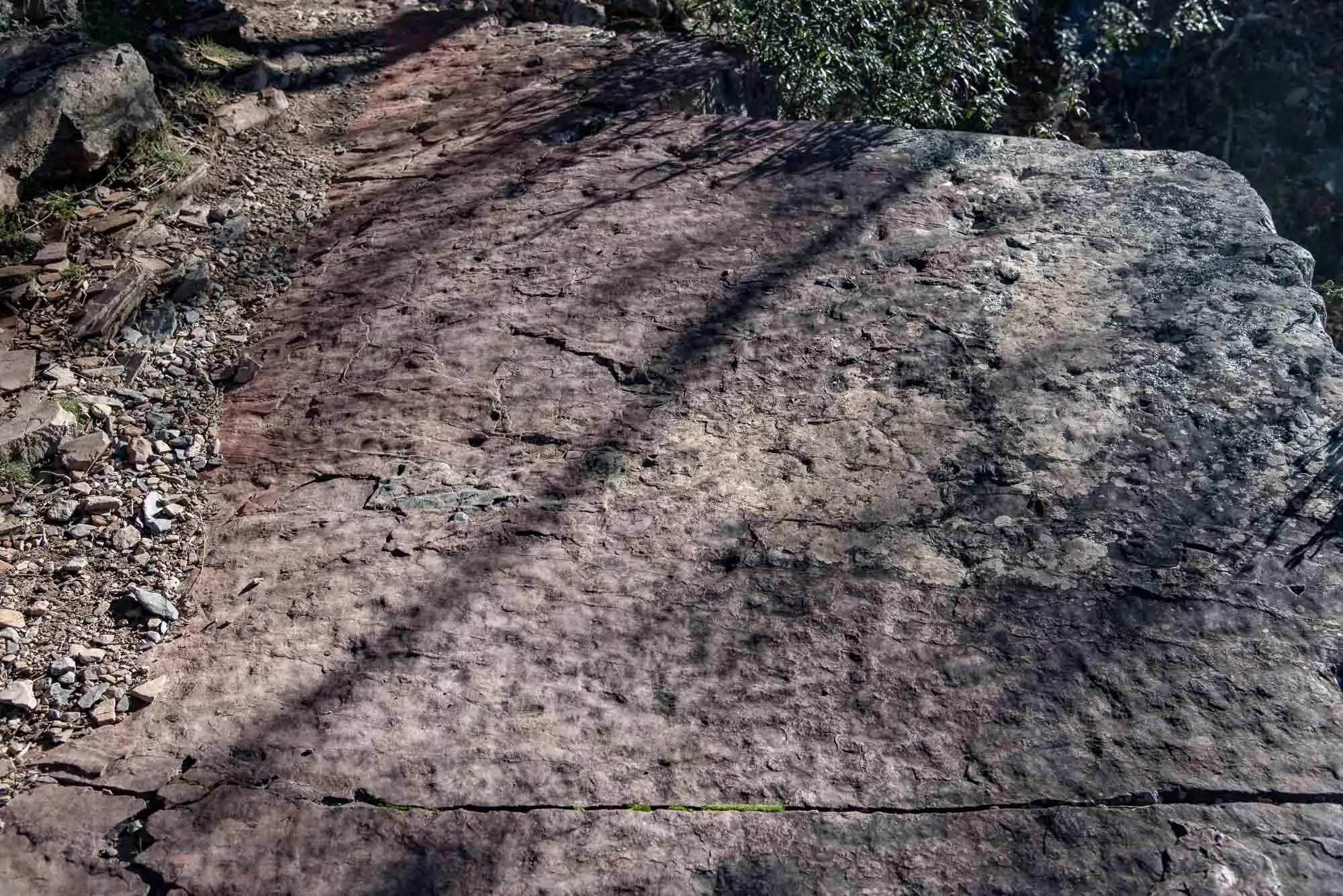
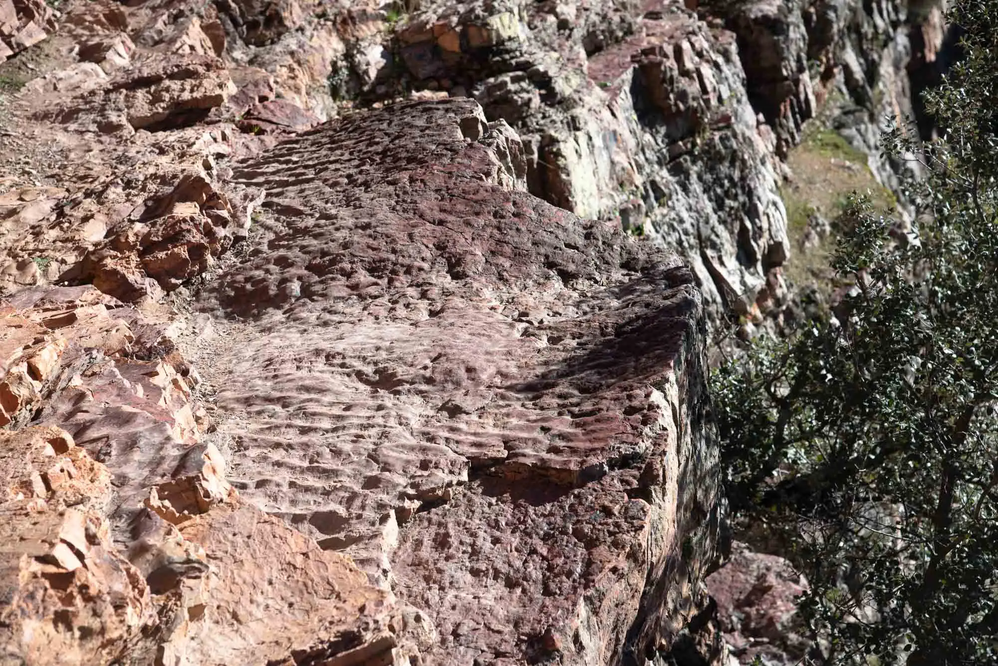
Underfoot there are quartzites, quartzitic sandstones and thin layers of slate, with trace fossils and large wave ripple marks. If they are asymmetrical they show which way the current was going; if they are symmetrical, a back-and-forth movement. Fluid escape structures can also be seen: as sediment piled up on top, the pore water rose and broke the layers on its way.
Ripple marks at Las Cornisas.
Ripple marks up close.
Symmetrical ripple mark: back-and-forth movement.
Asymmetrical ripple mark: the current ran in one direction.
4 photos
The red levels between the quartzite layers are fine sands or sandy slates stained by haematite (Fe2O3), a mineral that forms when iron combines with abundant oxygen; a little is enough to colour the rock. If the colour tends to orange it is limonite, hydrated haematite.
Red levels of haematite.
Layers of quartzite and slate.
2 photos
A few metres further on, a signposted turning leads to the Chorrera Chica, a hidden spot reached by following the stream. The escarpment has the same origin as El Chorro's: quartzites in contact with sandy and slaty rocks. A little lower down there is another fall where the quartzite layers can be seen better, slightly tilted up the valley.
The Chorrera Chica.
5km 5.9 – 8.3
Climb to the pass
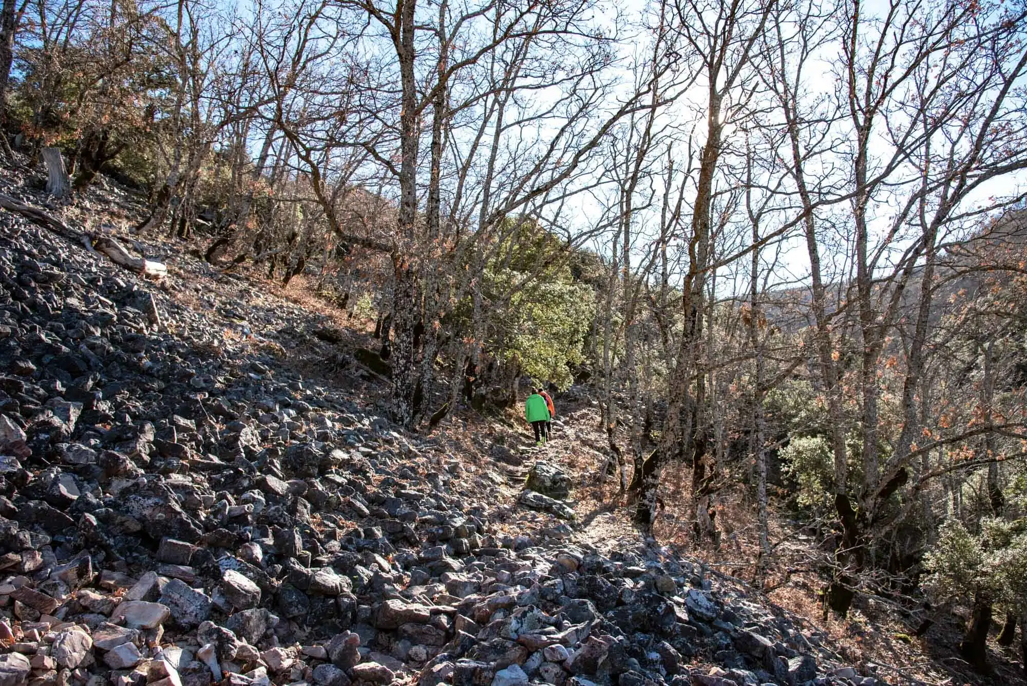
To climb the Rocigalgo we keep to the path beside the stream, where heathland rules. After leaving the Chorrera Chica and the quartzite layer that marks the syncline, another pedriza appears next to outcrops of quartzitic sandstones: angular stones from the quartzite layers higher up.
Pedrizas are usually associated with very cold periods, in which there is hardly any chemical weathering and frost shattering rules: water enters the cracks, freezes, expands and splits the rock. If a pedriza has no vegetation, it may still be moving a little each season. On the tops of the layers and in the cuts trace fossils can sometimes be seen.
Higher up, the quartzite has fractures that all follow the same direction. Those parallel lines are the foliation or schistosity, the deformation left by the Variscan Orogeny in the Carboniferous.
Then we cross a dense Pyrenean oak wood over quartzites covered in lichens and moss. It is the supra-Mediterranean belt, of heathers and oaks, which stand the cold better. At the foot of the stretch there is a colluvium, angular stones of various sizes in a matrix of sand and clay, and more pedrizas, some with mosses and lichens: a sign that they are almost still.
The oak wood, over the stones.
So we reach the Collado del Chorro, at 1,318 metres, with heathers shaped by the teeth of herbivores.
6km 8.3 – 9.1
The summit of the Rocigalgo
From the pass, a path on the left climbs to the summit. Heathers abound, some with the mark of herbivores, but what stands out are the orophilous species, those specialised in summits: the broom (Adenocarpus argyrophyllus) and the hedgehog broom (Echinospartum ibericum), both with yellow flowers, often protected with netting so that deer and ibex do not eat them.
On the quartzite crests live chasmophytic species, those of rock crevices, such as pinks (Dianthus lusitanus), sheep's-bit (Jasione crispa) and the endemic foxglove (Digitalis purpurea subsp. toletana). Around the trig point there is hardly any soil, and only medium-sized shrubs hold on: Spanish heath (Erica australis), a broom (Genista tridentata subsp. lasiantha) and a rockrose (Halimium ocymoides).
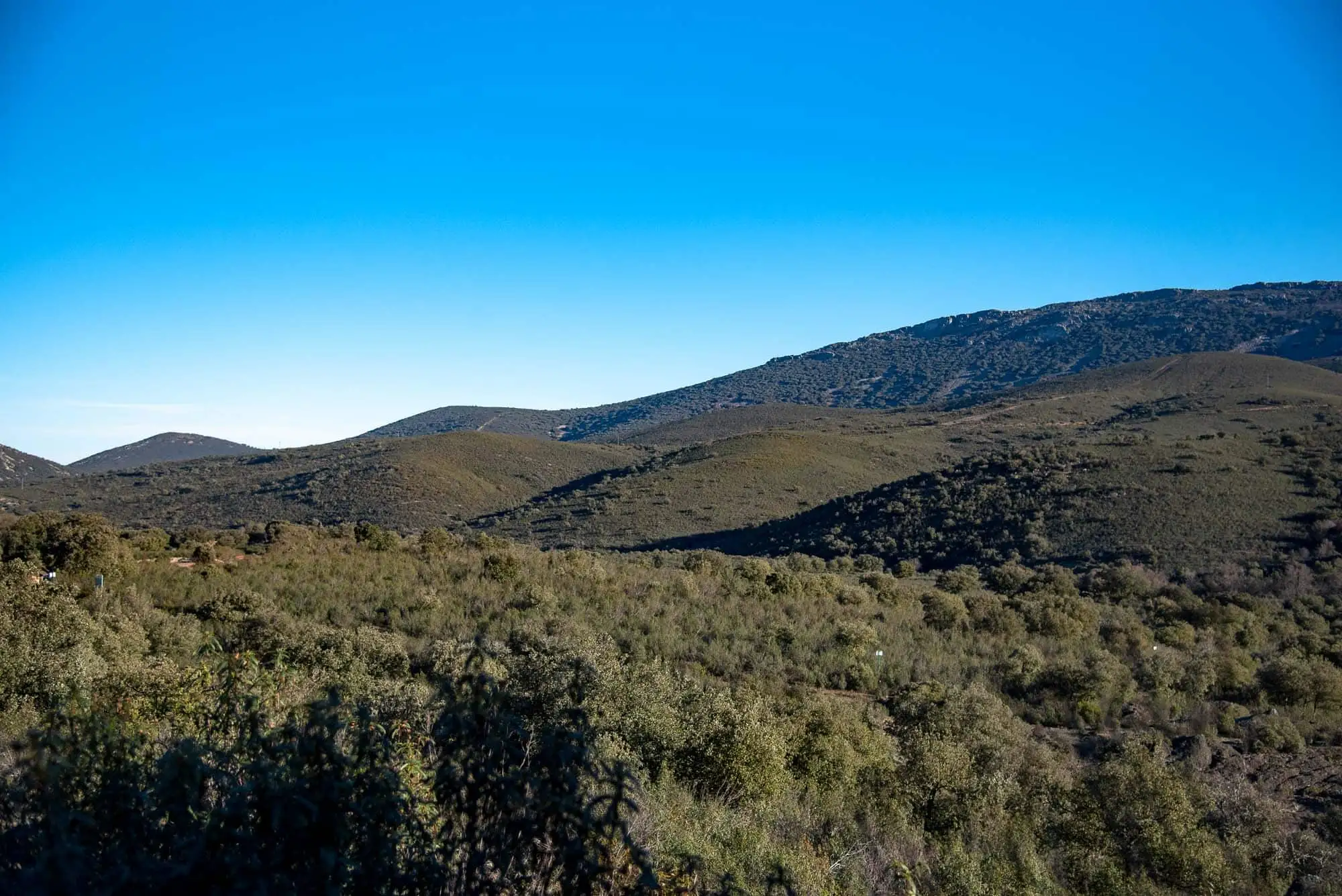
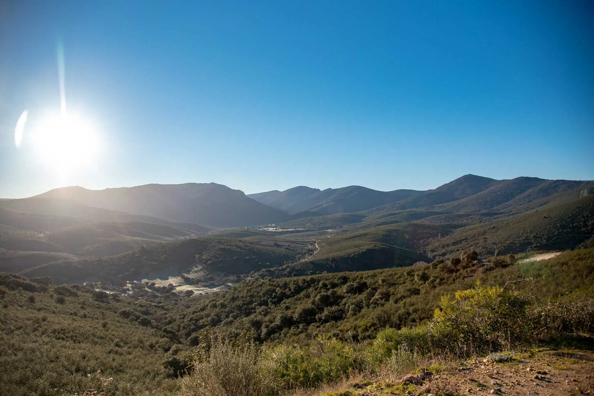
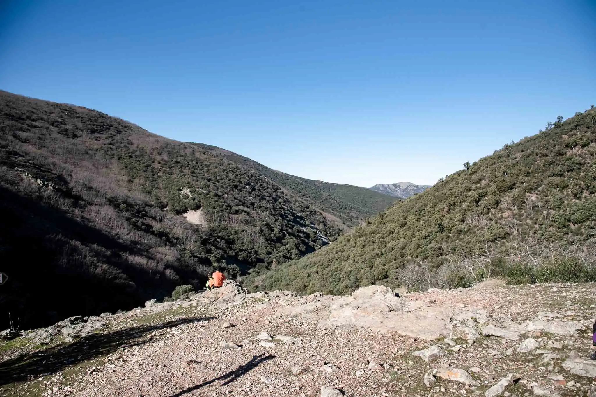
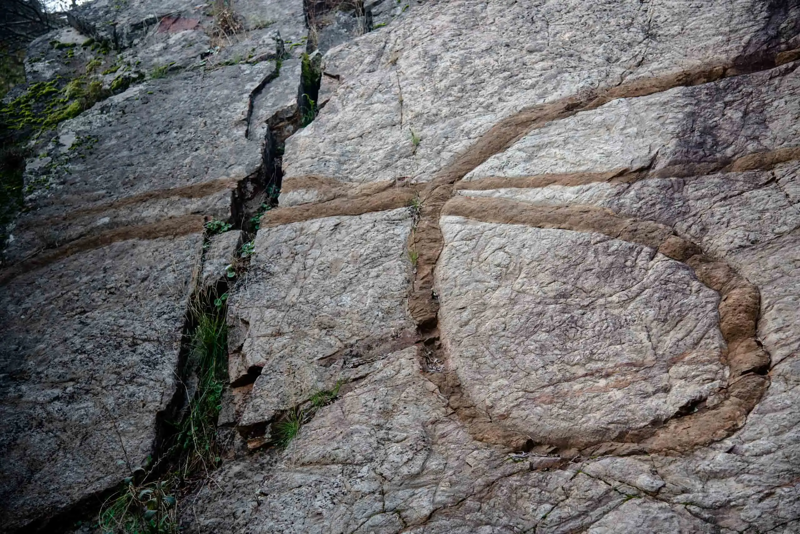
The Rocigalgo, at 1,448 metres, is the highest point of the Montes de Toledo8. From the top the landscape makes sense: to the south you see summits at the same height, remains of ancient surfaces that Alpine tectonics later left uneven. To the north, a fault shifts the layers of Armorican Quartzite in the Sierra Fría and the Rocigalgo: one of the crags is cut off suddenly and continues a little to the right. Beside the fault you can see its striations, scratched by the friction of the blocks.
1,448 metres: the roof of the Montes de Toledo.
7km 9.1 – 13.9
Along the ridge
The way back is by the forest track of the Rocigalgo Massif route, the one that climbs from the hut. It is a wide, signposted track, impossible to lose. The first 4.8 km are what the park leaflet calls a roller coaster, which is an optimistic way of saying that you go up and down several times9.
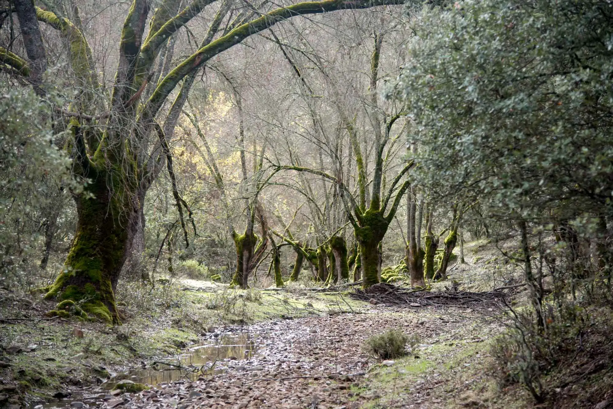
On one side lies a high-altitude oak wood, spectacular in autumn. The Pyrenean oak resists the cold well and looks for moisture, so in these mountains it grows between 1,200 and 1,400 metres, above the holm oak woods. Its roots go in among the loose stones of the pedrizas, which also keep the moisture, and that is why it colonises scree slopes better than other trees10.
Until a few years ago, flocks of goats roamed these summits. The passage between three rocks on the route was called the «contadero» (the counting place): the goats had to pass one at a time, and that is how they were counted. Today the high slopes belong to the Iberian ibex, which disappeared from these mountains at the end of the 19th century and was reintroduced with animals from Gredos11. On clear days, Gredos can also be seen from here.
The mountains from the path.
8km 13.9 – 20
The descent by the track
Past the Collado Frío, the track changes slope and the descent begins: 5.7 km of hairpin bends12. The oak wood gives way again to holm oak woods as we lose height, and the views open up over the crests of the surrounding mountains. It is common to see Griffon Vultures in flight.
At the end we cross the Chorro stream again and reach the hut. If someone in the group stayed at El Chorro, by now they have been waiting for quite a while.
Perea García-Calvo, R., Perea Ruiz-Tapiador, D. y Giménez Velasco, G. F. (2015). Vegetación y flora del Parque Nacional de Cabañeros. Volumen I. El paisaje vegetal: ecología, conservación y rutas de interés geobotánico. Madrid: Editorial Solitario.
Rodríguez Fernández, R. (ed.) (2017). Parque Nacional de Cabañeros. Guía geológica. Madrid: Instituto Geológico y Minero de España.
Newsletter «Desde el parque», Cabañeros National Park (OAPN): May–June 2023, January–February and March–April 2024, January–February and July–August 2025, January–February 2026. All the newsletters.