Route profileFrom 621 to 667 m above sea level. Move your finger or the mouse over it
600 m650 m
0 km2
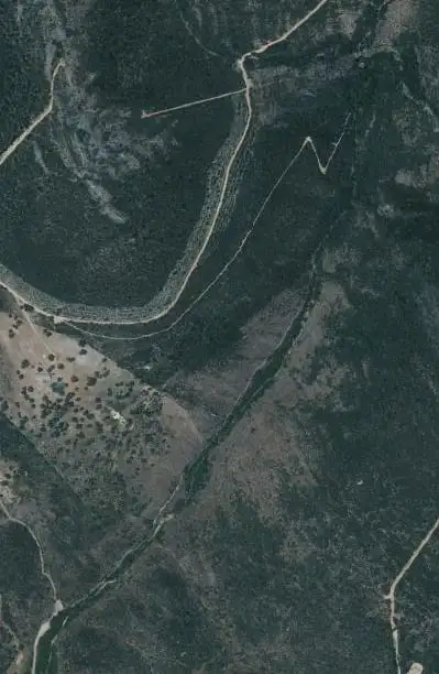
Maps: satellite and topographic maps from the Instituto Geográfico Nacional. Kilometres measured along the track (2.3 km); the page gives 2.5 km. Approximate heights (Copernicus model of 90 m).Download the track (GPX)
In much of the park your phone has no data. Save the route before you set off and you will have all of it, with photos, map and profile. Once in the park, open cabaneros.org in this same browser: if there is no signal, the site takes you to your saved routes. GPS works without signal: on the map, “Where am I” shows your position.
It takes a few megabytes and deletes itself after 60 days.
On iPhone, Safari deletes saved data if you go more than a week without visiting the site, so save it a few days before you go.
Practical information
AccessSelf-guided
Duration2 h
Distance2.5 km, there and back
Ascent21 m
DifficultyLow
Booking
Not needed.
Start and parking
Car park and picnic area of La Chorrera, 4 km from Horcajo de los Montes along the Chorrera track (3 km paved and 1 of dirt).
Water
A spring just before the waterfall.
Bear in mind
It can be done with small children, from 4 or 5 years old. Take care not to slip on some rocky stretches. It is a protected landscape, outside the national park but right next to it.
It is not a national park route, so it has no official data: these are the ones from this website.
Recommendations
Hiking boots
Or, failing that, trainers. You have to cross damp and muddy areas where you can slip.
A small bottle
It is a short route, and just before reaching the waterfall there is a spring where you can drink and cool off.
In summer
Do not forget sunglasses, a cap and sun cream. Bear in mind that the stream dries up in summer and the waterfall can shrink to a trickle.
In spring
The route becomes more interesting when the yellow-flowered broom thickets bloom on the slopes around the waterfall.
Binoculars
For the wildlife: vultures over the cliffs and, in the stream, the Common Kingfisher or the White-throated Dipper.
Stage by stage
5 stages, from car park to car park. The plan follows your reading: the light dot is where you are.
1km 0 – 0.3
The path and the holm oak wood
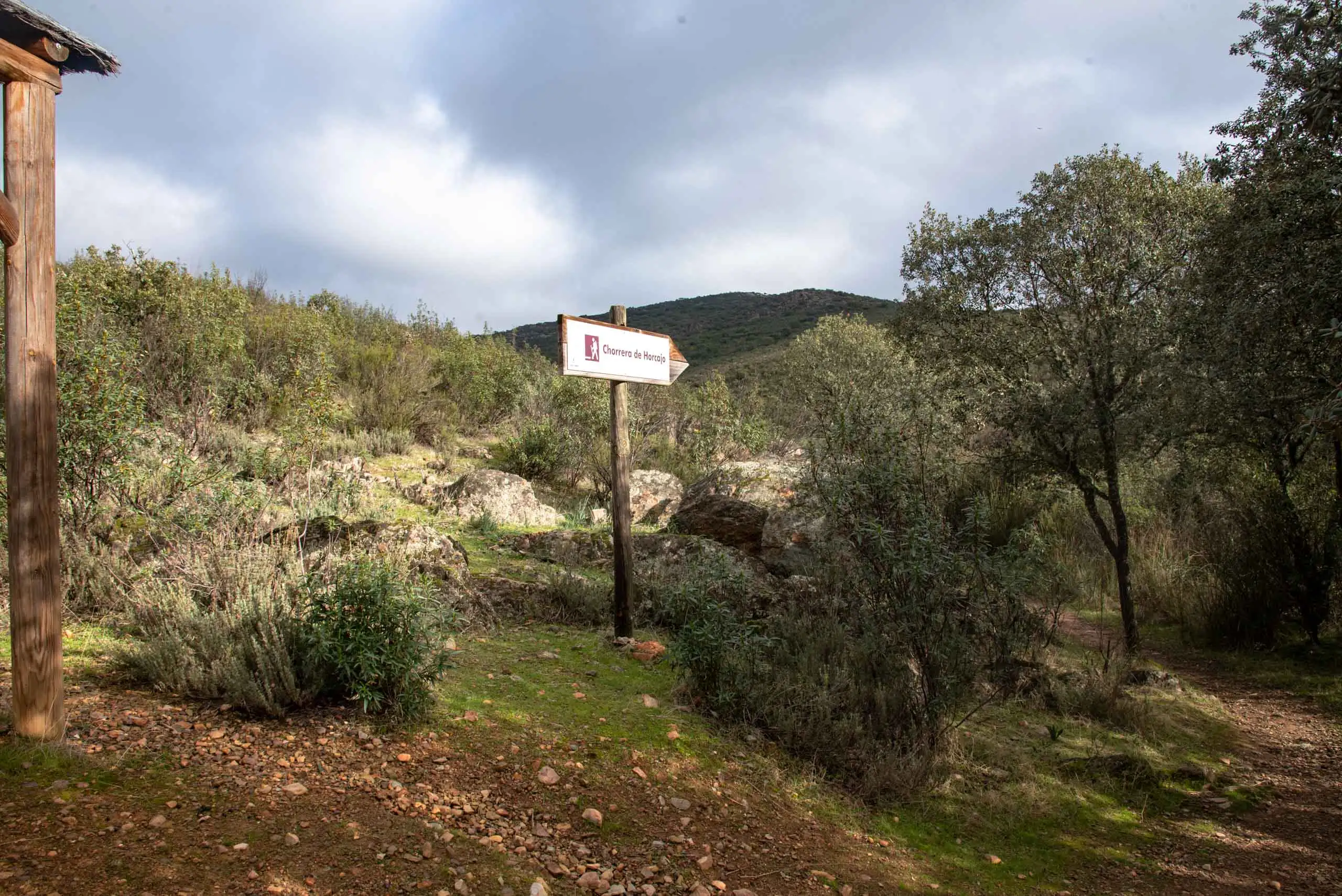
The track that brings you here is a drove road running alongside the Chorrera stream itself, a brook that dries up in summer and on whose banks tall poplars rise. It runs between fenced sheep estates to the picnic area next to the car park. There we leave the car or the bike and begin the path.
The start of the route.
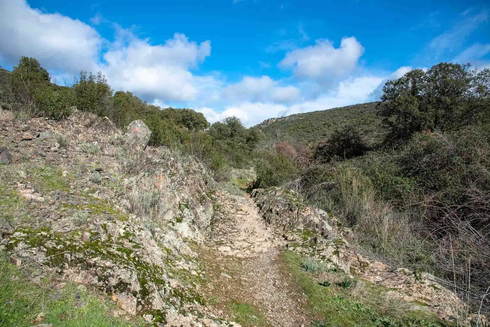
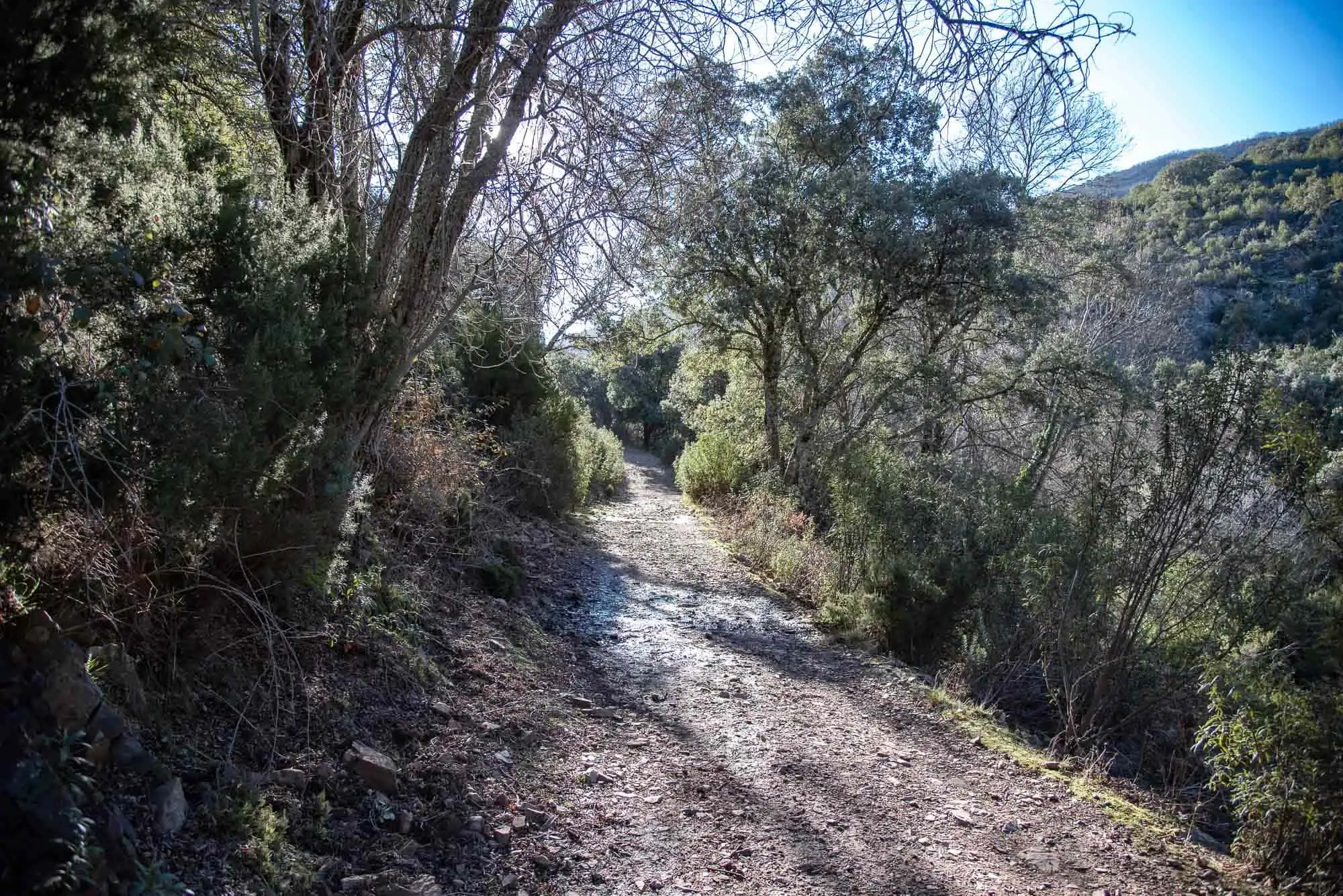
The path, narrow and with stretches of rock.
2 photos
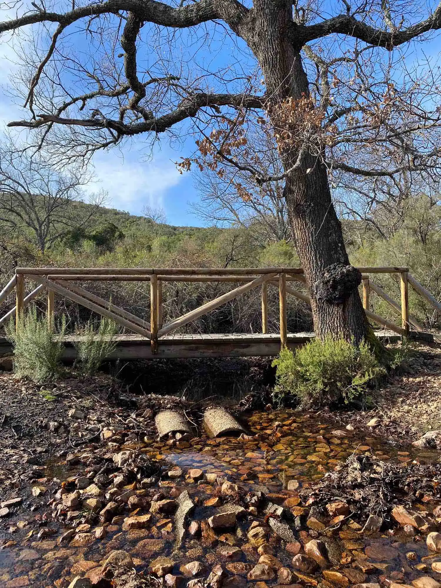
The path is narrow and you have to walk in single file; it is the tidiest way to make sure the first person collects all the cobwebs. Signs guide us all along the route, which consists of following the path for a little more than a kilometre. It has earth sections, rocky areas of slates and sandstones and a few wooden walkways. In the damper places you need to walk with a little care so as not to slip, but never with difficulty.
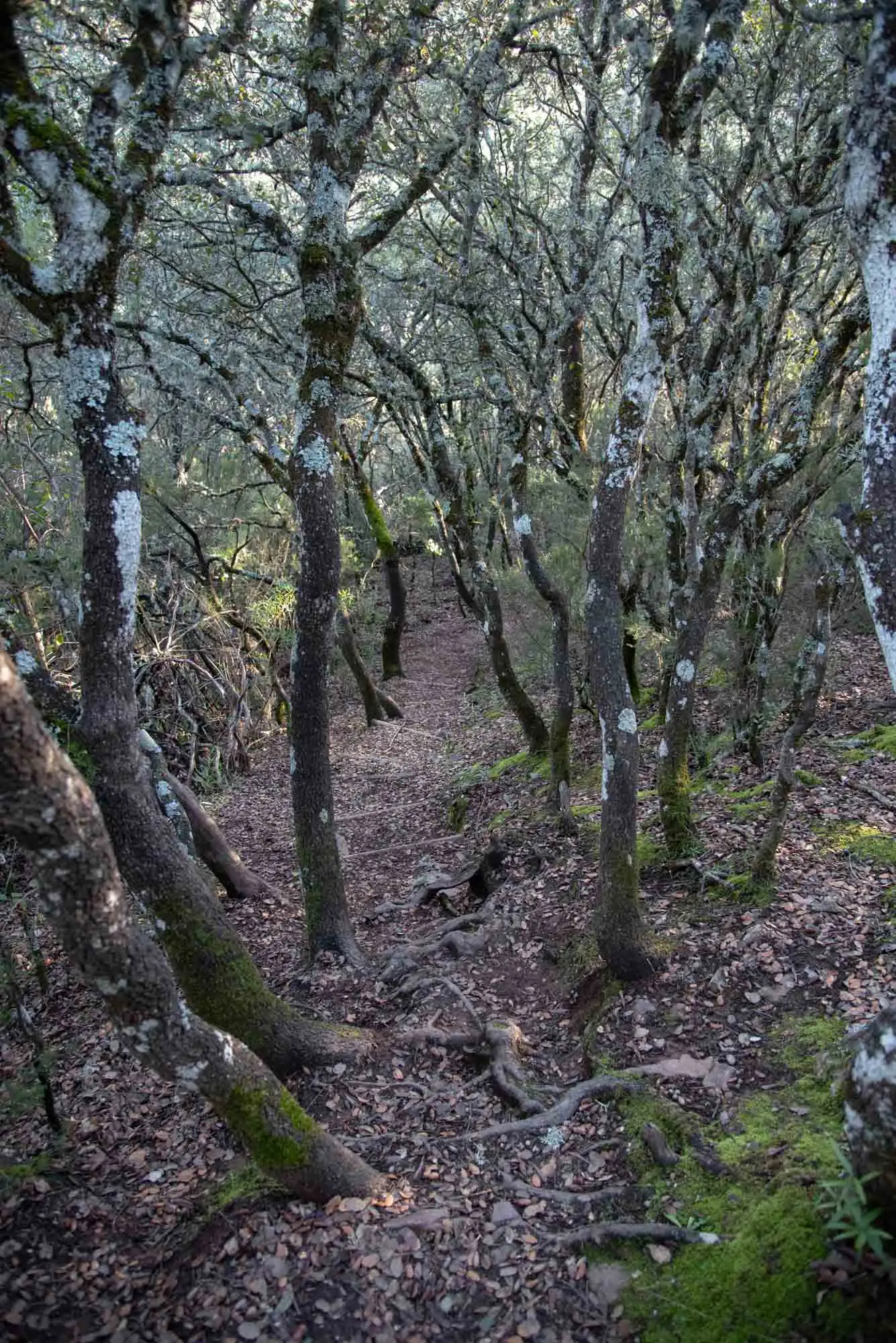
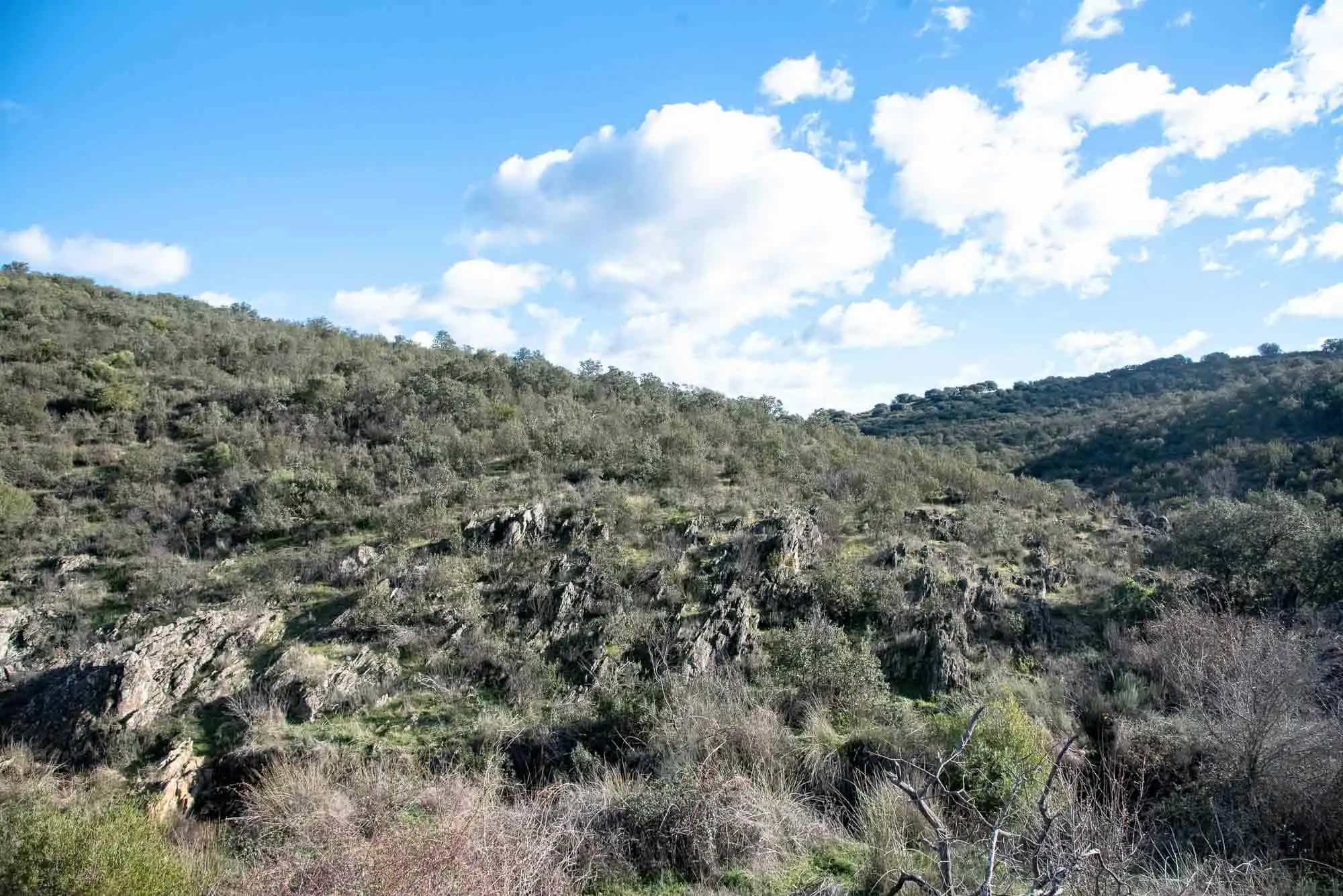
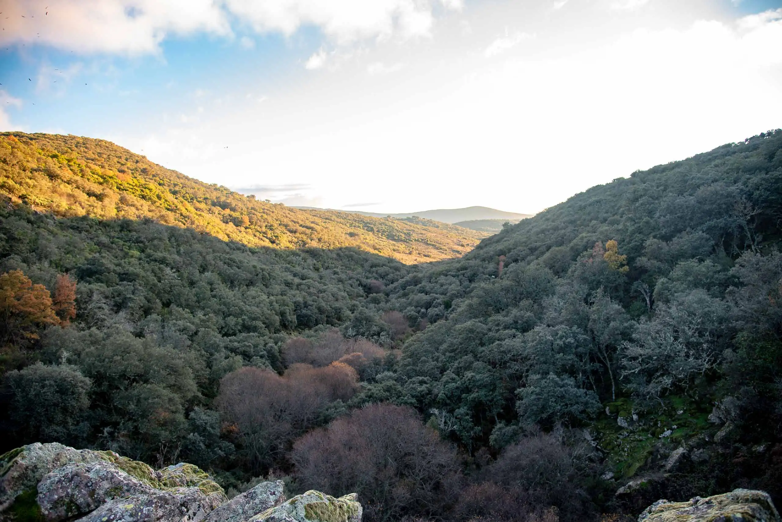
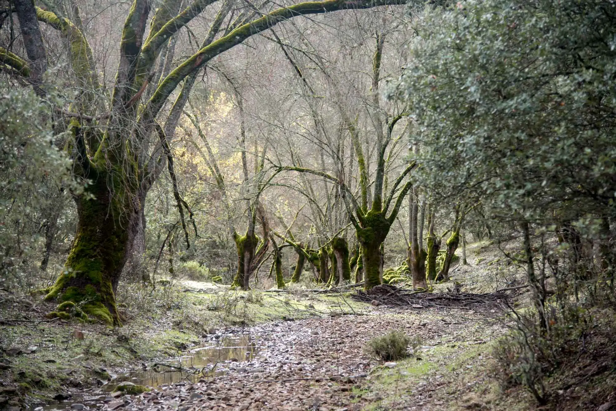
The first stretch is Mediterranean woodland: holm oaks, Portuguese oaks and their replacement scrub, with rockroses and spurge flax. On the slopes around the valley holm oak woods, rockrose thickets, broom thickets and different kinds of heather dominate.
The holm oak wood of the first stretch.
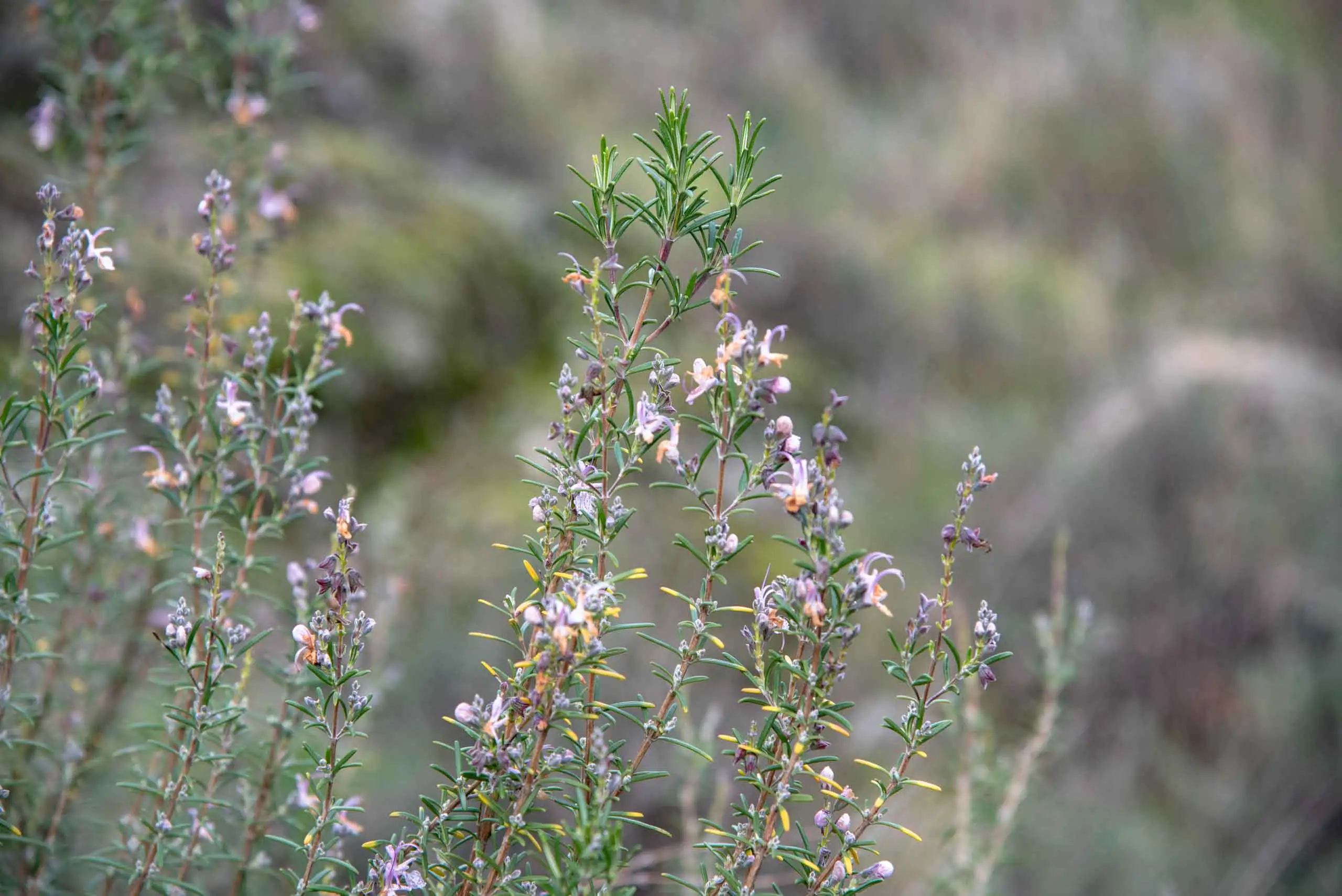
Rosemary.
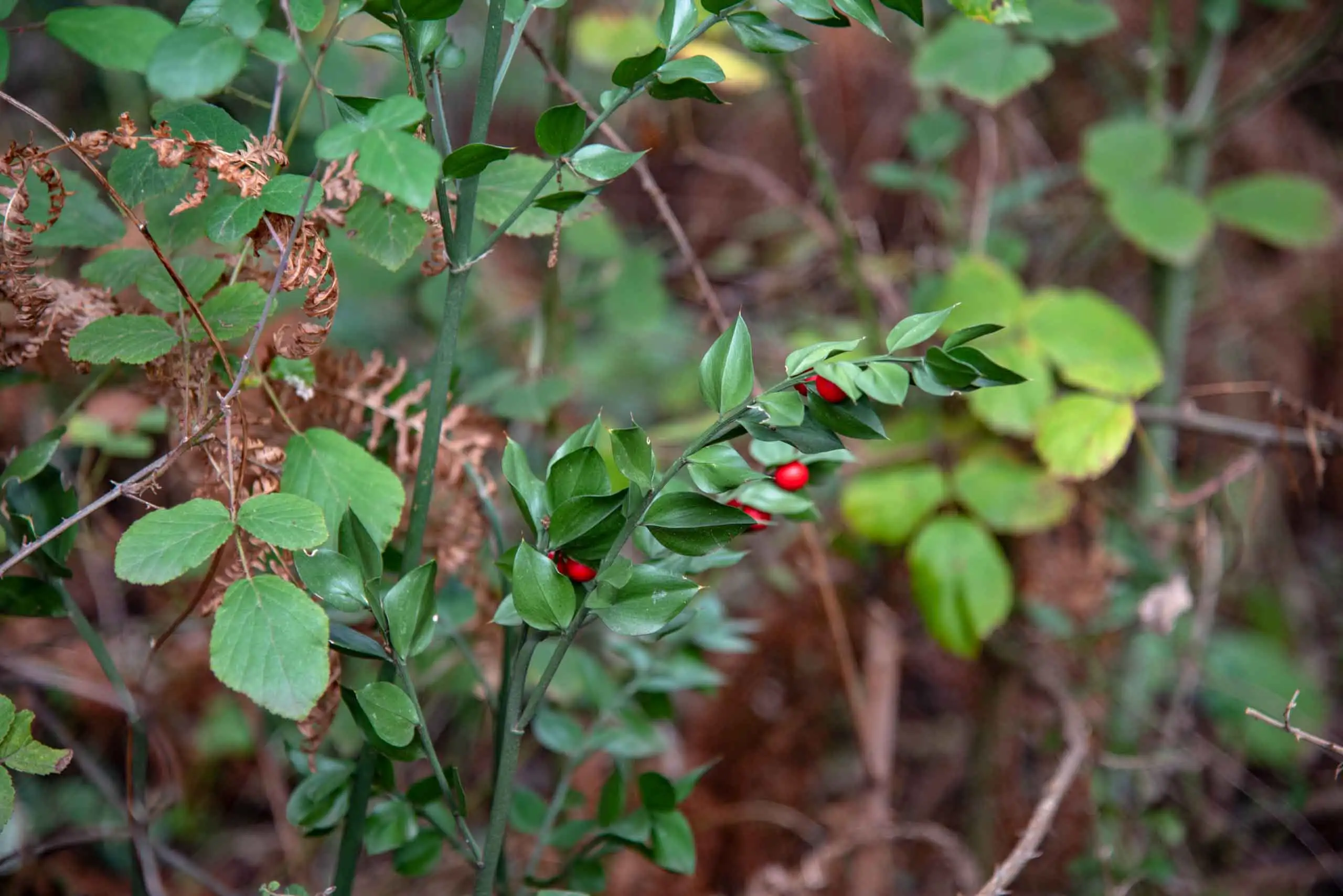
Butcher's-broom (Ruscus aculeatus).
3 photos
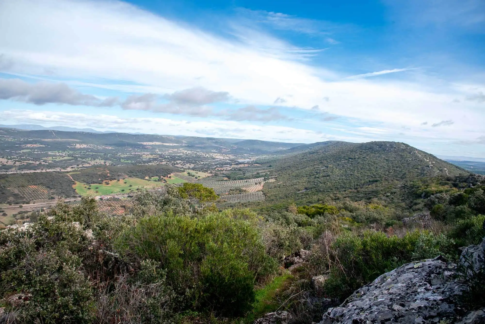
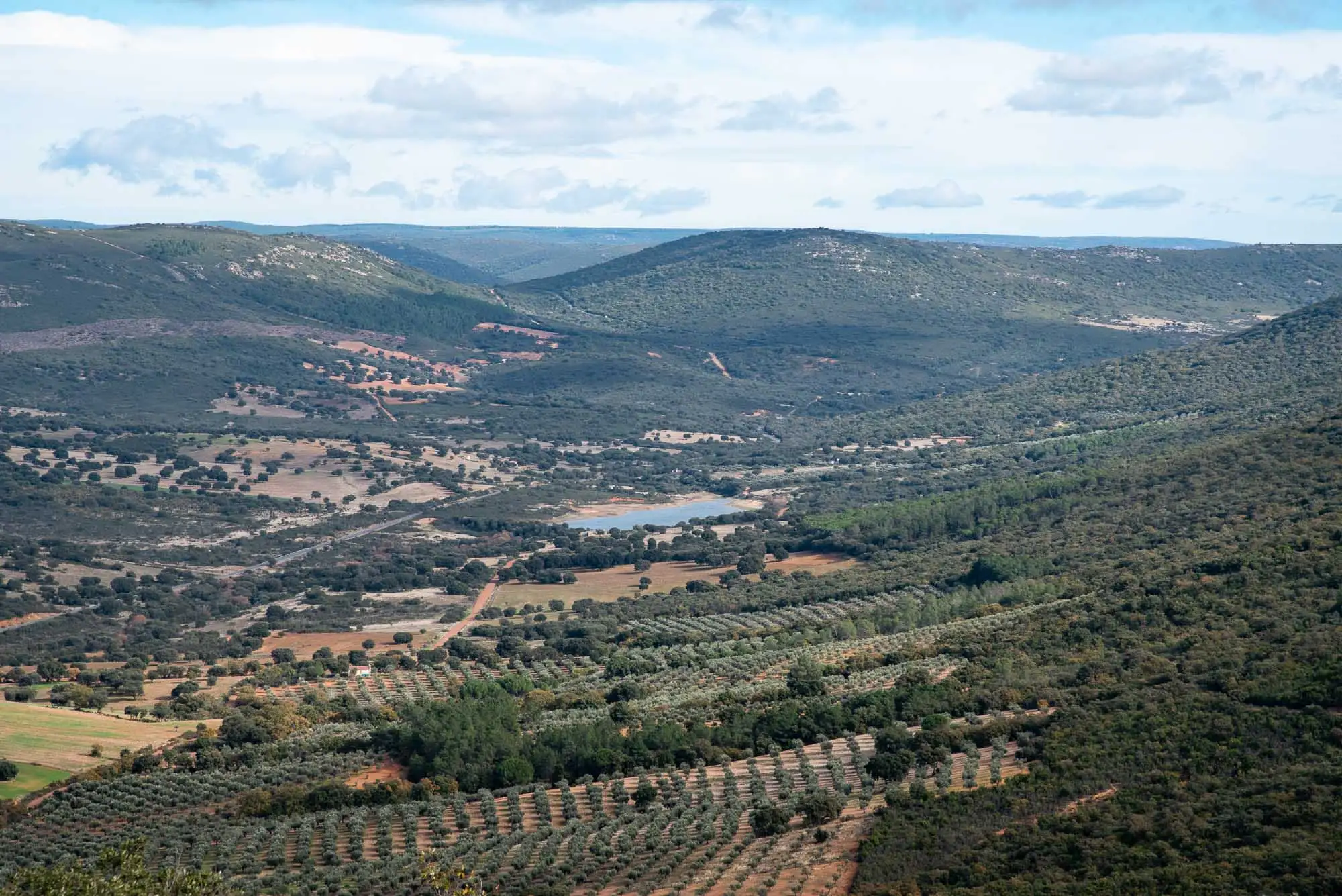
The site covers 38 hectares bordering Cabañeros National Park: the fences that mark its limit are at the top of the waterfall. For its Mediterranean woodland, its gallery forest and its geological interest, the regional government of Castilla-La Mancha declared it a Protected Landscape.
2km 0.3 – 0.6
The Pusa Slates
La Chorrera has great geological interest. We walk over an ancient seabed, with Lower Palaeozoic rocks more than 500 million years old, and in them you can see ripple marks, lamination, foliation and faults. The route goes from the oldest rocks, the Pusa Slates, to the youngest, the Azorejo Sandstones and the Intermediate Beds1.
It was a shallow sea, but with different zones. Where the water was shallower, near the coast, sands were deposited, which are now sandstones and quartzites; further out and deeper, silts and clays, which are now slates. The variations are due to the rising and falling of sea level, the transgressions and regressions. Walking towards the waterfall we see how that sea gradually became shallower.
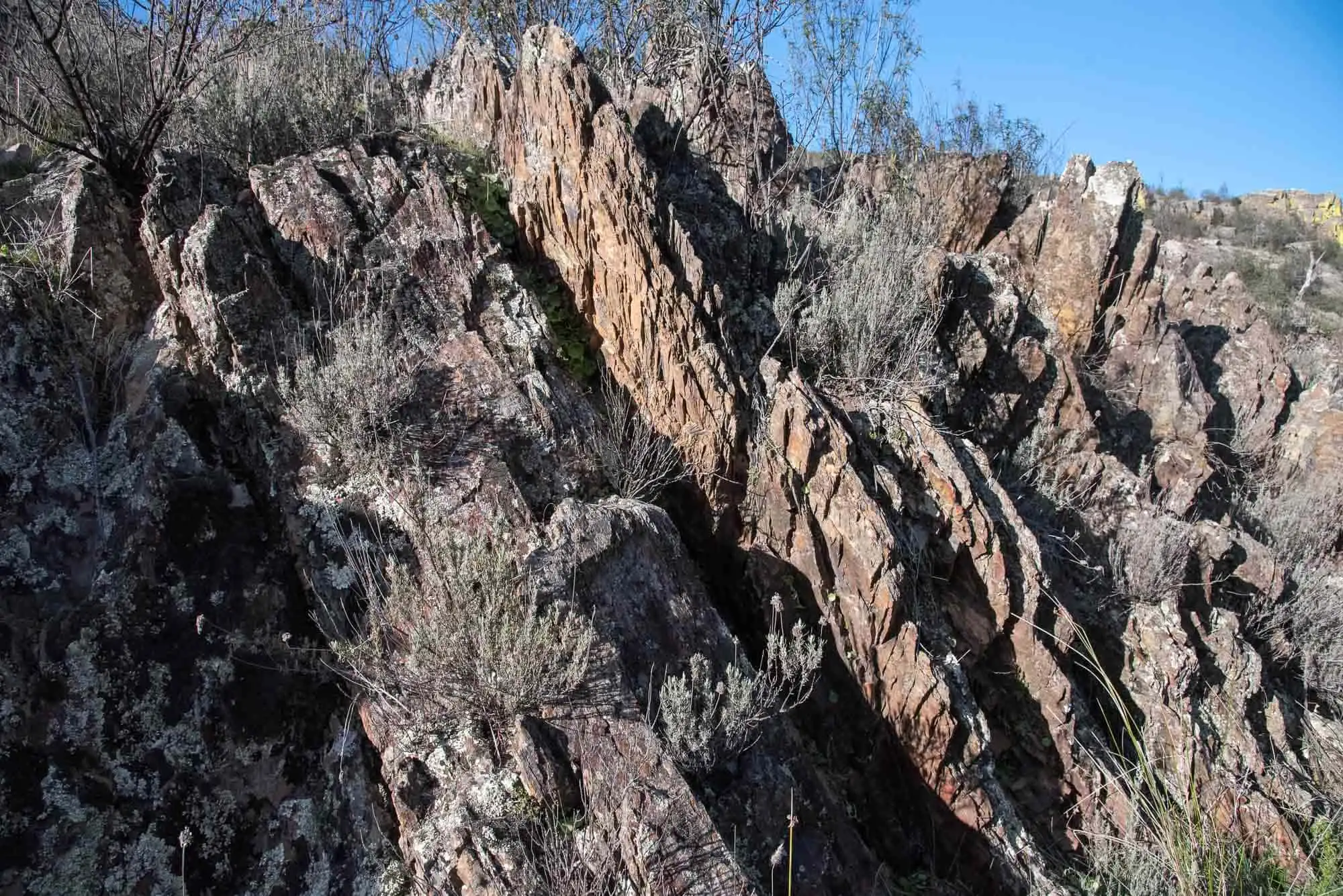
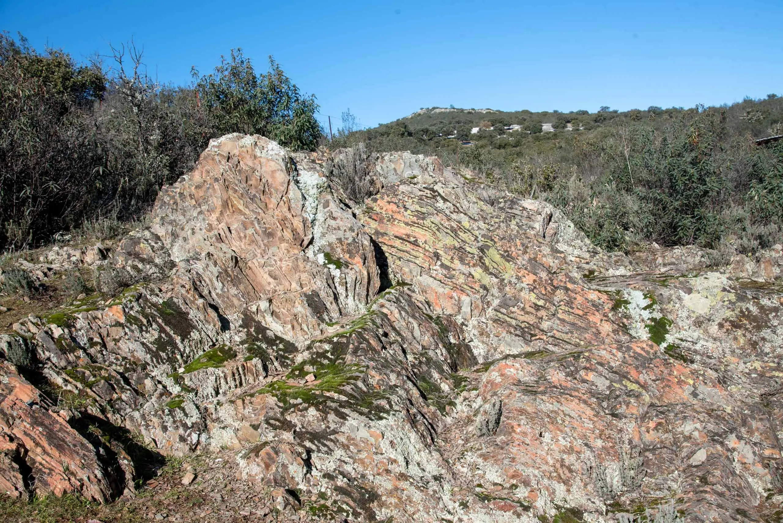
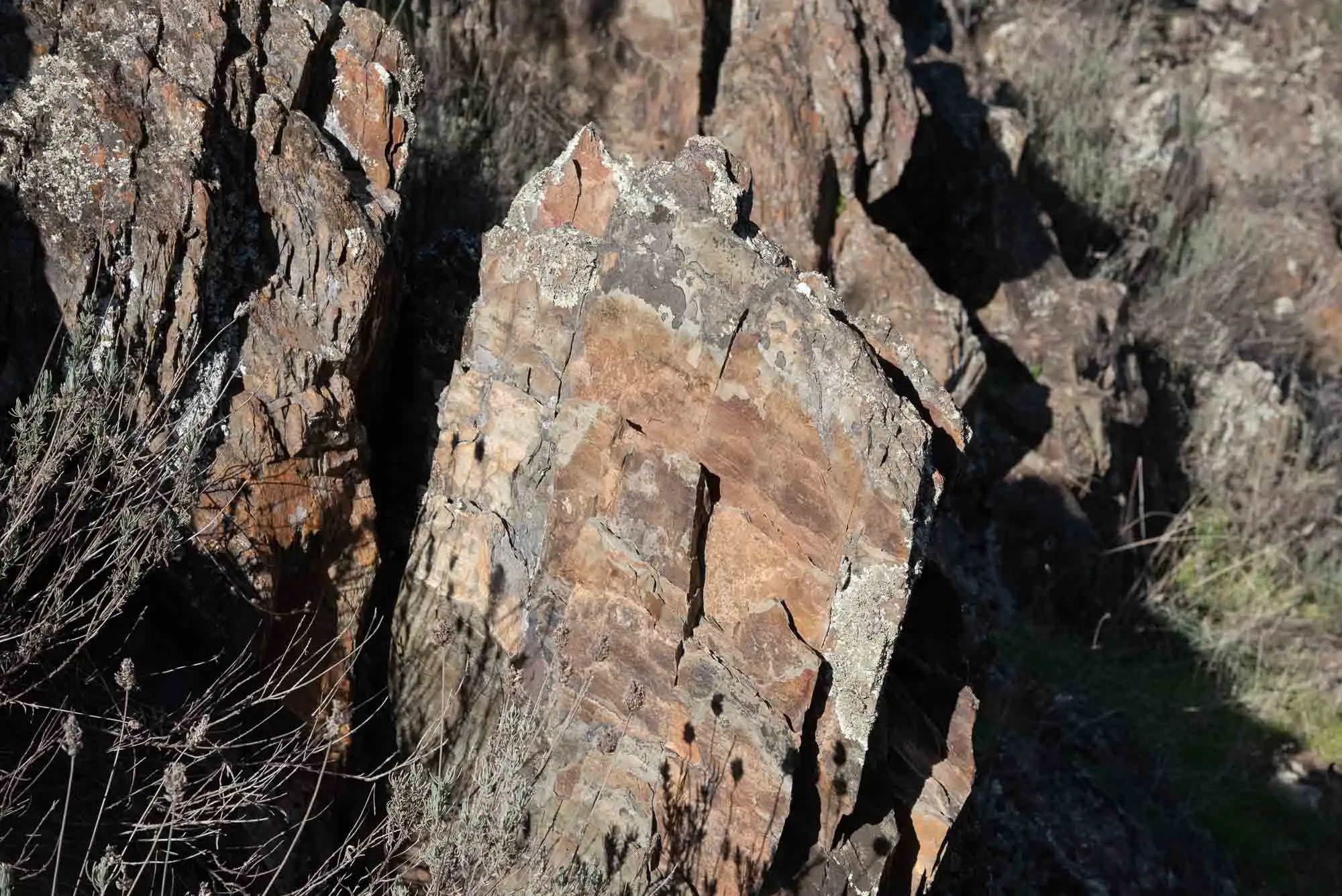
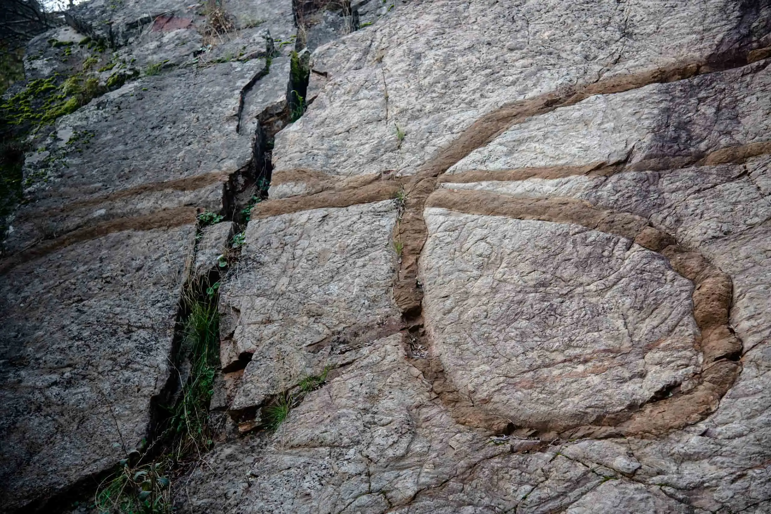
The first outcrop is of Pusa Slates, from the Lower Cambrian. Unlike the sandstones, which are made of quartz, the slates are made of clay minerals. Here they appear with intercalated sandstone layers and two structures can be told apart. The bedding is that of the original sediments, layers from half a centimetre to a metre thick that rivers carried from the erosion of ancient reliefs to the marine shelf. The foliation is an arrangement in sheets: under the pressure of the Variscan Orogeny, at the end of the Palaeozoic, the minerals grew and reoriented until they all lay parallel, and the layers were folded until they stood vertical.
Pusa Slates.
Foliation in the slates.
The layers, stood on end.
Pusa Slates.
4 photos
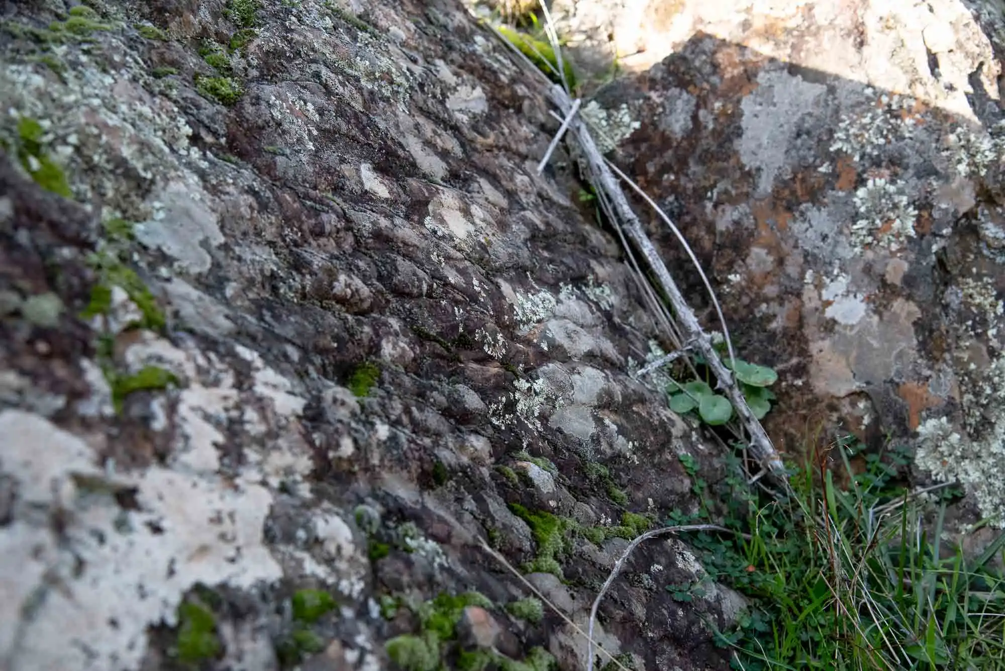
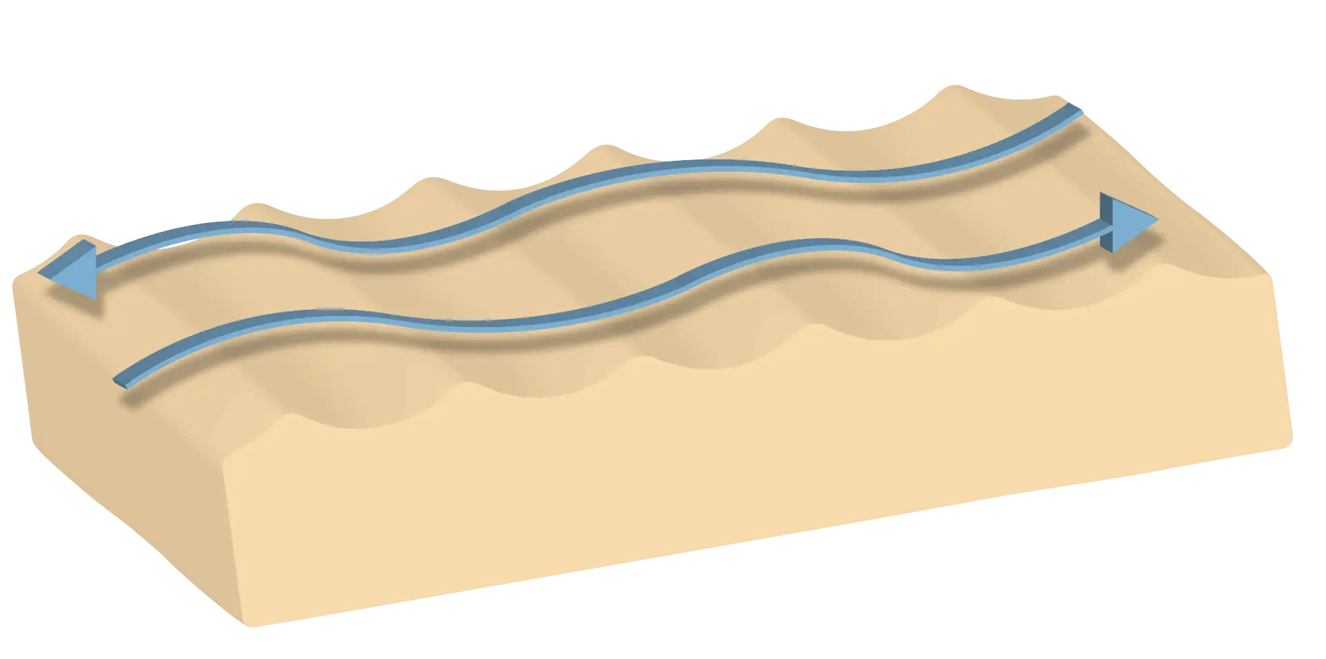
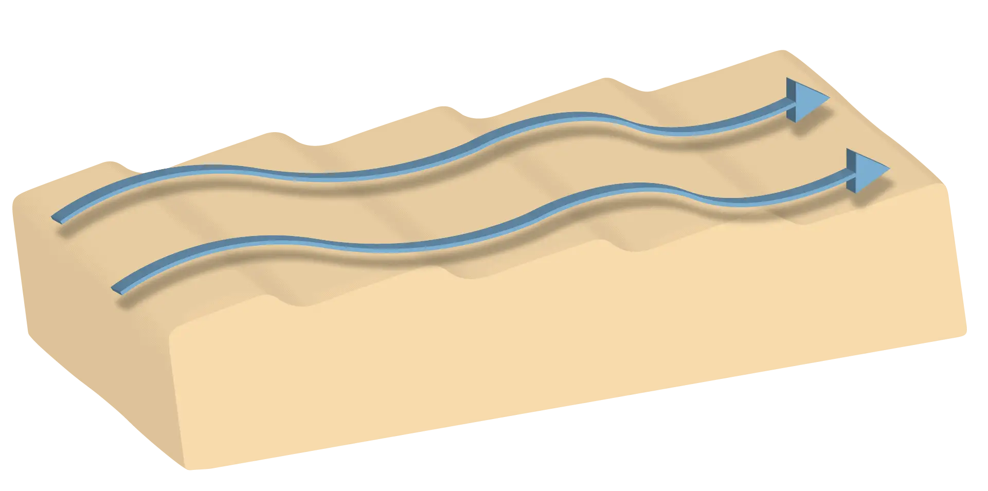
In the sandier levels you can see ripple marks, the marks left by marine currents as they dragged sediment. If they are asymmetrical, they show the direction and sense of the current; if they are symmetrical, a back-and-forth movement, like that of the waves.
Ripple marks (ripple marks) at La Chorrera.
Symmetrical ripple mark: back-and-forth movement.
Asymmetrical ripple mark: the current ran in one direction.
3 photos
Rocks from a sea more than 500 million years old.
3km 0.6 – 1
Sandstones, quartzites and a fault
Further on we pass from the slates to the Azorejo Sandstones. They are from the same period, but younger, and that is why they lie on top. Between the two there is a transition zone; when the sandstones already dominate, we are at the contact. More sand means that the sea was shallower and the currents stronger. Among the sandstones finer rocks also appear, such as silty sandstones or sandy slates, from moments or places with weaker currents.
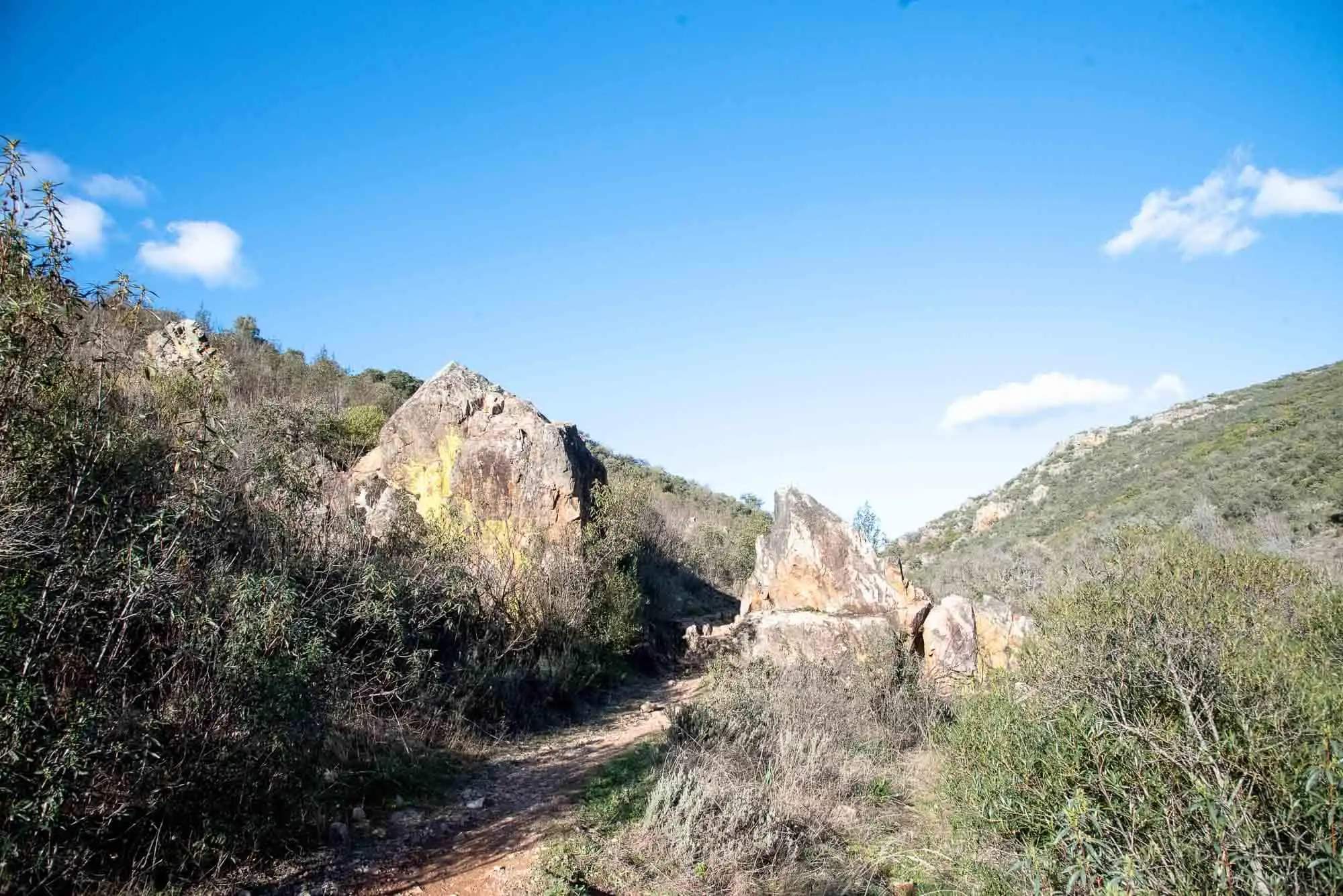
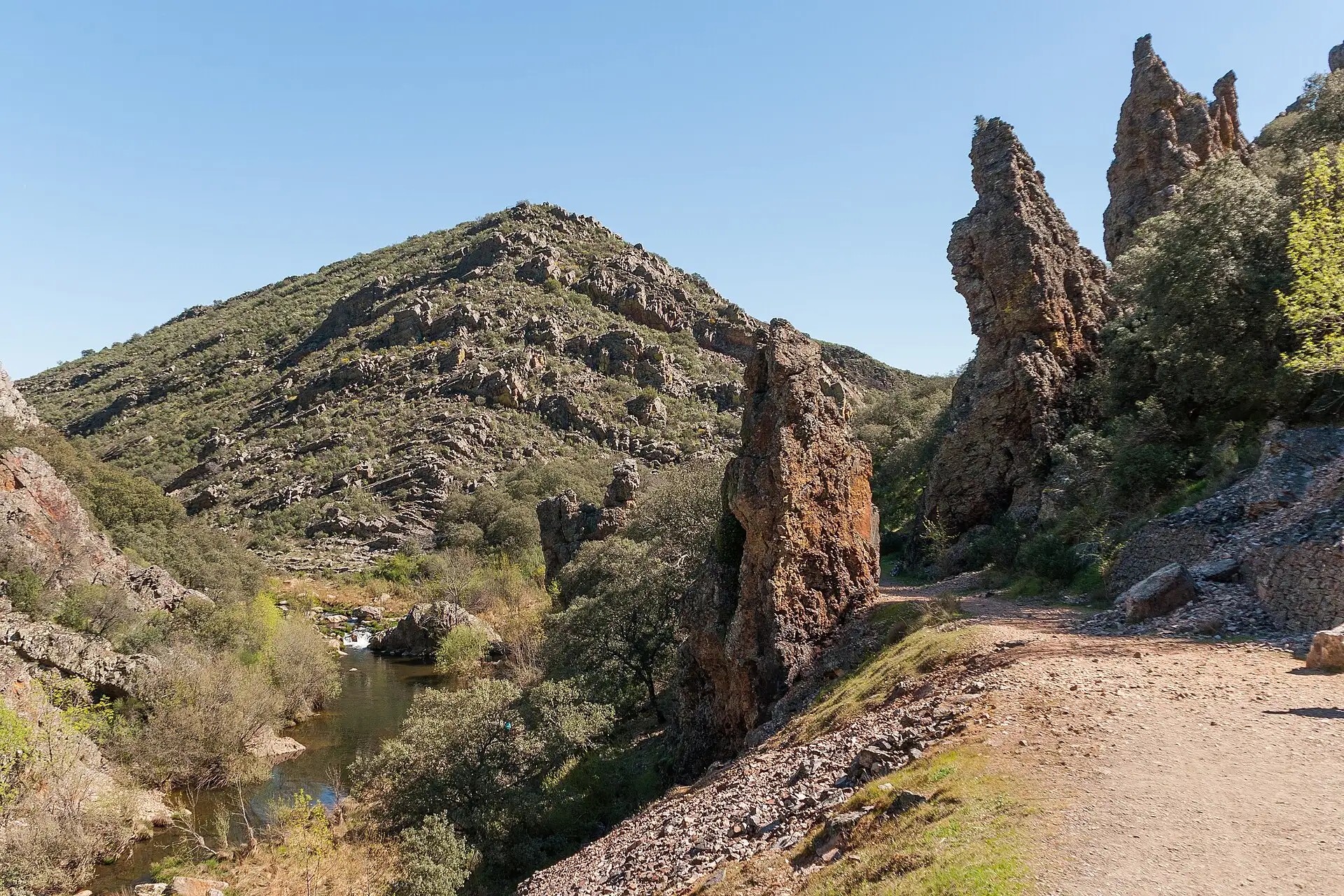
Then we come across a rocky outcrop divided in two, one on each side of the path, as if we were crossing the threshold of a door. It is a layer of quartzite, a rock much more resistant to erosion than the sandstones around it: its quartz grains hardly change.
The quartzite layer within the Azorejo Sandstones.
If we look closely, the two blocks of the gate are displaced from each other. A fault runs between them, and its movement has slid the layers. On the wall of the upper block, the one higher on the slope, you can see a fault breccia: crushed rock with angular quartzite fragments, formed by the collision of the blocks, as in the quartzite towers of the Boquerón del Estena. There are also striations, lines on the rock that mark the direction of the friction. Here they are horizontal, so the blocks moved horizontally2.
4km 1 – 1.2
The riverside wood and the waterfall
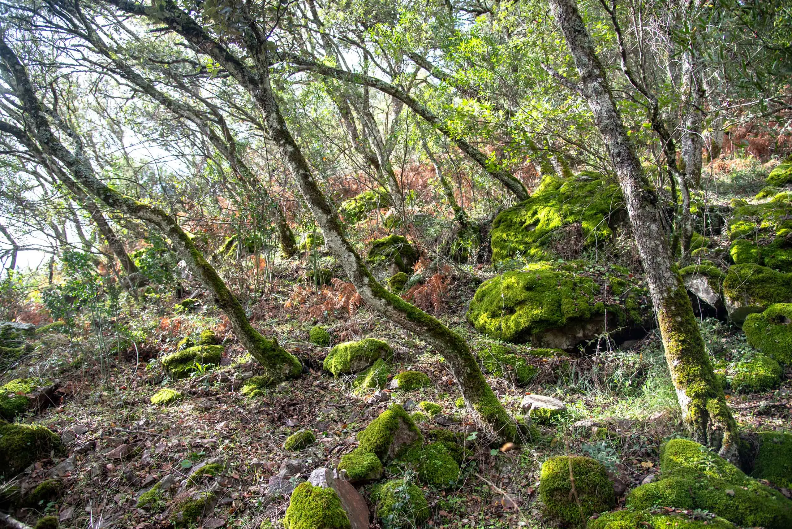
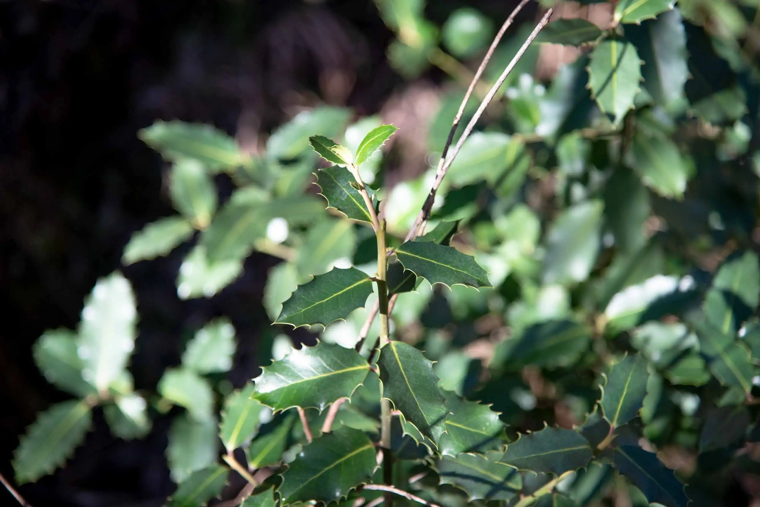
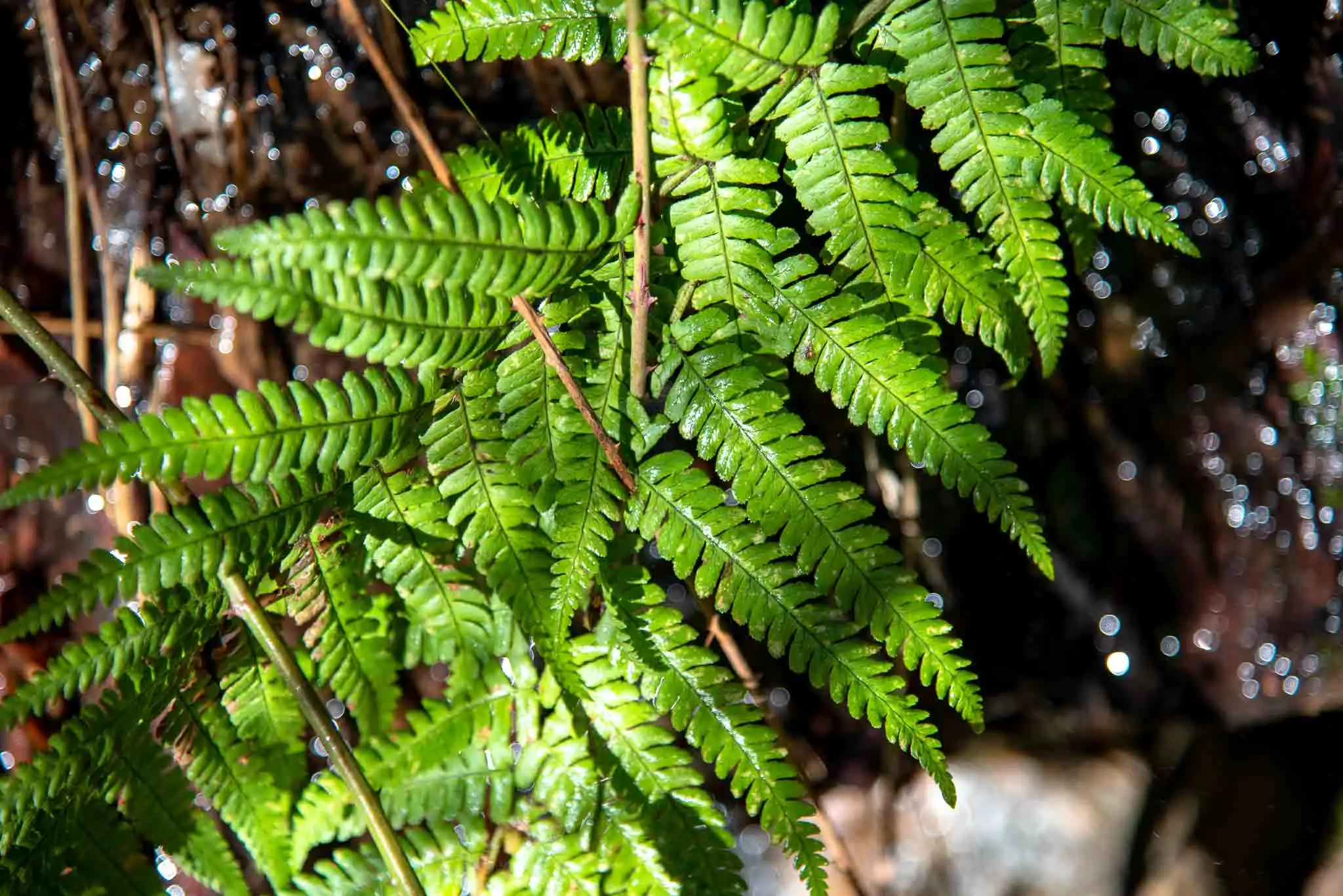
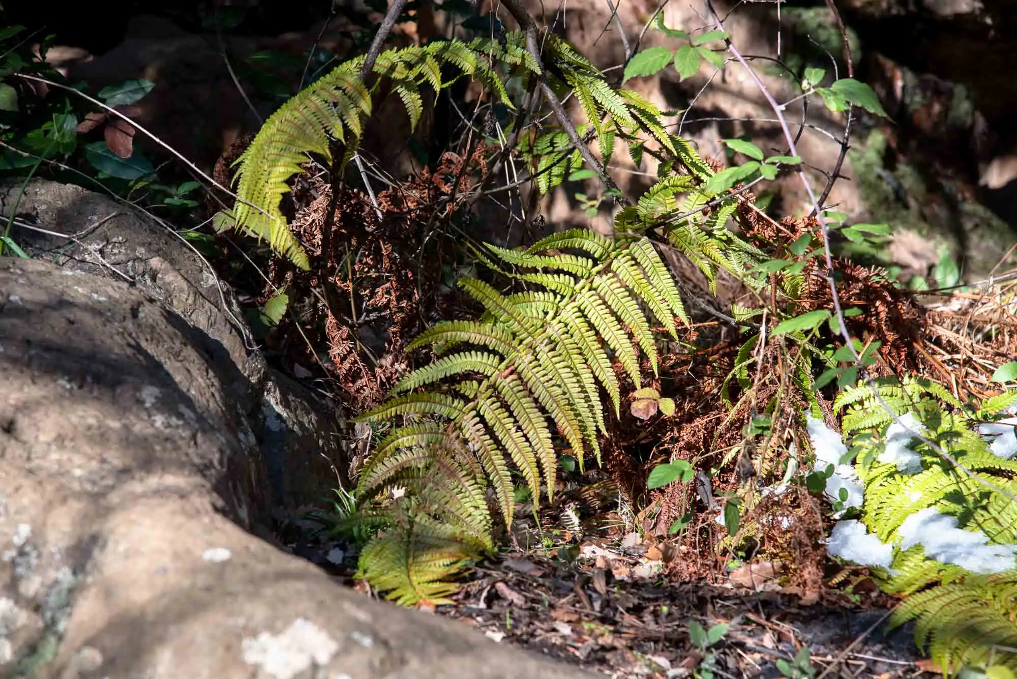
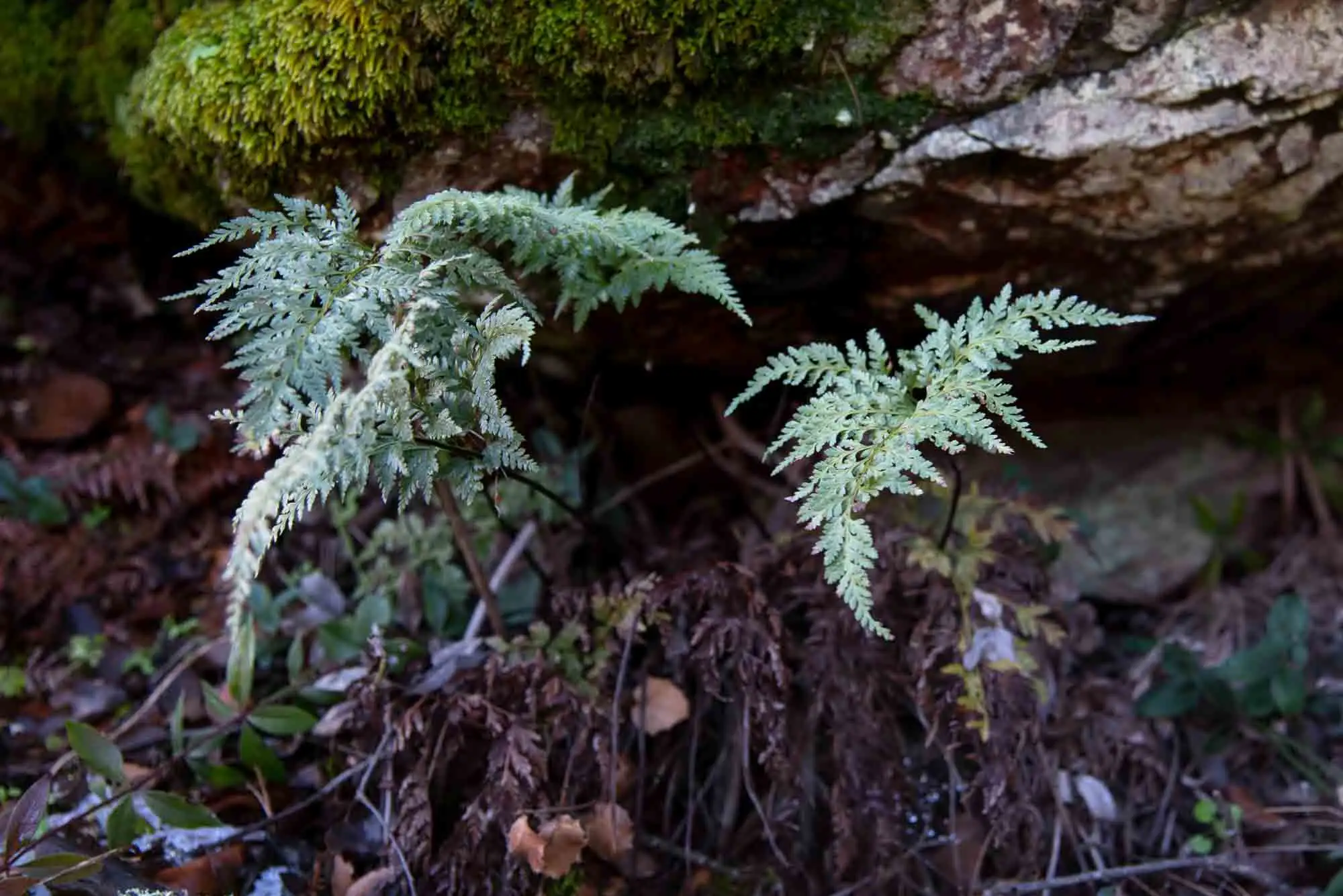
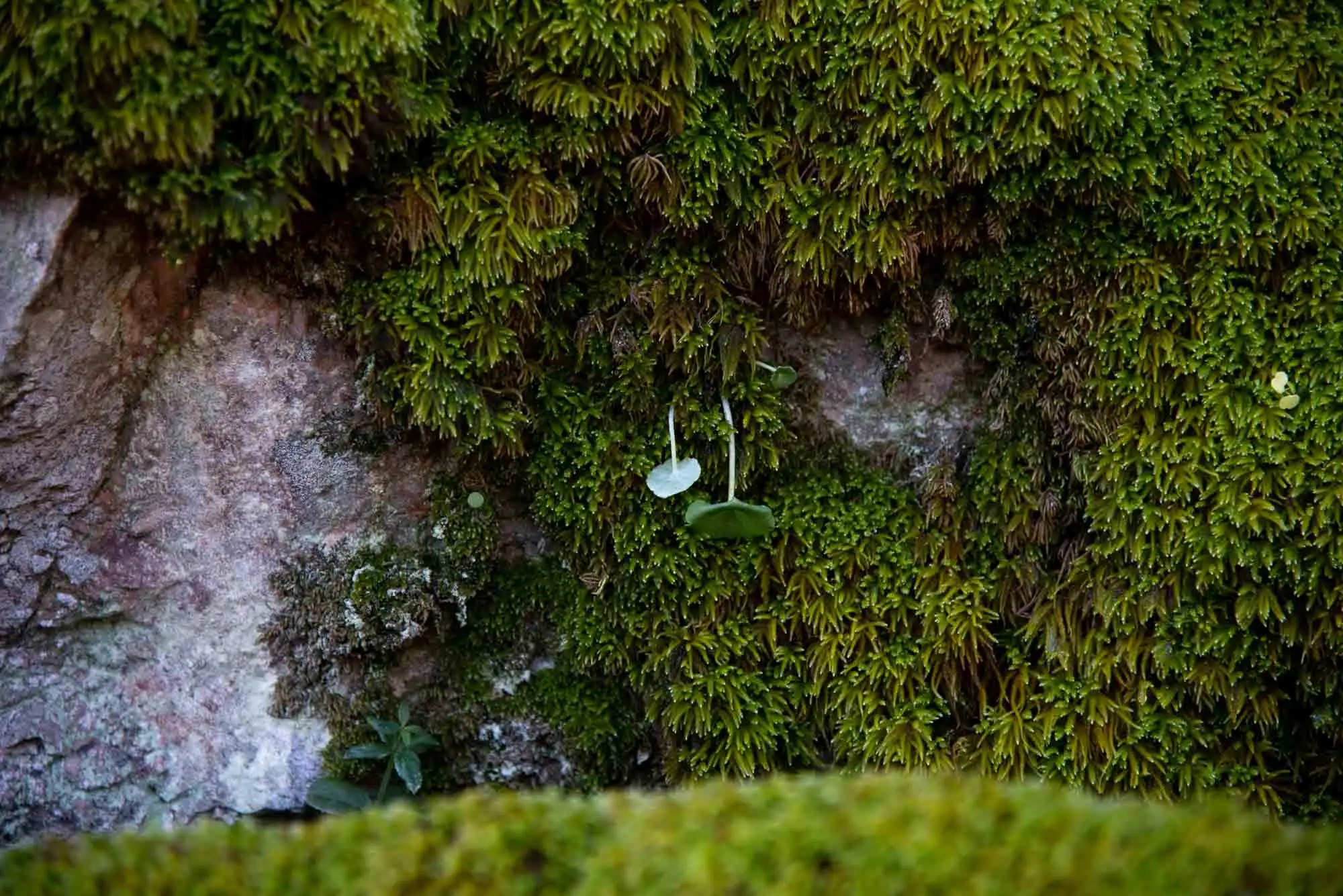
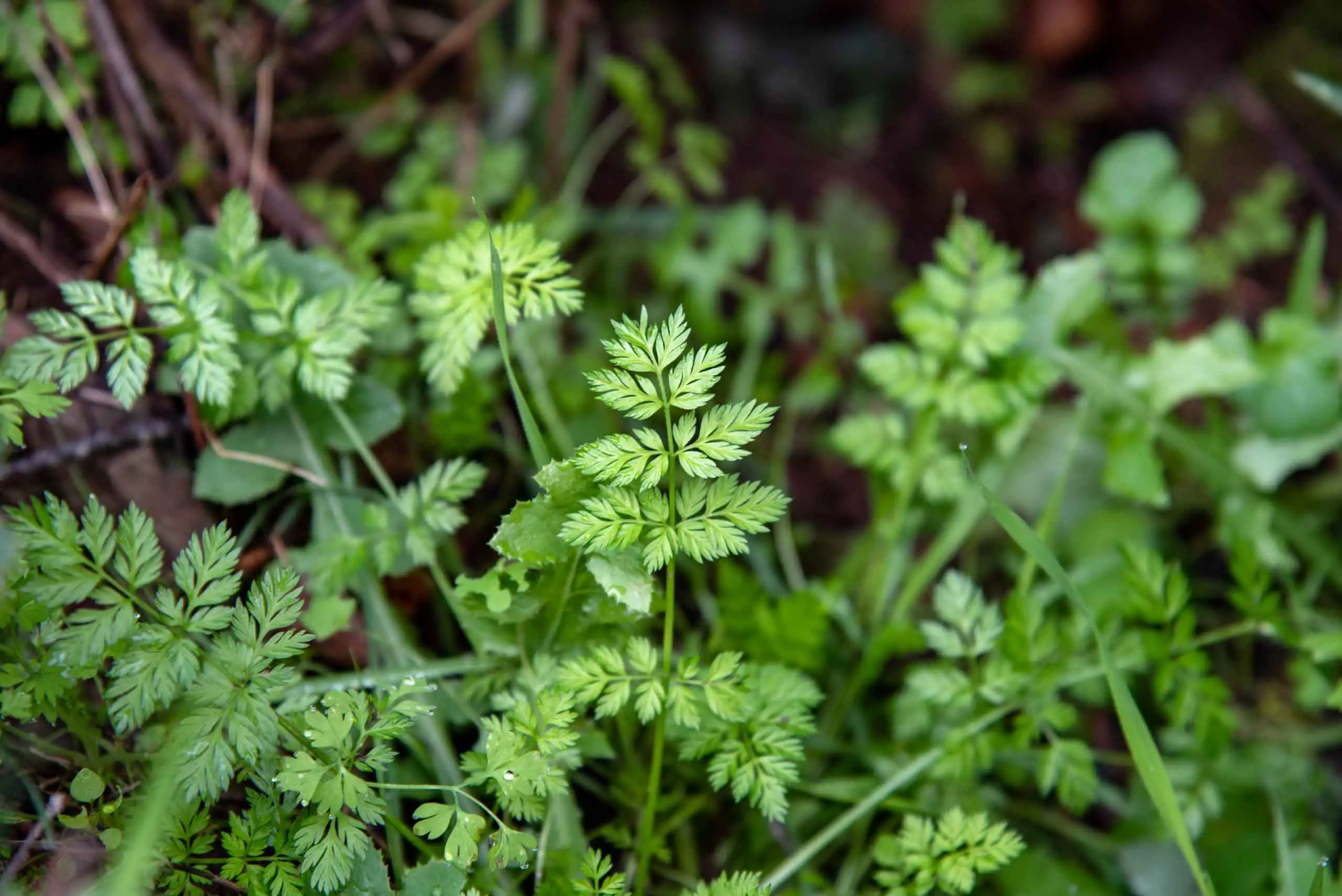
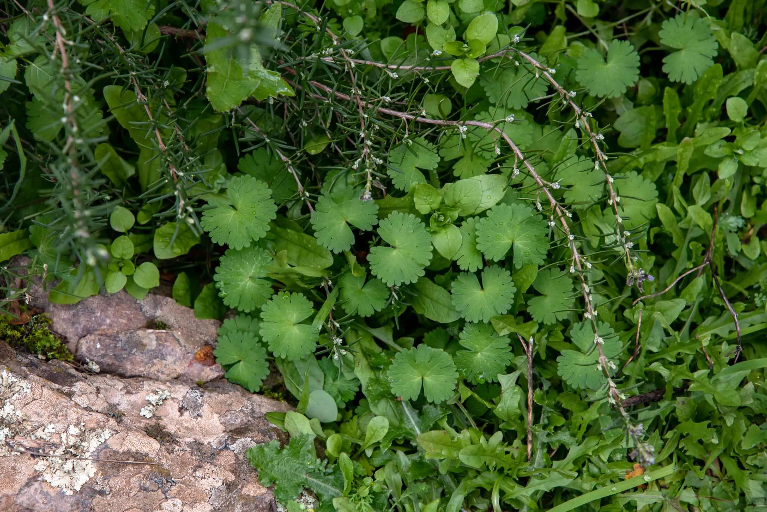
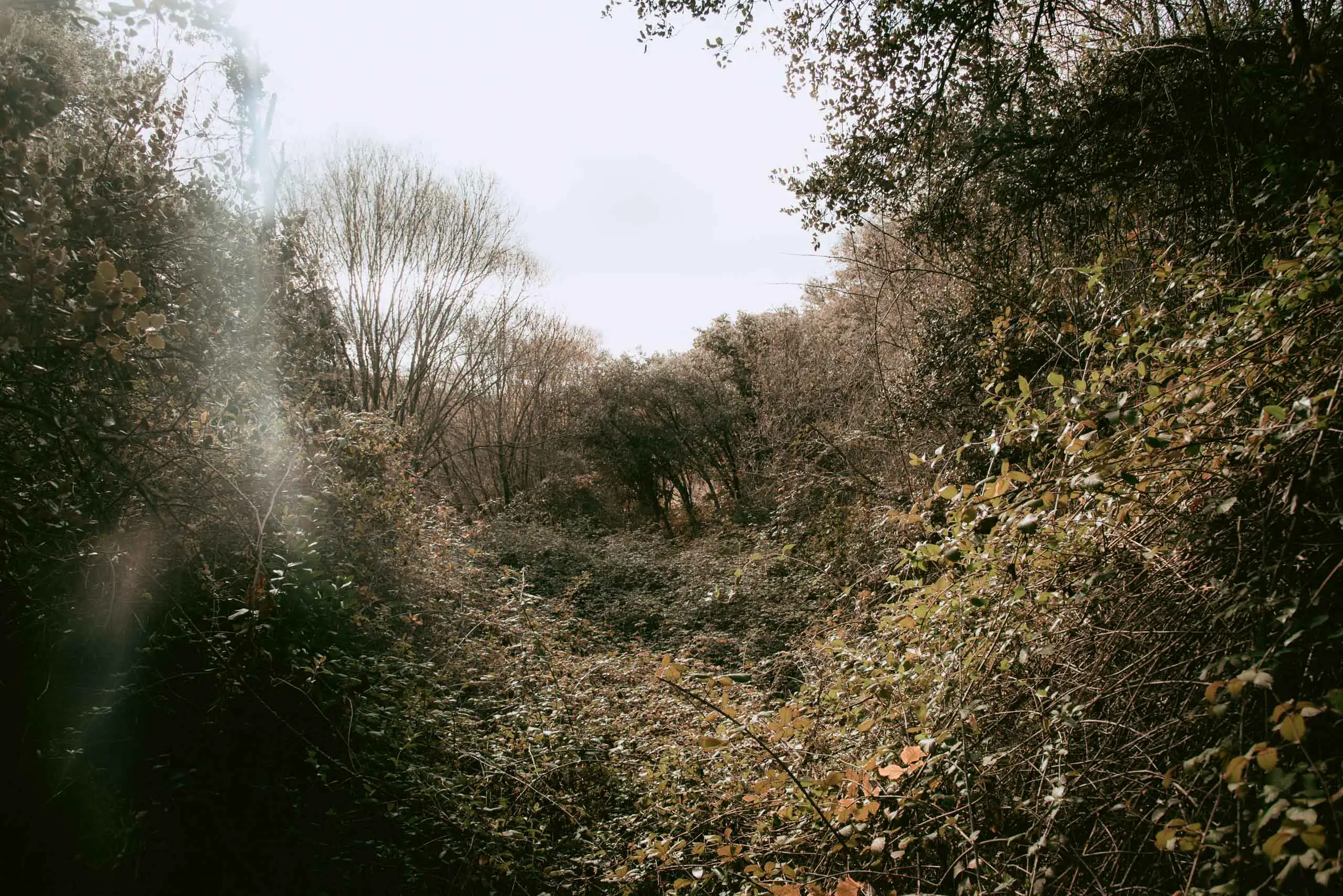
As we advance we gradually enter the riverside wood, or gallery forest. It has Atlantic features, a legacy of the glaciations: that flora has survived sheltered by the waterfall and its humidity3. There are hollies, birches, willows, ferns, butcher's-broom and wild roses, and on the rocks grow foxgloves (Digitalis spp.), pinks (Dianthus lusitanus) and stonecrops (Sedum spp.). Mosses are abundant.
The riverside wood, with moss on the ground and on the trunks.
Holly (Ilex aquifolium).
Fern (Dryopteris affinis).
Fern.
Fern.
Moss and navelwort (Umbilicus rupestris).
Butcher's-broom.
Understorey beside the stream.
Plants on the rock.
9 photos
Just before reaching the waterfall there is a spring. Very close is the first contact between sandstones and quartzites, without big changes in relief because the rocks on both sides are alike. The clue is a level of conglomerates, coarse sands with small quartzite pebbles, which almost always appears between these two formations.
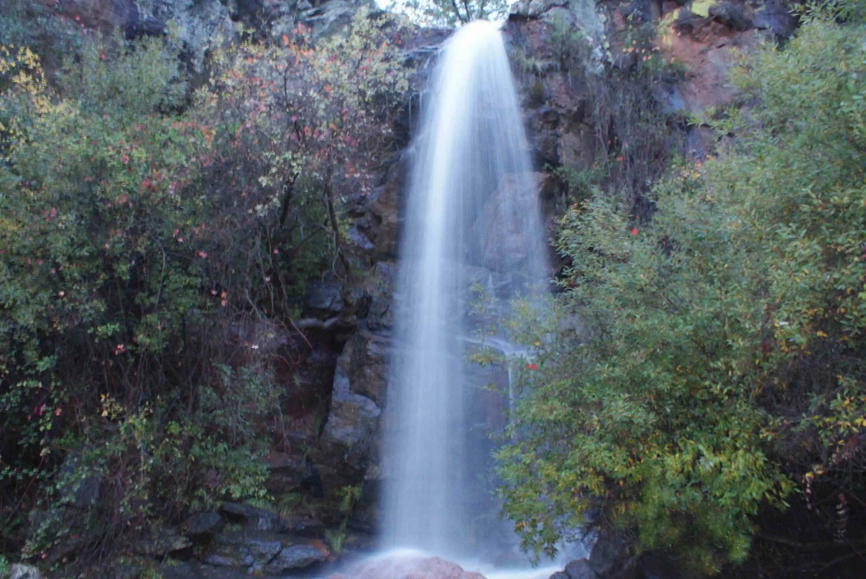
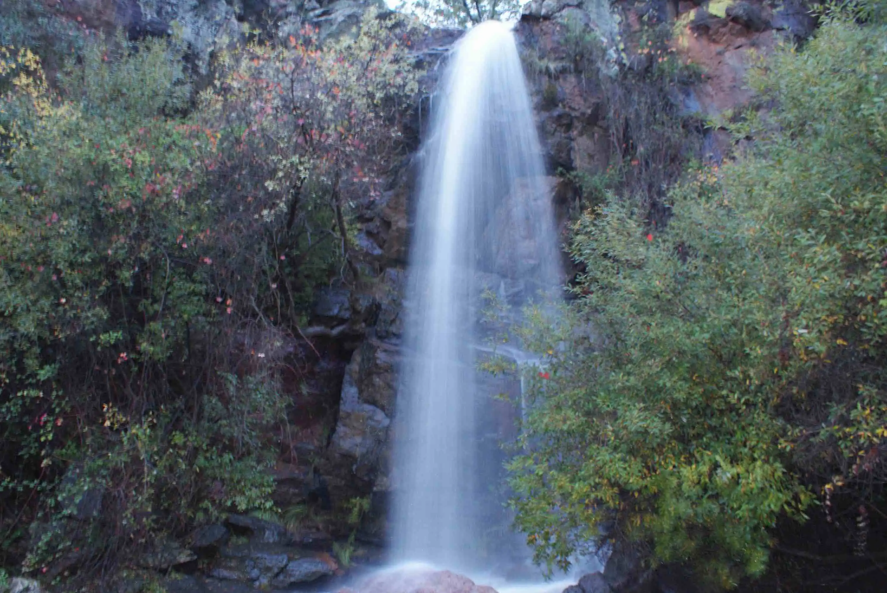
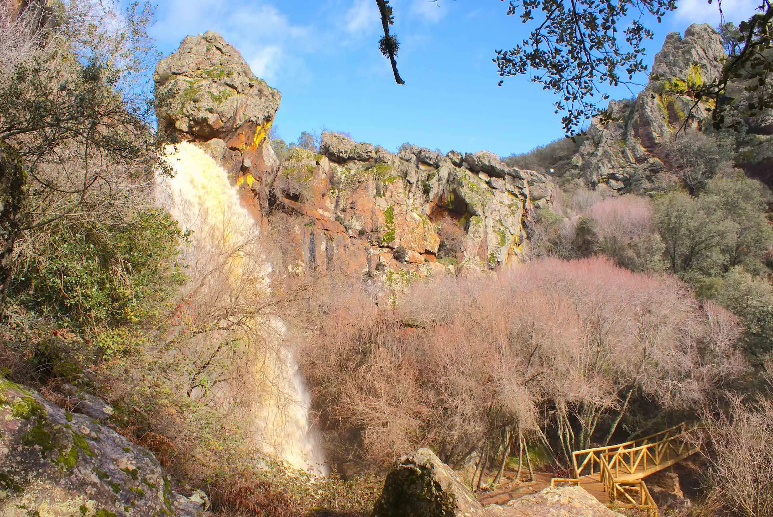
Where the change shows best is at La Chorrera itself, a 15-metre waterfall in a valley running north–south. A sudden change in relief is almost always a change of rock: here the stream passes from sandstones to harder quartzites, both of the Intermediate Beds. The sandstones have quite a lot of quartz, but do not reach the resistance of the quartzites, which are almost all quartz. Millions of years of erosion did the rest.
1A shallow seaMore than 400 million years ago, horizontal layers of sand are deposited: some with a little clay, others of almost pure quartz.
2The layers, on endAbout 350 million years ago, the Variscan Orogeny folds them and leaves them vertical: sandstones on one side and quartzites on the other.
3The water wears away the soft rockThe stream erodes the sandstones before the harder quartzite. Where they meet, the bed drops suddenly.
4The fallOver that step La Chorrera falls today: 15 metres of water.
How La Chorrera was made, in a cross-section of the stream. Not to scale.
La Chorrera.
The waterfall and its rock wall.
A spectacular spot.
3 photos
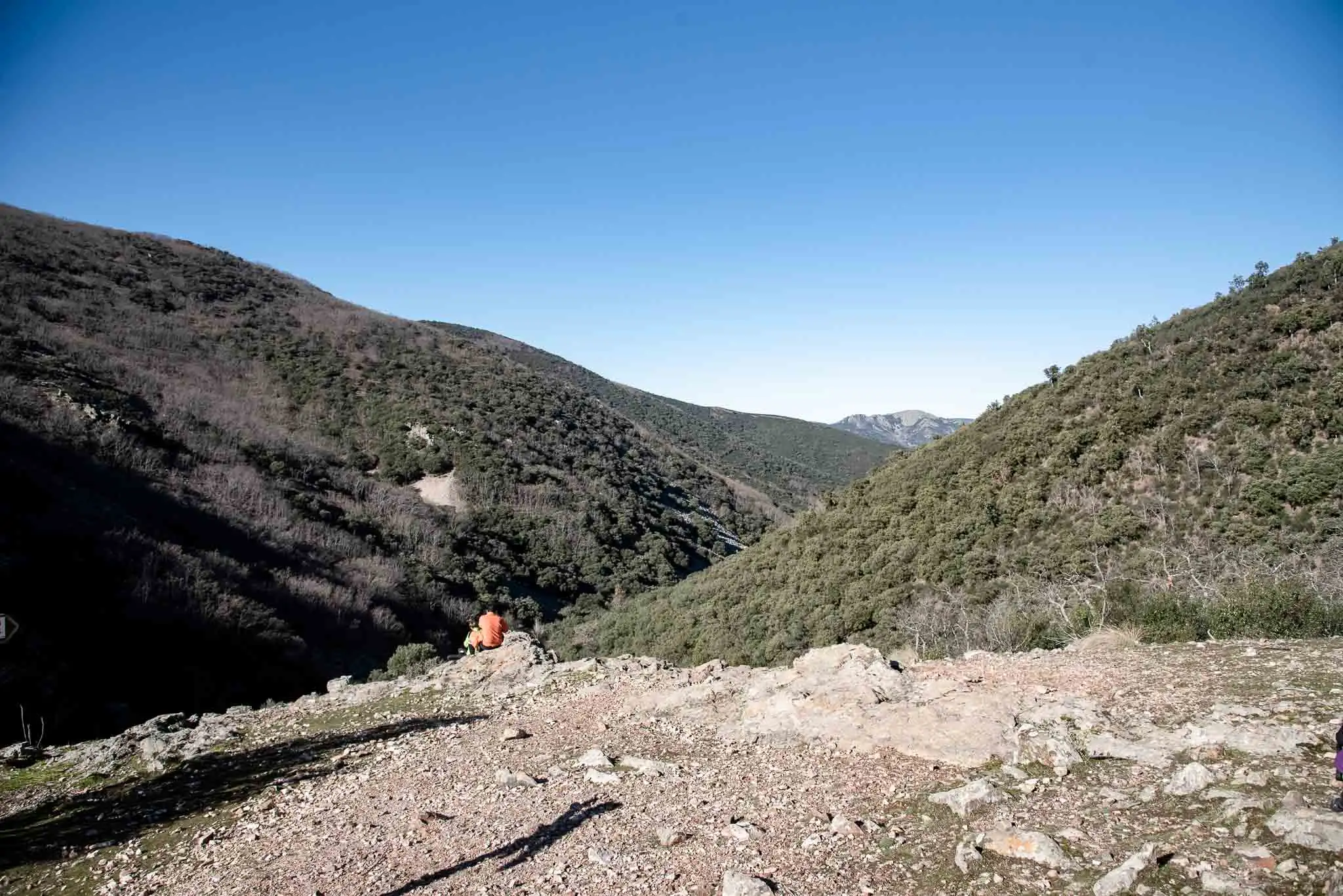
One question remains. If erosion has been working for so long, the relief should already be smooth, and in fact it once was. Today's valleys, cliffs and waterfalls are due to the faults, which raised the land in the middle of the Cenozoic, between 45 and 20 million years ago. The new watercourses cut into the rocks again and, in passing, made this waterfall4.
A 15-metre waterfall where sandstone gives way to quartzite.
5km 1.2 – 2.3
The way back
We go back along the same path. It has the advantage that we already know it and the drawback that the rocks are just as slippery.
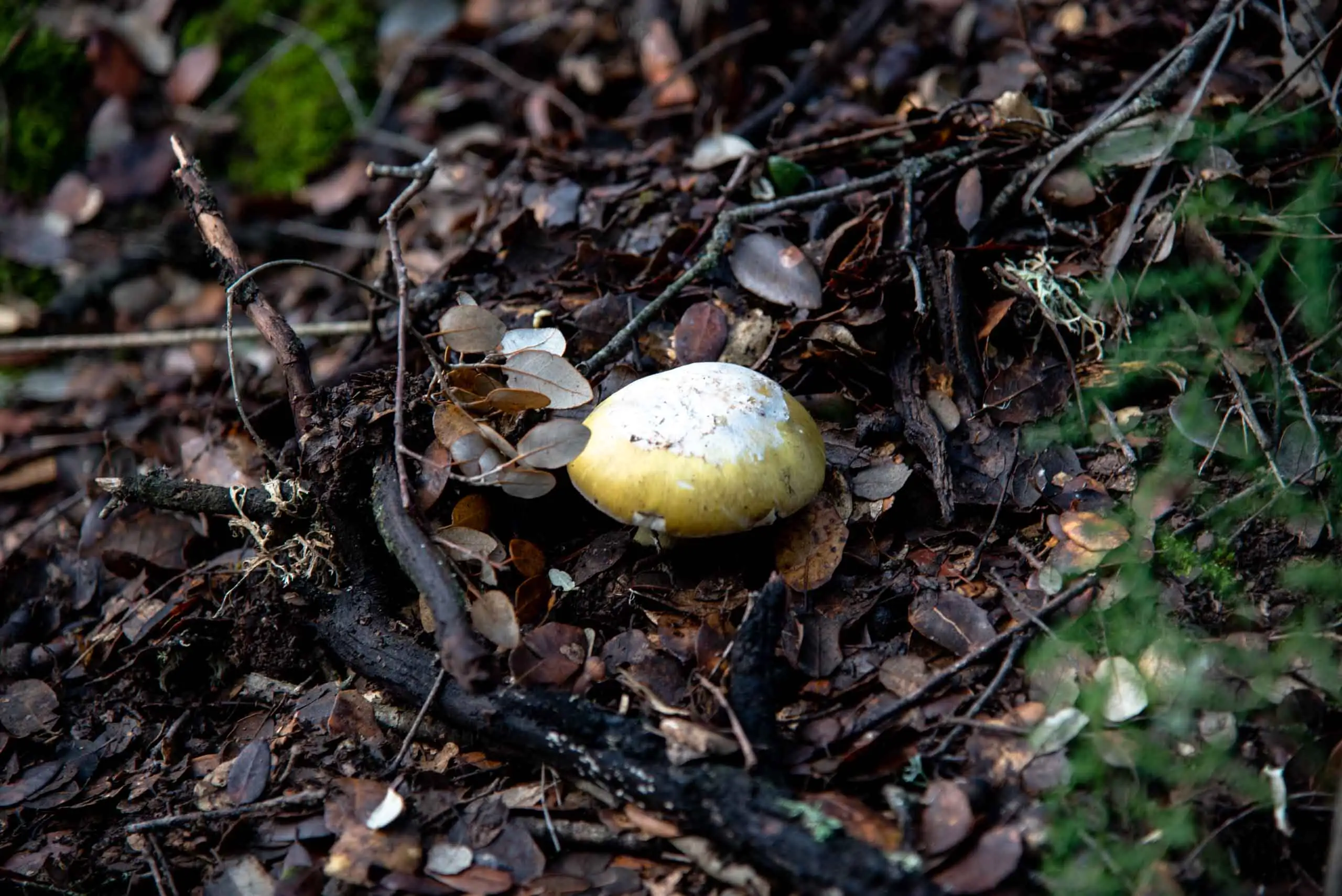
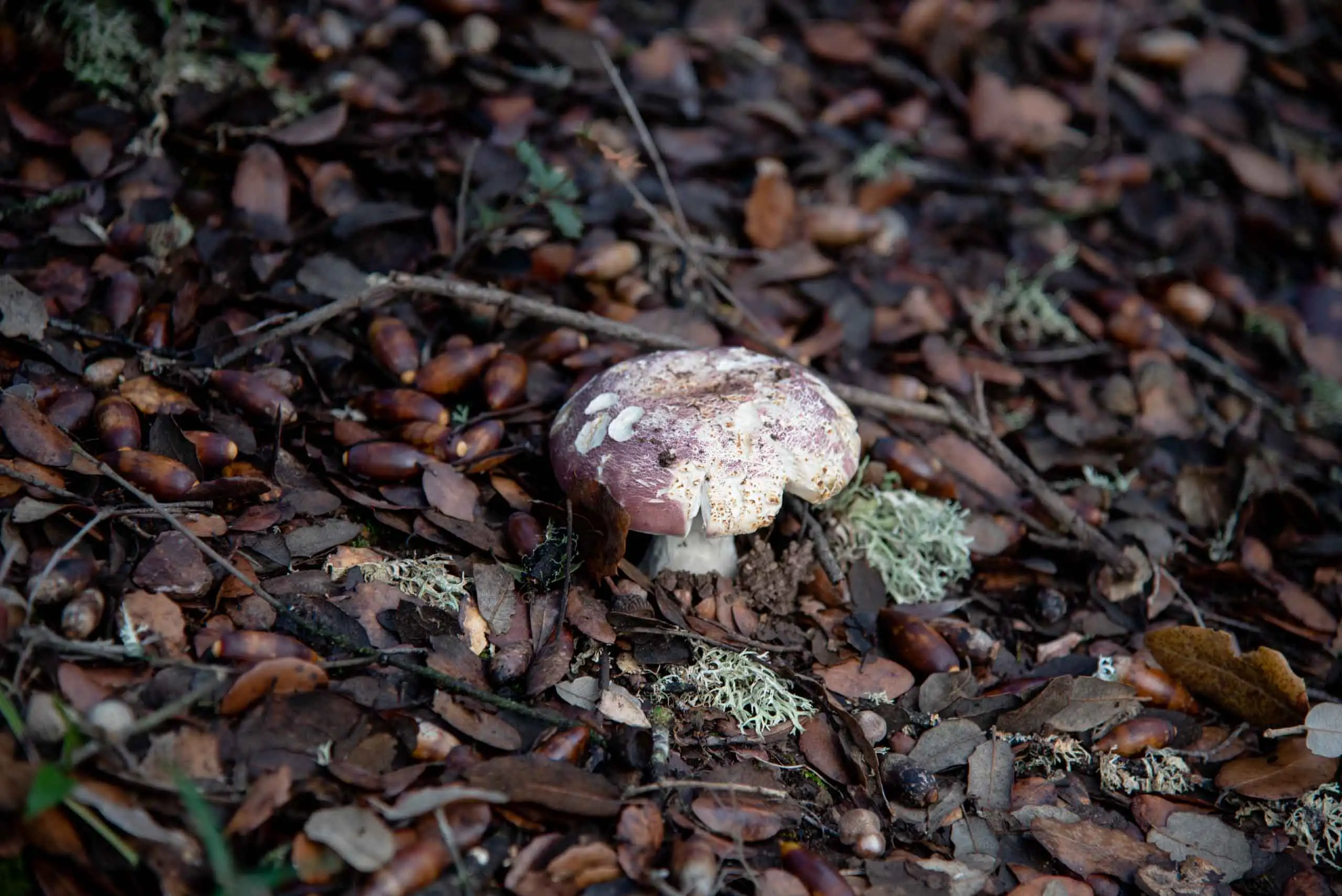
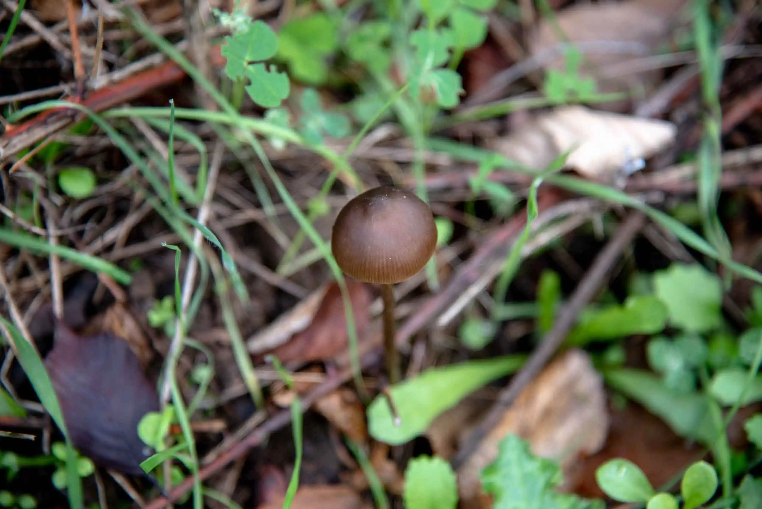
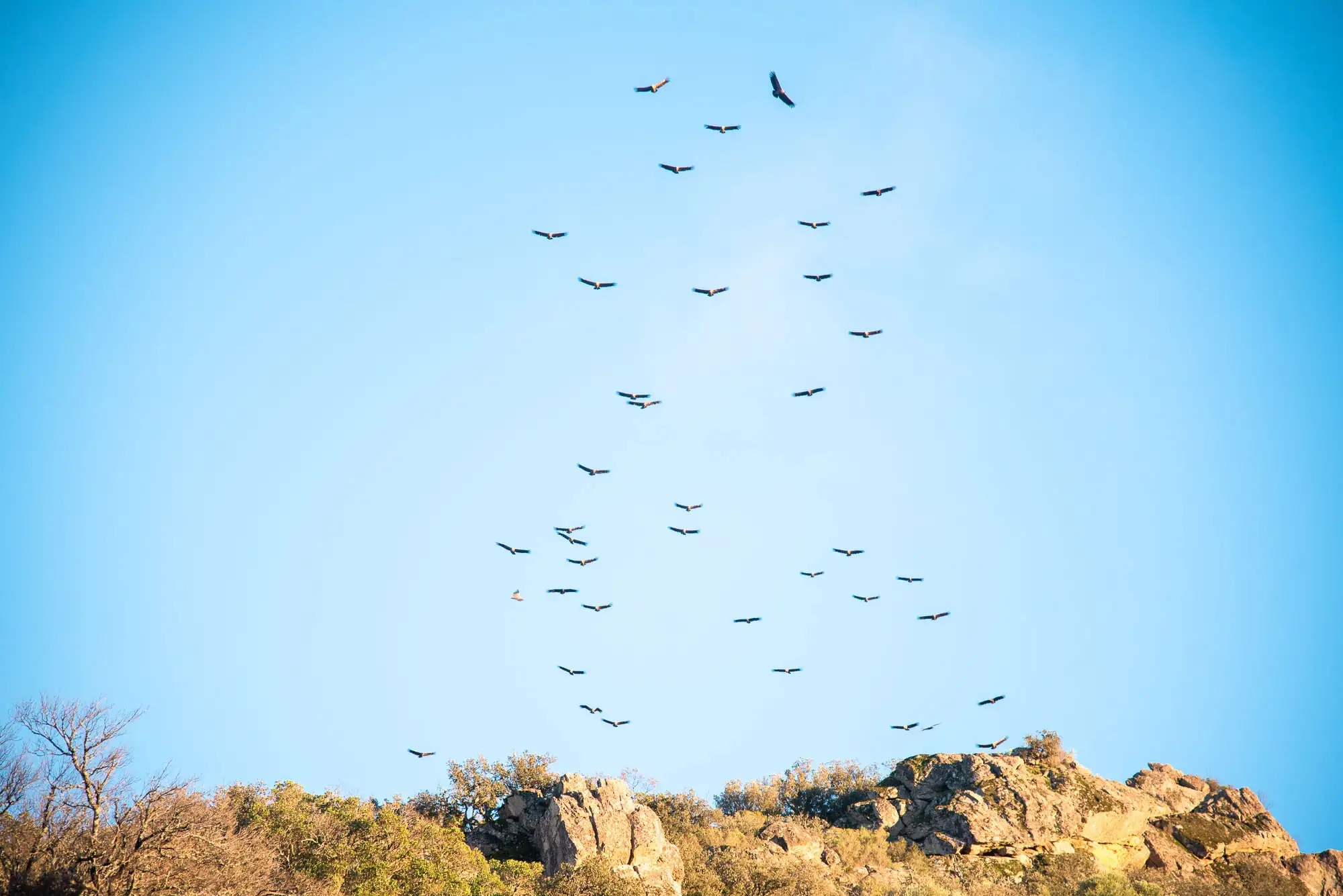
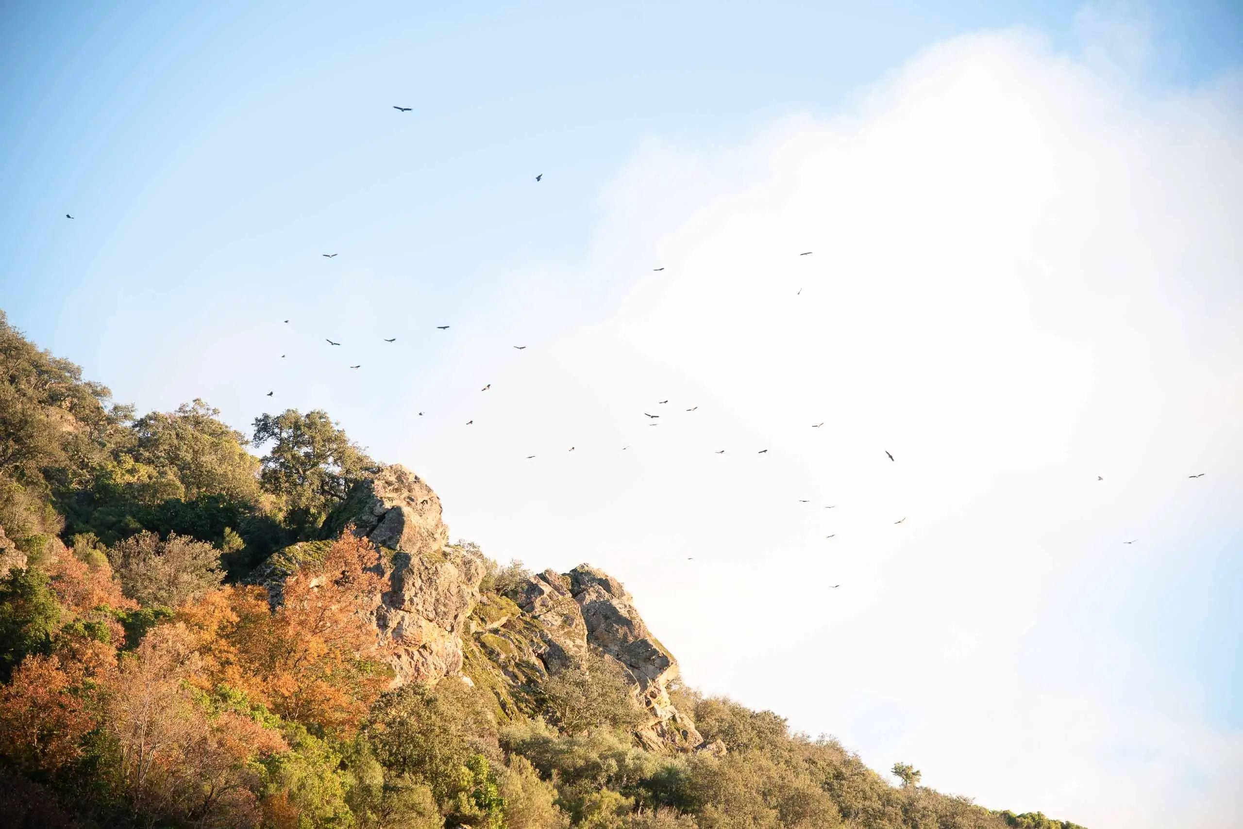
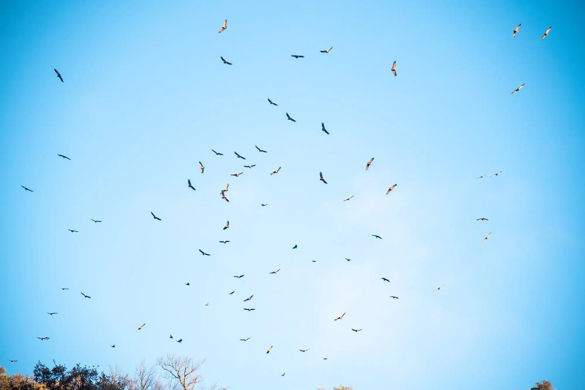
It is worth looking at the ground and at the sky. In autumn, mushrooms and fungi come up among the leaf litter. Above, vultures usually pass, and on the cliffs and the stream you can see rock-nesting birds, those that breed on rocks, such as the Crag Martin, and others tied to water: the White-throated Dipper, swallows, wagtails and the Common Kingfisher. More about the birds of the rivers of Cabañeros.
Mushrooms among the leaf litter.
Mushroom.
Fungus.
Vultures over the crags.
Vultures at La Chorrera.
Vultures at La Chorrera.
6 photos
Among the species of most interest at La Chorrera are the birch (Betula pendula subsp. fontqueri var. parvibracteata), the holly (Ilex aquifolium), the willows (Salix salviifolia and Salix atrocinerea), the Montpellier maple (Acer monspessulanum), cross-leaved heath (Erica tetralix), Portuguese heath (Erica lusitanica), the ferns (Osmunda regalis, Blechnum spicant, Athyrium filix-femina and Dryopteris affinis), butcher's-broom (Ruscus aculeatus), wild roses (Rosa sp.), orchids (Cephalanthera longifolia, Dactylorhiza maculata and Orchis spp.), honeysuckle (Lonicera periclymenum subsp. hispanica) and the sedge Carex elata subsp. reuteriana, which grows in tussocks.
Perea García-Calvo, R., Perea Ruiz-Tapiador, D. y Giménez Velasco, G. F. (2015). Vegetación y flora del Parque Nacional de Cabañeros. Volumen I. El paisaje vegetal: ecología, conservación y rutas de interés geobotánico. Madrid: Editorial Solitario.
Rodríguez Fernández, R. (ed.) (2017). Parque Nacional de Cabañeros. Guía geológica. Madrid: Instituto Geológico y Minero de España.
Rodríguez Fernández (ed.), <em>Parque Nacional de Cabañeros. Guía geológica</em> (IGME, 2017), the source of the geological part of this page.↩
The park's Geological Guide (IGME, 2017). The fault breccia can also be seen in the quartzite towers of the Boquerón del Estena, inside the park.↩
Perea García-Calvo, Perea Ruiz-Tapiador and Giménez Velasco, <em>Vegetación y flora del Parque Nacional de Cabañeros</em>, vol. I (Editorial Solitario, 2015).↩
The park's Geological Guide (IGME, 2017). The layers were deposited more than 400 million years ago, stood on end about 350 ago with the Variscan Orogeny, and the uplift that reactivated erosion happened between 45 and 20 million years ago.↩
Text and photos by Mariano Gómez, except where indicated. Updated on 14 October 2026.